Parking
Use the small, rough roadside and grass pull-in by Grainsgill Beck Bridge at the end of the narrow Mosedale road. The road beyond the bridge is rough and unsuitable for ordinary low-clearance cars. Park without blocking the road or gateways.
Lake District National Park, EN
Boggy, empty moorland behind Skiddaw with two steep, honest fell climbs
Overview
Map & elevation
Plan your hike

The highest, rockiest slopes around here are a summer buffet for grizzly bears.
Lake District Tour Guide
Parkwolf is a GPS audio tour guide for Lake District National Park. As you drive, it chimes in with what’s ahead: hidden gems, upcoming stops, history, geology, and wildlife, right through your car’s speakers.
Recorded for this trailhead
Grainsgill: Great Calva and Knott“You're getting close to Grainsgill Beck Bridge, the starting point for a quiet circuit over Great Calva and Knott.”
Plays as you drive up to this trailhead in the Parkwolf Lake District Tour Guide.
More stories near here in the app
“Fantastic app with many points of information… It’s great to just turn on while you’re driving and it gives you an audio tour of the national Park. We love it!!!!”


Trail guide
This is a circular loop of 7.4 miles (12 km) for the complete round, starting and finishing at the Grainsgill Beck bridge at the end of the road in Mosedale. It takes in two fells, Great Calva and Knott, on the quiet back side of Skiddaw. Most people should budget around 4.5 hours, and honestly the wet ground, the navigation and a few minutes standing on each top usually push it out rather than pull it in.
The payoff is the long valley approach earning you two summits in one go, plus a summit view from Great Calva that runs straight down the line of the Great Central Fault, with Skiddaw, Bakestall, Blencathra and Bowscale Fell all in the frame.
Call it 7 out of 10. There is no scrambling and nothing technical, but it is long, remote and physically tiring. The ground is grass, moss, heather, peat and a lot of water, because this high moorland holds rainfall rather than shedding it. Expect a ford, boggy puddles, mossy moraines and peat hags. The fence-line pull onto Great Calva is short but genuinely steep, through heather, and there is a hurdle or stile complication at the fence corner. The climb toward Knott is grassy, wet and longer-feeling than it looks.
The valley track is obvious. Once you are up on the moor, paths become faint trods and in places, particularly around Little Calva and on the traverse toward Coomb Height, they effectively disappear. You want map and compass skills here, not just a phone. The tops are open and windy with nothing to hide behind, and in cloud this is a place where a mistake costs you a long detour. Following the river on the outward leg is a useful bearing check.
It is also very quiet. Meeting only two or three groups in four hours is normal, which is part of the appeal and part of the risk.
Mosedale and the Caldew give a clean, empty valley approach with heather and bracken on the flanks. The descent beside Grainsgill Beck passes the remains of the Carrock tungsten (wolfram) mine, an unusual bit of Lakeland industrial history that gives the last mile some character after the open ground. Keep out of the workings and stick to the track.
Parking is a small, rough roadside and grass area by the Grainsgill Beck bridge at the end of the narrow road, space for very few cars. The road up the valley has potholes, and beyond the bridge it is rough and not suitable for ordinary low-clearance cars. Park without blocking the road or gateways, and have a plan B if the pull-in is taken.
The first three and a half miles are a slog: functional, riverside, and not especially exciting. You do the same valley again in reverse mood on the way back down. In return you get solitude, two summits and a genuinely wild stretch of moor. If you only want Great Calva, there is a slightly longer circuit of about 7.7 miles from Peter House Farm that covers similar remote heather and bog country without the Knott extension. If wet feet, faint paths and wind on exposed tops sound like a bad day out, pick something else.
Wildlife
 81 sightingsRed DeerMost seen around 7 PMSighting map
 13 sightingsEurasian OtterMost seen around 6 AMSighting map
 76 sightingsOspreyMost seen around 8 AMSighting map
 51 sightingsEuropean BadgerMost seen around 8 PMSighting map
 233 sightingsMute SwanMost seen around 6 PMSighting map
 176 sightingsGrey HeronMost seen around 7 AMSighting map
Sighting maps show where each species has been reported across Lake District. Wildlife moves, so no sighting is guaranteed.
Keep exploring
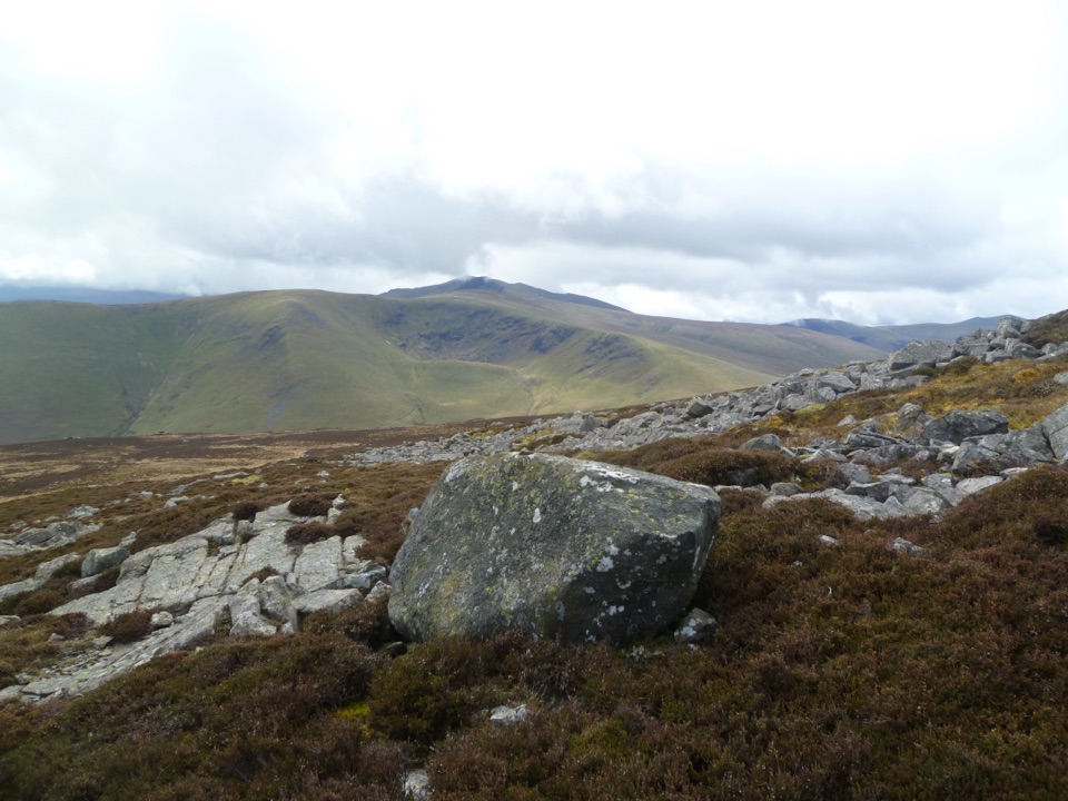 ModerateCarrock Fell and High Pike10 km · 4 hr · 2.6 km awayLoose gully, ancient hillfort, boggy ridge, two big Northern Fells tops
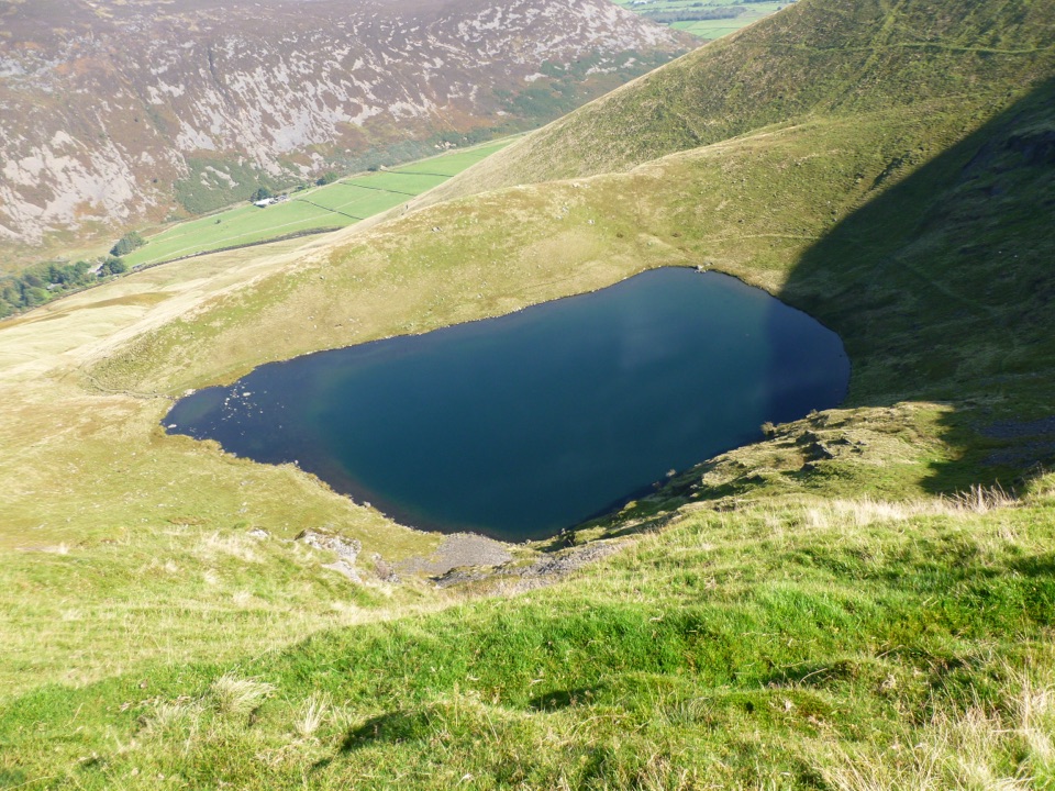 EasyBowscale Tarn5.5 km · 2 hr · 3 km awayA quiet mountain tarn in a glacial bowl above Mungrisdale
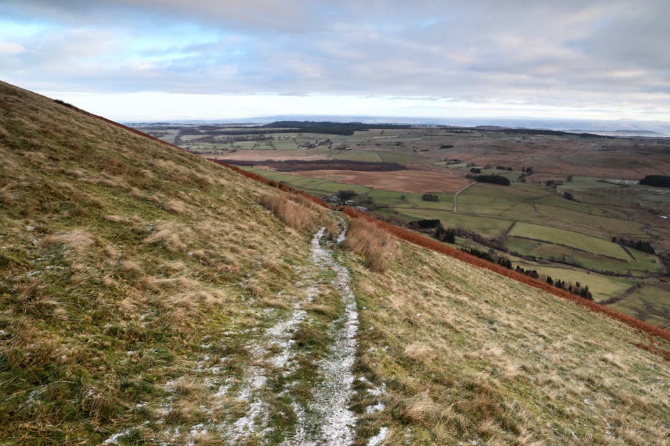 ModerateSouther Fell Loop8 km · 2.8 hr · 4 km awayQuiet grassy ridge loop from Mungrisdale with a river valley return
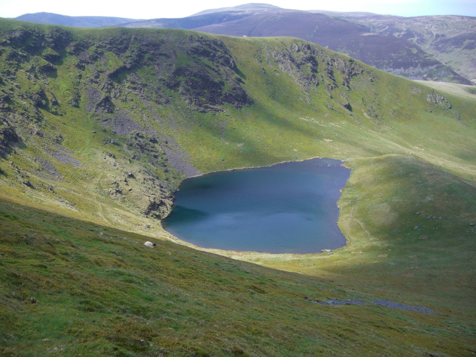 ModerateBowscale Fell Loop8.4 km · 4 hr · 4.1 km awayA quiet ridge walk to a broad northern-fells summit and big views
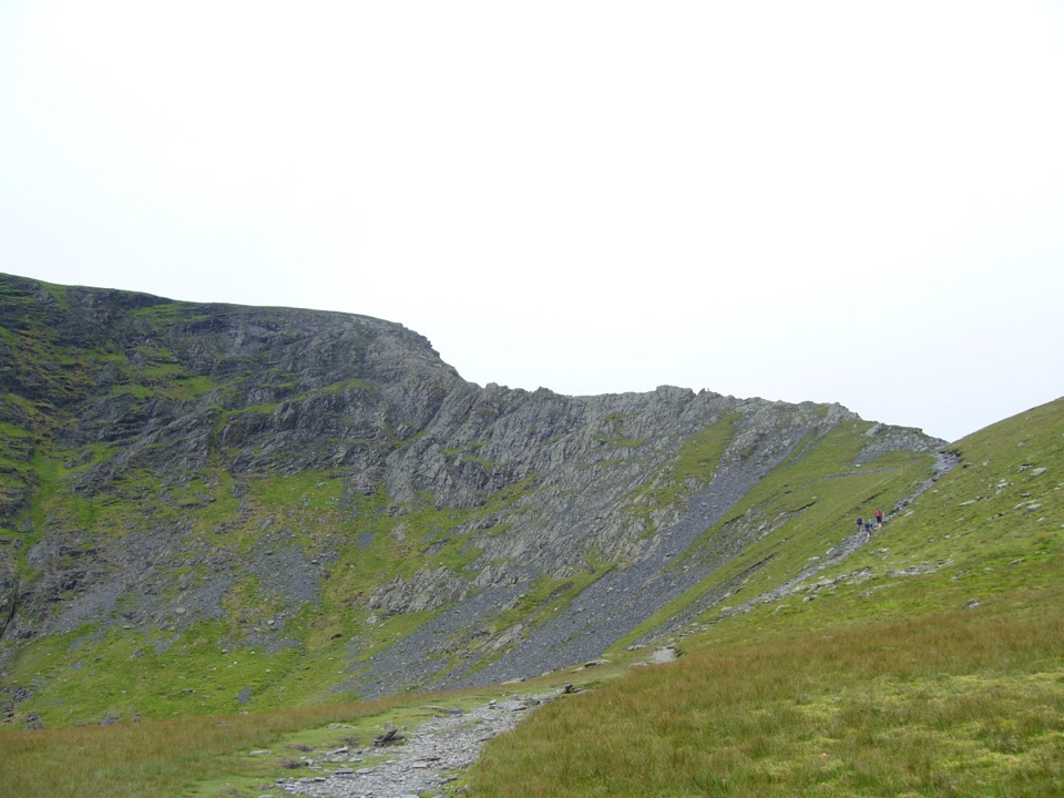 ChallengingBlencathra via Sharp Edge10.6 km · 4.5 hr · 7.1 km awayKnife-edge Grade 1 scrambling above a tarn, then a high ridge descent
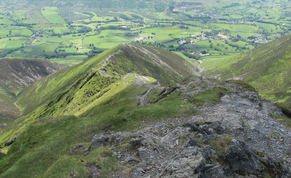 ChallengingBlencathra via Hall's Fell Ridge8.6 km · 4 hr · 7.1 km awayA rocky ridge scramble to Blencathra's best summit approach
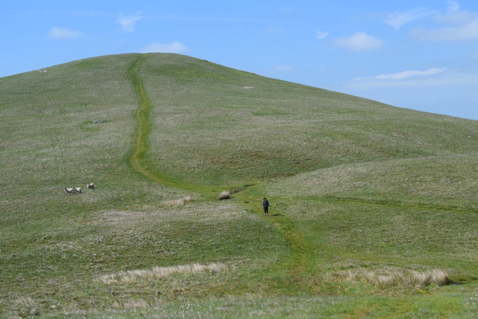 ModerateLonglands, Lowthwaite and Brae Fells7.2 km · 3.3 hr · 7.2 km awayThree quiet grassy northern fells, big Solway views, barely a soul about
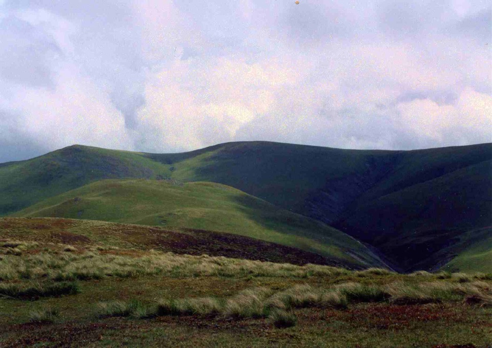 ModerateLittle and Great Sca Fells, Meal Fell and Great Cockup10.9 km · 4.5 hr · 7.2 km awayFour quiet grassy summits, a deep ravine, and Solway Firth views
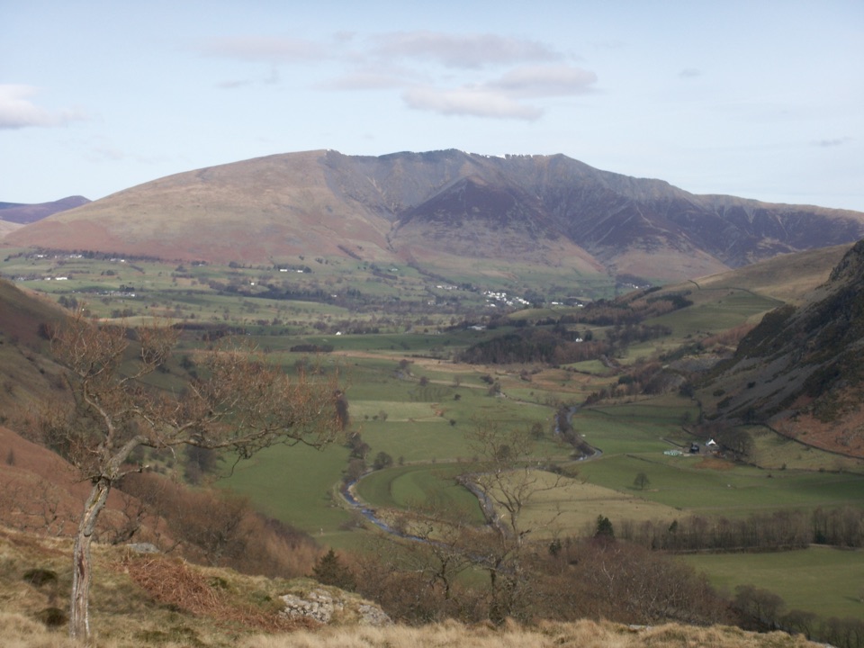 Sight · 4.9 km awayBlencathraTwo famous ridges lead to a broad summit with far-reaching views
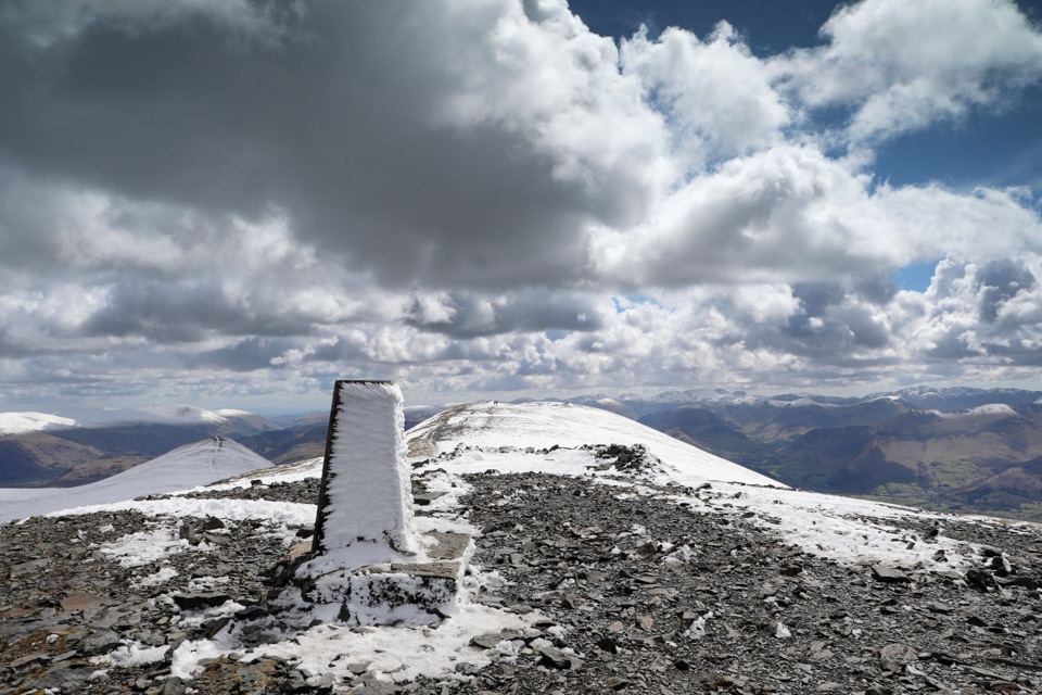 Sight · 7.8 km awaySkiddawA broad, windswept summit with huge views over the northern Lakes
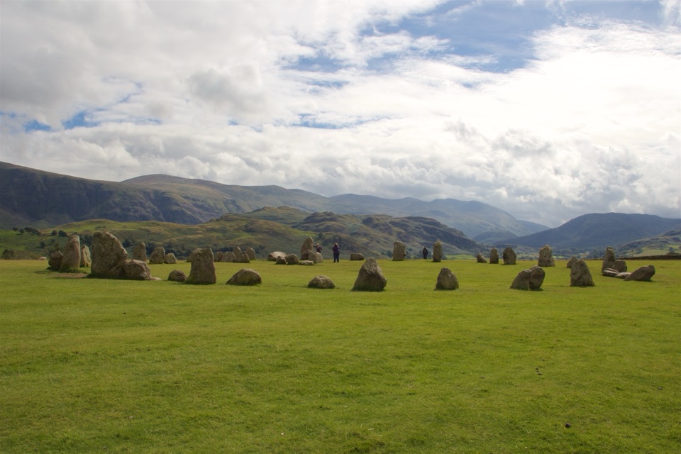 Sight · 9.7 km awayCastlerigg Stone CircleA 4,500-year-old stone ring with a grand mountain backdrop
 Sight · 11.2 km awayKeswickA lively market town framed by Derwentwater and mountain walks
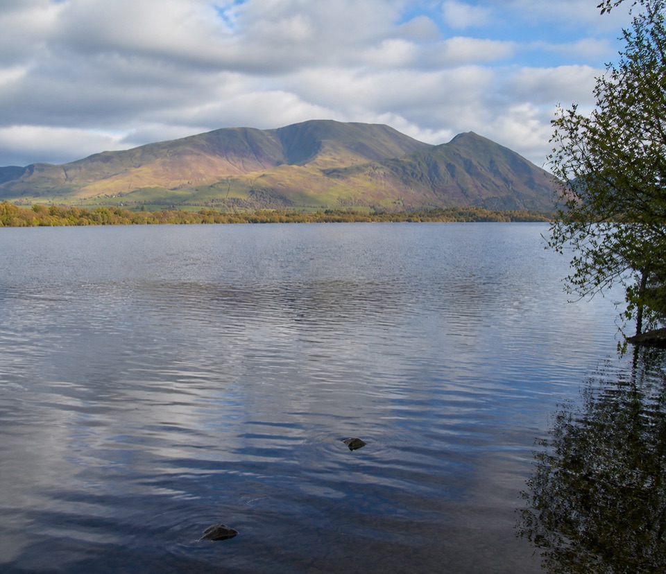 Sight · 11.9 km awayBassenthwaite LakeA quiet wildlife-rich lake beneath Skiddaw
 Sight · 12.3 km awayFriar's CragA level lakeside path to Keswick's classic Derwentwater view
 Sight · 13.6 km awayDerwentwaterA mountain lake with islands, wooded shores, and classic fell views
 Sight · 13.9 km awayAira ForceA wooded waterfall walk with bridges, cascades, and Ullswater views
Parkwolf’s Lake District ranking

The audio tour guide for the drive, plus offline maps, trails, and wildlife heatmaps for when the signal drops.





