Parking
Use the small roadside parking area in Bowscale hamlet, on the right just before the road bends sharply between the cottages, around NY 359 316. Space is limited. Do not block the road, gate, or residents' access.
Lake District National Park, EN
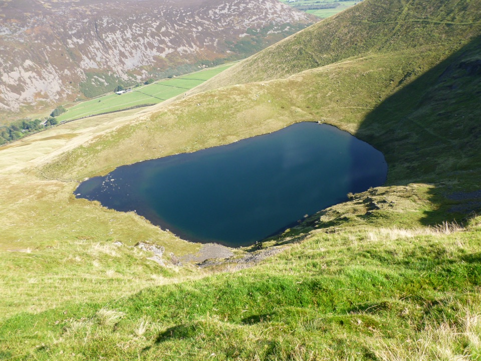
A quiet mountain tarn in a glacial bowl above Mungrisdale
Overview
Bowscale Tarn sits in a compact glacial corrie, held behind a conspicuous moraine and steep crags. The approach and return open onto the Caldew valley, while the tarn itself feels properly secluded. Expect rough fell grass, heather and bracken, with grazing sheep on the surrounding slopes. Local lore gives the tarn two immortal fish, a nice detail to look for in the old descriptions of the place.
 Parkwolf’s verdictThe payoff
Map & elevation
Plan your hike

The highest, rockiest slopes around here are a summer buffet for grizzly bears.
Lake District Tour Guide
Parkwolf is a GPS audio tour guide for Lake District National Park. As you drive, it chimes in with what’s ahead: hidden gems, upcoming stops, history, geology, and wildlife, right through your car’s speakers.
Recorded for this trailhead
Bowscale Tarn: A Two-Hour Fell Walk“Up ahead is Bowscale hamlet, the starting point for the walk to Bowscale Tarn. I'd choose this stop if you have a couple of hours and fancy a secluded mountain lake tucked beneath steep crags.”
Plays as you drive up to this trailhead in the Parkwolf Lake District Tour Guide.
More stories near here in the app
“Fantastic app with many points of information… It’s great to just turn on while you’re driving and it gives you an audio tour of the national Park. We love it!!!!”


Trail guide
This is a 3.4-mile (5.5 km) loop from the small parking area in Bowscale hamlet. The stored distance is the complete loop, not an out-and-back. Follow the signed public bridleway through the gate and west along the rough track. When it fades to a path, take the rising fork toward the tarn's outfall. The return follows the tarn edge to the col, then drops back to the outward track.
This is a good short mountain walk when you want a real tarn without committing to a summit day. The north-facing corrie can stay shaded, so low light or bright overcast conditions usually show the water and crags best. Dogs may use the route, but keep them under close control and on a short lead around livestock. For a longer, harder day, Bowscale Fell and Bannerdale Crags continue above the tarn, but that is a different route and should not be confused with this loop.
Wildlife
 81 sightingsRed DeerMost seen around 7 PMSighting map
 13 sightingsEurasian OtterMost seen around 6 AMSighting map
 76 sightingsOspreyMost seen around 8 AMSighting map
 51 sightingsEuropean BadgerMost seen around 8 PMSighting map
 233 sightingsMute SwanMost seen around 6 PMSighting map
 176 sightingsGrey HeronMost seen around 7 AMSighting map
Sighting maps show where each species has been reported across Lake District. Wildlife moves, so no sighting is guaranteed.
Keep exploring
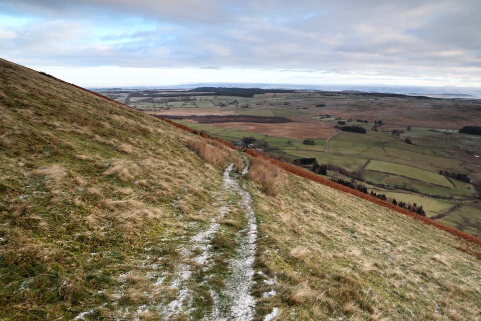 ModerateSouther Fell Loop8 km · 2.8 hr · 1.4 km awayQuiet grassy ridge loop from Mungrisdale with a river valley return
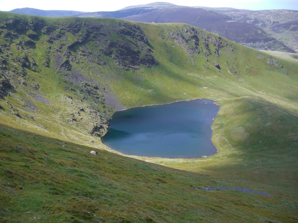 ModerateBowscale Fell Loop8.4 km · 4 hr · 1.4 km awayA quiet ridge walk to a broad northern-fells summit and big views
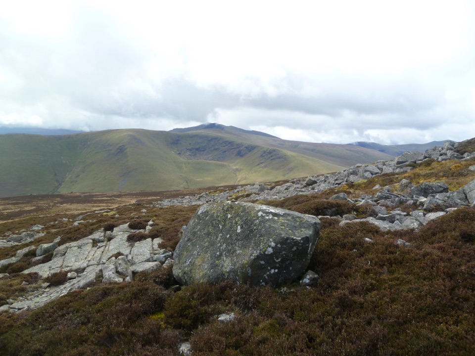 ModerateCarrock Fell and High Pike10 km · 4 hr · 2.2 km awayLoose gully, ancient hillfort, boggy ridge, two big Northern Fells tops
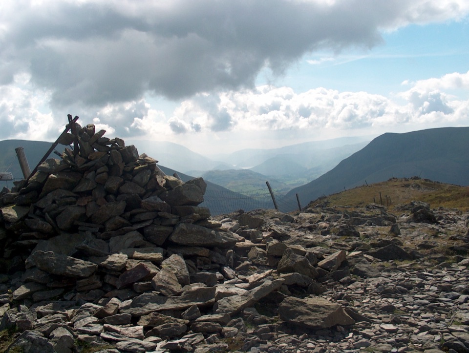 ChallengingGreat Calva and Knott from Mosedale11.9 km · 4.5 hr · 3 km awayBoggy, empty moorland behind Skiddaw with two steep, honest fell climbs
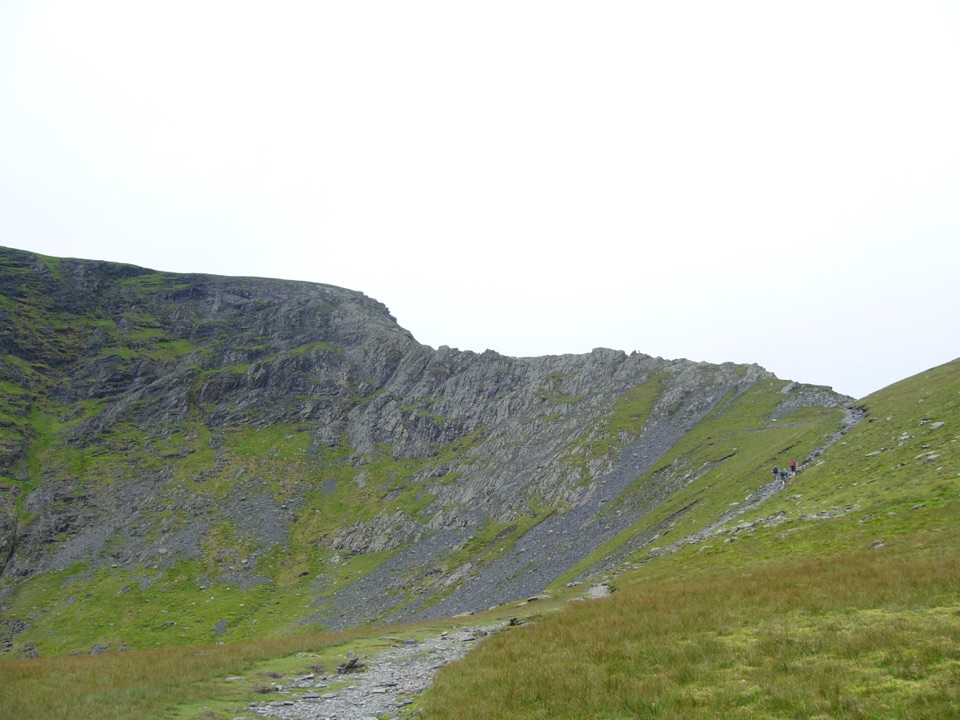 ChallengingBlencathra via Sharp Edge10.6 km · 4.5 hr · 7.3 km awayKnife-edge Grade 1 scrambling above a tarn, then a high ridge descent
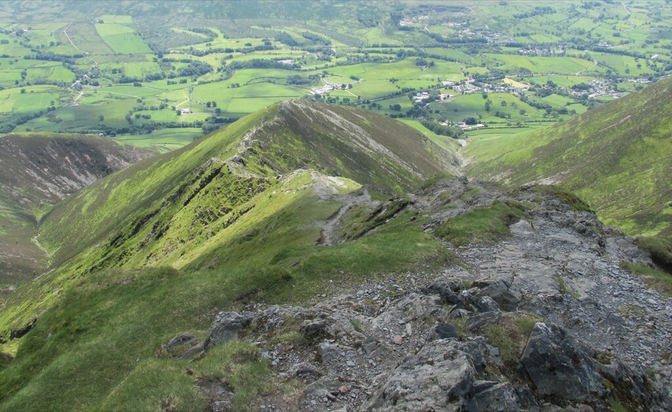 ChallengingBlencathra via Hall's Fell Ridge8.6 km · 4 hr · 7.3 km awayA rocky ridge scramble to Blencathra's best summit approach
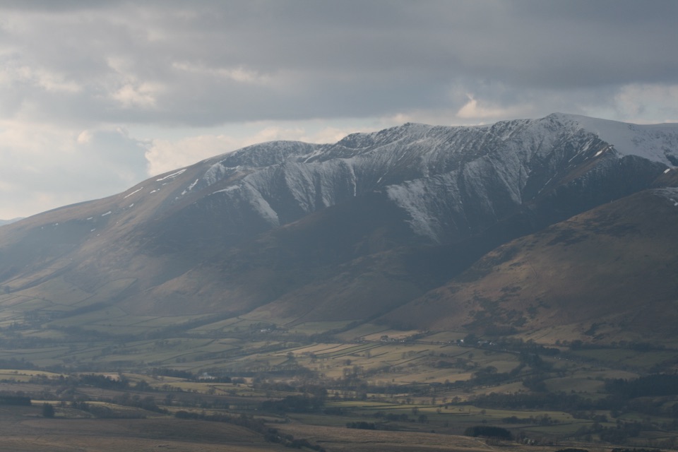 ModerateGreat Mell Fell3.4 km · 1.8 hr · 8.4 km awayA steep little summit with outsized views across the northern Lakes
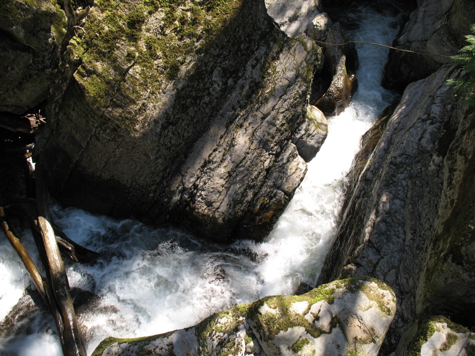 EasyThe Howk, Caldbeck1 km · 30 min · 9 km awayA tiny riverside walk to a ruined mill and limestone gorge
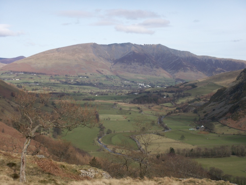 Sight · 5.3 km awayBlencathraTwo famous ridges lead to a broad summit with far-reaching views
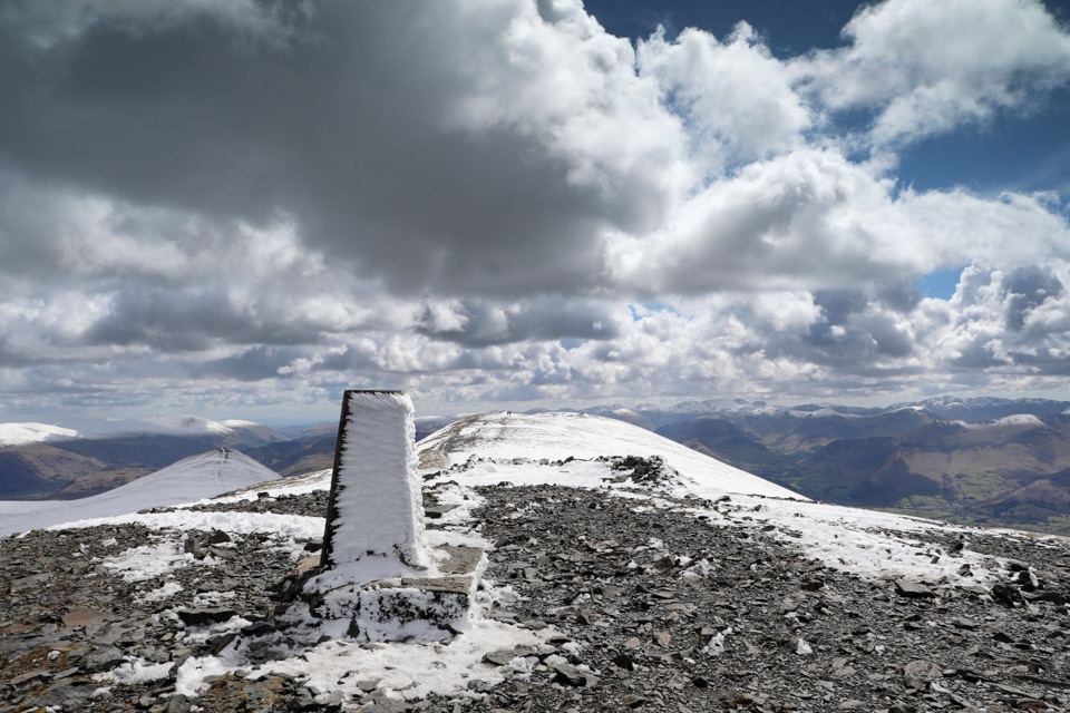 Sight · 10.2 km awaySkiddawA broad, windswept summit with huge views over the northern Lakes
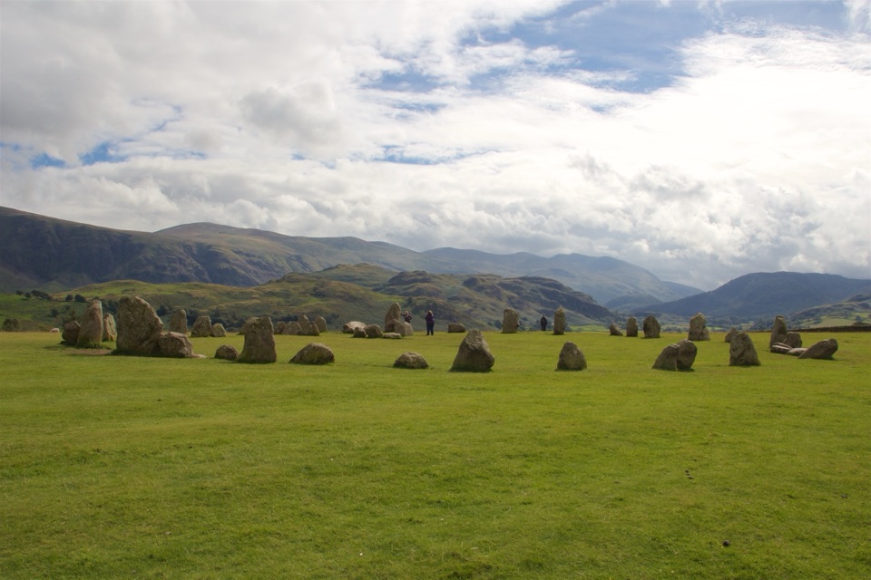 Sight · 10.4 km awayCastlerigg Stone CircleA 4,500-year-old stone ring with a grand mountain backdrop
 Sight · 11.7 km awayAira ForceA wooded waterfall walk with bridges, cascades, and Ullswater views
 Sight · 12.4 km awayKeswickA lively market town framed by Derwentwater and mountain walks
 Sight · 13.1 km awayUllswaterA mountain-rimmed lake made for cruises, walks, and changing light
 Sight · 13.4 km awayFriar's CragA level lakeside path to Keswick's classic Derwentwater view
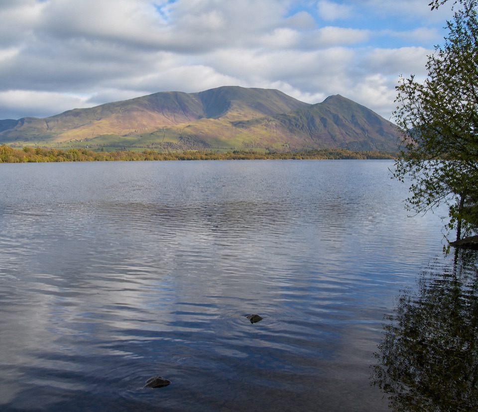 Sight · 14.5 km awayBassenthwaite LakeA quiet wildlife-rich lake beneath Skiddaw
Parkwolf’s Lake District ranking
The audio tour guide for the drive, plus offline maps, trails, and wildlife heatmaps for when the signal drops.





