Parking
Start at the car park at the head of Gale Road, reached from the A591 via Applethwaite or Ormathwaite. The signed gates for the route are at the head of the car park; there are no facilities on the walk.
Lake District National Park, EN
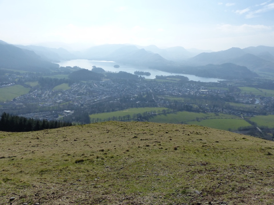
Short steep stone path to a bench above Derwentwater and Borrowdale
Overview
Map & elevation
Plan your hike

The highest, rockiest slopes around here are a summer buffet for grizzly bears.
Lake District Tour Guide
Parkwolf is a GPS audio tour guide for Lake District National Park. As you drive, it chimes in with what’s ahead: hidden gems, upcoming stops, history, geology, and wildlife, right through your car’s speakers.
Recorded for this trailhead
Skiddaw and Latrigg from Gale Road“You're nearing the access roads for Skiddaw and Latrigg, where the walks begin at the small car park at the head of Gale Road.”
Plays as you drive up to this trailhead in the Parkwolf Lake District Tour Guide.
More stories near here in the app
“Fantastic app with many points of information… It’s great to just turn on while you’re driving and it gives you an audio tour of the national Park. We love it!!!!”


Trail guide
An out-and-back on the marked limited mobility path at the head of Gale Road, walked to the official viewpoint bench and then retraced by the same corridor. Total visitor distance is 2 km, about 1.24 miles round trip, with the physical path measuring roughly 0.72 miles one way. Allow about 45 minutes at an ordinary pace with a stop at the bench, or close to half an hour if you keep moving.
From the car park, go through two gates where the Latrigg limited mobility path is signed. The climb is hardest at the start, then eases as the path reaches a resting place. From there the route dips slightly to a junction with a public footpath, rises again at a steady grade, and finishes on a small plateau with a bench. That bench is the turning point, and it is where the walk pays off for the effort.
The surface is well compacted stone for the whole marked route, which makes footing straightforward in most conditions. Steepness is the limiting factor rather than the surface:
Wheelchair users should judge the route on gradient and expect to need assistance on the first section.
The bench looks out over Derwentwater and up the Borrowdale valley, with Keswick below and the bulk of Skiddaw, Lonscale Pike and the western flank of Blencathra close at hand. On a clear day the far skyline adds Scafell Pike, Great End, Great Gable and Helvellyn.
Practical difficulty is 4 out of 10: short, but with a genuine climb at the start and uneven ground on the last stretch. The summit of Latrigg lies a little beyond the bench, and the path there becomes steep and uneven. This record ends at the viewpoint, and turning around at the bench is the sensible choice if you want the graded surface the whole way. There are no toilets or refreshments on the walk, so sort those out in Keswick first.
The start is the car park at the head of Gale Road. It is very small and fills quickly on fine days, so arrive early or be ready to change plans. The visitor access and parking point sits slightly apart from the first mapped section of path, so expect a short link on foot before the signed gates.
Dogs are welcome on this route. Keep them under close control and on a lead wherever livestock may be present, since this is working pastoral land. On open access land a lead no longer than two metres applies from 1 March to 31 July.
If 1.24 miles is not enough, there is a separate and much longer approach that begins in Keswick and climbs by Spooney Green Lane, around 3 miles and 2 to 2.5 hours. It is a different walk with a different start, not an extension of this one.
Wildlife
 81 sightingsRed DeerMost seen around 7 PMSighting map
 13 sightingsEurasian OtterMost seen around 6 AMSighting map
 76 sightingsOspreyMost seen around 8 AMSighting map
 51 sightingsEuropean BadgerMost seen around 8 PMSighting map
 233 sightingsMute SwanMost seen around 6 PMSighting map
 176 sightingsGrey HeronMost seen around 7 AMSighting map
Sighting maps show where each species has been reported across Lake District. Wildlife moves, so no sighting is guaranteed.
Keep exploring
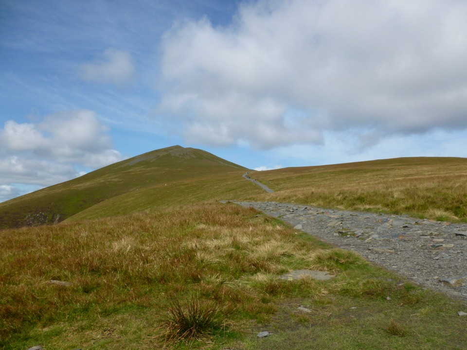 ChallengingSkiddaw via Jenkin Hill9.2 km · 5 hr · 0.4 km awayBroad bridleway climb to a stony 931 m summit above Derwent Water
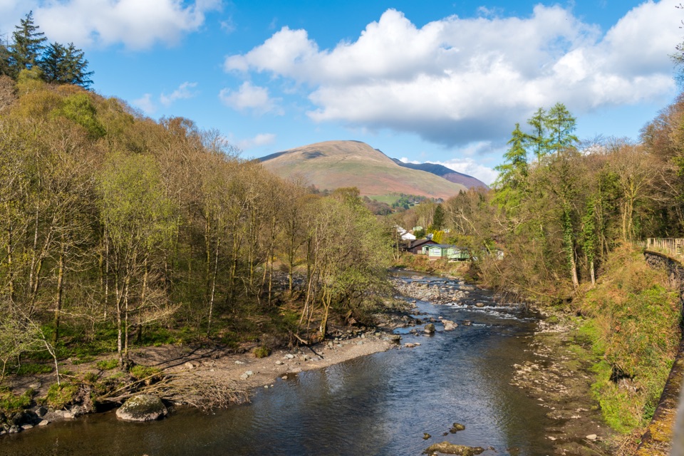 EasyKeswick to Threlkeld Railway Trail5 km · 2.5 hr · 1.9 km awayA gentle old railway line with bridges, river views, and Blencathra.
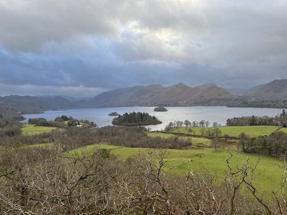 EasyCastle Head Viewpoint Walk4.2 km · 1.3 hr · 2.4 km awaySharp wooded climb to a topograph over Derwentwater, then Friars Crag
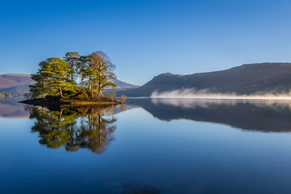 EasyHowrah’s Path, Keswick to Portinscale1.7 km · 1.5 hr · 2.5 km awayLevel riverside link between two villages, with Skiddaw and Catbells views
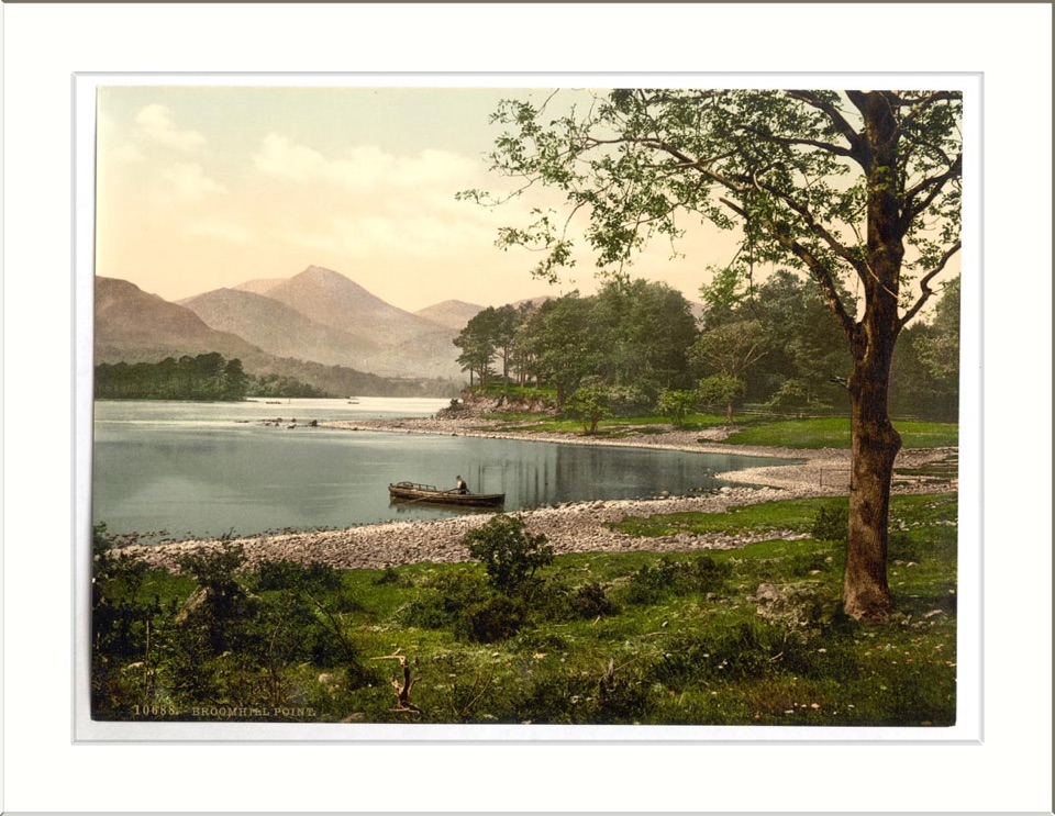 ModerateAccessible Walk to Broomhill Point Viewpoint4.4 km · 1.8 hr · 2.8 km awayDerwent Water views, boardwalks, and a rough final climb
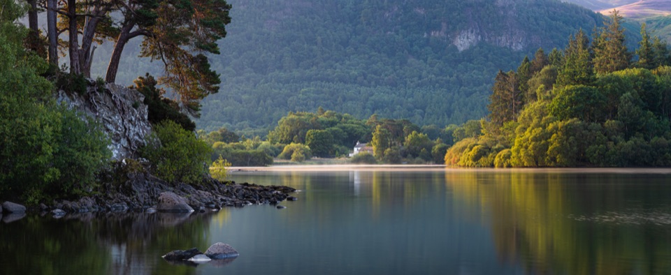 ModerateDerwent Water Circular16.1 km · 5.5 hr · 2.9 km awayTen flat lakeshore miles past jetties, oakwoods and island viewsEasyDerwent Water and Cockshot Wood Accessible Loop2 km · 38 min · 2.9 km awayStile-free lakeshore and woodland loop with Skiddaw and Cat Bells views
 EasyFriar's Crag1.2 km · 30 min · 2.9 km awayAn easy lakeside stroll to Keswick's signature Derwentwater outlook
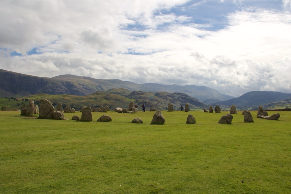 Sight · 1.8 km awayCastlerigg Stone CircleA 4,500-year-old stone ring with a grand mountain backdrop
 Sight · 2.4 km awayKeswickA lively market town framed by Derwentwater and mountain walksSight · 3.5 km awayFriar's CragA level lakeside path to Keswick's classic Derwentwater view
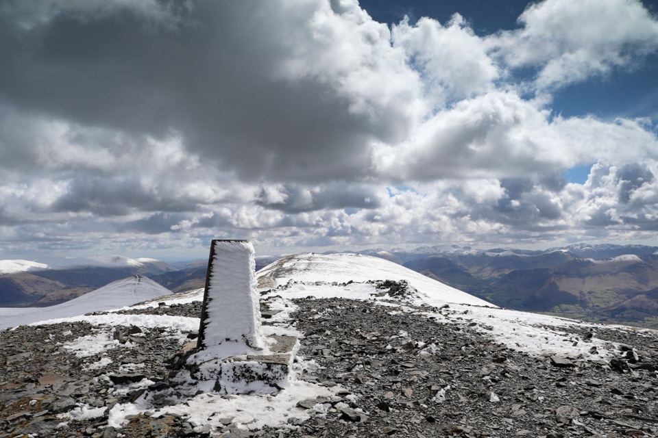 Sight · 4.4 km awaySkiddawA broad, windswept summit with huge views over the northern Lakes
 Sight · 4.8 km awayDerwentwaterA mountain lake with islands, wooded shores, and classic fell views
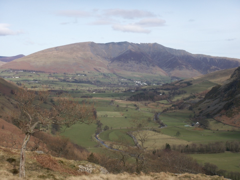 Sight · 4.8 km awayBlencathraTwo famous ridges lead to a broad summit with far-reaching views
 Sight · 5.7 km awayAshness BridgeAn 18th-century packhorse bridge above a rushing Borrowdale beck
 Sight · 6.4 km awaySurprise ViewA cliff-edge panorama over Derwentwater, islands, and Borrowdale
Parkwolf’s Lake District ranking

The audio tour guide for the drive, plus offline maps, trails, and wildlife heatmaps for when the signal drops.





