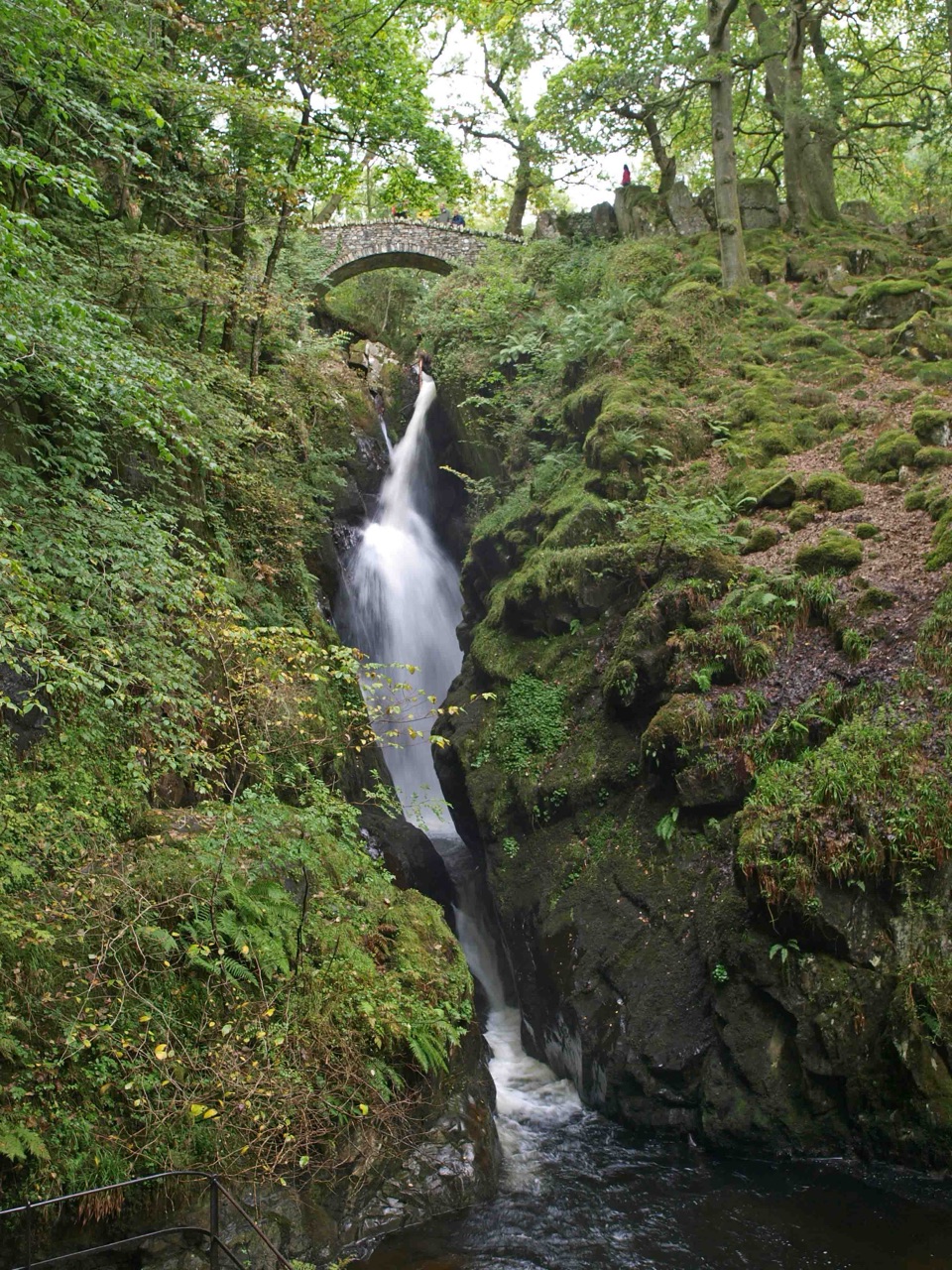
Aira Force Waterfall Walk in Lake District National Park

Lake District National Park, EN

Aira Force Waterfall Walk

Stepped woodland climb to a 65-foot fall, one mile round trip

Photo: Wikimedia Commons
Length
1.6km
Time
1.3hr
Elev. change
72m
Difficulty
Easy
  • Dogs allowed
  • High point 235 m
  • #38 of 265 in Lake District

Hear the audio tour

Aira Force and Gowbarrow

Overview

About Aira Force Waterfall Walk

Why go

  • Aira Force, bridges, and woodland in a short visit
  • Easy to combine with the lakeshore or a longer fell walk

Heads up

  • Many steps and uneven ground for a short route
  • Popular paths can feel busy around the waterfall
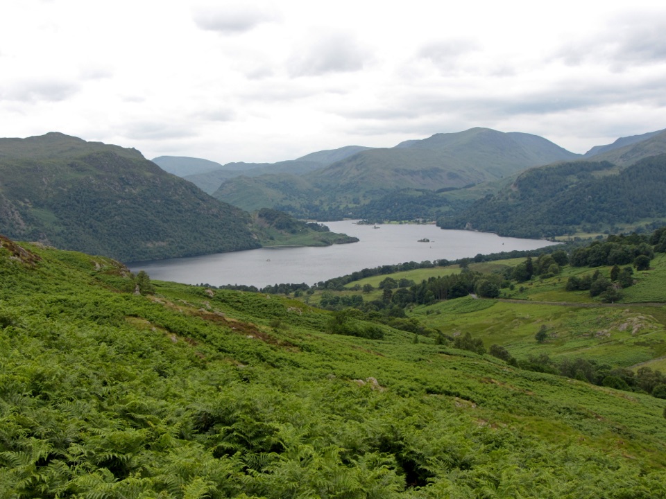
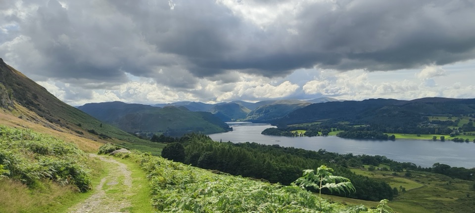
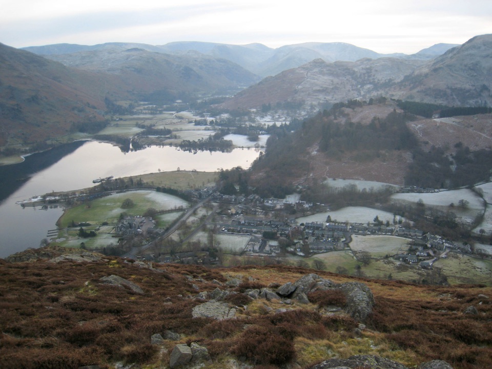
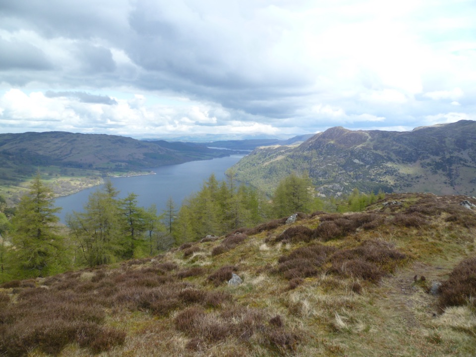
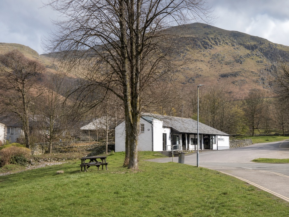
From the car park you pass the wooden Welcome Building and cross the picnic field into the Glade. Keep Aira Beck on your right through the pinetum, with its specimen trees, ferns and mossy rock. The path steepens, opens out to views across the Ullswater valley, and ends at the upper bridge above a 65-foot (20 m) fall dropping into the gorge. That bridge is the turnaround, and it is the reason to come.
Parkwolf’s verdictThe sequence and the payoff

Map & elevation

The route

Loading the Lake District map
Full map
Elevation163–235 m
TrailheadAira Force National Trust car park54.57153, -2.92855
Keep this map with you offline in the Parkwolf app

Plan your hike

Before you go

Parking

Use the signed Aira Force National Trust car park near Watermillock, beside the A592 just beyond the A5091 junction. The walk starts past the wooden Welcome Building and across the picnic field. The main car park has toilets, accessible parking, drinking water, picnic space, and a tea-room.


Best time to go

Rain makes the falls more forceful, so a wet spell is worth chasing. A sunny morning can throw a rainbow into the spray, and early morning or late afternoon are the quietest hours and the best chance of spotting red squirrels in the trees.

Safety

The path narrows beyond the Glade and includes several flights of steps, uneven ground, and steep drops beside the gorge. Surfaces can be slippery after rain, and the waterfall route is not wheelchair or pushchair accessible. Keep dogs on leads around wildlife and livestock.

8 active Lake District alerts

  • ClosureChapel Stile footpath closed for retaining-wall riskPart of Footpath 543030 between Chapel Stile and Baysbrown campsite is closed because a retaining wall beside the path could collapse and material it supports could fall across the footpath.Official details
  • ClosureStanley Ghyll Lower Falls footpath closed for rockfallThe section of Footpath 408037 leading towards Stanley Ghyll Lower Falls is closed because severe rockfall damage has made the path unstable and further rockfall remains a danger.Official details
See all 8 alerts
A park ranger sits on a dash-mounted phone, talking, as Parkwolf’s Tour Guide plays “Army Cutworm Moths: A Grizzly Bear Buffet” on Grand Loop Road below Dunraven Pass in Yellowstone
Parkwolf Tour GuideThe highest, rockiest slopes around here are a summer buffet for grizzly bears.

Lake District Tour Guide

Your drive to Aira Force Waterfall Walk, narrated.

Parkwolf is a GPS audio tour guide for Lake District National Park. As you drive, it chimes in with what’s ahead: hidden gems, upcoming stops, history, geology, and wildlife, right through your car’s speakers.

Recorded for this trailhead

Aira Force and Gowbarrow
0:00 / 1:16
“Up ahead is Aira Force, where a woodland walk brings you to a sixty-five-foot waterfall dropping into a narrow, fern-covered gorge. Stone bridges, mossy rocks and tall specimen trees make the walk part of the attraction.”

Plays as you drive up to this trailhead in the Parkwolf Lake District Tour Guide.

More stories near here in the app

  • Matterdale: A Church Closer to Home
  • Helvellyn Walks from Glenridding
  • Glenridding: Ullswater Shore and Steamers
  • Hallin Fell from Martindale Hause
  • 298 audio storiesacross Lake District’s roads, triggered by GPS as you drive
  • Wildlife heatmapsfor Red Deer, Eurasian Otter, Osprey, and 13 more
  • Works offlinemaps, 265 trails, 89 places, and audio download before you lose signal
  • CarPlay readysimple controls built for the drive
★★★★★
“Fantastic app with many points of information… It’s great to just turn on while you’re driving and it gives you an audio tour of the national Park. We love it!!!!”
JMJamesApp Store review
Download Parkwolf on the App StoreGet Parkwolf on Google Play

4.7 from 8,600+ ratings

Trail guide

Hiking Aira Force Waterfall Walk

The shape of the walkThis is an out-and-back: you climb beside Aira Beck to the upper waterfall bridge, then return…

This is an out-and-back: you climb beside Aira Beck to the upper waterfall bridge, then return the same way, for 1.0 mile round trip. Allow around 1 hour 15 minutes so there is time to stand and watch the water instead of rushing the steps.

Effort and footingShort does not mean gentle.

Short does not mean gentle. The route rises from about 163 m at the car park to roughly 235 m near the falls, and much of that gain arrives as several flights of steps. Beyond the Glade the path narrows and the ground is uneven, and it can be slippery after rain. Wear shoes with proper grip and expect to take the descent slowly.

Gorge exposureThe upper section runs through ground with steep drops into the ravine.

The upper section runs through ground with steep drops into the ravine. It works well as a family nature stop if you are comfortable supervising children on steps and near the edge, and it is worth keeping everyone close together on the busier stretches.

Optional lower bridgeMany visitors also drop down to the lower bridge and viewing platform to look up at the full…

Many visitors also drop down to the lower bridge and viewing platform to look up at the full height of the fall. That short detour sits off the line described here, so take it or skip it as you like; the walk to the upper bridge is a complete trip on its own.

Parking, facilities and dogsStart from the signed National Trust car park beside the A592, just beyond the A5091 junction…

Start from the signed National Trust car park beside the A592, just beyond the A5091 junction near Watermillock, CA11 0JS. It has toilets, accessible parking spaces, drinking water, picnic space and a tea-room. Head for that main car park rather than aiming at the waterfall itself. The waterfall path is not wheelchair or pushchair accessible, though the well-surfaced paths near the car park and the Glade give an easier taste of the woodland. Dogs are welcome but must stay on leads because of wildlife and surrounding livestock, and dog waste should go home with you.
If you want moreIf a mile feels too brief, the Aira Force and Gowbarrow Park Trail continues from the same car…

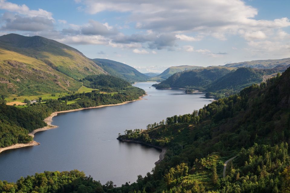
If a mile feels too brief, the Aira Force and Gowbarrow Park Trail continues from the same car park to High Force and the High Cascades, then climbs onto open fell to a summit trig point with wide Ullswater views. It is longer and harder, and a better fit if you came for a proper half-day on the hill.

Wildlife

Wildlife in Lake District

All Lake District wildlife maps

Sighting maps show where each species has been reported across Lake District. Wildlife moves, so no sighting is guaranteed.

Keep exploring

Near Aira Force Waterfall Walk

See it all on the map

Trails that start nearby

Places near the trailhead

Parkwolf’s Lake District ranking

Top-rated trails in Lake District

All 265 trails
  1. 1Scafell Pike via Hollow Stones from WasdaleChallenging · 9 km
  2. 2Helvellyn via Striding Edge and Swirral EdgeChallenging · 12.4 km
  3. 3CatbellsModerate · 6.6 km
  4. 4The Old Man of ConistonChallenging · 9 km
  5. 5Buttermere CircularEasy · 7.6 km
  6. 6The Fairfield HorseshoeChallenging · 17.2 km

Take Parkwolf to Lake District.

The audio tour guide for the drive, plus offline maps, trails, and wildlife heatmaps for when the signal drops.

4.7 from 8,600+ ratings

Download Parkwolf on the App StoreGet Parkwolf on Google Play