Parking
Limited layby beside the minor road near Binsey Lodge, approximate postcode CA7 1HH. The small wooden gate at the end of the layby, opposite the lodge, is the route start. No facilities are available on the route.
Lake District National Park, EN
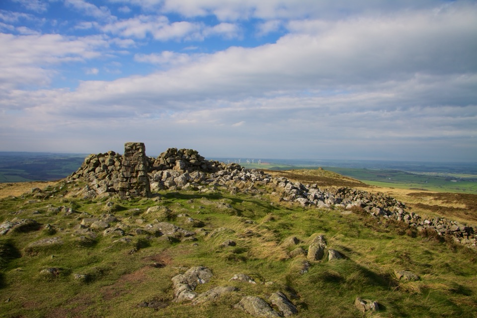
Short grassy climb to a lone trig point with huge northern views
Overview
Binsey sits apart from its neighbours, and that isolation does the work. From the summit you look across to the Northern Fells and the Skiddaw group, down over Bassenthwaite and Over Water, and north to the Solway Firth, Dumfries and Galloway and Scotland. On a clear day the Isle of Man can show on the horizon.
 Parkwolf’s verdictThe payoff
Map & elevation
Plan your hike

The highest, rockiest slopes around here are a summer buffet for grizzly bears.
Lake District Tour Guide
Parkwolf is a GPS audio tour guide for Lake District National Park. As you drive, it chimes in with what’s ahead: hidden gems, upcoming stops, history, geology, and wildlife, right through your car’s speakers.
Recorded for this trailhead
Binsey: A Short Climb with an Open View“You're coming up on the Binsey walk near Binsey Lodge, a good choice if you want a summit without spending half the day getting there.”
Plays as you drive up to this trailhead in the Parkwolf Lake District Tour Guide.
More stories near here in the app
“Fantastic app with many points of information… It’s great to just turn on while you’re driving and it gives you an audio tour of the national Park. We love it!!!!”


Trail guide
An out-and-back summit walk of 1.9 miles / 3.0 km round trip, including the return along the same path. The mapped corridor covers the one way line from the layby to the summit turnaround, about 0.87 miles / 1.40 km. Allow around 1 hour, or 1 to 2 hours if you stop, take photos or hit slower ground.
Easy overall, with about 190 m of ascent rising from roughly 277 m at the road to roughly 439 m at the top. The climb is a steady pull rather than anything steep or technical. Footing is grass throughout, boggy in places, and the stream and lower ground stay soft after rain. The upper path can be wet or muddy. Treat it as an easy fell walk rather than a surfaced stroll, and wear boots you do not mind getting damp.
Parking is a limited layby beside the minor road near Binsey Lodge, approximate postcode CA7 1HH. It holds only a few cars, so arriving early helps. There are no facilities and no water on the route, so bring what you need. Take care on the short road approach and when crossing to the gate.
Dogs are welcome on the public footpath and access route. Keep them under close control or on a short lead around livestock and other walkers, and clean up after them.
This is a quiet, straightforward walk with a strong summit reward for very little distance. It is also over quickly, offers no variety beyond the single up and back line, and the small parking area and lack of facilities mean a bit of planning before you set off.
Wildlife
 81 sightingsRed DeerMost seen around 7 PMSighting map
 13 sightingsEurasian OtterMost seen around 6 AMSighting map
 76 sightingsOspreyMost seen around 8 AMSighting map
 51 sightingsEuropean BadgerMost seen around 8 PMSighting map
 233 sightingsMute SwanMost seen around 6 PMSighting map
 176 sightingsGrey HeronMost seen around 7 AMSighting map
Sighting maps show where each species has been reported across Lake District. Wildlife moves, so no sighting is guaranteed.
Keep exploring
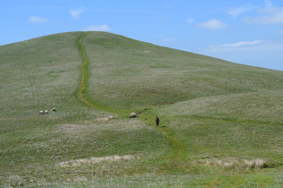 ModerateLonglands, Lowthwaite and Brae Fells7.2 km · 3.3 hr · 3.1 km awayThree quiet grassy northern fells, big Solway views, barely a soul about
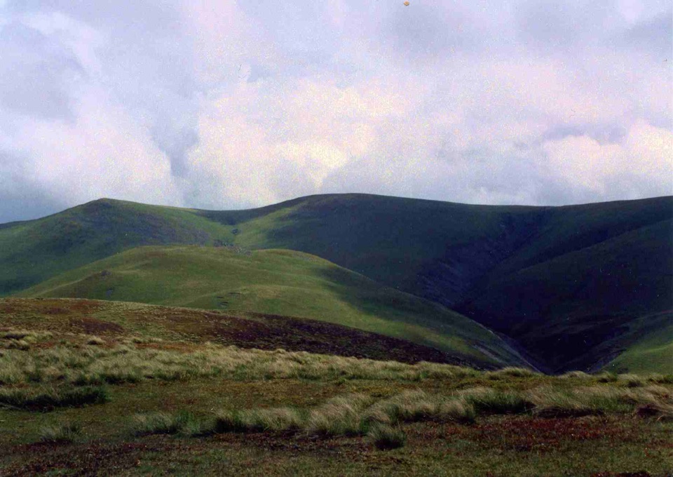 ModerateLittle and Great Sca Fells, Meal Fell and Great Cockup10.9 km · 4.5 hr · 3.1 km awayFour quiet grassy summits, a deep ravine, and Solway Firth views
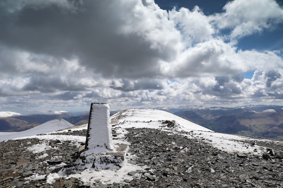 ChallengingSkiddaw via Longside Edge13.4 km · 6 hr · 4.1 km awayWindswept ridge, rough mountain paths, and a hard-earned Skiddaw summit
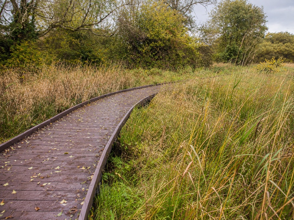 EasyDubwath Silver Meadows and Ouse Bridge1.5 km · 45 min · 5.5 km awayBoardwalk and stone paths loop across fen, meadow and willow carr
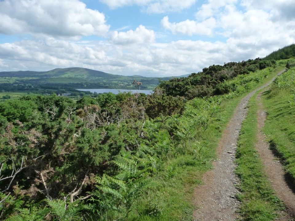 ModerateSale Fell3.2 km · 1.5 hr · 6.6 km awayQuiet two-mile loop with wide Bassenthwaite and Skiddaw views
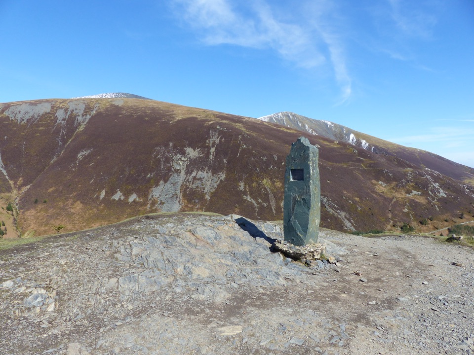 ChallengingDodd Summit Trail6.4 km · 3 hr · 6.9 km awaySteep forest climb to a 502 m fell summit with lake-and-coast views
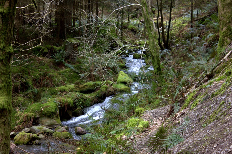 ModerateDouglas Fir Trail1.6 km · 45 min · 6.9 km awayA mile among towering Douglas firs on Dodd Wood's lower slopes
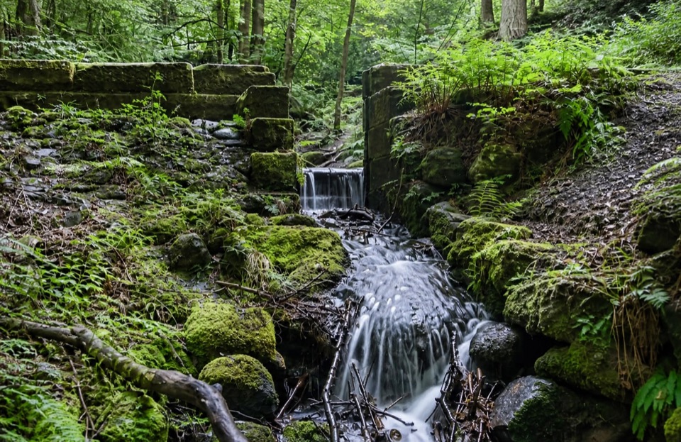 ModerateSandbed Gill Trail3.2 km · 48 min · 6.9 km awayMossy gill crossing and Bassenthwaite views on a short woodland loop
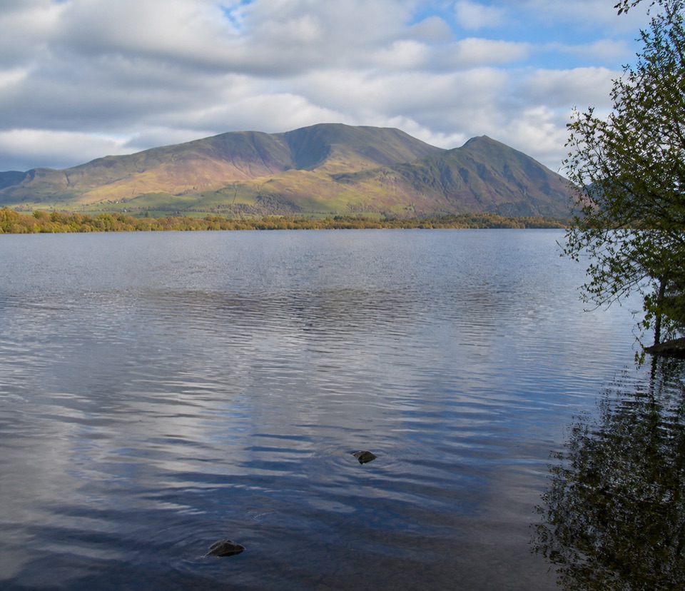 Sight · 6.1 km awayBassenthwaite LakeA quiet wildlife-rich lake beneath Skiddaw
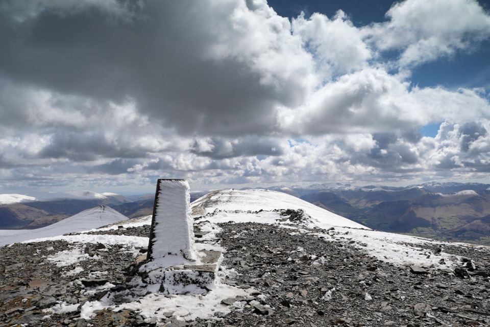 Sight · 6.5 km awaySkiddawA broad, windswept summit with huge views over the northern Lakes
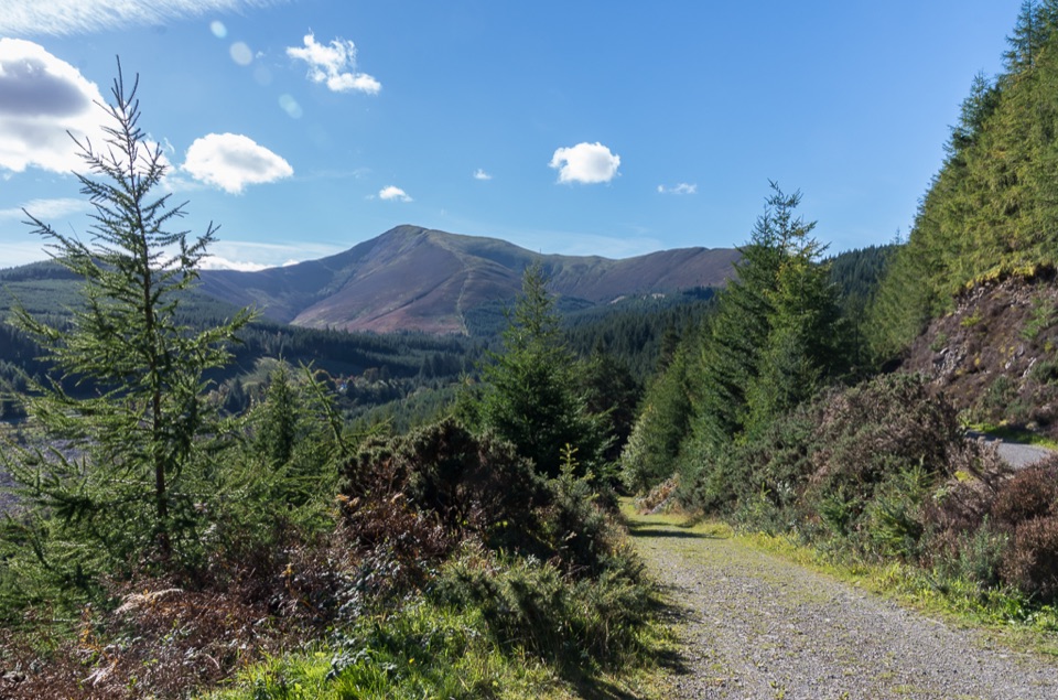 Sight · 10.9 km awayWhinlatter ForestMountain trails, big fell views, and family paths in a working forest
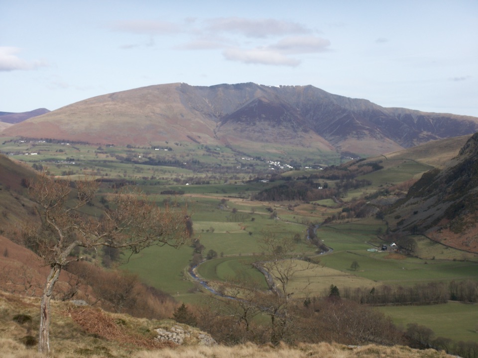 Sight · 11.5 km awayBlencathraTwo famous ridges lead to a broad summit with far-reaching views
 Sight · 12 km awayKeswickA lively market town framed by Derwentwater and mountain walks
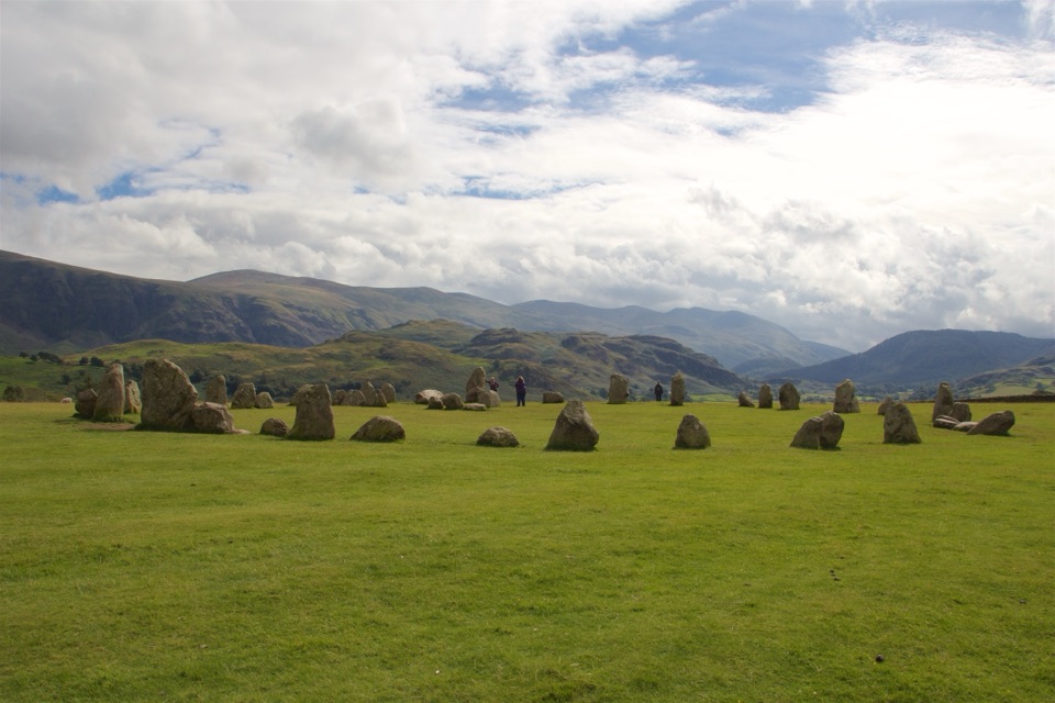 Sight · 12.7 km awayCastlerigg Stone CircleA 4,500-year-old stone ring with a grand mountain backdrop
 Sight · 13.2 km awayFriar's CragA level lakeside path to Keswick's classic Derwentwater view
 Sight · 14.3 km awayDerwentwaterA mountain lake with islands, wooded shores, and classic fell views
Parkwolf’s Lake District ranking
The audio tour guide for the drive, plus offline maps, trails, and wildlife heatmaps for when the signal drops.





