Parking
Use the tiny informal pull-in beside Longlands Beck Bridge near Longlands, around NY265358/NY266358. It holds roughly four cars. Start through the gate by the bridge and keep the road, gate, and nearby access clear.
Lake District National Park, EN
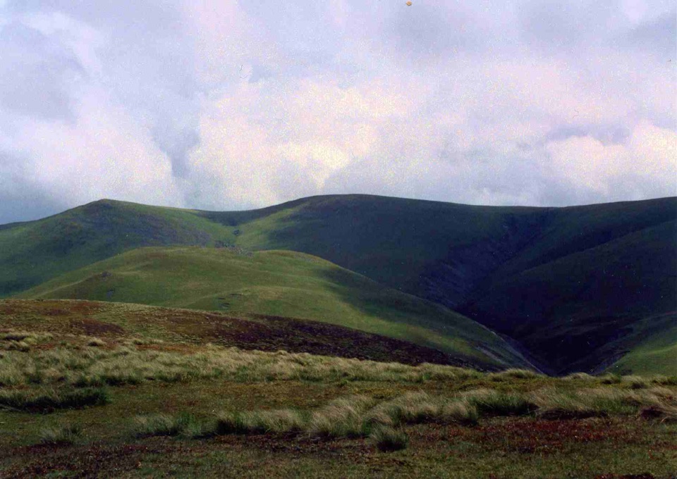
Four quiet grassy summits, a deep ravine, and Solway Firth views
Overview
Map & elevation
Plan your hike

The highest, rockiest slopes around here are a summer buffet for grizzly bears.
Lake District Tour Guide
Parkwolf is a GPS audio tour guide for Lake District National Park. As you drive, it chimes in with what’s ahead: hidden gems, upcoming stops, history, geology, and wildlife, right through your car’s speakers.
Recorded for this trailhead
Longlands: Quiet Summits and Trusmadoor“You're approaching Longlands Bridge, a starting point for walks into the quiet northern fells. I'd choose the longer circuit here if you enjoy linking grassy summits and have time for a good half-day walk.”
Plays as you drive up to this trailhead in the Parkwolf Lake District Tour Guide.
More stories near here in the app
“Fantastic app with many points of information… It’s great to just turn on while you’re driving and it gives you an audio tour of the national Park. We love it!!!!”


Trail guide
This is a circular loop of about 6.8 miles starting from the informal pull-in beside Longlands Beck Bridge near Longlands, on the northern edge of the Northern Fells. You go through the gate and follow the old road along the Cumbria Way line, then branch off beside Charleton Gill, a deep cleft that gives the early part of the walk some drama. From there it climbs to Little Sca Fell and Great Sca Fell, drops over Meal Fell, descends into the pass of Trusmadoor, and takes a short out-and-back spur up Great Cockup before returning back through Trusmadoor, crossing the River Ellen area and picking up the track home to Longlands.
Call it a 6 out of 10: moderate to moderately hard. Around 588 m of ascent, with the low point near 217 m and the high ground topping out around 627 m on the Sca Fells. The climbs are steep in places and mostly grassy rather than rocky, so there is no sustained scrambling and no exposed ridge to worry about. Most people finish in around 4.5 hours, though strong walkers moving quickly have done it in a little over three. Shorter two-summit versions of this ground are logged at nearer 485 m of ascent if you want to trim it.
Underfoot it is grass and moss with very little rough stone, which sounds pleasant and often is, but it also means:
Navigation is the real difficulty here. In poor visibility the broad grassy tops and indistinct paths make it easy to drift off line, so bring a map and compass and know how to use them. Water flows in the gills and becks, but treat it as scenery rather than a reliable drink.
The payoff is space. Views run north toward the Solway Firth and out across the Northern Fells, and the whole circuit feels open and broad rather than hemmed in. Little Sca Fell has a substantial cairn and a sunken windshelter, Great Sca Fell is a quieter, plainer top, and Meal Fell has several small tops, a couple of tarns and muddy puddles, and a circular windshelter worth ducking into if the wind is up. Trusmadoor is the standout landform, a distinct ravine and pass cutting between the fells. From Great Cockup you look toward Skiddaw, Binsey, Longlands Fell, Meal Fell and the Sca Fells.
Parking is the biggest practical drawback: informal space beside Longlands Beck Bridge (around NY265358 / NY266358) for roughly four cars. Arrive early or have a plan B. The route follows public footpaths and bridleways plus open access fell. Dogs are legally allowed, but keep them close and under control, follow the seasonal short-lead rules that apply on access land, and respect any livestock restrictions you come across.
Nearby Binsey is a shorter, more straightforward summit if you want a smaller day or the forecast is dubious. This loop is the bigger, more remote choice, linking four named tops with a more varied sequence of climbs, passes and descents.
Wildlife
 81 sightingsRed DeerMost seen around 7 PMSighting map
 13 sightingsEurasian OtterMost seen around 6 AMSighting map
 76 sightingsOspreyMost seen around 8 AMSighting map
 51 sightingsEuropean BadgerMost seen around 8 PMSighting map
 233 sightingsMute SwanMost seen around 6 PMSighting map
 176 sightingsGrey HeronMost seen around 7 AMSighting map
Sighting maps show where each species has been reported across Lake District. Wildlife moves, so no sighting is guaranteed.
Keep exploring
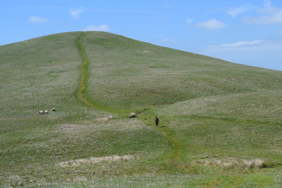 ModerateLonglands, Lowthwaite and Brae Fells7.2 km · 3.3 hr · At the trailheadThree quiet grassy northern fells, big Solway views, barely a soul about
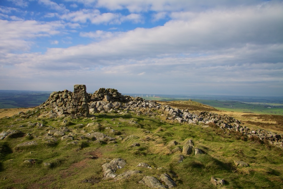 EasyBinsey3.1 km · 1 hr · 3.1 km awayShort grassy climb to a lone trig point with huge northern views
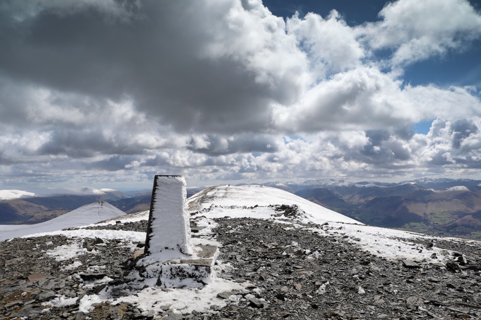 ChallengingSkiddaw via Longside Edge13.4 km · 6 hr · 5.7 km awayWindswept ridge, rough mountain paths, and a hard-earned Skiddaw summit
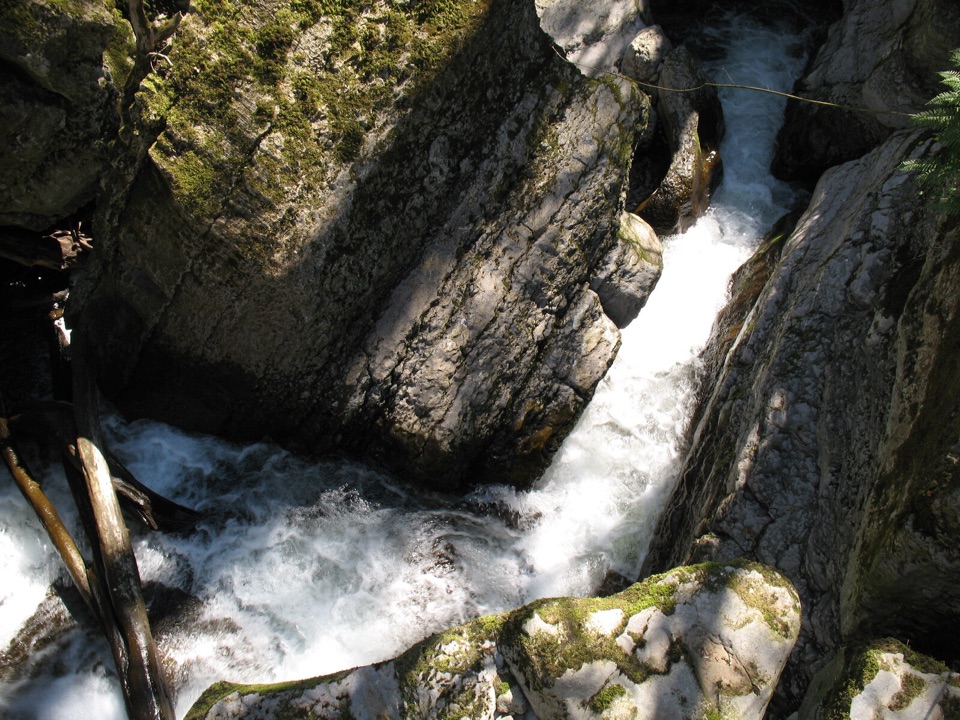 EasyThe Howk, Caldbeck1 km · 30 min · 7 km awayA tiny riverside walk to a ruined mill and limestone gorge
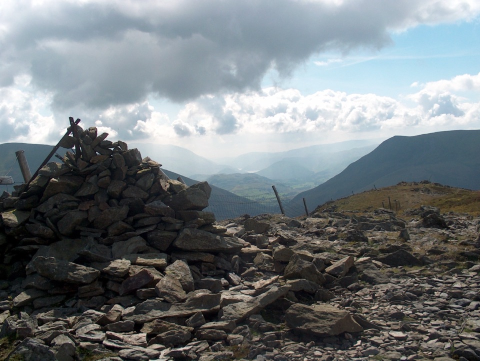 ChallengingGreat Calva and Knott from Mosedale11.9 km · 4.5 hr · 7.2 km awayBoggy, empty moorland behind Skiddaw with two steep, honest fell climbs
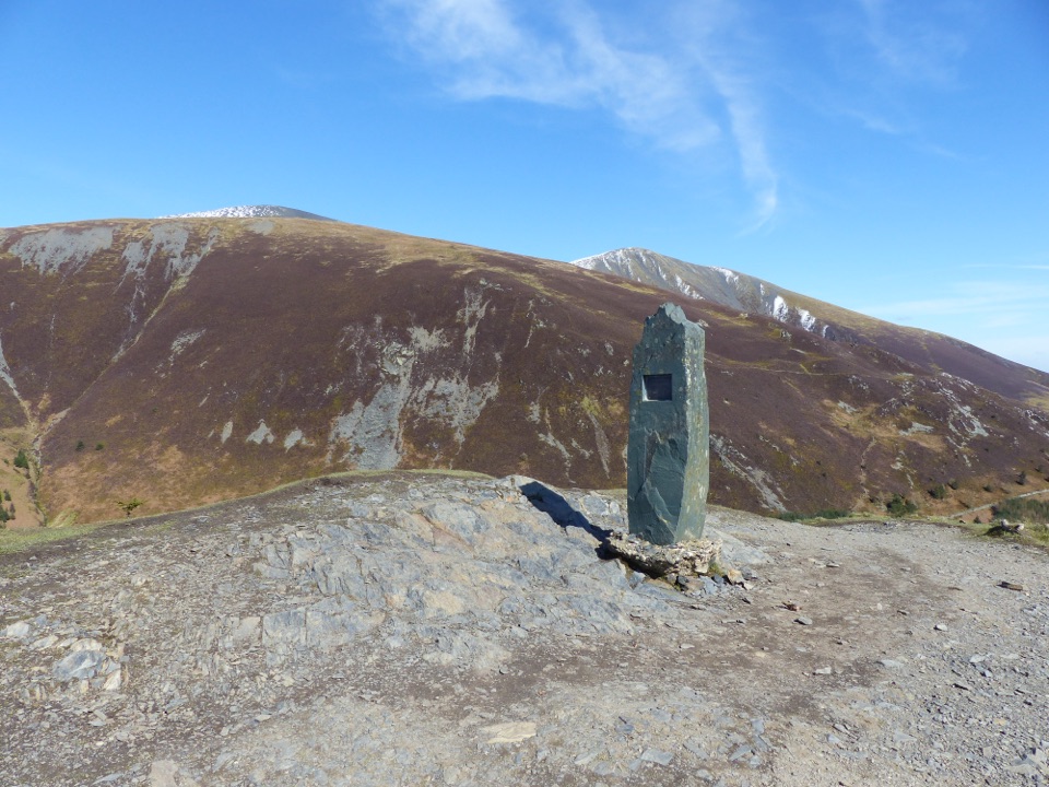 ChallengingDodd Summit Trail6.4 km · 3 hr · 8.3 km awaySteep forest climb to a 502 m fell summit with lake-and-coast views
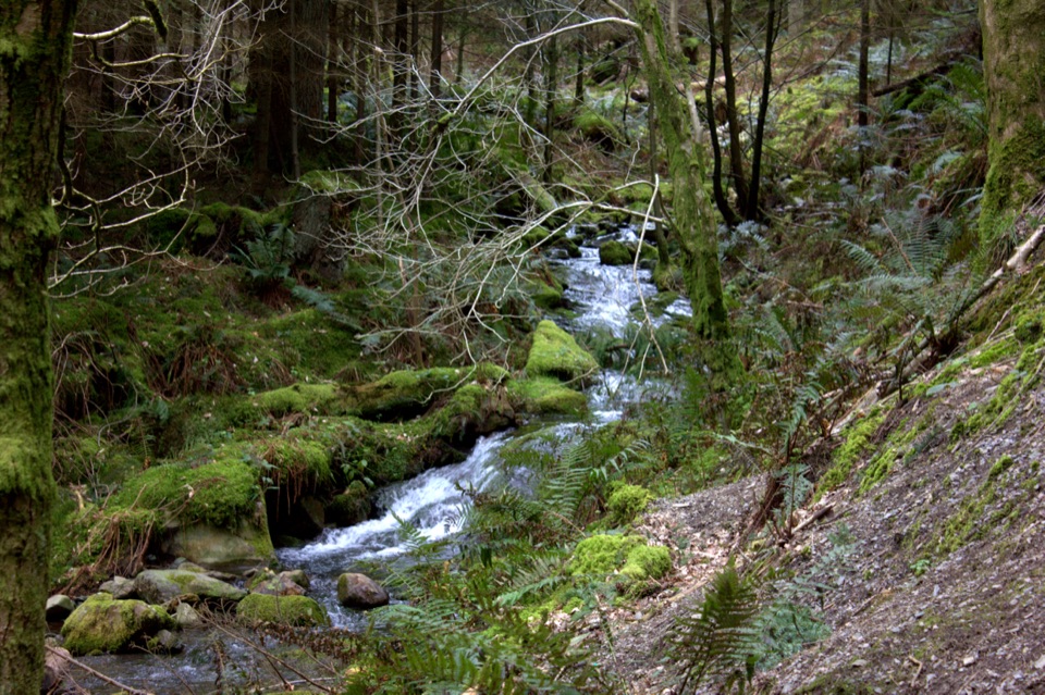 ModerateDouglas Fir Trail1.6 km · 45 min · 8.3 km awayA mile among towering Douglas firs on Dodd Wood's lower slopes
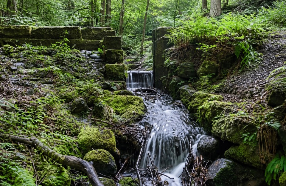 ModerateSandbed Gill Trail3.2 km · 48 min · 8.3 km awayMossy gill crossing and Bassenthwaite views on a short woodland loop
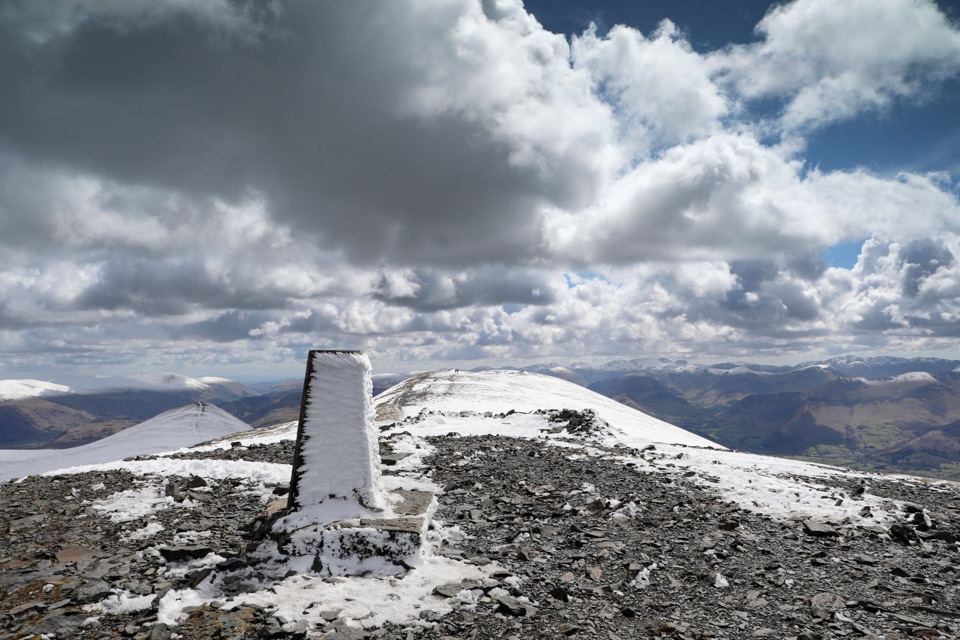 Sight · 6.8 km awaySkiddawA broad, windswept summit with huge views over the northern Lakes
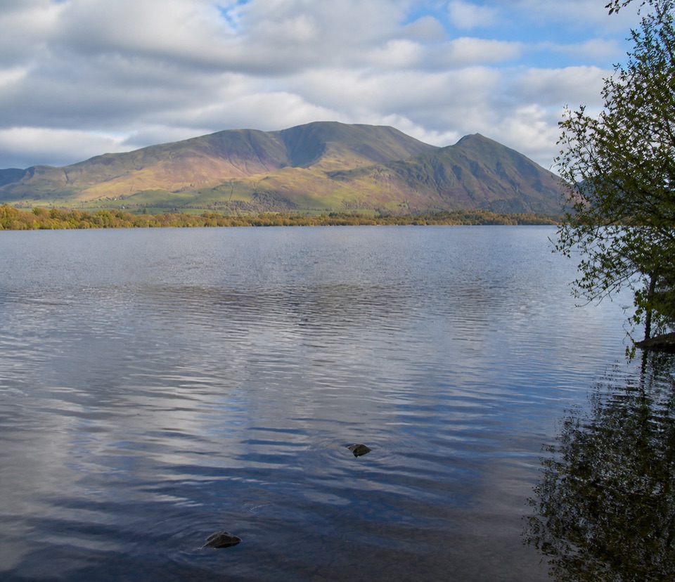 Sight · 8.2 km awayBassenthwaite LakeA quiet wildlife-rich lake beneath Skiddaw
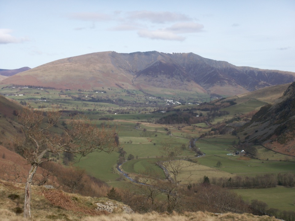 Sight · 9.9 km awayBlencathraTwo famous ridges lead to a broad summit with far-reaching views
 Sight · 12.4 km awayKeswickA lively market town framed by Derwentwater and mountain walks
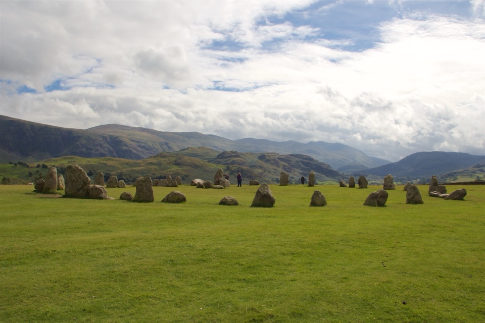 Sight · 12.4 km awayCastlerigg Stone CircleA 4,500-year-old stone ring with a grand mountain backdrop
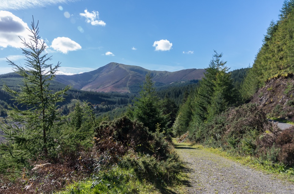 Sight · 12.7 km awayWhinlatter ForestMountain trails, big fell views, and family paths in a working forest
 Sight · 13.6 km awayFriar's CragA level lakeside path to Keswick's classic Derwentwater view
 Sight · 14.8 km awayDerwentwaterA mountain lake with islands, wooded shores, and classic fell views
Parkwolf’s Lake District ranking

The audio tour guide for the drive, plus offline maps, trails, and wildlife heatmaps for when the signal drops.





