Parking
Start at Bogle Crag car park on the Grizedale Forest road. This is the trail access, separate from the main visitor-centre car park.
Lake District National Park, EN
Rooty climbs, quiet sculptures, one clear view over the Rusland Valley
Overview
Map & elevation
Plan your hike

The highest, rockiest slopes around here are a summer buffet for grizzly bears.
Lake District Tour Guide
Parkwolf is a GPS audio tour guide for Lake District National Park. As you drive, it chimes in with what’s ahead: hidden gems, upcoming stops, history, geology, and wildlife, right through your car’s speakers.
Recorded for this trailhead
Bogle Crag: The Rusland Valley Outlook“Bogle Crag is coming up, with a quiet woodland loop that opens out to a view down the Rusland Valley. The long route is three miles, so allow an hour and a half to two and a half hours to get around.”
Plays as you drive up to this trailhead in the Parkwolf Lake District Tour Guide.
More stories near here in the app
“Fantastic app with many points of information… It’s great to just turn on while you’re driving and it gives you an audio tour of the national Park. We love it!!!!”


Trail guide
This is the long closed loop, 3 miles (5 km), starting and finishing at Bogle Crag car park, which is separate from the main visitor centre car park. Most people take 1.5 to 2.5 hours.
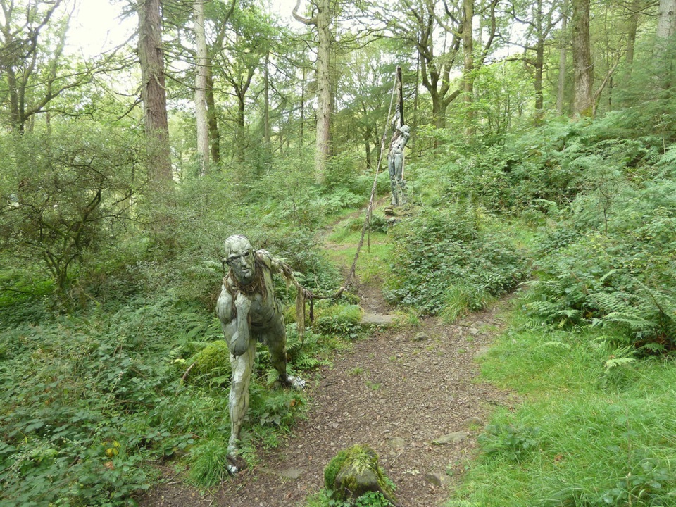
You cross Bogle Bridge early on, then climb through woodland on a mix of forest tracks and narrower paths. Woodland sculptures appear along the way. The high point is an outlook south over the Rusland Valley, after which the trail descends back to the car park.
Rated moderate. Expect exposed roots underfoot, ground that turns wet or muddy after rain, and a steeper descent to close the loop. Boots with grip make the last section far more comfortable.
The walk is mostly enclosed. Dense woodland limits what you can see for long stretches, so the Rusland Valley outlook does the heavy lifting for views. The rest is about the trees, the sculptures and the quiet.
Dogs are allowed at Grizedale Forest. No off-lead rule specific to this loop is confirmed, so use your own judgement on the narrower paths and the descent.
Views are limited outside the single outlook, and some sculptures show wear or damage. Note too that a shorter variant shares the same pink markings, so check which one you are following. If you want a broader high viewpoint and do not mind more effort, the Carron Crag Trail nearby is more strenuous.
Wildlife
 81 sightingsRed DeerMost seen around 7 PMSighting map
 13 sightingsEurasian OtterMost seen around 6 AMSighting map
 76 sightingsOspreyMost seen around 8 AMSighting map
 51 sightingsEuropean BadgerMost seen around 8 PMSighting map
 233 sightingsMute SwanMost seen around 6 PMSighting map
 176 sightingsGrey HeronMost seen around 7 AMSighting map
Sighting maps show where each species has been reported across Lake District. Wildlife moves, so no sighting is guaranteed.
Keep exploring
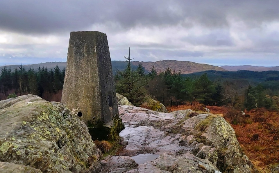 ModerateCarron Crag Trail5 km · 3 hr · 0.9 km awaySteep forest climb to a rocky trig point with wide fell views
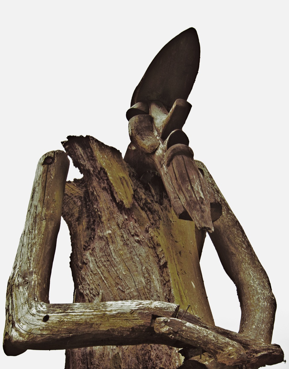 ChallengingSilurian Way17.7 km · 6 hr · 0.9 km awayHard forest loop with sculptures, climbs, and open views
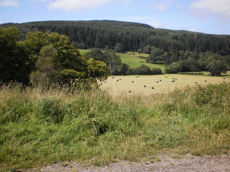 EasyRidding Wood Trail1.6 km · 45 min · 1.1 km awayA gentle tarmac loop through oak woodland and sculpture-lined forest
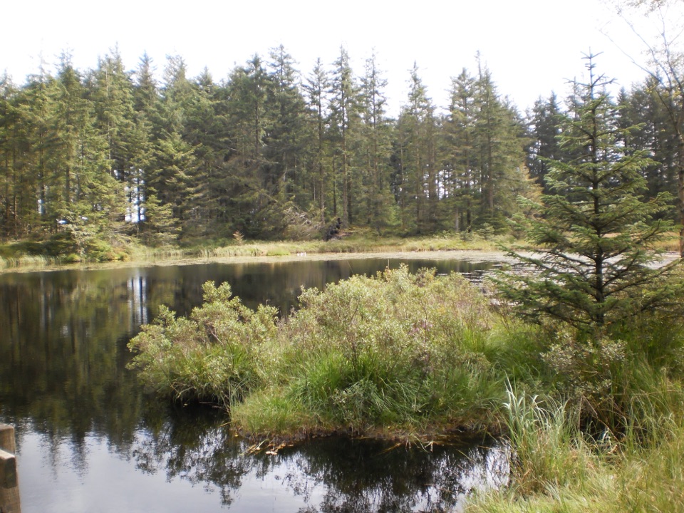 ModerateGrizedale Tarn Trail7.2 km · 2 hr · 1.2 km awayTurquoise markers to the forest's only natural tarn and Mark's Bridge
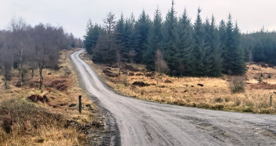 ModerateGrizedale West Multi-user Accessible Trail10.5 km · 3.5 hr · 1.2 km awayForest tracks and bridleways to a waterfall, sculpture and fell views
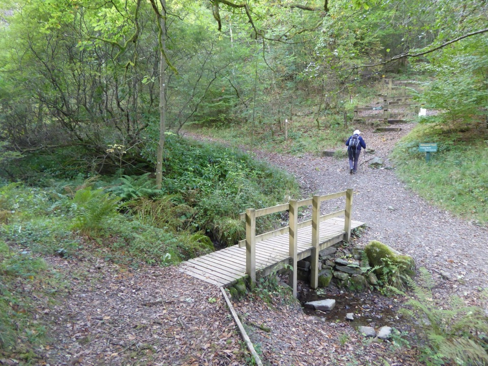 EasyMillwood Trail (Short Loop)1.8 km · 1 hr · 1.2 km awayA one-hour woodland circuit past old trees, sculptures and a footbridge
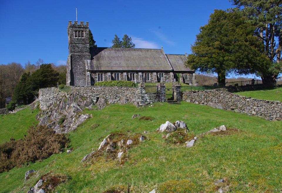 ModerateSatterthwaite and Rusland9.6 km · 3.5 hr · 2.1 km awayForges, ancient woodland and a hilltop church on a rolling forest loop
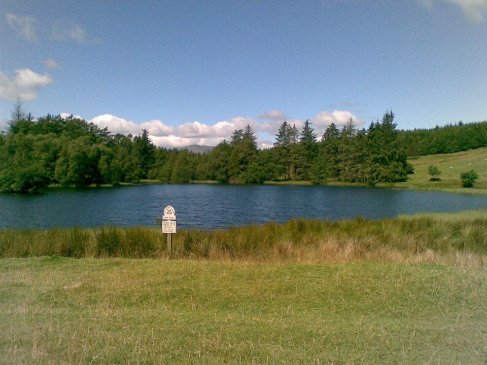 EasyBeatrix Potter's Moss Eccles Tarn Walk4 km · 1.3 hr · 4 km awayA short uphill loop to Beatrix Potter's favourite lily-covered tarn
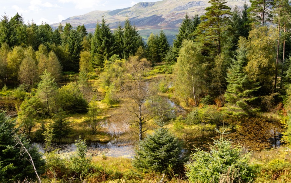 Sight · 1.2 km awayGrizedale ForestSculptures, trails, and mountain views fill this working forest
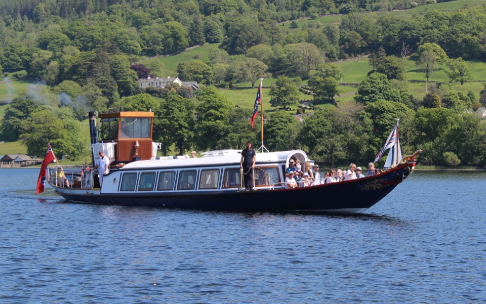 Sight · 3.6 km awayConiston WaterA deep lake of boats, stories, and the Old Man's reflection
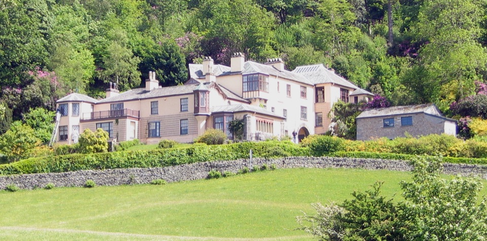 Sight · 3.6 km awayBrantwoodRuskin's house, winding gardens, and a big Coniston Water view
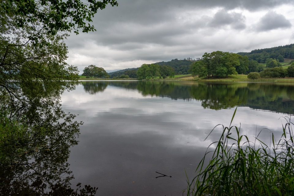 Sight · 3.9 km awayEsthwaite WaterA quiet lake for fell reflections, wildlife, and slow waterside walks
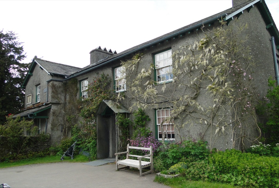 Sight · 4 km awayHill TopStep inside Beatrix Potter's farmhouse and the stories it inspired
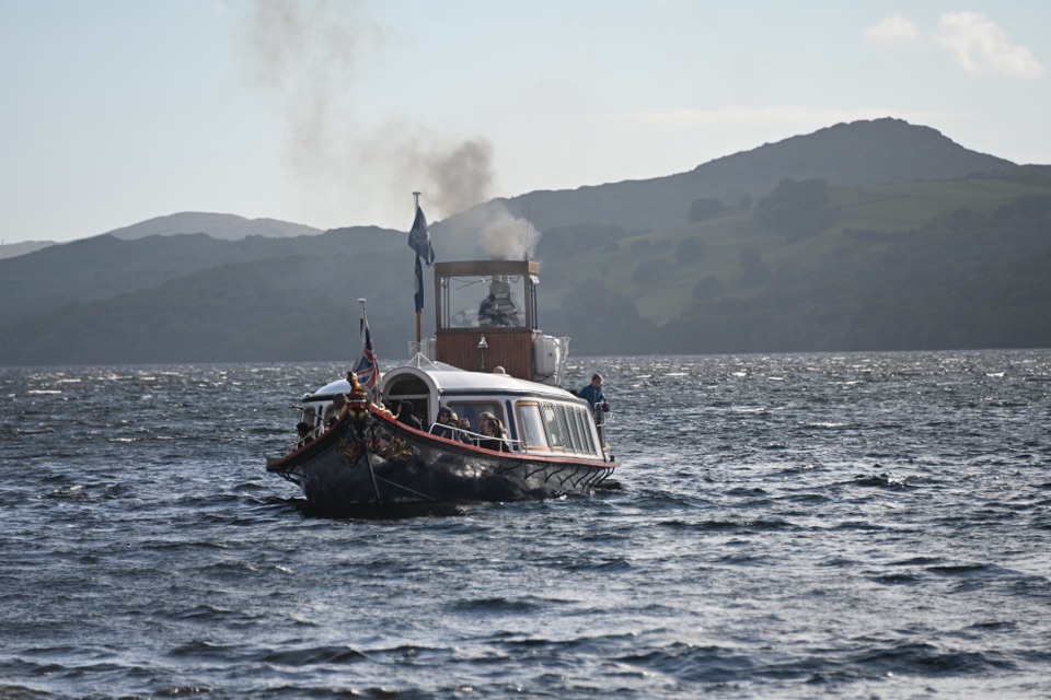 Sight · 4.7 km awaySteam Yacht GondolaA Victorian steam yacht gliding beneath Coniston's fells
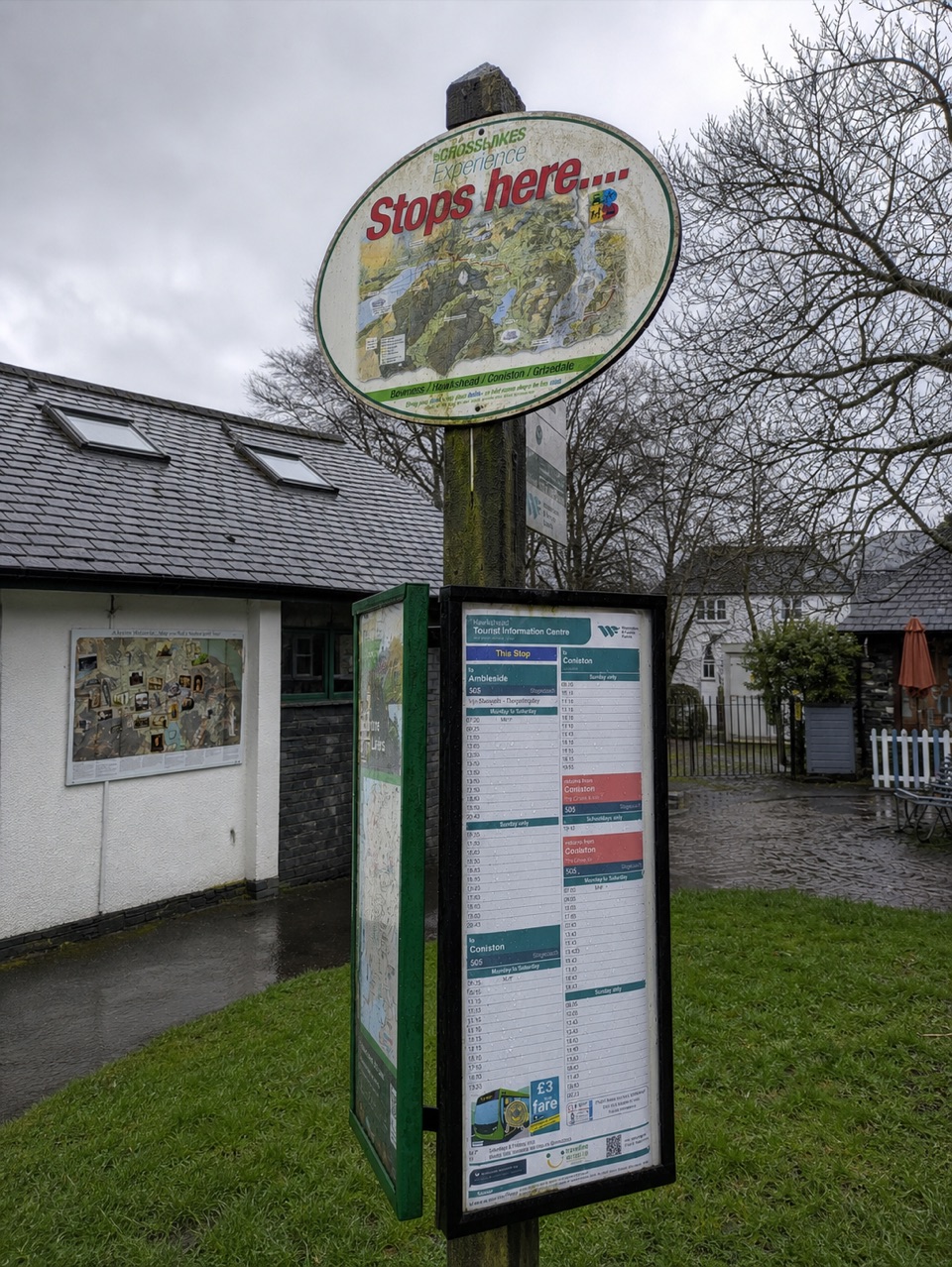 Visitor center · 5 km awayHawkshead Information CentreYour base for Hawkshead walks, bikes, and onward routes
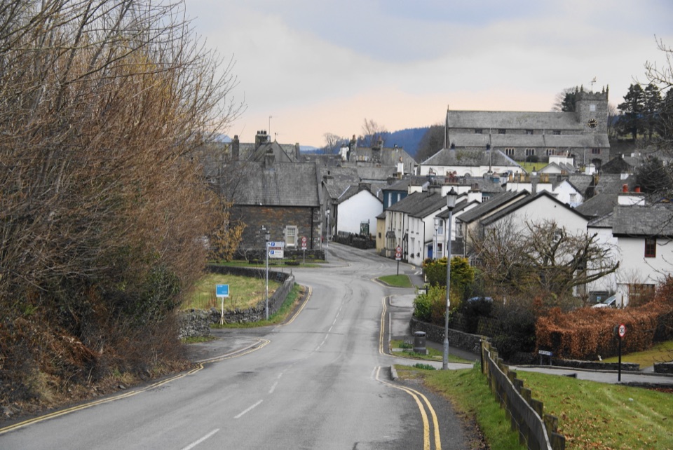 Sight · 5.1 km awayHawksheadCobbled lanes, white cottages, and a church above old market squares
Parkwolf’s Lake District ranking

The audio tour guide for the drive, plus offline maps, trails, and wildlife heatmaps for when the signal drops.





