Parking
Use the Grizedale Forest Visitor Centre car parks, the signed access for the trail. The route itself has no separate parking or facilities.
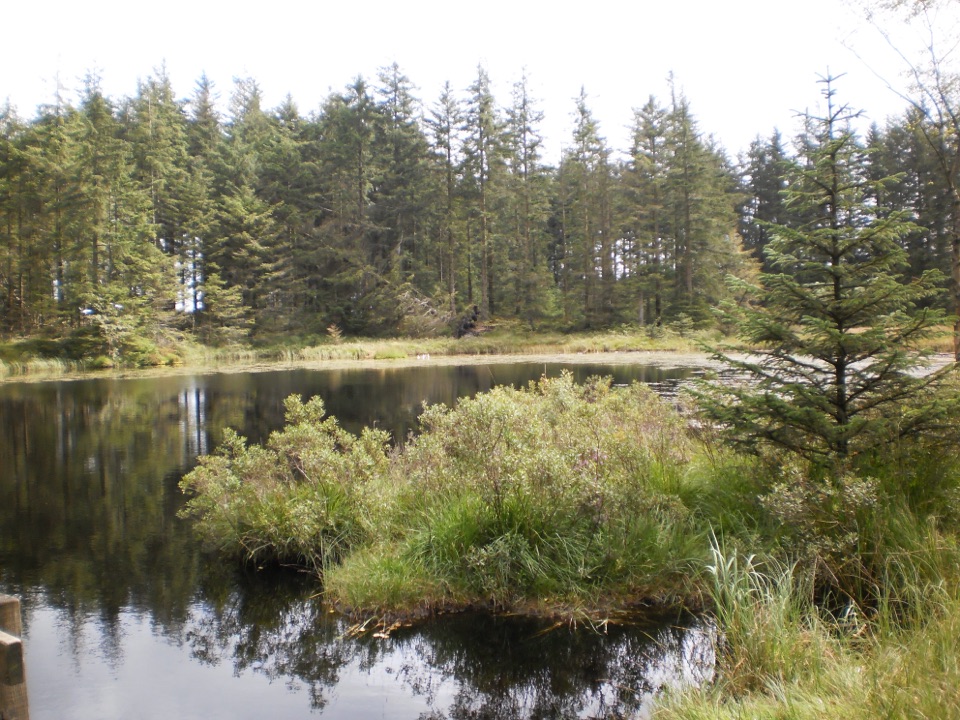
Lake District National Park, EN
Turquoise markers to the forest's only natural tarn and Mark's Bridge
Overview
Map & elevation
Plan your hike

The highest, rockiest slopes around here are a summer buffet for grizzly bears.
Lake District Tour Guide
Parkwolf is a GPS audio tour guide for Lake District National Park. As you drive, it chimes in with what’s ahead: hidden gems, upcoming stops, history, geology, and wildlife, right through your car’s speakers.
Recorded for this trailhead
Grizedale Forest: Sculptures and Carron Crag“You're nearing Grizedale Forest's visitor centre, where you can head into the woods to discover sculptures tucked among the trees.”
Plays as you drive up to this trailhead in the Parkwolf Lake District Tour Guide.
More stories near here in the app
“Fantastic app with many points of information… It’s great to just turn on while you’re driving and it gives you an audio tour of the national Park. We love it!!!!”


Trail guide
This is a circular loop that returns you to its starting point at the Grizedale Forest Visitor Centre. The official figure is 7 km / 4.5 miles for the full loop, graded Moderate, and about 2 hours is typical at a normal walking pace.
Follow the turquoise markers from the Visitor Centre and the numbered posts do most of the navigation for you.
The grade is fair. The route rises from about 107 m at the Visitor Centre to roughly 238 m on the higher eastern side before dropping back down again, and the climbing is spread out rather than dumped into one wall. Expect a mix of forest road and genuine footpath, which means firm gravel in places and softer, rootier, muddier ground in others. Boots or trail shoes with grip, not trainers. There is no real exposure and you are in trees for most of the way, so this holds up better on a grey or breezy day than an open fell route would.
The attraction here is woodland texture, working forest structure, and a quiet natural tarn that feels earned after the climb. Long views over the Lakes are not part of this walk, so if that is what you are after, pick an open fell instead. Come for the trees, the tarn, the hall remnants and the bridge, and it delivers.
Four dependable subjects: the tarn, the old hall remnants, Mark's Bridge, and the woodland itself. Morning or late in the day gives you low light angling through the trunks and a calmer water surface, which is usually the difference between a decent tarn shot and a flat one. Bring something that handles low light under canopy; forest interiors are darker than they look.
Dogs are welcome in the forest, and the expectation is simple: keep yours under control the whole way round. Around the Visitor Centre and the car parks, where there are vehicles and a lot of other people, a lead is the sensible call even if nobody is asking for one.
Start from the Grizedale Forest Visitor Centre, which is the primary access point and where the car parks are. No route-specific permit applies. Plan on carrying your own water and snacks for the loop itself rather than assuming anything is available out on the trail. If 7 km feels like too much, the Ridding Wood Trail section near the centre is a far shorter alternative from the same starting point.
Wildlife
 81 sightingsRed DeerMost seen around 7 PMSighting map
 13 sightingsEurasian OtterMost seen around 6 AMSighting map
 76 sightingsOspreyMost seen around 8 AMSighting map
 51 sightingsEuropean BadgerMost seen around 8 PMSighting map
 233 sightingsMute SwanMost seen around 6 PMSighting map
 176 sightingsGrey HeronMost seen around 7 AMSighting map
Sighting maps show where each species has been reported across Lake District. Wildlife moves, so no sighting is guaranteed.
Keep exploring
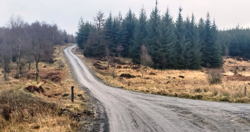 ModerateGrizedale West Multi-user Accessible Trail10.5 km · 3.5 hr · At the trailheadForest tracks and bridleways to a waterfall, sculpture and fell views
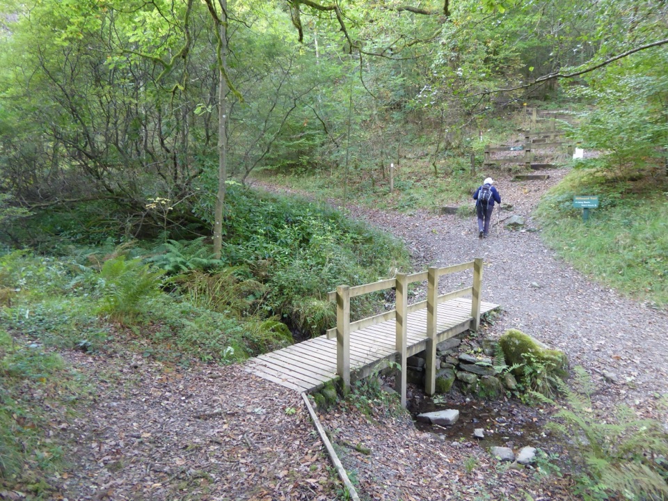 EasyMillwood Trail (Short Loop)1.8 km · 1 hr · 0.1 km awayA one-hour woodland circuit past old trees, sculptures and a footbridge
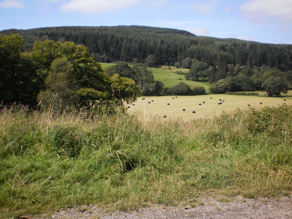 EasyRidding Wood Trail1.6 km · 45 min · 0.1 km awayA gentle tarmac loop through oak woodland and sculpture-lined forest
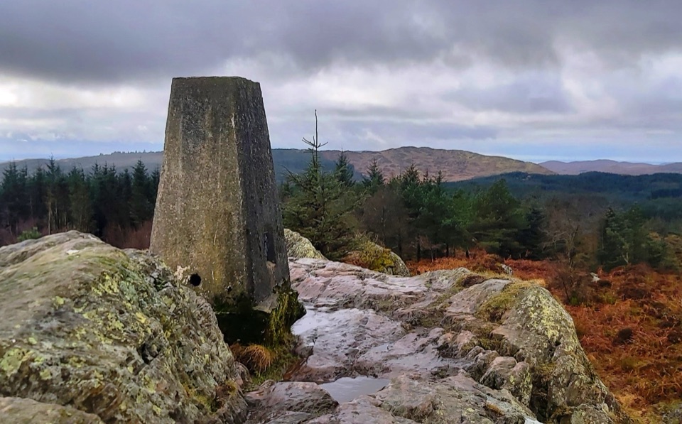 ModerateCarron Crag Trail5 km · 3 hr · 0.2 km awaySteep forest climb to a rocky trig point with wide fell views
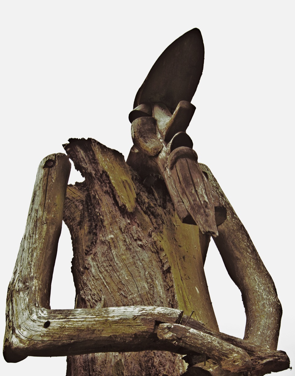 ChallengingSilurian Way17.7 km · 6 hr · 0.2 km awayHard forest loop with sculptures, climbs, and open views
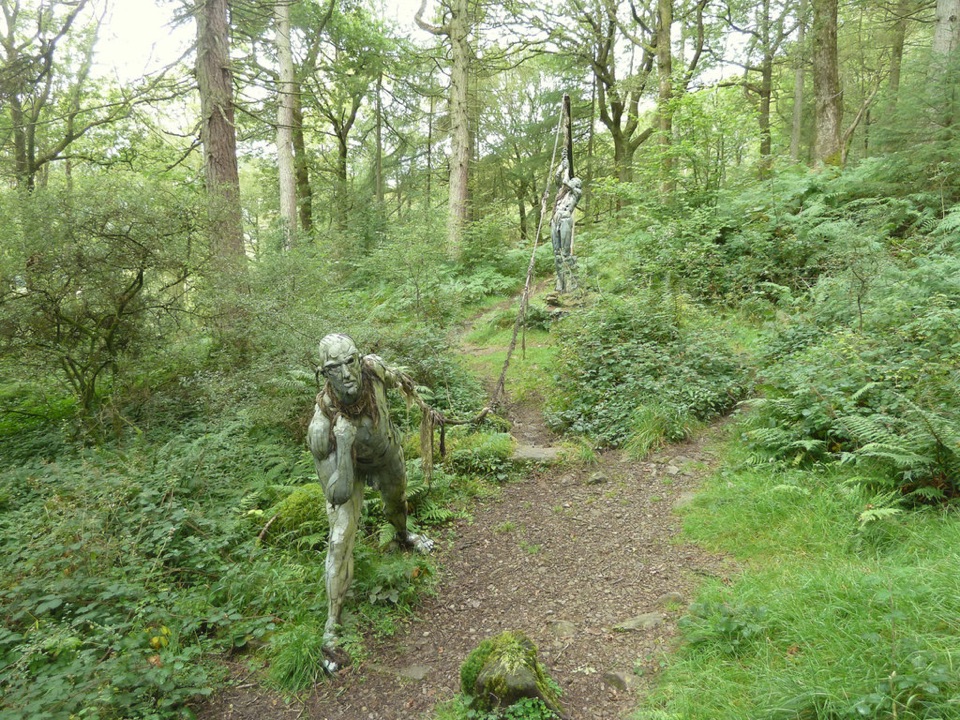 ModerateBogle Crag Trail (Long Loop)4.8 km · 2 hr · 1.2 km awayRooty climbs, quiet sculptures, one clear view over the Rusland Valley
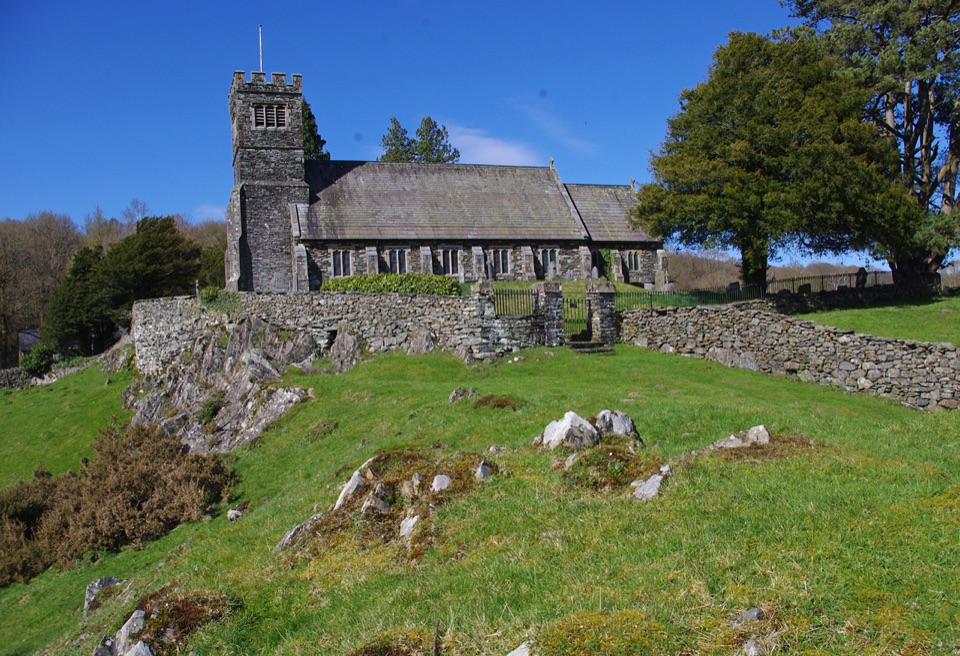 ModerateSatterthwaite and Rusland9.6 km · 3.5 hr · 3.2 km awayForges, ancient woodland and a hilltop church on a rolling forest loop
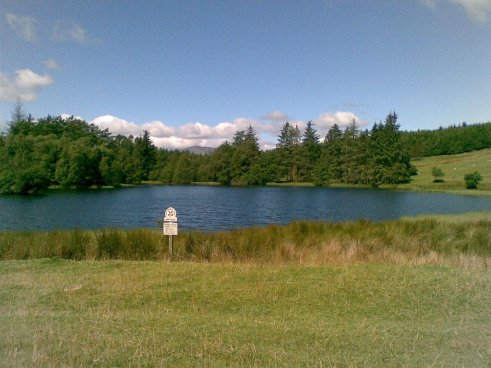 EasyBeatrix Potter's Moss Eccles Tarn Walk4 km · 1.3 hr · 3.6 km awayA short uphill loop to Beatrix Potter's favourite lily-covered tarn
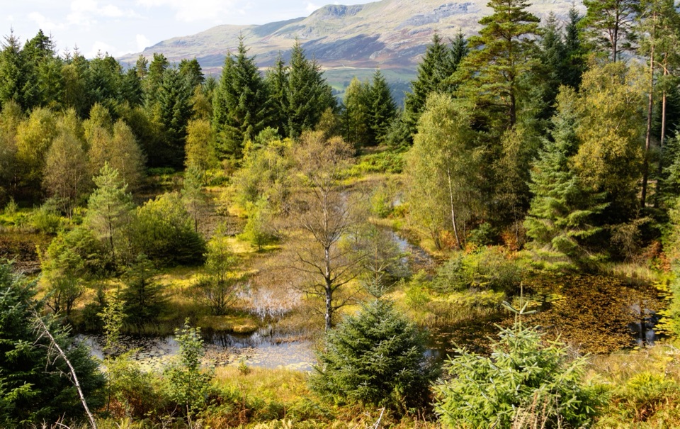 Sight · At the trailheadGrizedale ForestSculptures, trails, and mountain views fill this working forest
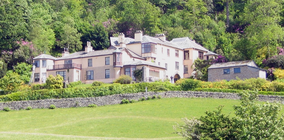 Sight · 2.7 km awayBrantwoodRuskin's house, winding gardens, and a big Coniston Water view
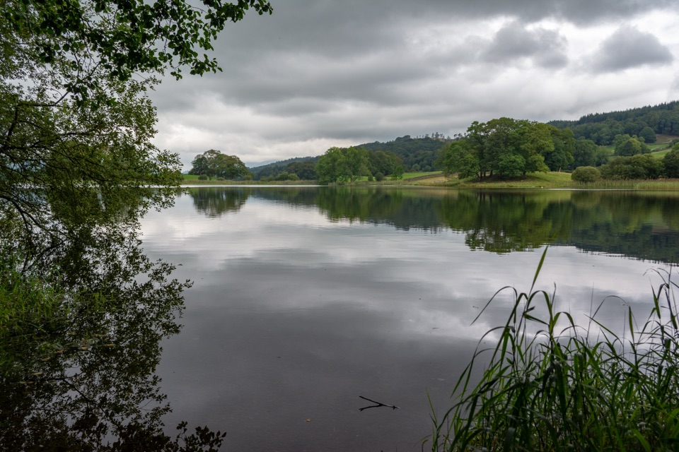 Sight · 3.2 km awayEsthwaite WaterA quiet lake for fell reflections, wildlife, and slow waterside walks
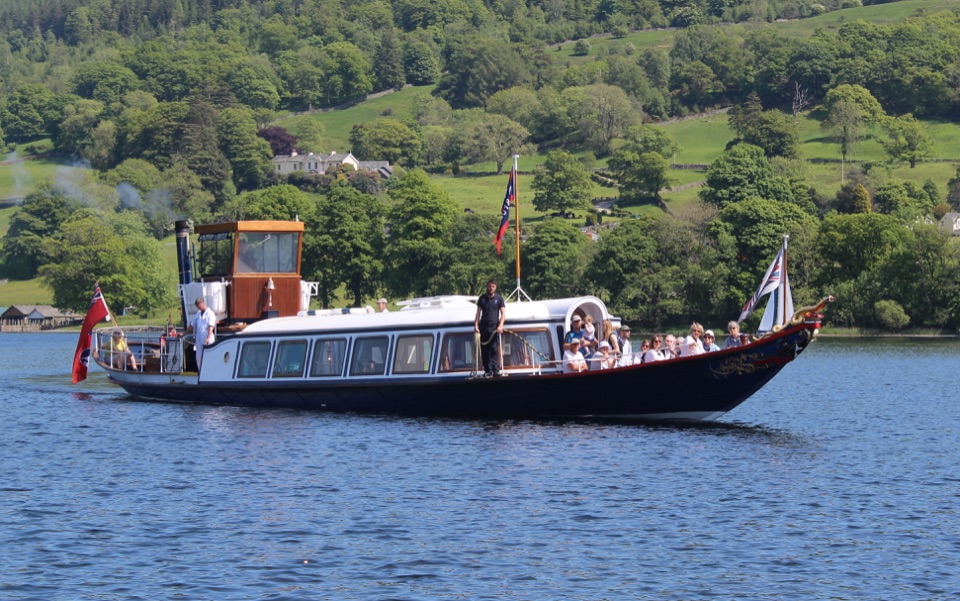 Sight · 3.3 km awayConiston WaterA deep lake of boats, stories, and the Old Man's reflection
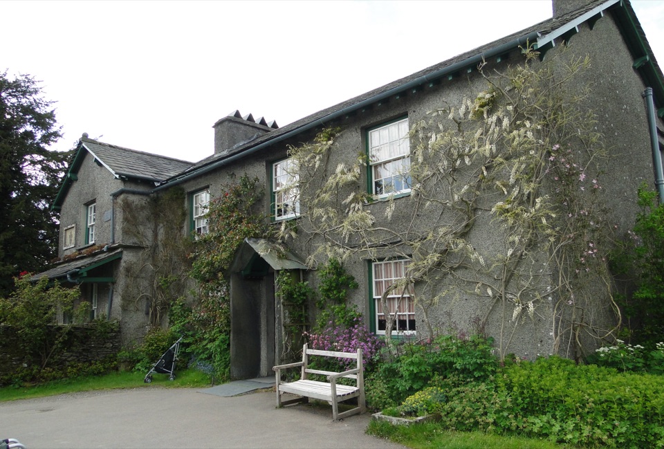 Sight · 3.7 km awayHill TopStep inside Beatrix Potter's farmhouse and the stories it inspired
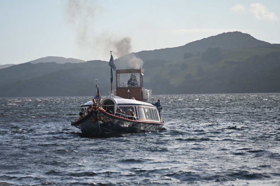 Sight · 3.8 km awaySteam Yacht GondolaA Victorian steam yacht gliding beneath Coniston's fells
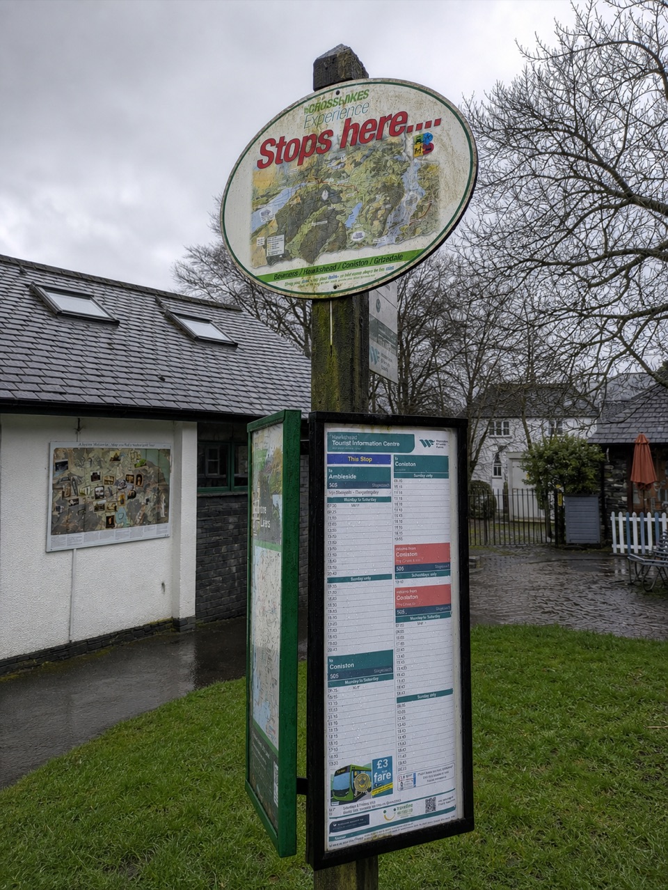 Visitor center · 4.1 km awayHawkshead Information CentreYour base for Hawkshead walks, bikes, and onward routes
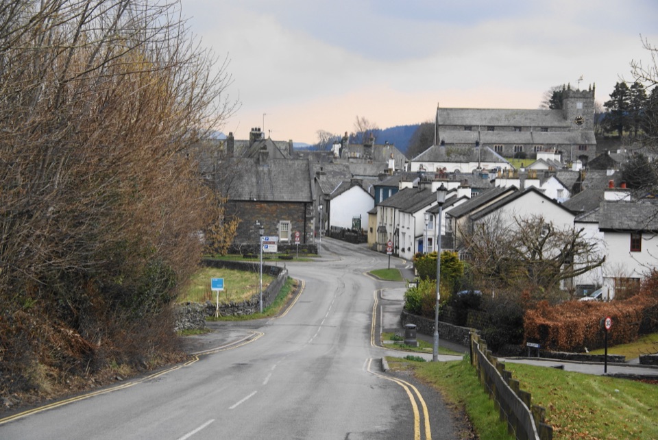 Sight · 4.1 km awayHawksheadCobbled lanes, white cottages, and a church above old market squares
Parkwolf’s Lake District ranking

The audio tour guide for the drive, plus offline maps, trails, and wildlife heatmaps for when the signal drops.





