Parking
Use the Grizedale Forest Visitor Centre car park at Grizedale, Hawkshead, LA22 0QJ. The waymarked route starts and finishes at the visitor centre.
Lake District National Park, EN
A one-hour woodland circuit past old trees, sculptures and a footbridge
Overview
Map & elevation
Plan your hike

The highest, rockiest slopes around here are a summer buffet for grizzly bears.
Lake District Tour Guide
Parkwolf is a GPS audio tour guide for Lake District National Park. As you drive, it chimes in with what’s ahead: hidden gems, upcoming stops, history, geology, and wildlife, right through your car’s speakers.
Recorded for this trailhead
Grizedale Forest: Sculptures and Carron Crag“You're nearing Grizedale Forest's visitor centre, where you can head into the woods to discover sculptures tucked among the trees.”
Plays as you drive up to this trailhead in the Parkwolf Lake District Tour Guide.
More stories near here in the app
“Fantastic app with many points of information… It’s great to just turn on while you’re driving and it gives you an audio tour of the national Park. We love it!!!!”


Trail guide
This is a short circular loop, waymarked from and back to the Grizedale Forest Visitor Centre. The complete visitor route measures 1.75 km / 1.1 miles and takes most walkers about 1 hour at an unhurried pace, allowing for stops at the sculptures along the way.
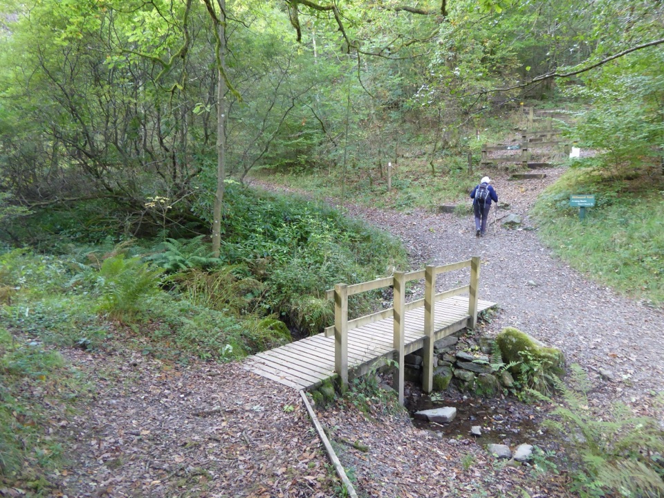
From the visitor centre you pick up the yellow waymarkers and head away from the buildings into woodland. The trail settles onto a forest path of fine gravel among old trees, passes sculpture and a narrow stream crossed by a small wooden footbridge, then curves back to the centre. Total height gain is modest, with the loop sitting low, roughly in the 107 to 142 metre band. The reward is a compact taste of Grizedale's forest and its sculpture without committing to a long day.
Editorially this rates about 3 out of 10: easy for ordinary walkers because it is short, low level and well signed. Underfoot you will find mostly fine gravel and firm forest path, plus the footbridge to cross. One steeper, cambered section is the sticking point for wheeled access, which is why the Miles Without Stiles grade here is Challenging. There is no exposed fell or summit terrain, and tree cover shelters much of the walk from wind.
Spring and summer bring dense leaf cover and green shade; autumn brings colour to the trees. Soft morning or late-day light works best under the canopy, when low sun rakes through trunks and picks out bark and the stream. Midday brings harsh contrast between bright clearings and dark woodland.
Dogs are allowed. Keep them close and in sight around other visitors, forest operations and shared-use sections where cyclists may be present. Park at the Grizedale Forest Visitor Centre, where the facilities and the waymarked start are together.
If even one cambered slope is too much, the nearby Ridding Wood Trail is a shorter, gentler loop on mostly tarmac. It suits anyone prioritising smooth, easy going while still taking in woodland and sculpture.
Wildlife
 81 sightingsRed DeerMost seen around 7 PMSighting map
 13 sightingsEurasian OtterMost seen around 6 AMSighting map
 76 sightingsOspreyMost seen around 8 AMSighting map
 51 sightingsEuropean BadgerMost seen around 8 PMSighting map
 233 sightingsMute SwanMost seen around 6 PMSighting map
 176 sightingsGrey HeronMost seen around 7 AMSighting map
Sighting maps show where each species has been reported across Lake District. Wildlife moves, so no sighting is guaranteed.
Keep exploring
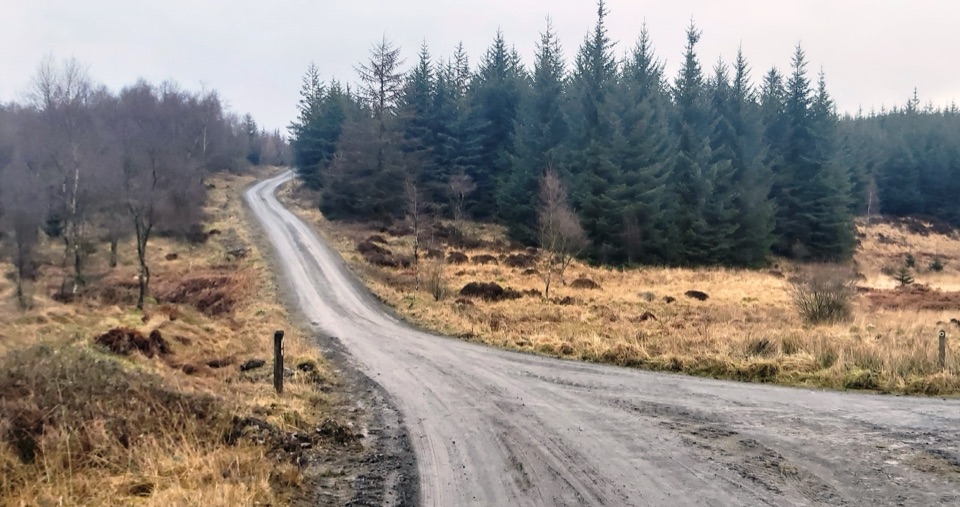 ModerateGrizedale West Multi-user Accessible Trail10.5 km · 3.5 hr · At the trailheadForest tracks and bridleways to a waterfall, sculpture and fell views
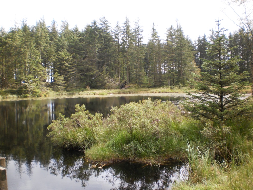 ModerateGrizedale Tarn Trail7.2 km · 2 hr · 0.1 km awayTurquoise markers to the forest's only natural tarn and Mark's Bridge
 EasyRidding Wood Trail1.6 km · 45 min · 0.1 km awayA gentle tarmac loop through oak woodland and sculpture-lined forest
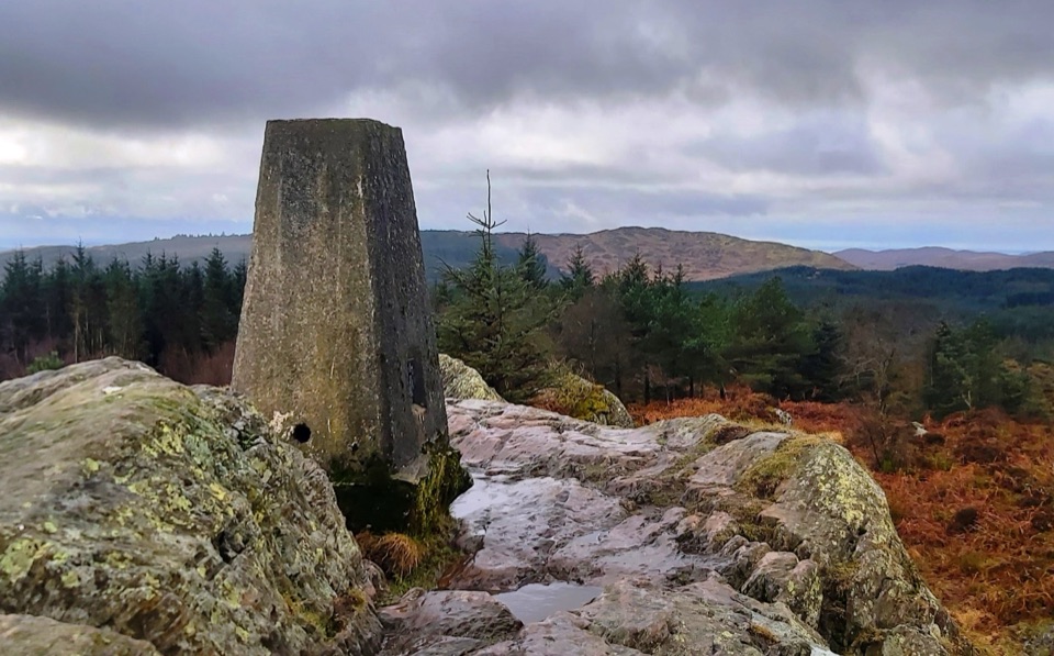 ModerateCarron Crag Trail5 km · 3 hr · 0.3 km awaySteep forest climb to a rocky trig point with wide fell views
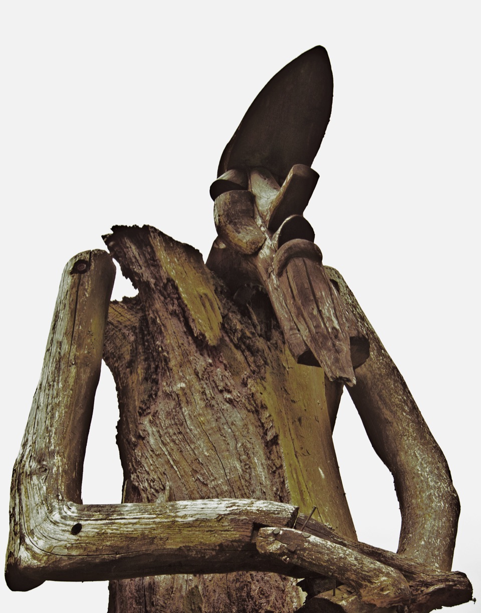 ChallengingSilurian Way17.7 km · 6 hr · 0.3 km awayHard forest loop with sculptures, climbs, and open views
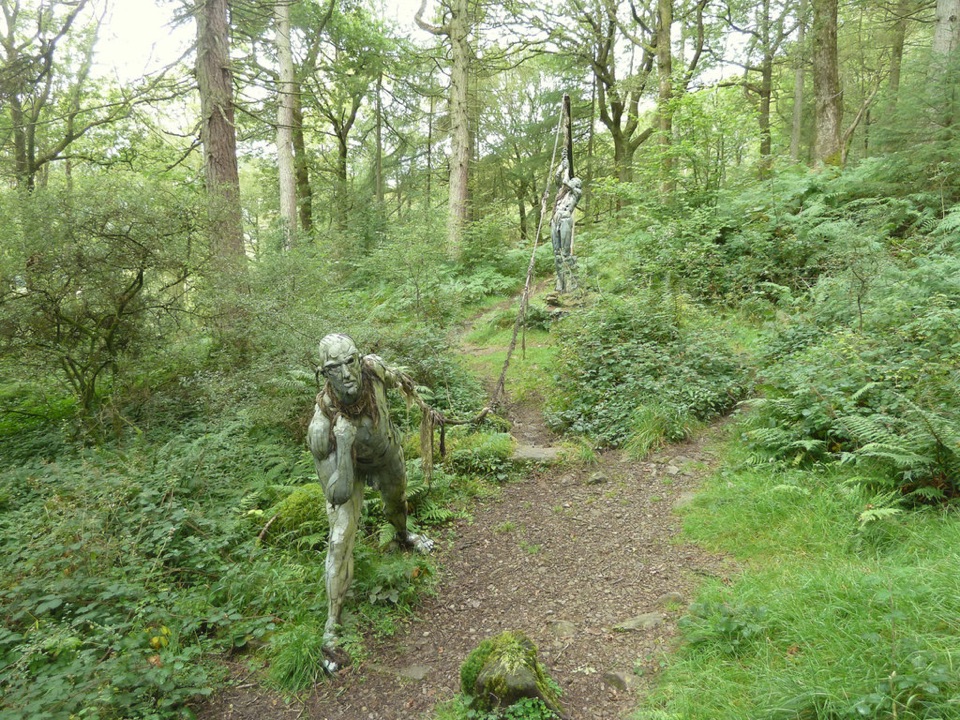 ModerateBogle Crag Trail (Long Loop)4.8 km · 2 hr · 1.2 km awayRooty climbs, quiet sculptures, one clear view over the Rusland Valley
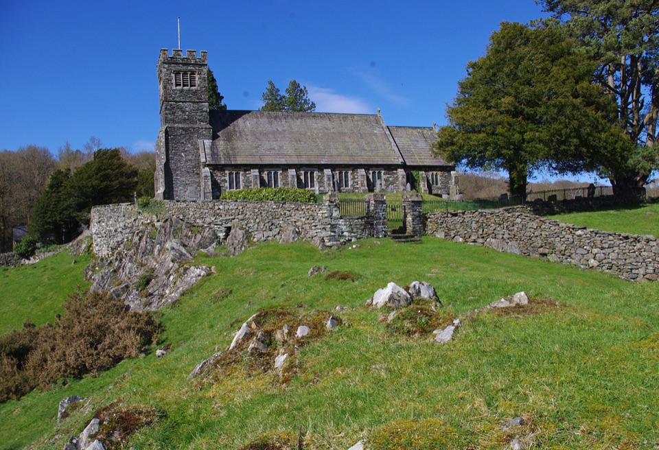 ModerateSatterthwaite and Rusland9.6 km · 3.5 hr · 3.3 km awayForges, ancient woodland and a hilltop church on a rolling forest loop
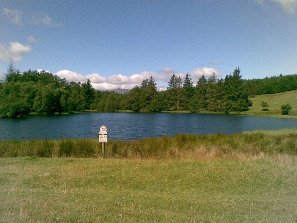 EasyBeatrix Potter's Moss Eccles Tarn Walk4 km · 1.3 hr · 3.7 km awayA short uphill loop to Beatrix Potter's favourite lily-covered tarn
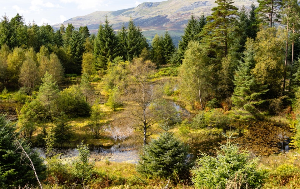 Sight · 0.1 km awayGrizedale ForestSculptures, trails, and mountain views fill this working forest
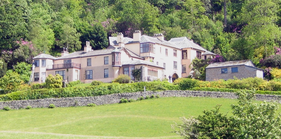 Sight · 2.7 km awayBrantwoodRuskin's house, winding gardens, and a big Coniston Water view
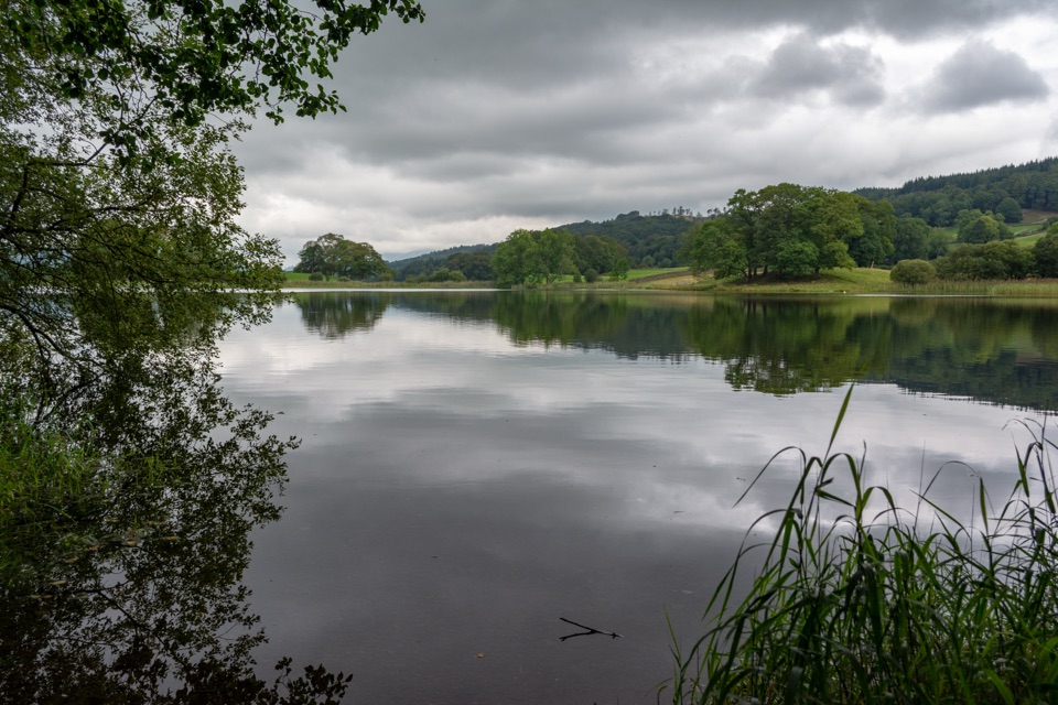 Sight · 3.2 km awayEsthwaite WaterA quiet lake for fell reflections, wildlife, and slow waterside walks
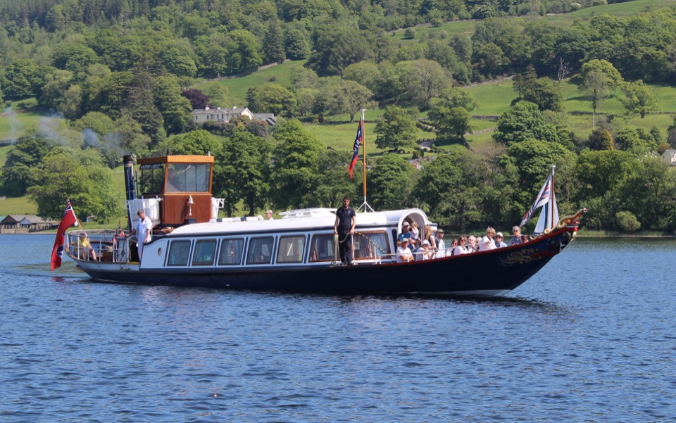 Sight · 3.3 km awayConiston WaterA deep lake of boats, stories, and the Old Man's reflection
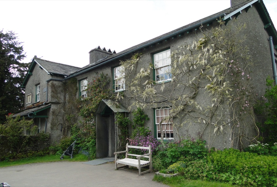 Sight · 3.7 km awayHill TopStep inside Beatrix Potter's farmhouse and the stories it inspired
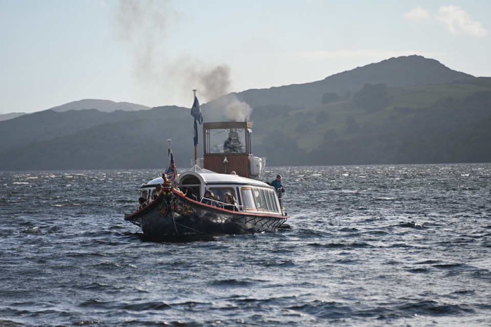 Sight · 3.7 km awaySteam Yacht GondolaA Victorian steam yacht gliding beneath Coniston's fells
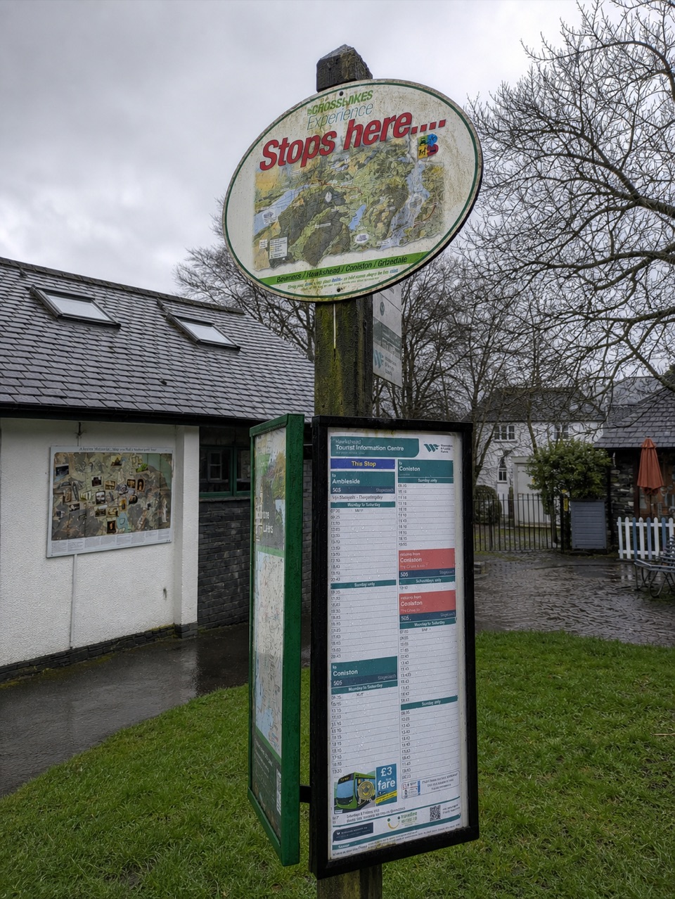 Visitor center · 4 km awayHawkshead Information CentreYour base for Hawkshead walks, bikes, and onward routes
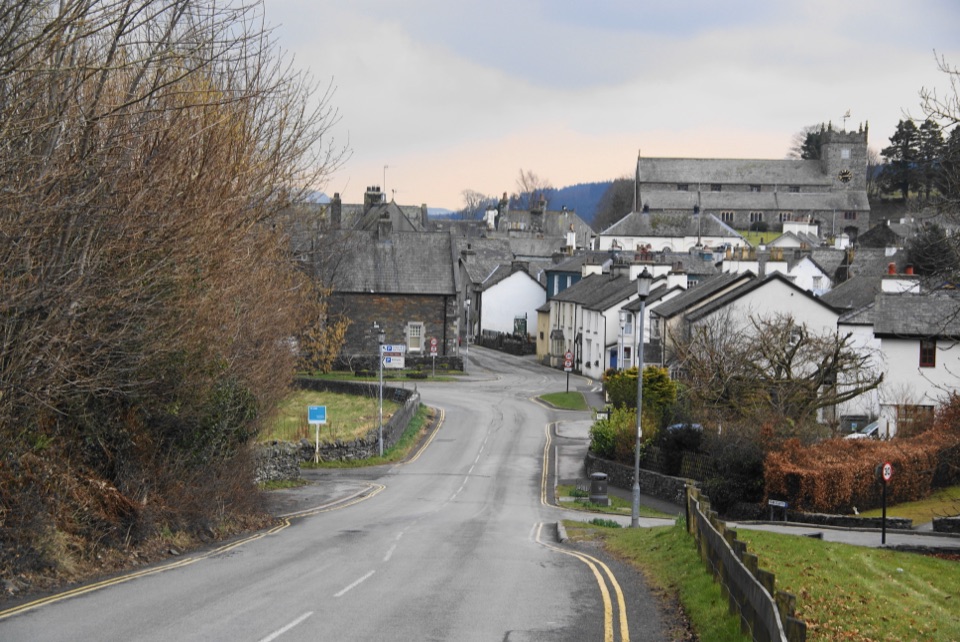 Sight · 4.1 km awayHawksheadCobbled lanes, white cottages, and a church above old market squares
Parkwolf’s Lake District ranking

The audio tour guide for the drive, plus offline maps, trails, and wildlife heatmaps for when the signal drops.





