Parking
Start at Blind Lane Car Park near Force Mills, postcode area LA12 8LQ, grid reference SD 34327 91249. This is the access point for the longer loop; plan to be self sufficient and park only in the car park area.
Lake District National Park, EN
Forges, ancient woodland and a hilltop church on a rolling forest loop
Overview
This is the longer official loop at Satterthwaite and Rusland, a closed circuit starting and finishing at Blind Lane car park near Force Mills. The stored distance of 9.57 km (5.95 miles) is the full loop, not one way and not an out-and-back, and matches the official rounded figure of 9.5 km (6 miles). The shorter 7.5 km version of this walk is a separate option and is not what is described here.
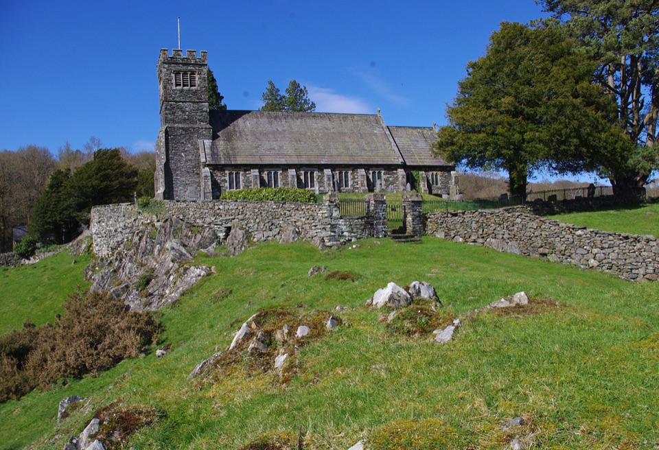
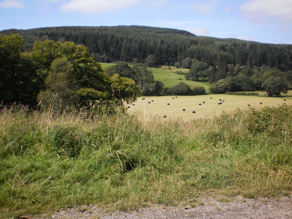
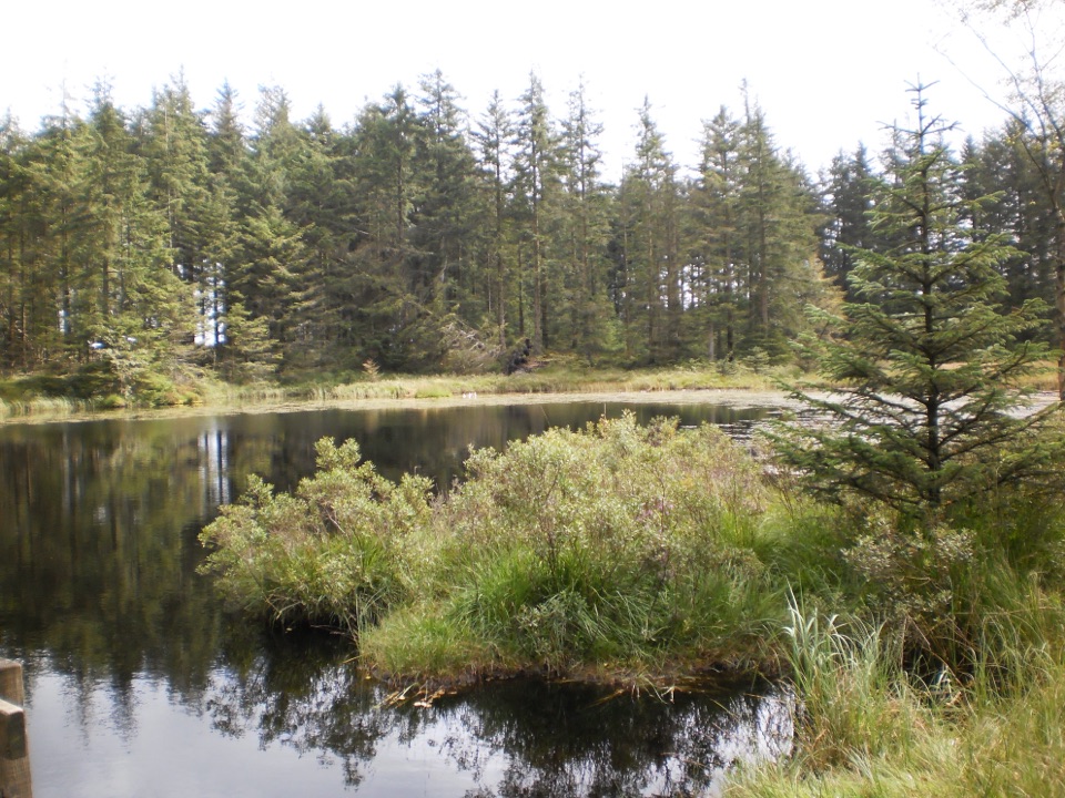
From Blind Lane the route winds through forest and ancient woodland to Satterthwaite village and Satterthwaite Bridge, passing Wood Moss Tarn, a man made forestry tarn kept for wildlife and fire water. It then turns back through forest and valley routes towards Force Mills and Force Forge, on to Rusland Church and Stoney Hazel Forge, and back to the start, with Thwaite Head on the higher ground of the circuit. The reward is the changing sequence rather than one big view: working woodland, old industrial sites, village lanes, open fields, and a church set on a rocky outcrop above the valley.
 Parkwolf’s verdictThe sequence and the payoff
Map & elevation
Plan your hike

The highest, rockiest slopes around here are a summer buffet for grizzly bears.
Lake District Tour Guide
Parkwolf is a GPS audio tour guide for Lake District National Park. As you drive, it chimes in with what’s ahead: hidden gems, upcoming stops, history, geology, and wildlife, right through your car’s speakers.
Recorded for this trailhead
Blind Lane: Woodland and Rusland Heritage“You're coming up on Blind Lane car park, the starting point for the Satterthwaite and Rusland woodland loop. The longer circuit is about six miles, so allow roughly three and a half hours, plus time for stops.”
Plays as you drive up to this trailhead in the Parkwolf Lake District Tour Guide.
More stories near here in the app
“Fantastic app with many points of information… It’s great to just turn on while you’re driving and it gives you an audio tour of the national Park. We love it!!!!”


Trail guide
Rate this one moderate, mainly for length and the constant changes in gradient rather than any single steep climb. Sampled heights along the route run from around 16 m in the valley bottom to about 156 m on the higher ground, with several separate ups and downs across the circuit. No official cumulative ascent figure exists for this longer version, so plan on rolling low level walking rather than a fell day.
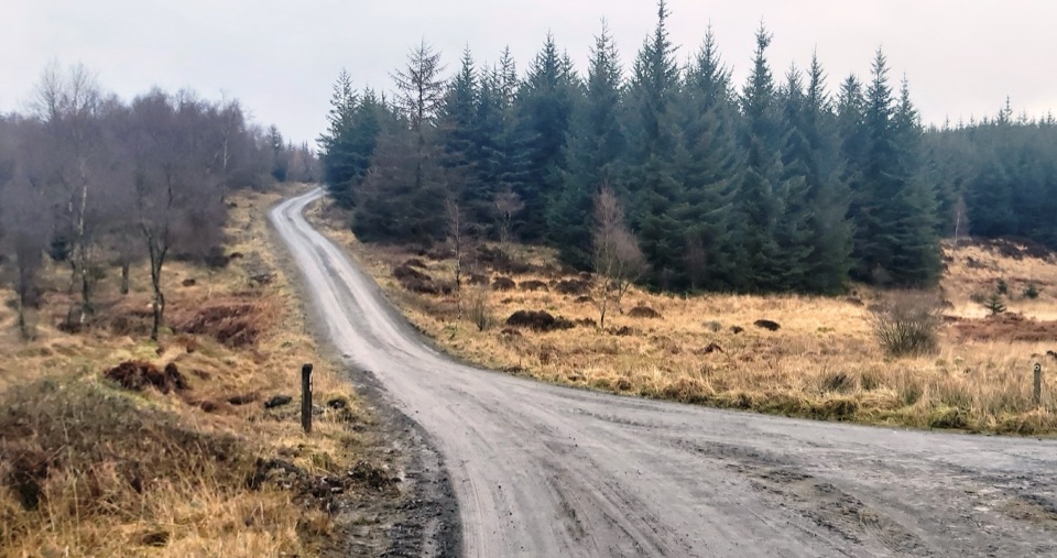
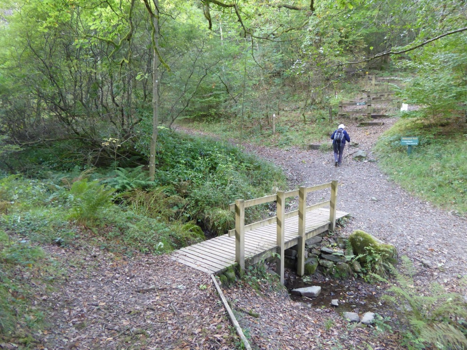
Underfoot you get a genuine mixture:
Boots and a map or GPS route are worth having, since the loop links several named path types rather than following one waymarked surface.
The start is Blind Lane car park, grid reference SD 34327 91249, nearest property postcode area LA12 8LQ. Treat it as a parking area only and arrive self sufficient with your own water and food. There is a pub in Satterthwaite, though you should not count on it as part of your plan.
The route is public access countryside and dogs are welcome, but keep them under close control, especially near livestock and farmland. On open access land the legal rule is a lead of no more than 2 metres between 1 March and 31 July, and at any time when livestock require it. Gates and field sections mean recall matters as much as the lead.
There is no summit and no single dramatic viewpoint, and a fair amount of road walking is built into the circuit. It is too long and too undulating to be a short family stroll. It suits walkers who like quiet woodland, layered local history and a varied low level loop with a steady rhythm of climbs and descents. If you want less distance and a more focused destination, the shorter woodland and viewpoint circuit at Finsthwaite Tower and The Knott nearby is a better fit.
The history is unusually dense for a walk of this length. Force Forge dates from 1620 and later served as a refinery and bobbin mill site. Stoney Hazel Forge dates from 1718 and is a rare survivor of its kind. The high bobbin mill at Force Mills was built in 1836 and burned down in 1923. Rusland Church was built in 1745 and largely rebuilt in 1868. Satterthwaite itself remains a traditional Lakeland farming village.
Wildlife
 81 sightingsRed DeerMost seen around 7 PMSighting map
 13 sightingsEurasian OtterMost seen around 6 AMSighting map
 76 sightingsOspreyMost seen around 8 AMSighting map
 51 sightingsEuropean BadgerMost seen around 8 PMSighting map
 233 sightingsMute SwanMost seen around 6 PMSighting map
 176 sightingsGrey HeronMost seen around 7 AMSighting map
Sighting maps show where each species has been reported across Lake District. Wildlife moves, so no sighting is guaranteed.
Keep exploring
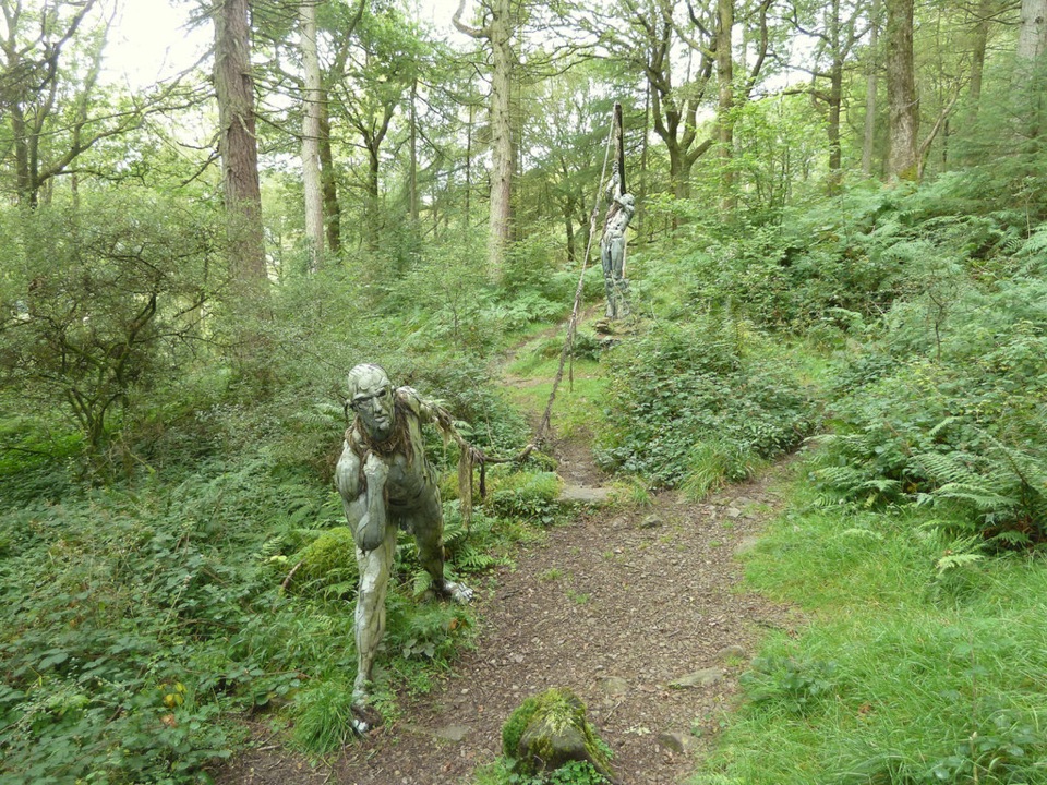 ModerateBogle Crag Trail (Long Loop)4.8 km · 2 hr · 2.1 km awayRooty climbs, quiet sculptures, one clear view over the Rusland Valley
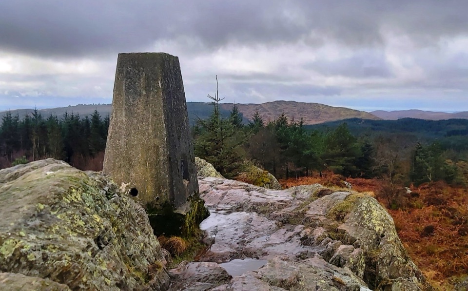 ModerateCarron Crag Trail5 km · 3 hr · 3 km awaySteep forest climb to a rocky trig point with wide fell views
 ChallengingSilurian Way17.7 km · 6 hr · 3 km awayHard forest loop with sculptures, climbs, and open views
 EasyRidding Wood Trail1.6 km · 45 min · 3.2 km awayA gentle tarmac loop through oak woodland and sculpture-lined forest
 ModerateGrizedale Tarn Trail7.2 km · 2 hr · 3.2 km awayTurquoise markers to the forest's only natural tarn and Mark's Bridge
 ModerateGrizedale West Multi-user Accessible Trail10.5 km · 3.5 hr · 3.3 km awayForest tracks and bridleways to a waterfall, sculpture and fell views
 EasyMillwood Trail (Short Loop)1.8 km · 1 hr · 3.3 km awayA one-hour woodland circuit past old trees, sculptures and a footbridge
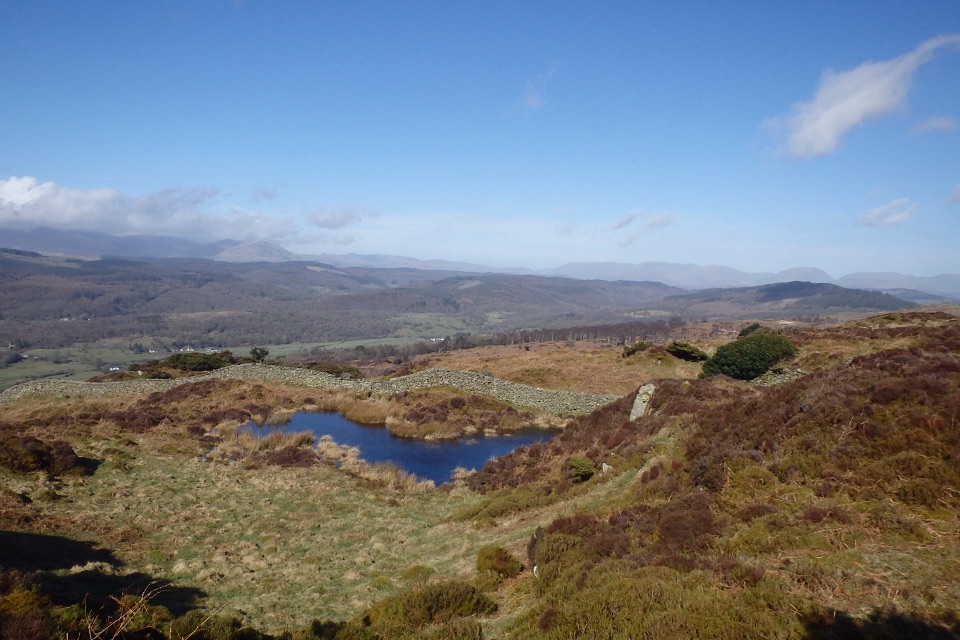 ModerateGreenwood Trail 3: Bobbin Mill to High Dam, Yewbarrow and Finsthwaite10 km · 4.5 hr · 4.2 km awayBobbin Mill to High Dam loop: tarn boardwalk, then open fell views
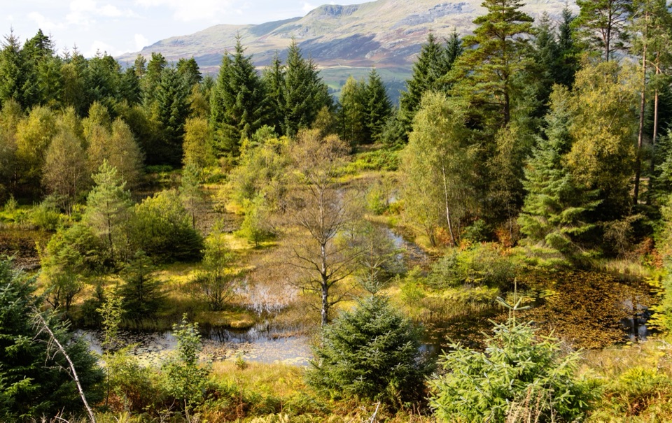 Sight · 3.2 km awayGrizedale ForestSculptures, trails, and mountain views fill this working forest
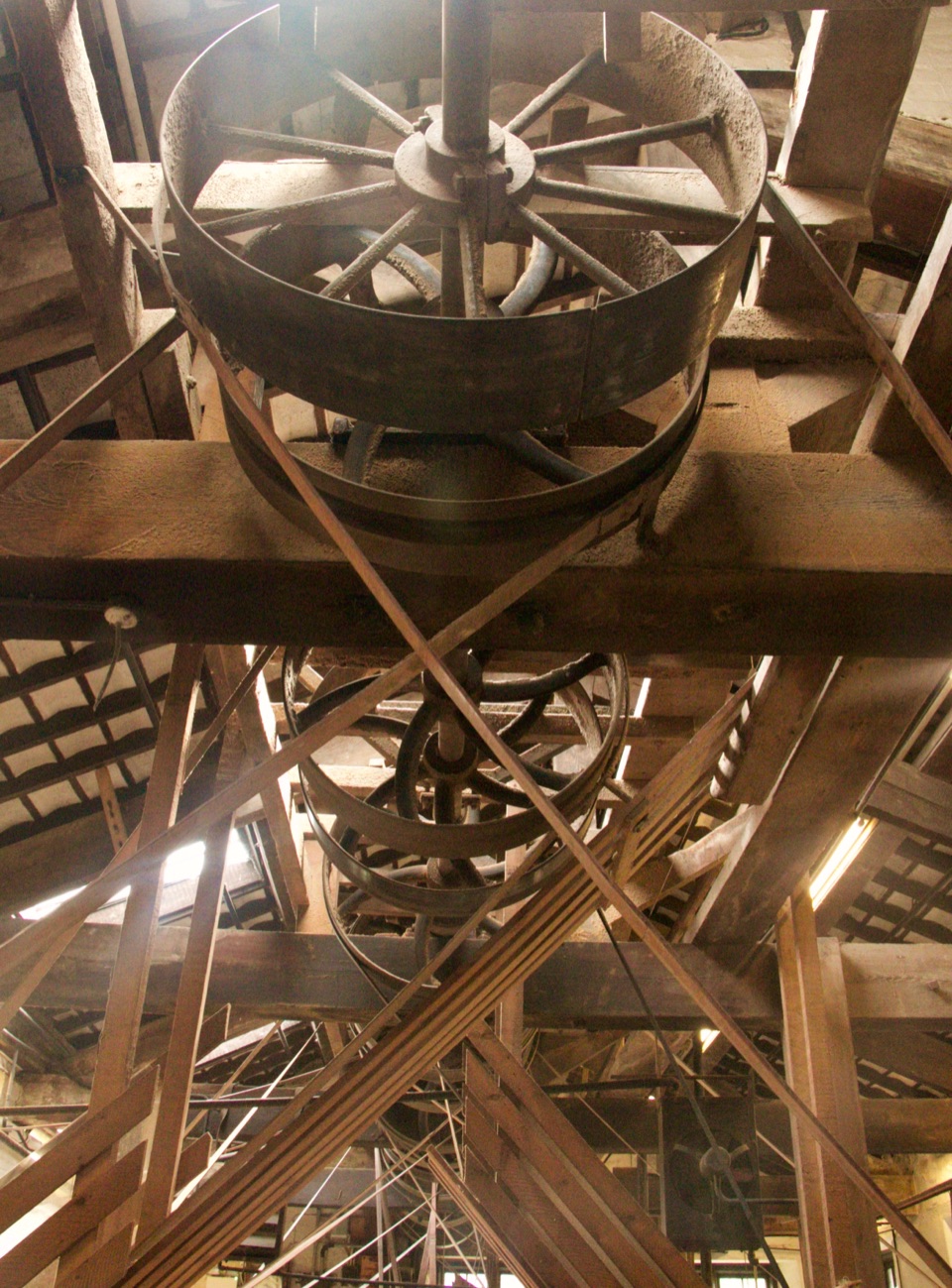 Sight · 4.2 km awayStott Park Bobbin MillClattering belts and bobbins bring Lakeland's last working mill to life
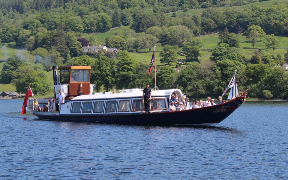 Sight · 4.8 km awayConiston WaterA deep lake of boats, stories, and the Old Man's reflection
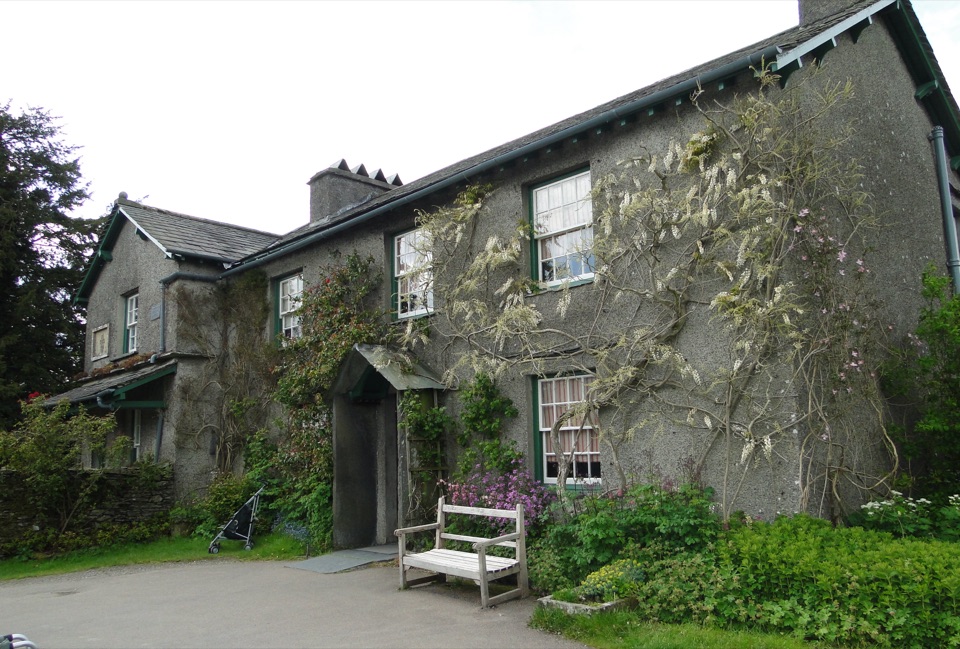 Sight · 5.1 km awayHill TopStep inside Beatrix Potter's farmhouse and the stories it inspired
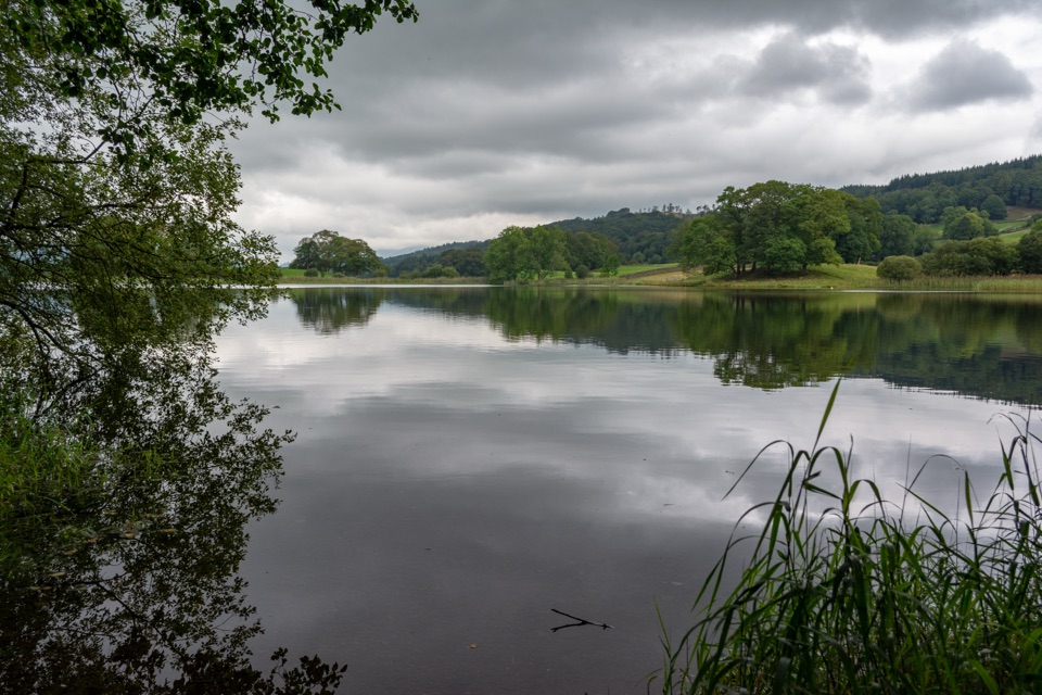 Sight · 5.4 km awayEsthwaite WaterA quiet lake for fell reflections, wildlife, and slow waterside walks
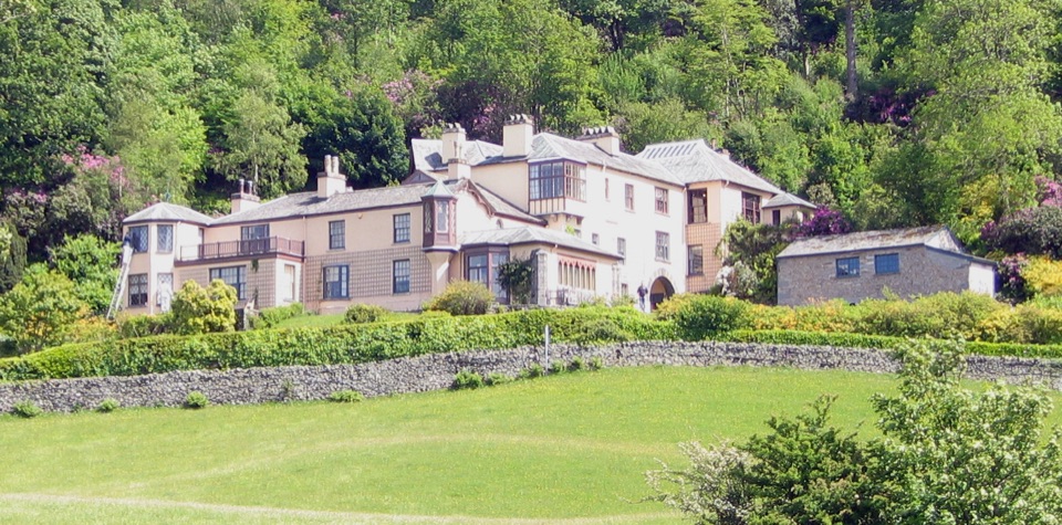 Sight · 5.5 km awayBrantwoodRuskin's house, winding gardens, and a big Coniston Water view
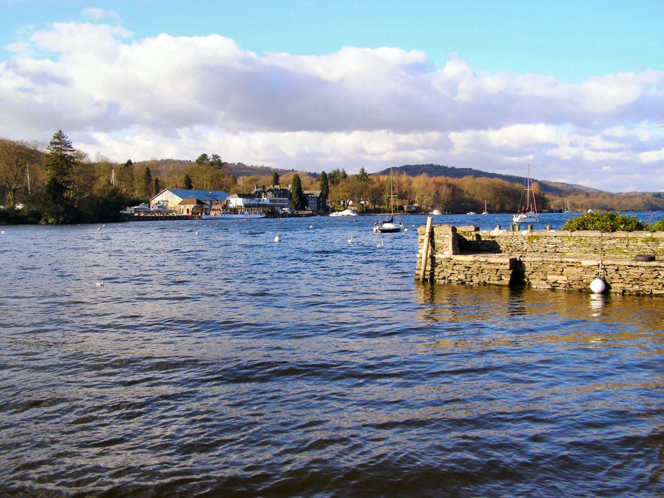 Sight · 5.7 km awayFell FootVictorian boathouses, open lawns, and easy access to Windermere
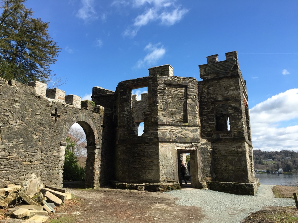 Sight · 6.2 km awayClaife Viewing StationA restored 1790s viewpoint with colour-framed Windermere views
Parkwolf’s Lake District ranking
The audio tour guide for the drive, plus offline maps, trails, and wildlife heatmaps for when the signal drops.





