Parking
Park at Grizedale Visitor Centre, the signed start for the route (SatNav LA22 0QJ).
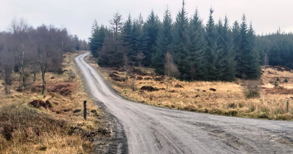
Lake District National Park, EN
Forest tracks and bridleways to a waterfall, sculpture and fell views
Overview
Map & elevation
Plan your hike

The highest, rockiest slopes around here are a summer buffet for grizzly bears.
Lake District Tour Guide
Parkwolf is a GPS audio tour guide for Lake District National Park. As you drive, it chimes in with what’s ahead: hidden gems, upcoming stops, history, geology, and wildlife, right through your car’s speakers.
Recorded for this trailhead
Grizedale Forest: Sculptures and Carron Crag“You're nearing Grizedale Forest's visitor centre, where you can head into the woods to discover sculptures tucked among the trees.”
Plays as you drive up to this trailhead in the Parkwolf Lake District Tour Guide.
More stories near here in the app
“Fantastic app with many points of information… It’s great to just turn on while you’re driving and it gives you an audio tour of the national Park. We love it!!!!”


Trail guide
Grizedale West, also signed as Greenwood Trail 6, is a 10.5 km (6.5 mile) loop starting and finishing at Grizedale Visitor Centre. Because the loop shares one approach path, the recorded line covers that approach out and back so the total represents the complete visitor walk. Allow 3 to 4 hours on foot, with about 3.5 hours a realistic planning figure.
Practically this is a moderate to easy-moderate forest route rather than an easy stroll. Surfaces are forest roads, tracks and public bridleways, with stone bridges, a wooden bridge, gates and cattle grids. Three gradient sections are the main effort, and the descending bridleway is the steepest and most uneven part.
The trail is designed for walkers, horse riders, cyclists, runners and all-terrain motorised wheelchairs, so expect people travelling in both directions. It is not universally accessible: all-terrain motorised wheelchair users are advised to use the forest-road alternative at the steep bridleway section, and less experienced cyclists will find the gradient sections demanding.
The route mixes mature conifer and broadleaf woodland with open fell and moorland edges, streams, the Farra Grain crossings and a waterfall. Sculpture is part of the character here, with the Treefold Centre and RUUP references marked on the official trail leaflet.
These are separate from the 10.5 km main loop:
Wildlife
 81 sightingsRed DeerMost seen around 7 PMSighting map
 13 sightingsEurasian OtterMost seen around 6 AMSighting map
 76 sightingsOspreyMost seen around 8 AMSighting map
 51 sightingsEuropean BadgerMost seen around 8 PMSighting map
 233 sightingsMute SwanMost seen around 6 PMSighting map
 176 sightingsGrey HeronMost seen around 7 AMSighting map
Sighting maps show where each species has been reported across Lake District. Wildlife moves, so no sighting is guaranteed.
Keep exploring
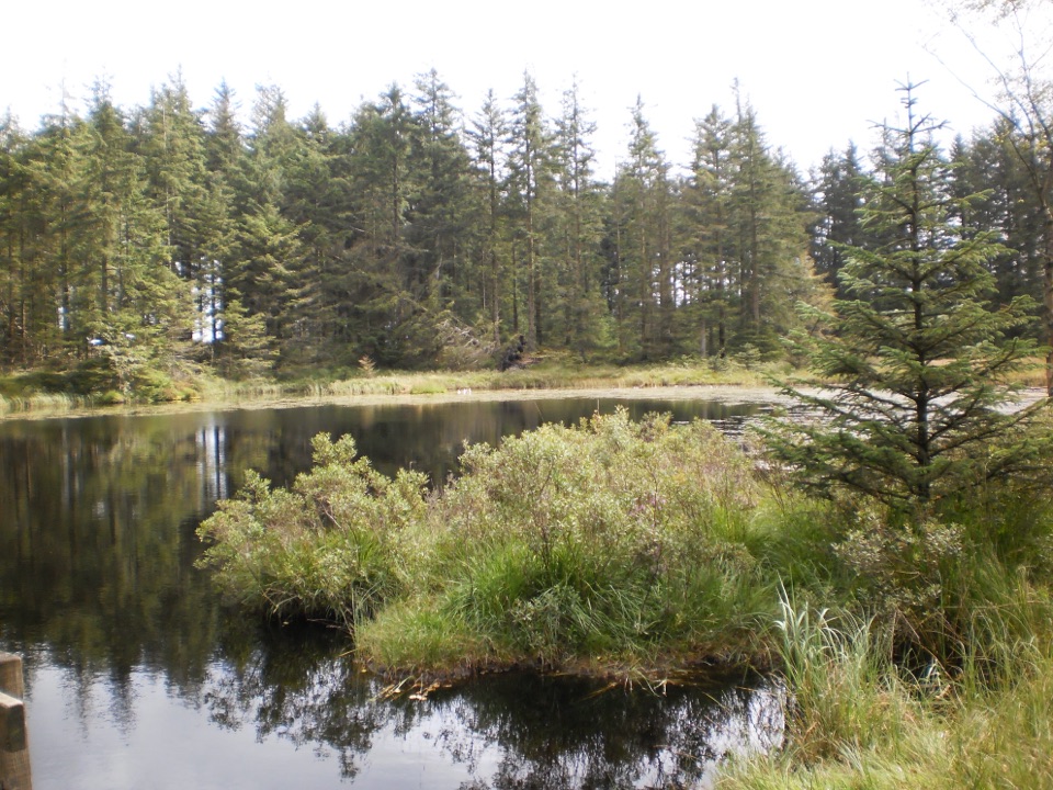 ModerateGrizedale Tarn Trail7.2 km · 2 hr · At the trailheadTurquoise markers to the forest's only natural tarn and Mark's Bridge
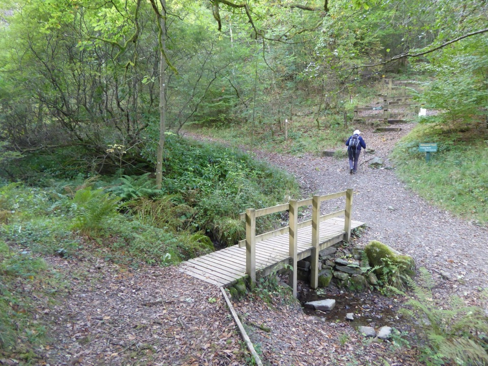 EasyMillwood Trail (Short Loop)1.8 km · 1 hr · At the trailheadA one-hour woodland circuit past old trees, sculptures and a footbridge
 EasyRidding Wood Trail1.6 km · 45 min · 0.1 km awayA gentle tarmac loop through oak woodland and sculpture-lined forest
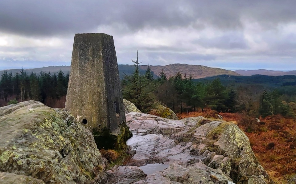 ModerateCarron Crag Trail5 km · 3 hr · 0.2 km awaySteep forest climb to a rocky trig point with wide fell views
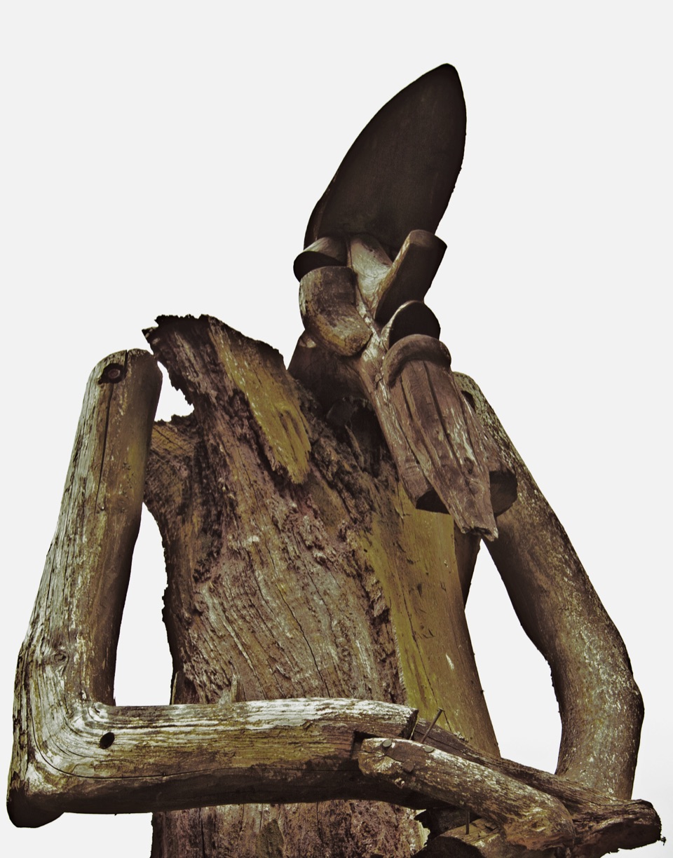 ChallengingSilurian Way17.7 km · 6 hr · 0.2 km awayHard forest loop with sculptures, climbs, and open views
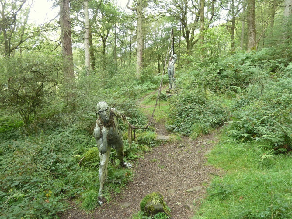 ModerateBogle Crag Trail (Long Loop)4.8 km · 2 hr · 1.2 km awayRooty climbs, quiet sculptures, one clear view over the Rusland Valley
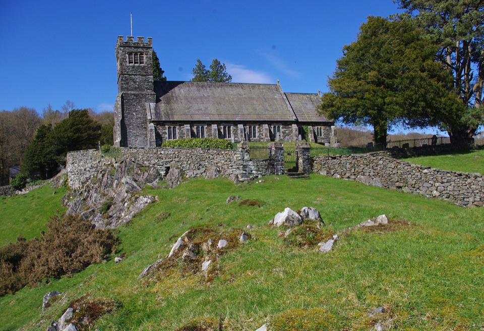 ModerateSatterthwaite and Rusland9.6 km · 3.5 hr · 3.3 km awayForges, ancient woodland and a hilltop church on a rolling forest loop
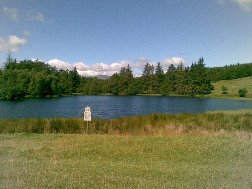 EasyBeatrix Potter's Moss Eccles Tarn Walk4 km · 1.3 hr · 3.6 km awayA short uphill loop to Beatrix Potter's favourite lily-covered tarn
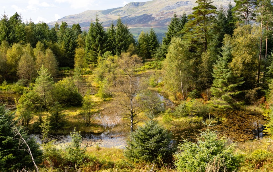 Sight · At the trailheadGrizedale ForestSculptures, trails, and mountain views fill this working forest
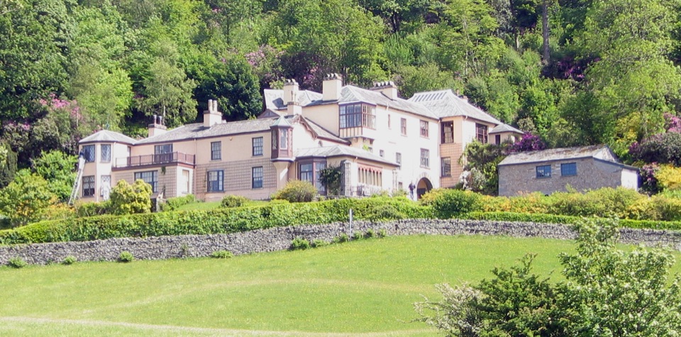 Sight · 2.7 km awayBrantwoodRuskin's house, winding gardens, and a big Coniston Water view
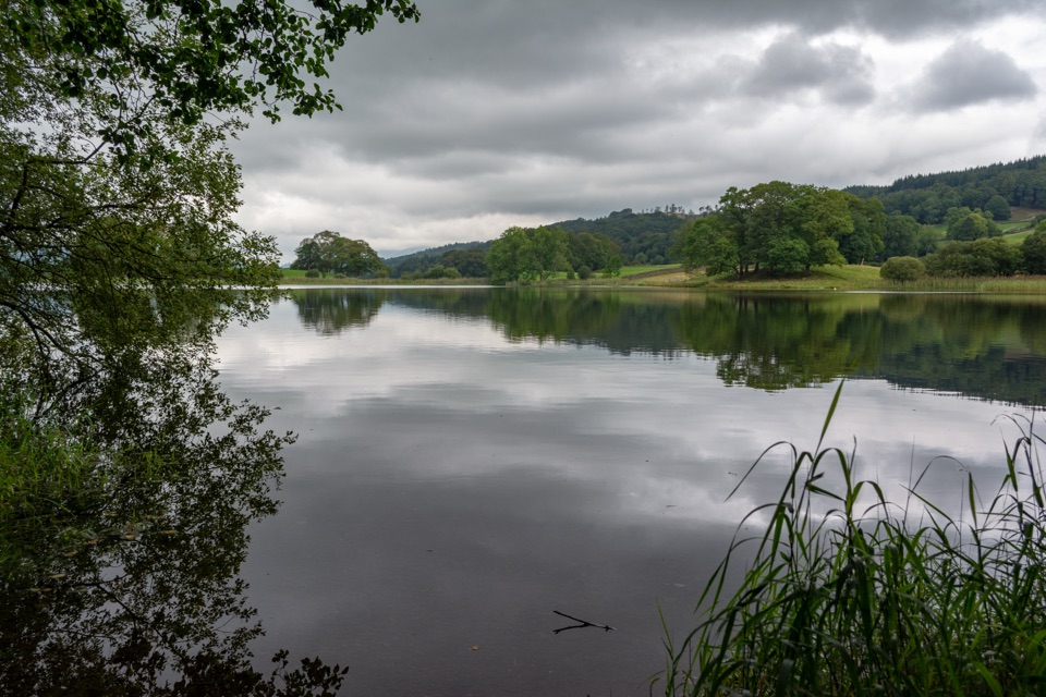 Sight · 3.2 km awayEsthwaite WaterA quiet lake for fell reflections, wildlife, and slow waterside walks
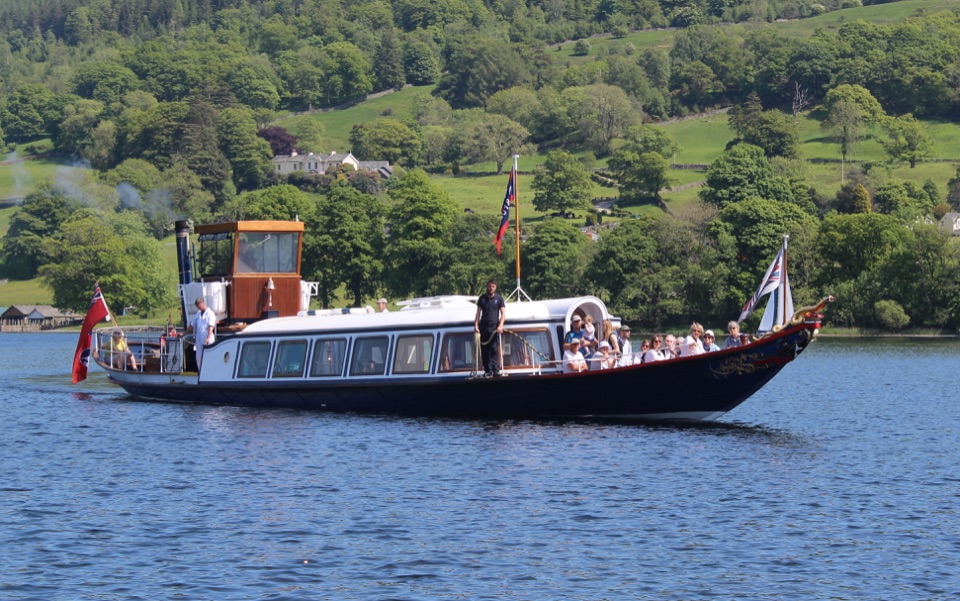 Sight · 3.3 km awayConiston WaterA deep lake of boats, stories, and the Old Man's reflection
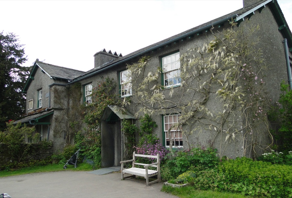 Sight · 3.7 km awayHill TopStep inside Beatrix Potter's farmhouse and the stories it inspired
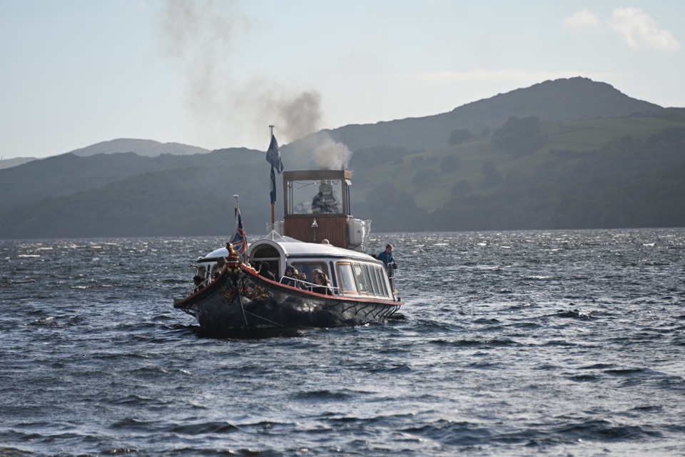 Sight · 3.7 km awaySteam Yacht GondolaA Victorian steam yacht gliding beneath Coniston's fells
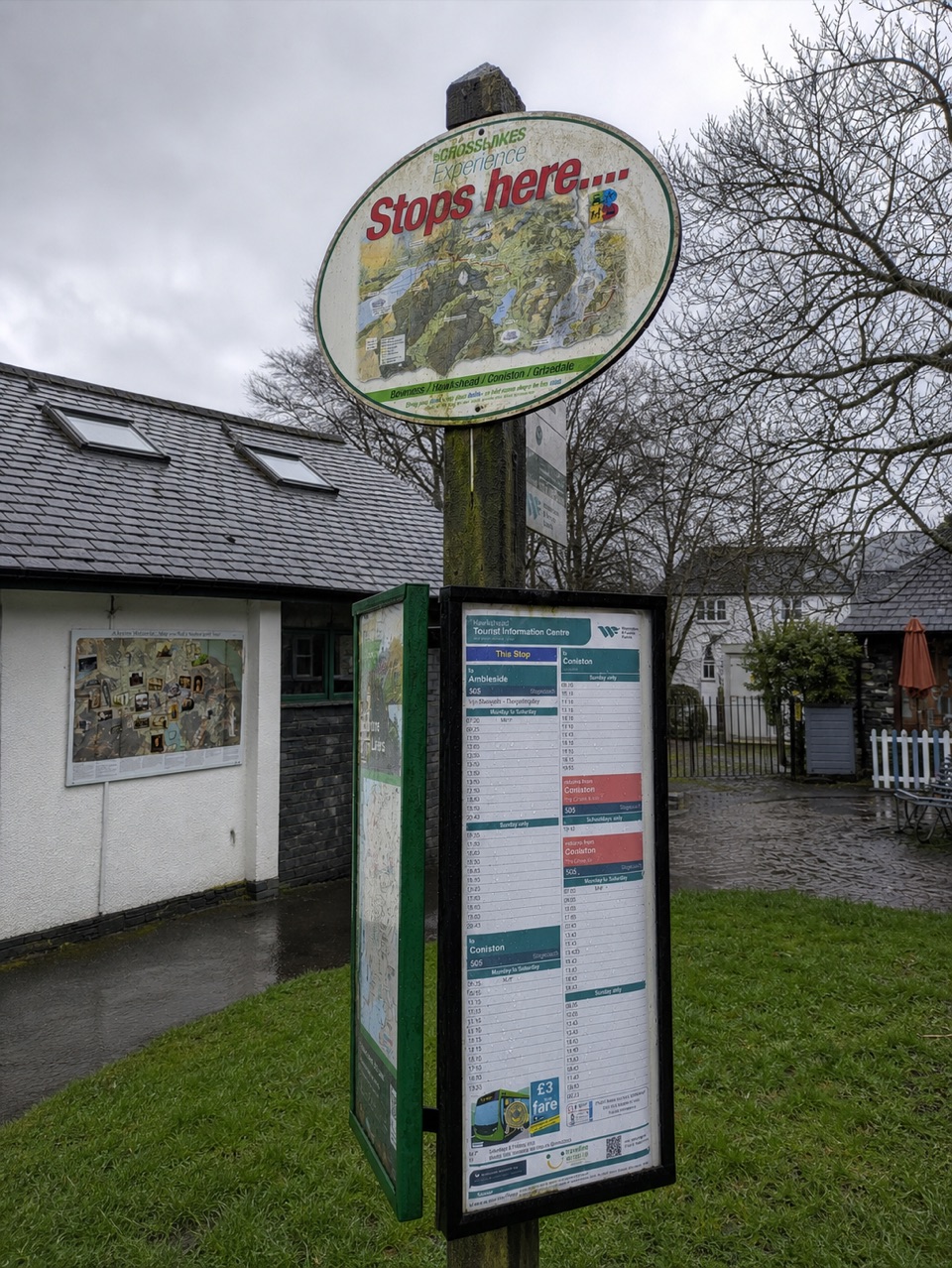 Visitor center · 4.1 km awayHawkshead Information CentreYour base for Hawkshead walks, bikes, and onward routes
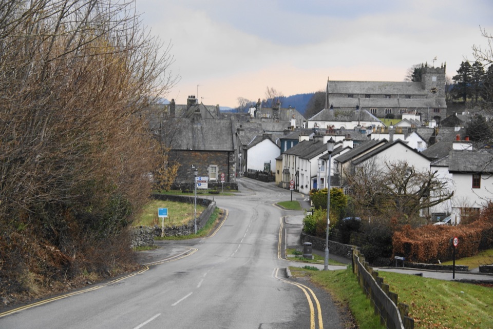 Sight · 4.1 km awayHawksheadCobbled lanes, white cottages, and a church above old market squares
Parkwolf’s Lake District ranking

The audio tour guide for the drive, plus offline maps, trails, and wildlife heatmaps for when the signal drops.





