Parking
Small roadside parking area just above Jubilee Bridge, near the cattle grid at the foot of Hardknott Pass. Arrive early because capacity is limited; leave gates, the bridge, and access routes clear for farm and emergency traffic.
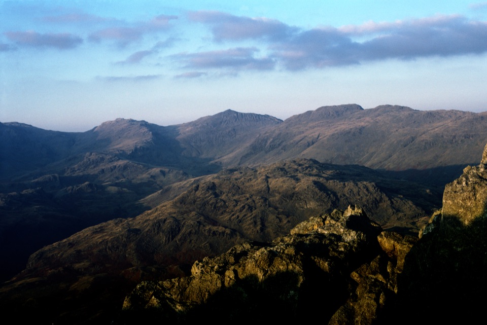
Lake District National Park, EN
Steep rocky loop to a quiet triple-tor summit above Eskdale
Overview
Map & elevation
Plan your hike

The highest, rockiest slopes around here are a summer buffet for grizzly bears.
Lake District Tour Guide
Parkwolf is a GPS audio tour guide for Lake District National Park. As you drive, it chimes in with what’s ahead: hidden gems, upcoming stops, history, geology, and wildlife, right through your car’s speakers.
Recorded for this trailhead
Jubilee Bridge: Harter Fell’s Rocky Summit“Up ahead is Jubilee Bridge, the starting point for a quieter mountain walk up Harter Fell.”
Plays as you drive up to this trailhead in the Parkwolf Lake District Tour Guide.
More stories near here in the app
“Fantastic app with many points of information… It’s great to just turn on while you’re driving and it gives you an audio tour of the national Park. We love it!!!!”


Trail guide
A 4.3 mile / 7.0 km loop (that figure is the complete circuit) from Jubilee Bridge at the foot of Hardknott Pass, with about 530 m / 1,740 ft of ascent and a realistic 3 to 4 hours on the ground. It is rated hard for ordinary walkers, not because of climbing, but because the ascent is steep, the ground is rough and rocky, and the path fades in and out. Don't confuse it with the shorter out-and-back from higher up Hardknott Pass, or the Duddon-side approach from Birks Bridge. This loop is the fuller Eskdale version.
The payoff is the summit itself: a proper little rock crown rather than a grassy dome, with Eskdale below, the Scafells to the north, the Coniston fells to the south and east, and the Duddon Estuary and western fells beyond.
Think of it as a small mountain with a big attitude. Expect wet and boggy patches low down, loose and steep rocky sections on the climb, and boulder-hopping on the descent line. The highest tors involve optional hands-on scrambling; the ordinary route can skirt the hardest blocks, so you don't need to commit to anything you're not comfortable with.
The real skill here is navigation. There is no engineered mountain path, and the ascent line genuinely disappears among bracken, streams and rock. Carry a map and compass and know how to use them, because in cloud this fell gets confusing fast. Dodknott Gill can be unsafe when in spate, so treat the ford as a decision point, not a formality. Don't count on any water source along the way. There are steep drops around the summit tors, though the most exposed ground is avoidable.
Parking is a small roadside area just above Jubilee Bridge, near the cattle grid at the foot of Hardknott Pass, with a few verge spaces before it. It fills easily, so arrive early and keep gates and access clear for farm and emergency traffic.
The route follows public footpaths and bridleways. Dogs are legally allowed, but keep them under close control or on a short lead, especially around livestock and other walkers. This is working fell country with sheep on the open ground. This is not an accessible route.
This is one of the quieter Southern Fells summits and a sensible escape from the busiest central Lakeland honeypots. Expect fewer people than the famous peaks, but plan on meeting some walkers, especially on fine weekends.
The crags and tors are andesite lava of the Birker Fell formation, part of the Ordovician Borrowdale Volcanic Group, which is exactly why the summit breaks into blocky outcrops instead of rounding off. Lower slopes carry bracken, heather, rough grass and small streams; higher up it's exposed rocky fell. Sheep are a regular presence, but treat any other wildlife as a bonus rather than an expectation.
Wildlife
 81 sightingsRed DeerMost seen around 7 PMSighting map
 13 sightingsEurasian OtterMost seen around 6 AMSighting map
 76 sightingsOspreyMost seen around 8 AMSighting map
 51 sightingsEuropean BadgerMost seen around 8 PMSighting map
 233 sightingsMute SwanMost seen around 6 PMSighting map
 176 sightingsGrey HeronMost seen around 7 AMSighting map
Sighting maps show where each species has been reported across Lake District. Wildlife moves, so no sighting is guaranteed.
Keep exploring
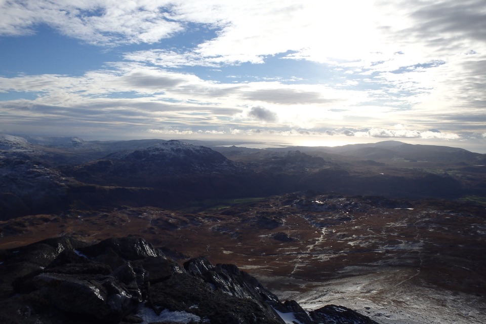 ChallengingSlight Side from Eskdale10 km · 4.5 hr · 1.3 km awayA rough, bouldery climb to a quiet Scafell-ridge summit
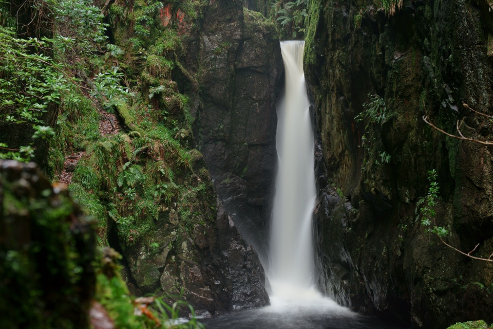 ModerateDalegarth and Stanley Ghyll Circular4.8 km · 1.8 hr · 4 km awayMossy gorge, cascades, and a dramatic waterfall above Eskdale
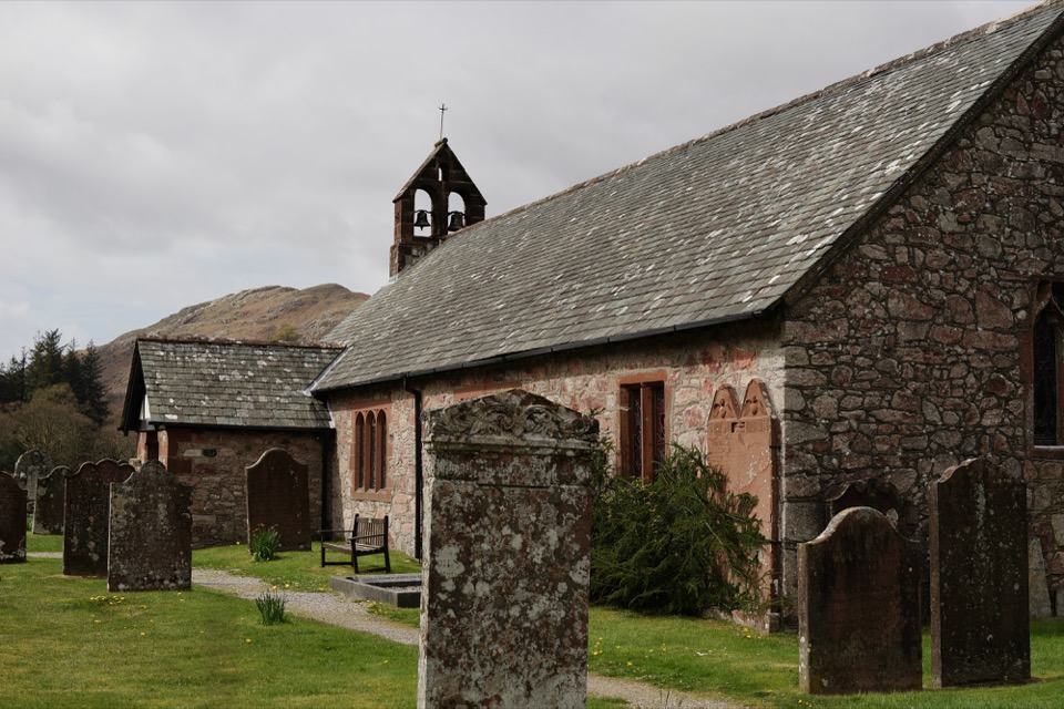 EasyDalegarth, Eskdale2.7 km · 1 hr · 4 km awayA compact Eskdale loop for church, river, and old railway traces
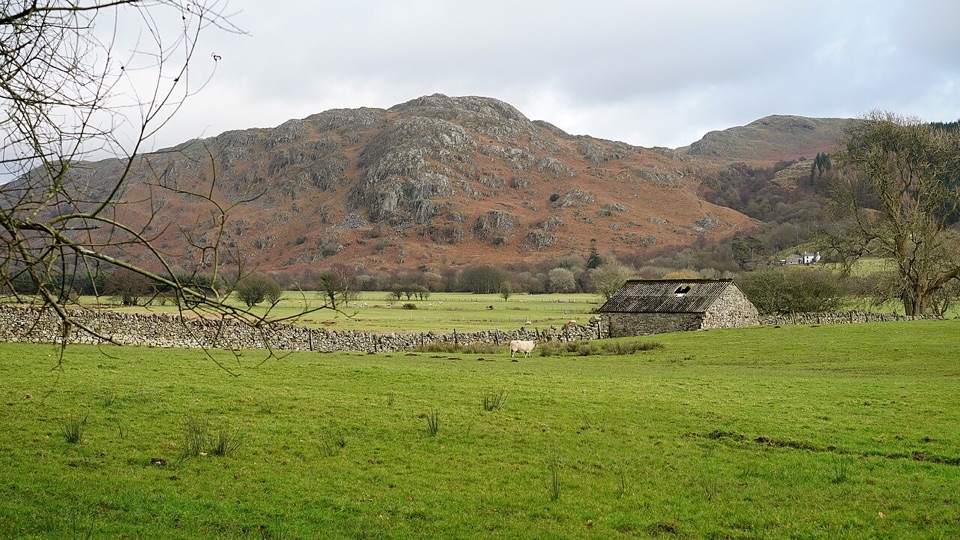 EasyEskdale Trail12.6 km · 4.5 hr · 4 km awayRiverside fields, oak woods and Chapel Hill, from Dalegarth to the coast
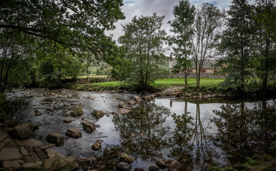 EasyRiver Esk: Steam, Ride and Ramble Walk5.6 km · 2.5 hr · 4 km awaySteam railway start, riverside paths and a humpback bridge loop
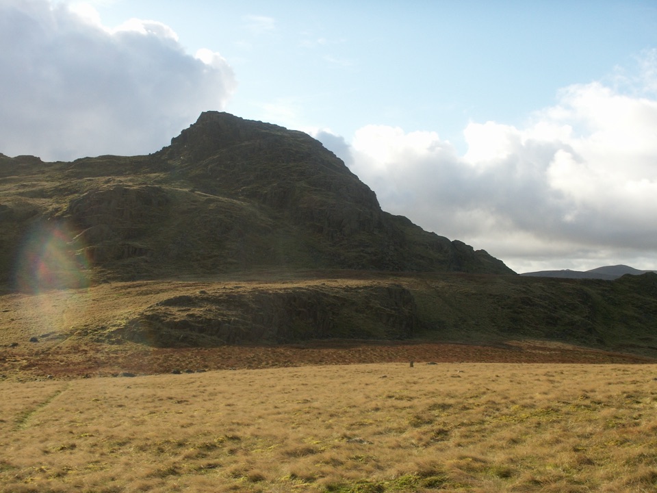 ModerateGreen Crag from Birker Fell6.6 km · 3 hr · 5.4 km awayA short, pathless fell loop with a surprisingly big summit view
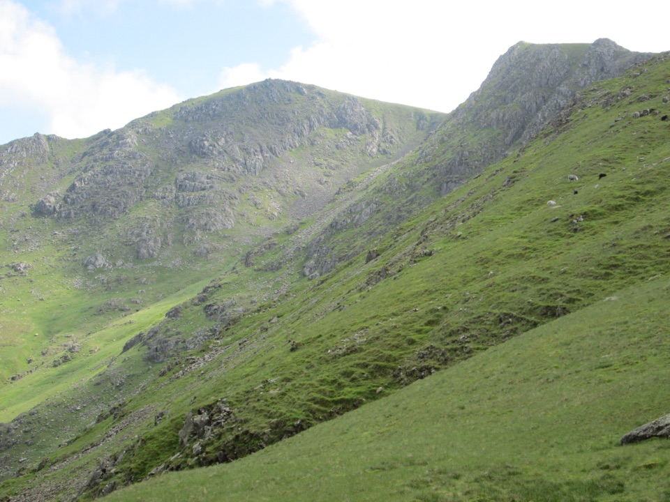 ChallengingGreat Carrs and Grey Friar7.6 km · 4 hr · 6.6 km awayA rugged two-summit outing with a dramatic ridge and bomber memorial
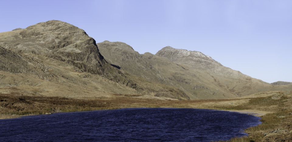 ModerateCold Pike and Pike of Blisco Loop6.4 km · 3 hr · 6.6 km awayA rugged two-summit loop with Red Tarn and broad fell views
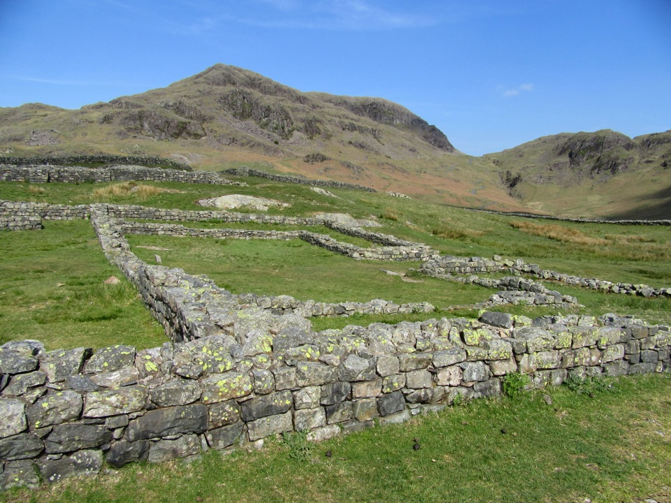 Sight · 0.7 km awayHardknott Roman FortRoman walls and a bath house high above wild Eskdale
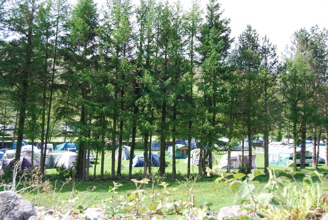 Campground · 3.5 km awayEskdale CampsiteRiverside camping below Hardknott Pass, with fells on the doorstep
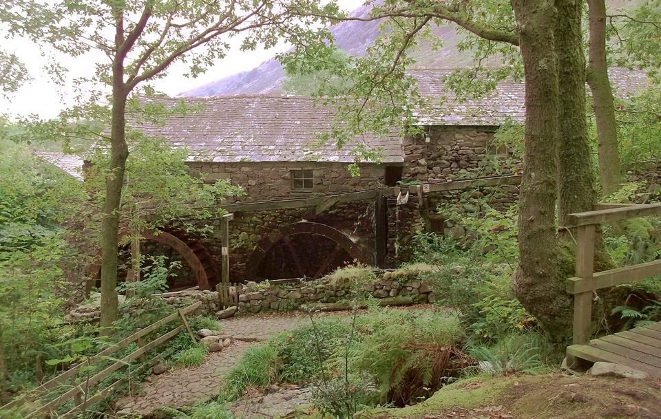 Sight · 3.7 km awayEskdale MillTwo working waterwheels bring 500 years of milling to life
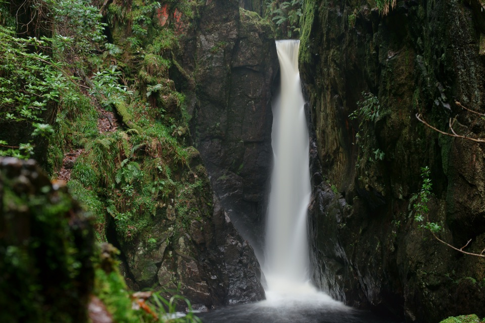 Sight · 4.2 km awayStanley GhyllA mossy ravine, footbridges, and a 60-foot waterfall
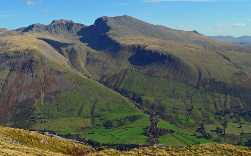 Sight · 5.4 km awayScafellA rugged high summit with big views over Wastwater and Eskdale
 Sight · 6.1 km awayScafell PikeEngland's highest summit, reached over a rough, weathered boulder field
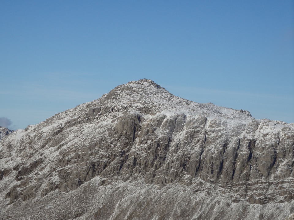 Sight · 6.2 km awayBowfellA rocky summit above Langdale, with the Scafells spread beyond
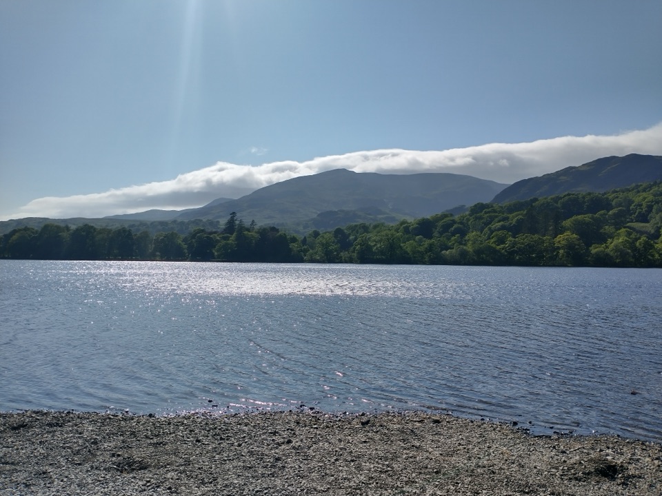 Sight · 6.7 km awayOld Man of ConistonA slate-scarred summit with wide views over the southern Lakes
Parkwolf’s Lake District ranking

The audio tour guide for the drive, plus offline maps, trails, and wildlife heatmaps for when the signal drops.





