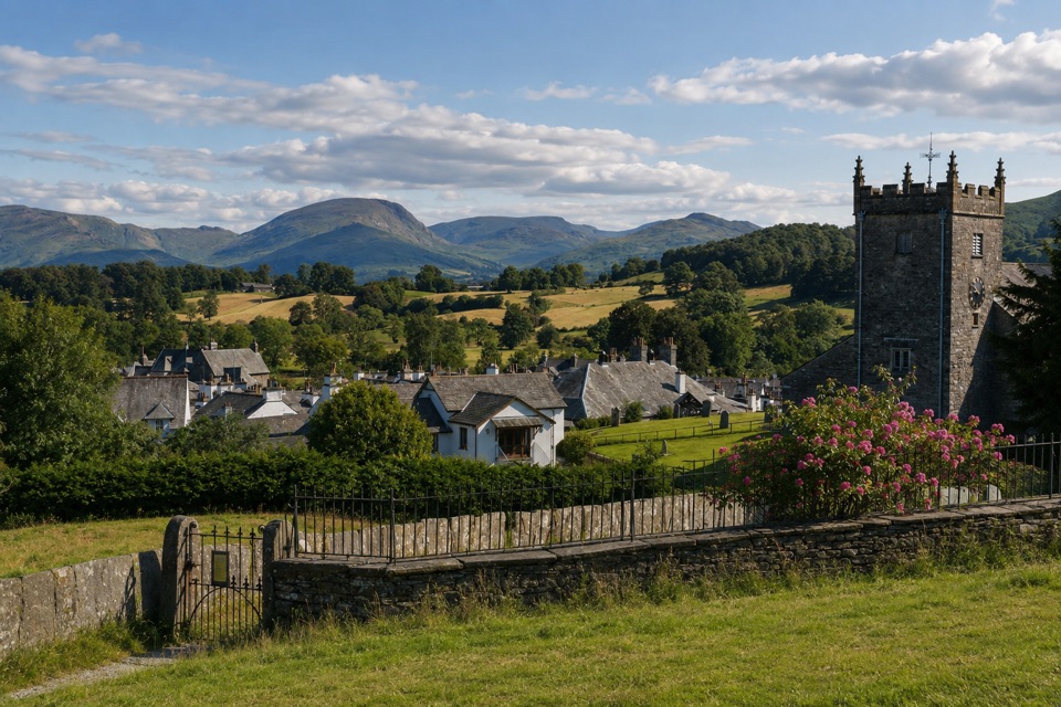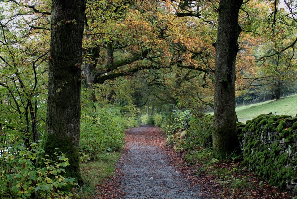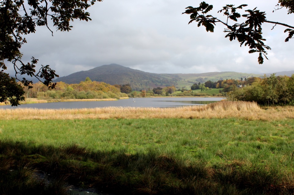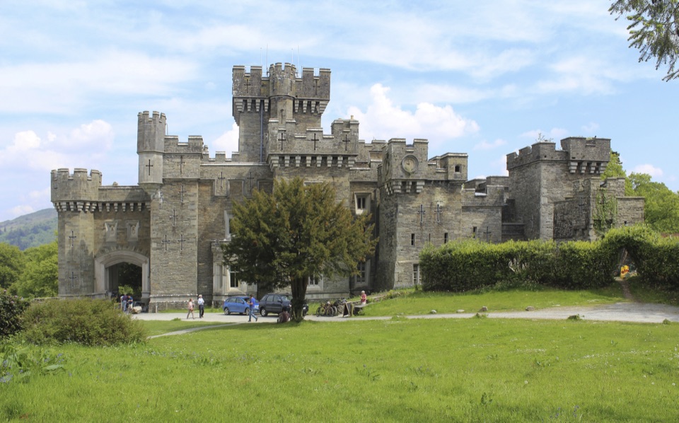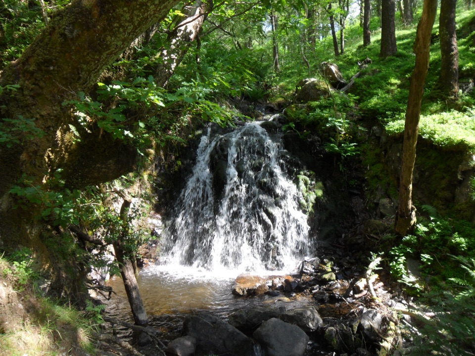
Latterbarrow from Hawkshead in Lake District National Park

Lake District National Park, EN

Latterbarrow from Hawkshead

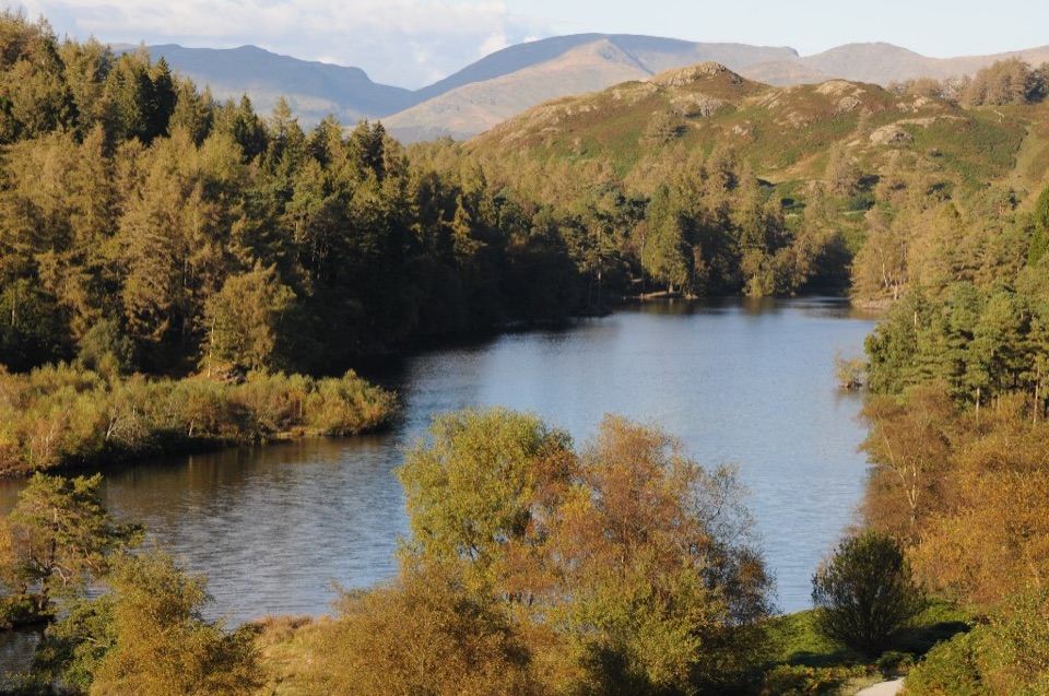
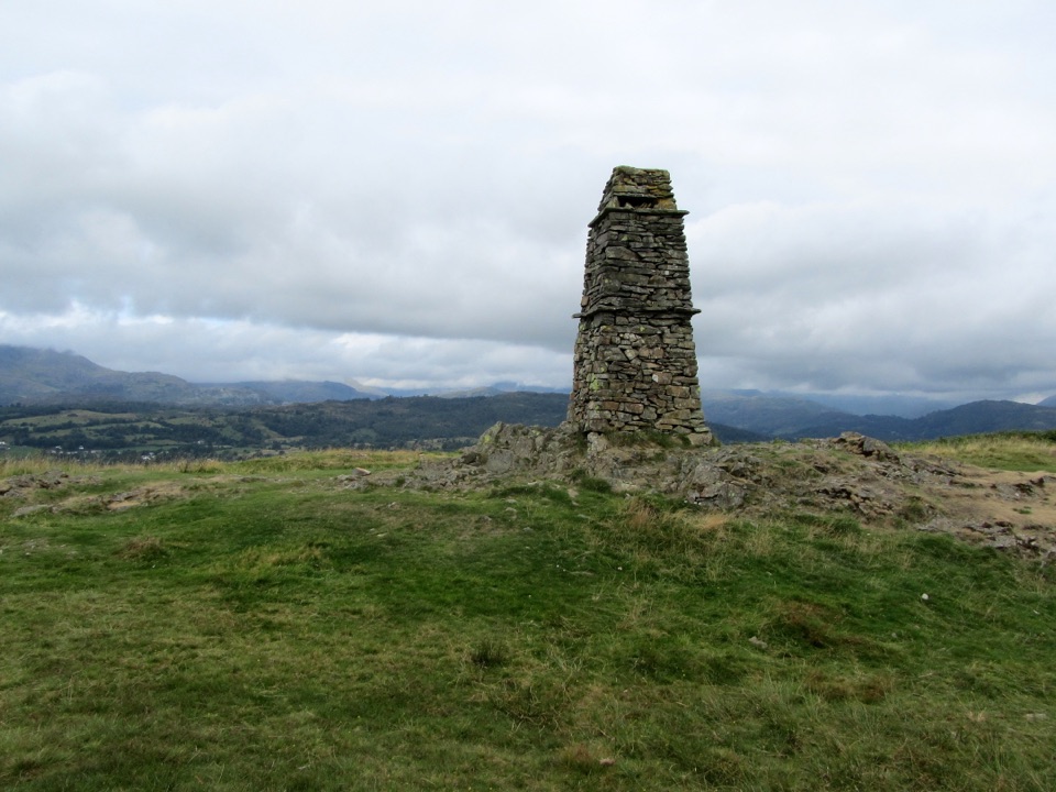
Steep beacon-topped climb with wide Windermere and Langdale views

Photo: Wikimedia Commons
Length
7.4km
Time
2.8hr
Elev. change
169m
Difficulty
Moderate
  • Loop
  • Dogs allowed
  • High point 237 m

Hear the audio tour

Hawkshead: Village Lanes and Meadow Walk

Overview

About Latterbarrow from Hawkshead

Why go

  • Wide views from a modest summit
  • Interesting loop with village, fell and woodland sections
  • Easy access from Hawkshead

Heads up

  • Steep, uneven stone-pitched climb
  • Confusing plantation tracks on the return

Map & elevation

The route

Loading the Lake District map
Full map
Elevation68–237 m
TrailheadHawkshead Car Park54.37383, -2.99678
Keep this map with you offline in the Parkwolf app

Plan your hike

Before you go

Parking

Start at Hawkshead Car Park on Main Street, Hawkshead, LA22 0NT. The route begins from the village edge and follows the signed path toward Latterbarrow and Wray through Colthouse. Public toilets are adjacent to the car park; coach and accessible bays are available.


Best time to go

This is a popular short fell, and it sees steady use even on ordinary weekdays outside the main season. Give yourself unhurried daylight: the summit deserves a stop, and the plantation section is far easier to follow when you can see junctions clearly.

Safety

The fellside ascent is steep on uneven stone-pitched steps, and the summit ground is rough and bumpy. The plantation return has several similar-looking tracks, so route-finding needs attention. Dogs must be kept under close control and on a lead around livestock.

8 active Lake District alerts

  • ClosureChapel Stile footpath closed for retaining-wall riskPart of Footpath 543030 between Chapel Stile and Baysbrown campsite is closed because a retaining wall beside the path could collapse and material it supports could fall across the footpath.Official details
  • ClosureStanley Ghyll Lower Falls footpath closed for rockfallThe section of Footpath 408037 leading towards Stanley Ghyll Lower Falls is closed because severe rockfall damage has made the path unstable and further rockfall remains a danger.Official details
See all 8 alerts
A park ranger sits on a dash-mounted phone, talking, as Parkwolf’s Tour Guide plays “Army Cutworm Moths: A Grizzly Bear Buffet” on Grand Loop Road below Dunraven Pass in Yellowstone
Parkwolf Tour GuideThe highest, rockiest slopes around here are a summer buffet for grizzly bears.

Lake District Tour Guide

Your drive to Latterbarrow from Hawkshead, narrated.

Parkwolf is a GPS audio tour guide for Lake District National Park. As you drive, it chimes in with what’s ahead: hidden gems, upcoming stops, history, geology, and wildlife, right through your car’s speakers.

Recorded for this trailhead

Hawkshead: Village Lanes and Meadow Walk
0:00 / 1:06
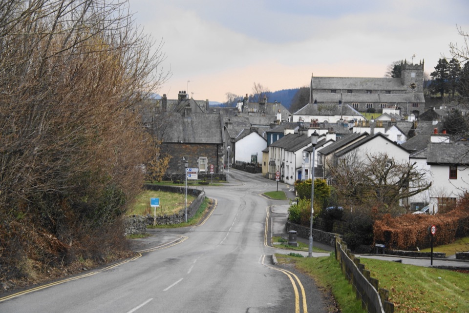
“You're coming into Hawkshead, where whitewashed cottages, cobbled lanes and little courtyards make a lovely stop to explore on foot.”

Plays as you drive up to this trailhead in the Parkwolf Lake District Tour Guide.

More stories near here in the app

  • Hawkshead: Wordsworth’s Schoolboy Carving
  • Beatrix Potter: Mushrooms Under the Microscope
  • Esthwaite Water: Ospreys and a Lakeside Pause
  • Hill Top and Moss Eccles Tarn
  • 298 audio storiesacross Lake District’s roads, triggered by GPS as you drive
  • Wildlife heatmapsfor Red Deer, Eurasian Otter, Osprey, and 13 more
  • Works offlinemaps, 265 trails, 89 places, and audio download before you lose signal
  • CarPlay readysimple controls built for the drive
★★★★★
“Fantastic app with many points of information… It’s great to just turn on while you’re driving and it gives you an audio tour of the national Park. We love it!!!!”
JMJamesApp Store review
Download Parkwolf on the App StoreGet Parkwolf on Google Play

4.7 from 8,600+ ratings

Trail guide

Hiking Latterbarrow from Hawkshead

The short versionThis is a circular loop of 4.6 miles / 7.

This is a circular loop of 4.6 miles / 7.4 km, starting and finishing in Hawkshead village, not an out-and-back. Allow about 2.5 to 3 hours, with roughly 203 m of ascent to a summit around 244 m. Moderate overall: the distance is small, but the fellside climb is short, steep and rough, and the forest return needs attention.

How the route unfoldsThe payoff is concentrated: an isolated summit that gives far more view than its modest height…

The payoff is concentrated: an isolated summit that gives far more view than its modest height suggests, which is why it is worth sitting down up there rather than turning straight around.

  • From the village, head toward the Sawrey and Windermere road, cross the bridge and follow the minor road through Colthouse toward Wray.
  • Leave the road at the signed Latterbarrow footpath, follow the track, cross a beck and climb the stone-pitched path to the open top and its tall beacon.
  • Descend away from Hawkshead, cross a step stile, and pick up the wider plantation path to a forestry road.
  • Finish on bridleway and track back to the road above Colthouse, then Loanthwaite Lane and the village.
Footing and route-findingEarly and late sections are road, lane and track, which is easy walking.

Early and late sections are road, lane and track, which is easy walking. The climb itself is the rough part, with stone-pitched steps that are uneven underfoot, and the summit plateau is bumpy rather than smooth. Boots are the sensible choice.

The real difficulty is the plantation return. The forest tracks east of the summit look very similar to each other, and a wrong turn is easy. Keep a map or GPS to hand and check junctions rather than following the widest option by instinct.

Views and photographyFrom the top the outlook splits two ways: east and north-east over Windermere toward Ambleside…

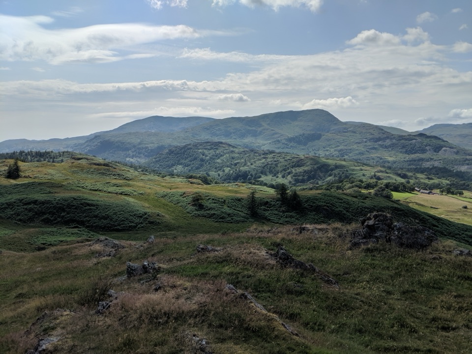
From the top the outlook splits two ways: east and north-east over Windermere toward Ambleside and the Fairfield Horseshoe, and west toward the Coniston fells, Crinkle Crags and the Langdale Pikes, with the south-western Lakes beyond. Whichever half of the day you climb, one of those directions will be into the light, so decide which panorama matters most to you and plan the visit around it.

Access and dogsStart from Hawkshead Car Park on Main Street (LA22 0NT), which has around 183 spaces, including…

Start from Hawkshead Car Park on Main Street (LA22 0NT), which has around 183 spaces, including coach and accessible bays, with public toilets adjacent. The route uses public footpaths, bridleways and access land.

Dogs may come along, but they must be kept under close control and in sight, and on a lead around livestock.

Wildlife

Wildlife in Lake District

All Lake District wildlife maps

Sighting maps show where each species has been reported across Lake District. Wildlife moves, so no sighting is guaranteed.

Keep exploring

Near Latterbarrow from Hawkshead

See it all on the map

Trails that start nearby

Places near the trailhead

Parkwolf’s Lake District ranking

Top-rated trails in Lake District

All 265 trails
  1. 1Scafell Pike via Hollow Stones from WasdaleChallenging · 9 km
  2. 2Helvellyn via Striding Edge and Swirral EdgeChallenging · 12.4 km
  3. 3CatbellsModerate · 6.6 km
  4. 4The Old Man of ConistonChallenging · 9 km
  5. 5Buttermere CircularEasy · 7.6 km
  6. 6The Fairfield HorseshoeChallenging · 17.2 km

Take Parkwolf to Lake District.

The audio tour guide for the drive, plus offline maps, trails, and wildlife heatmaps for when the signal drops.

4.7 from 8,600+ ratings

Download Parkwolf on the App StoreGet Parkwolf on Google Play