Lodore Falls, Watendlath, Grange Fell and Bowder Stone Circular in Lake District National Park

Lake District National Park, EN

Lodore Falls, Watendlath, Grange Fell and Bowder Stone Circular

Woodland falls, a hidden tarn hamlet, then rough fell and Bowder Stone

Photo: Wikimedia Commons
Length
12.9km
Time
4.5hr
Elev. change
283m
Difficulty
Moderate
  • Loop
  • Dogs allowed
  • High point 360 m
  • #78 of 265 in Lake District

Hear the audio tour

Bowder Stone: A Woodland Giant

Overview

About Lodore Falls, Watendlath, Grange Fell and Bowder Stone Circular

Why go

  • Four distinct landscapes in one loop
  • Watendlath and Bowder Stone add memorable mid- and end-point payoffs
  • Quieter fell section after the headline sights

Heads up

  • Boggy, rough ground and awkward stiles
  • Busy road stretch by Lodore and tricky fell navigation

Map & elevation

The route

Loading the Lake District map
Full map
Elevation77–360 m
TrailheadNational Trust Bowder Stone Car Park54.54116, -3.15536
Keep this map with you offline in the Parkwolf app

Plan your hike

Before you go

Parking

National Trust Bowder Stone Car Park on the B5289, CA12 5XA (OS NY253168), about 60 spaces. From Keswick, follow the Borrowdale Road for about 5 miles; the entrance is on the left about one mile past the bridge to Grange. The route begins at the car park, not at the Bowder Stone attraction.


Best time to go

Mornings are the calmest, especially along the lakeshore and at the Bowder Stone, which draw steady crowds through the day. The bridleway below Puddingstone Bank is noticeably quieter than the headline attractions. Wetter months mean fuller falls but softer, boggier fell ground; drier spells make the Watendlath climb far more pleasant. For photography, clear mornings or later-day light suit the tarn and open fell, while the falls stay shaded under woodland and reward patient, low-light exposures rather than bright midday.

Safety

The Grange Fell summit area is broad and has no cairn, making navigation difficult in poor visibility. The narrow terraced path above Lodore Wood has a Y-junction and a particularly narrow section below Gowder Crag if the wrong branch is taken. Wet rock and fell ground can be slippery and boggy, cattle may be present, and the road near Lodore is busy. Keep dogs close on a short lead near livestock and wildlife.

8 active Lake District alerts

  • ClosureChapel Stile footpath closed for retaining-wall riskPart of Footpath 543030 between Chapel Stile and Baysbrown campsite is closed because a retaining wall beside the path could collapse and material it supports could fall across the footpath.Official details
  • ClosureStanley Ghyll Lower Falls footpath closed for rockfallThe section of Footpath 408037 leading towards Stanley Ghyll Lower Falls is closed because severe rockfall damage has made the path unstable and further rockfall remains a danger.Official details
See all 8 alerts
A park ranger sits on a dash-mounted phone, talking, as Parkwolf’s Tour Guide plays “Army Cutworm Moths: A Grizzly Bear Buffet” on Grand Loop Road below Dunraven Pass in Yellowstone
Parkwolf Tour GuideThe highest, rockiest slopes around here are a summer buffet for grizzly bears.

Lake District Tour Guide

Your drive to Lodore Falls, Watendlath, Grange Fell and Bowder Stone Circular, narrated.

Parkwolf is a GPS audio tour guide for Lake District National Park. As you drive, it chimes in with what’s ahead: hidden gems, upcoming stops, history, geology, and wildlife, right through your car’s speakers.

Recorded for this trailhead

Bowder Stone: A Woodland Giant
0:00 / 0:56
“You're nearing the Bowder Stone car park, the starting point for a short woodland walk to a remarkably lopsided boulder.”

Plays as you drive up to this trailhead in the Parkwolf Lake District Tour Guide.

More stories near here in the app

  • Borrowdale: Graphite Under Guard
  • Rosthwaite: Dock Tarn and Great Crag
  • Lodore Falls: The Lower Viewpoint
  • Surprise View: Panorama Without the Climb
  • 298 audio storiesacross Lake District’s roads, triggered by GPS as you drive
  • Wildlife heatmapsfor Red Deer, Eurasian Otter, Osprey, and 13 more
  • Works offlinemaps, 265 trails, 89 places, and audio download before you lose signal
  • CarPlay readysimple controls built for the drive
★★★★★
“Fantastic app with many points of information… It’s great to just turn on while you’re driving and it gives you an audio tour of the national Park. We love it!!!!”
JMJamesApp Store review
Download Parkwolf on the App StoreGet Parkwolf on Google Play

4.7 from 8,600+ ratings

Trail guide

Hiking Lodore Falls, Watendlath, Grange Fell and Bowder Stone Circular

The shape of the dayThis is a continuous 8.0-mile (12.

This is a continuous 8.0-mile (12.8 km) loop with around 487 m of ascent, starting and finishing at the National Trust Bowder Stone Car Park on the B5289 rather than at the Bowder Stone itself. Most walkers take four to five hours; a fast, dry-day pace with few stops is closer to three and a half. It packs four distinct landscapes into one circuit, so treat it as a full day out rather than a quick leg-stretch.

SequenceFrom the car park, head toward Grange, cross Grange Bridge and pass through the hamlet, then…

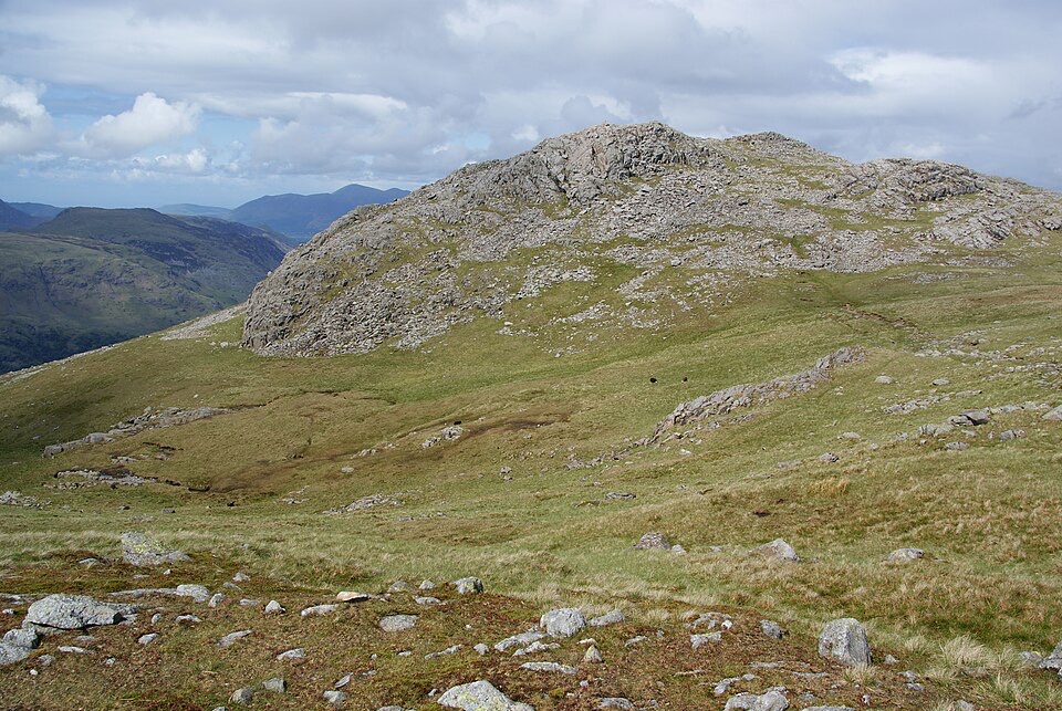
From the car park, head toward Grange, cross Grange Bridge and pass through the hamlet, then pick up the public footpath beside Ellers Beck. The route follows the southern shore of Derwent Water through wetlands on boardwalks and over the Chinese Bridge, then uses road and footway past the Lodore Falls Hotel to the falls viewpoint. From there a narrow terraced path climbs through Lodore Wood above the beck, traverses above Watendlath Beck, and reaches Watendlath by a cobbled path and footbridge. After the packhorse bridge and tarn, rough tracks and wet grass beside a wall and stream lead to the broad top of Grange Fell (Brund Fell). Descent is by the bridleway below Puddingstone Bank, then under plantation through Frith Wood, finishing on road and a signed footpath past the Bowder Stone.

Payoff and sceneryLodore Beck feeds the falls, which sit enclosed in trees and ferns and feel quite separate from…

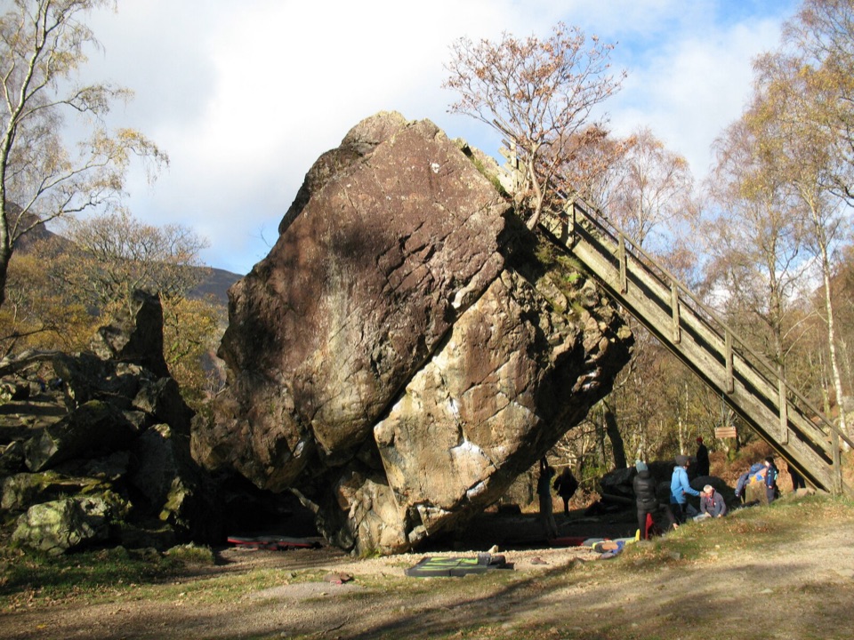
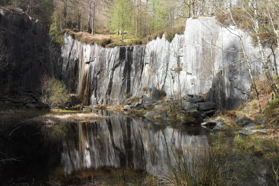
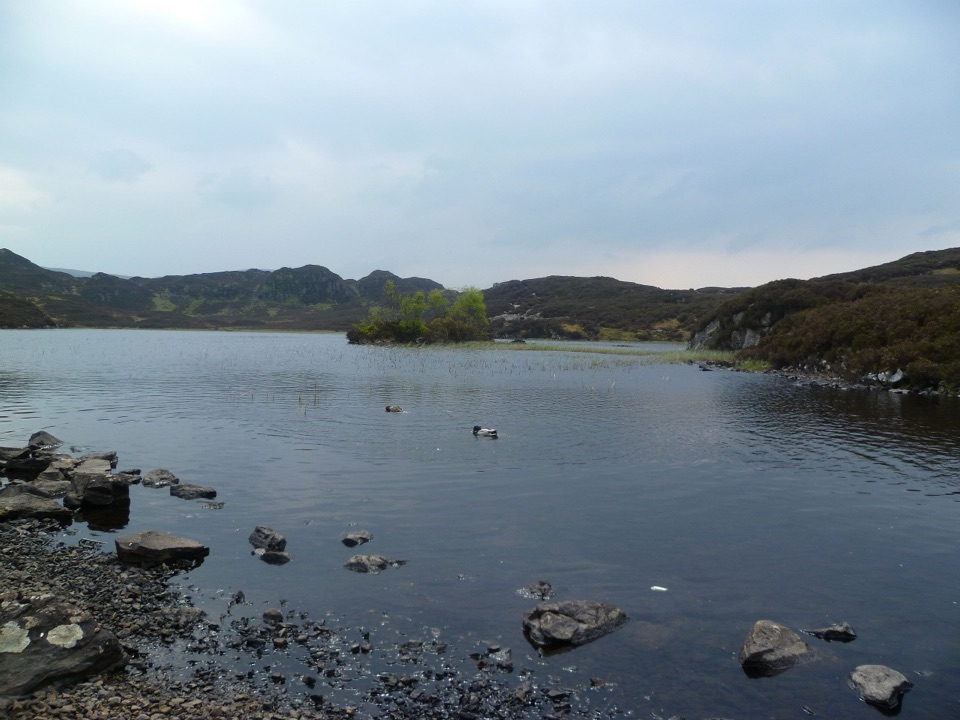
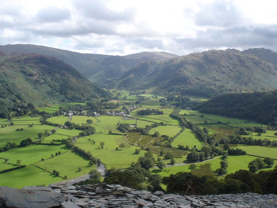
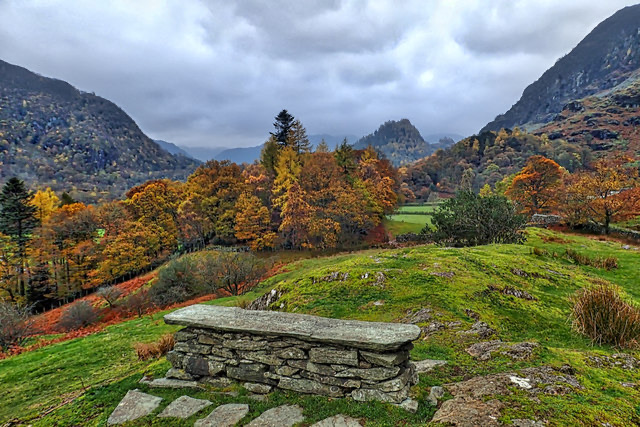
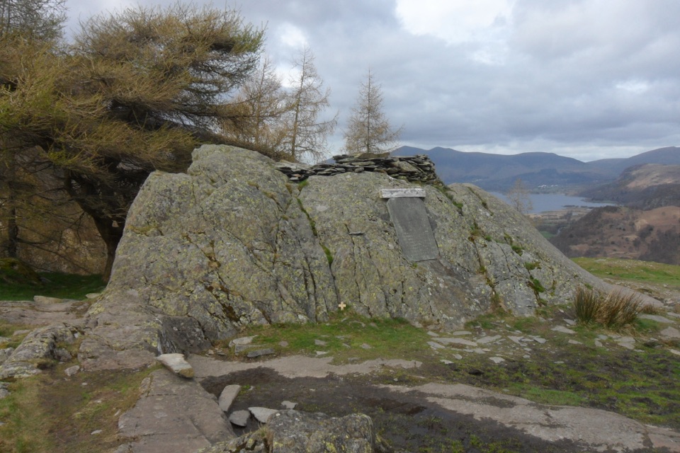
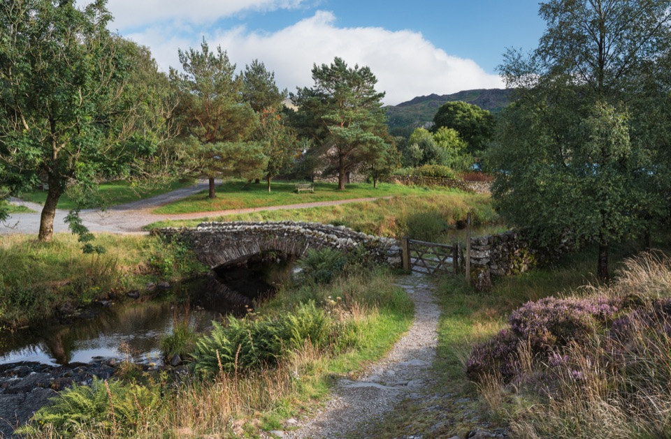
Lodore Beck feeds the falls, which sit enclosed in trees and ferns and feel quite separate from the open water below. The lakeshore section gives low, level views across Derwent Water into Borrowdale. Watendlath is the emotional centre of the walk: a small hamlet, a packhorse bridge and a tarn held in a fold of the fells. Grange Fell repays the climb with an unusually complicated, knobbly summit area and wide views over the valley. The Bowder Stone at the end is a genuinely large rock feature with clearly visible structure and a stairway to the top.

Difficulty and footingThe route is fairly rated as rough, soft underfoot and requiring basic map reading.

The route is fairly rated as rough, soft underfoot and requiring basic map reading. Surfaces shift constantly: public footpath, bridleway, rough track, grass, boggy ground, boardwalk, short sections of road, plus gates, stiles and a footbridge. Nothing is technical, but the ground between Watendlath and Grange Fell can be wet and heavy, and the descent is uneven.

Hazards to take seriouslyThe Grange Fell summit area is broad and has no cairn, so navigation becomes genuinely…
  • The Grange Fell summit area is broad and has no cairn, so navigation becomes genuinely difficult in poor visibility.
  • The terraced path above Lodore Wood has a Y-junction where a wrong turn leads to an especially narrow section below Gowder Crag.
  • Avoid the steep path immediately beside the falls; there is steep ground near the beck.
  • Wet weather makes rock and grass slippery. Cattle may be present, and there is short road walking, including the busy stretch near Lodore.
Access, parking, dogsPark at the National Trust Bowder Stone Car Park, B5289, CA12 5XA (OS NY253168), roughly 60…

Park at the National Trust Bowder Stone Car Park, B5289, CA12 5XA (OS NY253168), roughly 60 spaces; the mapped route starts about 20 m away. Dogs are allowed as normal on these public footpaths and bridleways, and the National Trust welcomes dogs across Borrowdale and Derwent Water, asking for short leads near sheep and livestock and close control around wildlife, ground-nesting birds and other visitors. Expect gates and stiles that some dogs find awkward. No special permit applies. If this sounds like too much, the short Bowder Stone Trail is a much easier, accessible alternative focused on the stone alone.

Wildlife

Wildlife in Lake District

All Lake District wildlife maps

Sighting maps show where each species has been reported across Lake District. Wildlife moves, so no sighting is guaranteed.

Keep exploring

Near Lodore Falls, Watendlath, Grange Fell and Bowder Stone Circular

See it all on the map

Trails that start nearby

Places near the trailhead

Parkwolf’s Lake District ranking

Top-rated trails in Lake District

All 265 trails
  1. 1Scafell Pike via Hollow Stones from WasdaleChallenging · 9 km
  2. 2Helvellyn via Striding Edge and Swirral EdgeChallenging · 12.4 km
  3. 3CatbellsModerate · 6.6 km
  4. 4The Old Man of ConistonChallenging · 9 km
  5. 5Buttermere CircularEasy · 7.6 km
  6. 6The Fairfield HorseshoeChallenging · 17.2 km

Take Parkwolf to Lake District.

The audio tour guide for the drive, plus offline maps, trails, and wildlife heatmaps for when the signal drops.

4.7 from 8,600+ ratings

Download Parkwolf on the App StoreGet Parkwolf on Google Play