Parking
Use the Sizergh Castle car park near Kendal, Cumbria (LA8 8DZ). Leave from the north side of the car park onto Ashbank Lane, following the signed walk route.
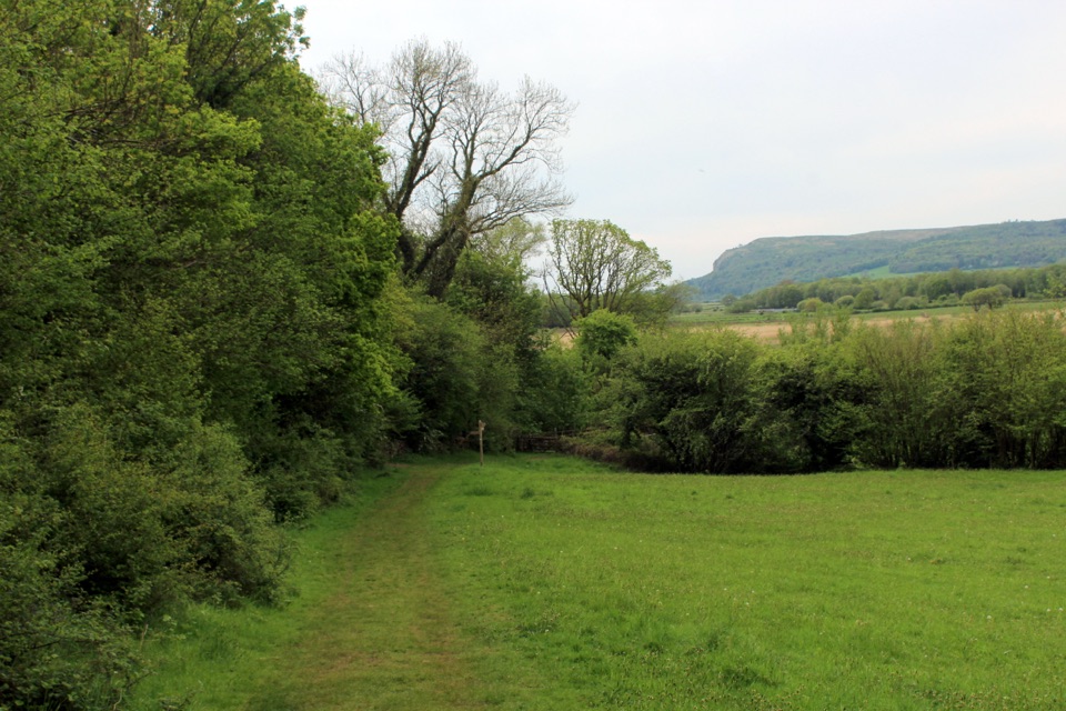
Lake District National Park, EN
Drover's track, ancient woodland and reclaimed wetland with a bird hide
Overview
Map & elevation
Plan your hike

The highest, rockiest slopes around here are a summer buffet for grizzly bears.
Lake District Tour Guide
Parkwolf is a GPS audio tour guide for Lake District National Park. As you drive, it chimes in with what’s ahead: hidden gems, upcoming stops, history, geology, and wildlife, right through your car’s speakers.
Recorded for this trailhead
Sizergh: House, Garden and Holeslack“You're approaching Sizergh, where a medieval house and a garden full of different spaces make a rewarding stop together.”
Plays as you drive up to this trailhead in the Parkwolf Lake District Tour Guide.
More stories near here in the app
“Fantastic app with many points of information… It’s great to just turn on while you’re driving and it gives you an audio tour of the national Park. We love it!!!!”


Trail guide
A circular loop of 2.8 miles (4.48 km) total, allowing about 3 hours at an unhurried pace with stops. Elevation along the mapped line ranges from roughly 11 m to 123 m, so expect steady undulation rather than one long climb.
The walk leaves the estate car park through historic parkland, climbs into ancient woodland and Brigsteer Park Wood, then drops toward the Park End Moss wetland, where an optional bird hide offers a sheltered viewing point. The return threads past Park End Farm, Holeslack and Rash Spring Wood, saving open views over the wetland and out toward Morecambe Bay for the later stages.
Some paths are steep, and the ground is muddy or uneven in places, including a spring crossing. Boots with grip are sensible year round. The loop is not suitable for wheelchairs or prams.
Ashbank Lane runs as an old drover's track, edged by limestone stoops and large sweet chestnuts, with charcoal burning platforms still readable as flat shelves in the woodland floor. Park End Moss was degraded farmland reshaped into a wetland habitat and is popular with a variety of bird species, best appreciated from the hide.
Start from the Sizergh Castle car park. Dogs are welcome on a lead throughout, given the farmland and wildlife. For a shorter and easier outing, the nearby Holeslack Access Trail covers 1.2 miles on the same estate and is the better choice for anyone wanting firm, level going.
Wildlife
 81 sightingsRed DeerMost seen around 7 PMSighting map
 13 sightingsEurasian OtterMost seen around 6 AMSighting map
 76 sightingsOspreyMost seen around 8 AMSighting map
 51 sightingsEuropean BadgerMost seen around 8 PMSighting map
 233 sightingsMute SwanMost seen around 6 PMSighting map
 176 sightingsGrey HeronMost seen around 7 AMSighting map
Sighting maps show where each species has been reported across Lake District. Wildlife moves, so no sighting is guaranteed.
Keep exploring
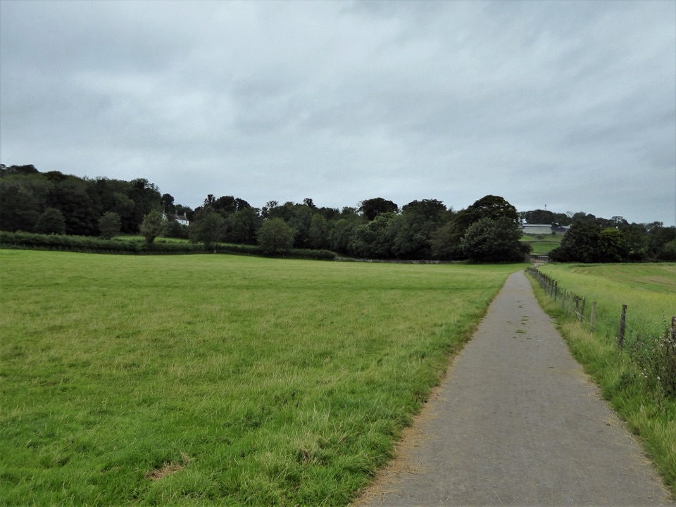 EasySizergh and Holeslack Wood1.9 km · 1 hr · 0.1 km awaySurfaced woodland loop past ancient trees, orchard and a historic farm
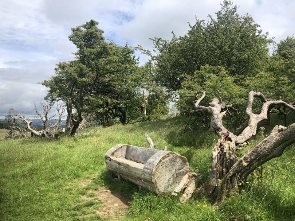 ModerateSizergh Fell Walk4 km · 1.8 hr · 0.1 km awayShort grassy climb to a bench with Morecambe Bay and fells
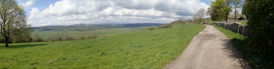 EasyChurch Fell Walk at Sizergh4 km · 2 hr · 0.1 km awayA 2.5-mile farmland loop to a church viewpoint over the Lyth Valley
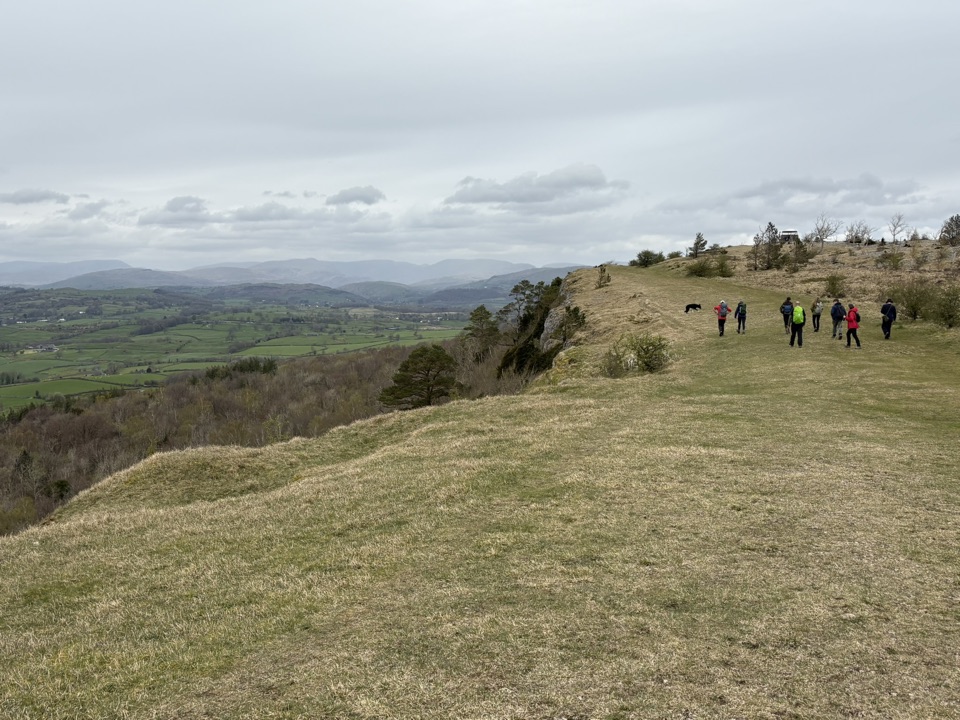 ModerateScout Scar1.8 km · 30 min · 4.7 km awayShort steep climb to a limestone rim with wide fell views
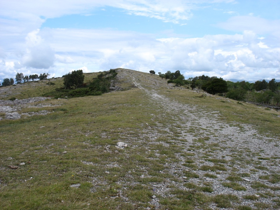 ModerateWhitbarrow Scar and Lord's Seat10.8 km · 4 hr · 6 km awayCairned limestone pavement to a memorial summit above the Kent Estuary
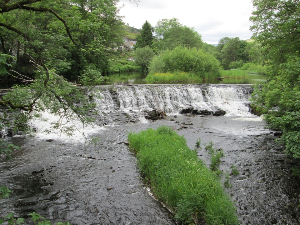 EasyStaveley Riverside1.5 km · 30 min · 10.8 km awayLevel riverside mile past an 1853 weir, dippers and mill history
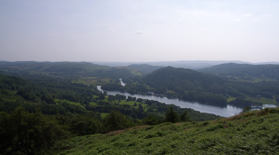 ModerateGummer's How2.4 km · 45 min · 10.8 km awayShort, steep pull to a trig point with wide southern-lakes views
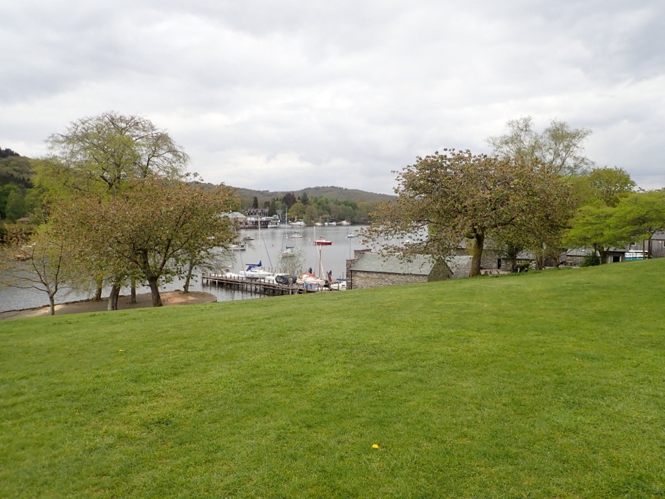 EasyFell Foot Circular Heritage Trail2.6 km · 1 hr · 11.7 km awayLakeshore lawns, wildflower meadow and Gothic boathouses on a gentle loop
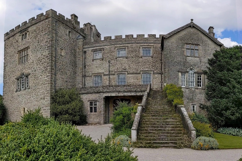 Sight · 0.1 km awaySizerghA medieval house wrapped in brilliant gardens and wildlife-rich walks
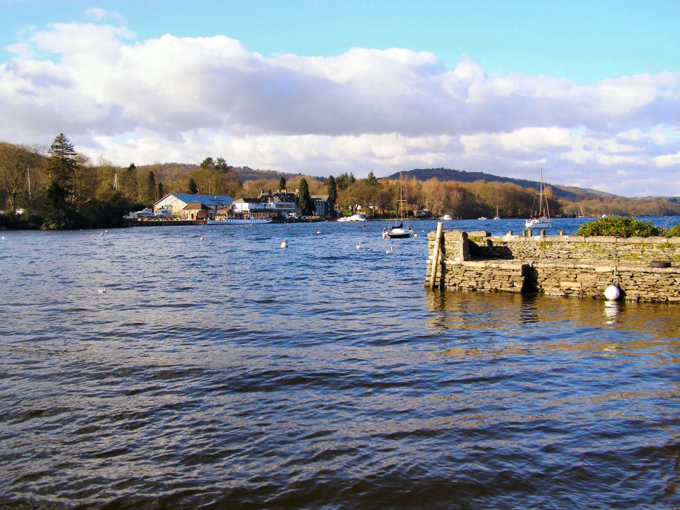 Sight · 11.8 km awayFell FootVictorian boathouses, open lawns, and easy access to Windermere
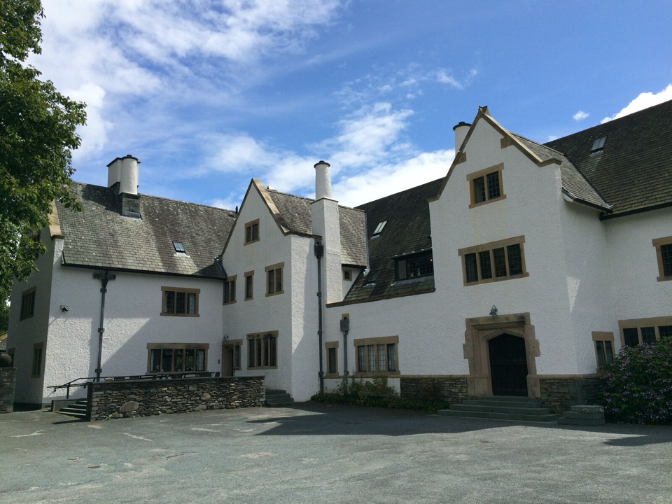 Sight · 11.8 km awayBlackwell, the Arts & Crafts HouseA fully preserved Arts & Crafts house above Windermere
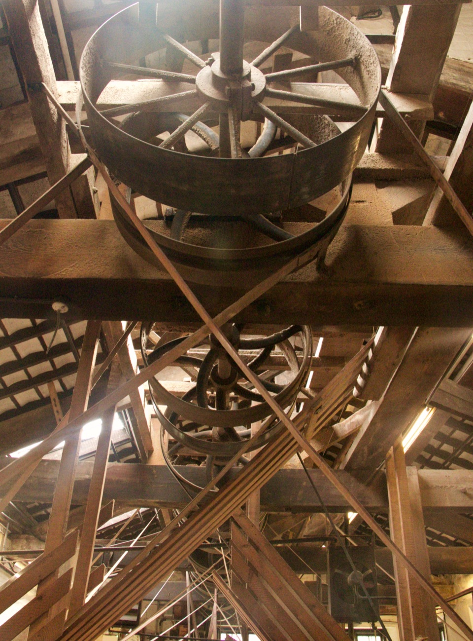 Sight · 12.6 km awayStott Park Bobbin MillClattering belts and bobbins bring Lakeland's last working mill to life
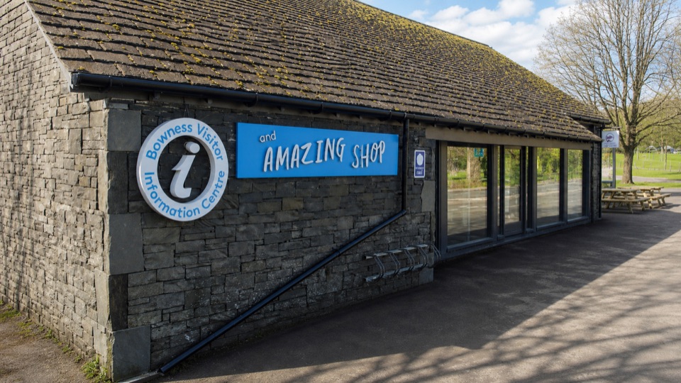 Visitor center · 13.1 km awayBowness on Windermere Information Centre and CaféThe practical lakefront base for Windermere maps, trips, and walks
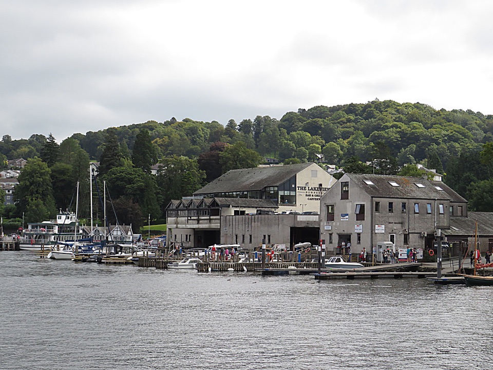 Sight · 13.1 km awayBowness-on-WindermereA lively lakefront town and launch point for Windermere
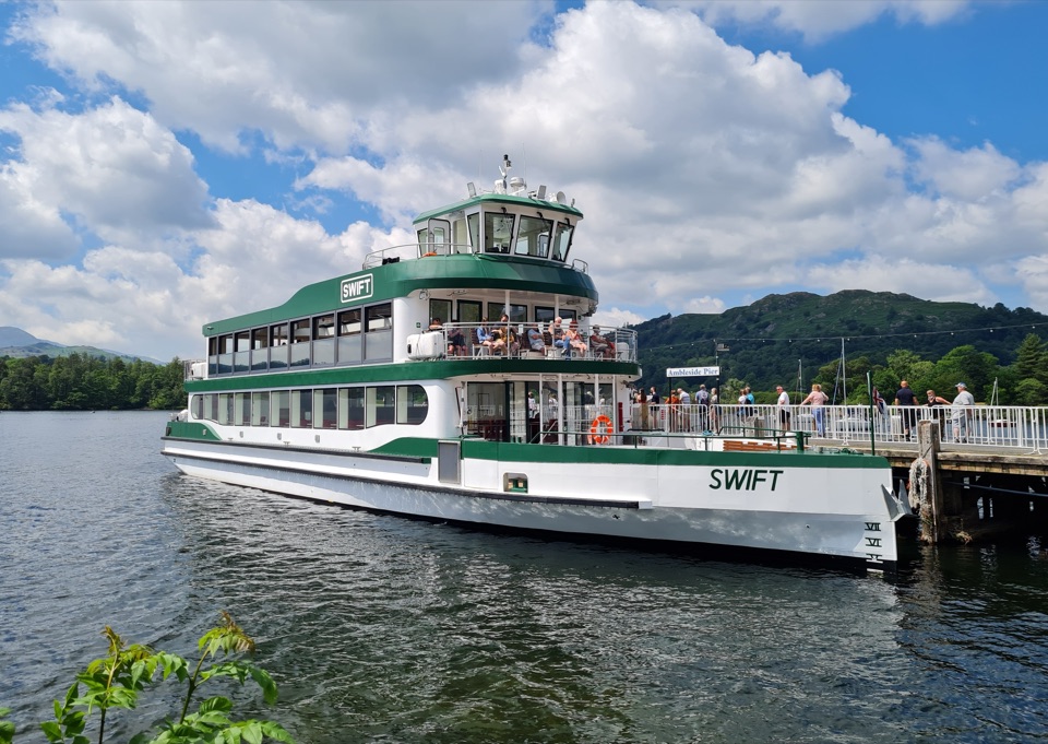 Sight · 13.2 km awayWindermere Lake CruisesClassic cruises turn Windermere into a day-long mountain panorama
 Sight · 13.2 km awayThe World of Beatrix Potter AttractionWalk through Beatrix Potter's stories in detailed 3D scenes
Parkwolf’s Lake District ranking

The audio tour guide for the drive, plus offline maps, trails, and wildlife heatmaps for when the signal drops.





