Parking
Use the informal roadside lay-by at the Beck Head and Mill Side turn, just off the A590 and across the cattle grid. It holds roughly half a dozen cars. Do not block the lane or continue beyond the bridleway no-parking sign.
Lake District National Park, EN
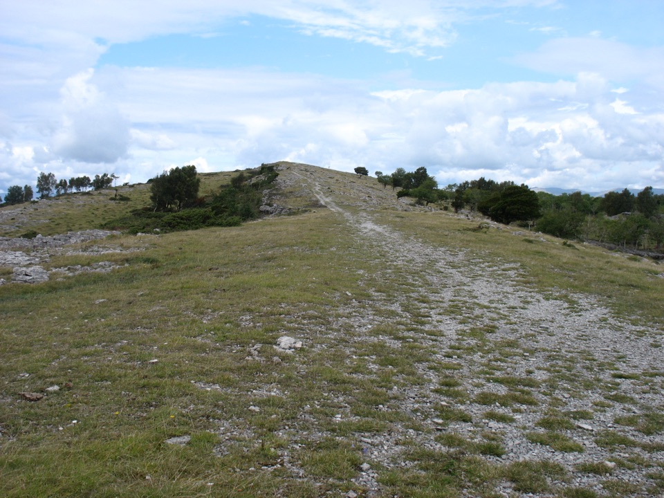
Cairned limestone pavement to a memorial summit above the Kent Estuary
Overview
Map & elevation
Plan your hike

The highest, rockiest slopes around here are a summer buffet for grizzly bears.
Lake District Tour Guide
Parkwolf is a GPS audio tour guide for Lake District National Park. As you drive, it chimes in with what’s ahead: hidden gems, upcoming stops, history, geology, and wildlife, right through your car’s speakers.
Recorded for this trailhead
Whitbarrow Scar: Limestone and Estuary Views“You're nearing the Mill Side access for Whitbarrow Scar, where a quieter walk takes you from woodland onto an open limestone plateau.”
Plays as you drive up to this trailhead in the Parkwolf Lake District Tour Guide.
More stories near here in the app
“Fantastic app with many points of information… It’s great to just turn on while you’re driving and it gives you an audio tour of the national Park. We love it!!!!”


Trail guide
A 6.7 mile (10.8 km) loop from the tiny hamlet of Mill Side, and that total includes the lane walking at each end, the woodland climb, the full traverse of the Scar to Lord's Seat, the Bell Rake descent and the return through the woods. Allow around 4 hours at a normal walking pace, more if you stop often on the open top.
Call it moderate to hard, around 5 out of 10, but nothing technical. The ascent through the woods is sustained, the top is rough limestone pavement with scree in places, and the Bell Rake descent is steep, loose and slippery when wet. Boots with real grip and ankle support are the right call. The woodland return can be muddy and narrow. There is an old mine level near the top of Bell Rake; do not enter it.
The cairns do most of the work along the Scar, but the section just after Lord's Seat toward Bell Rake is faint and worth taking slowly. Carry a 1:25,000 map and know how to use it, because the plateau looks similar in every direction and the high ground is open to wind and weather with no shelter. In low cloud this is a navigation exercise rather than a stroll.
The rock is Carboniferous limestone laid down around 350 million years ago, now exposed as pavement, low crags and scree, which is why both the walking surface and the plant life are unusual. The reserve on top covers about 100 hectares. Depending on season you may see early purple orchids, primrose, hoary rock rose and blue moor-grass in spring, dark-red helleborine orchids and fritillary butterflies in summer, heather and roe deer in autumn, and fieldfare and redwing in winter, with skylark and wheatear possible year round. Livestock graze the reserve, so expect sheep and gates.
Start from the informal roadside layby at the Beck Head and Mill Side turn just off the A590, across the cattle grid. It holds roughly half a dozen cars, so arrive early and park considerately without blocking the lane. Dogs are allowed on the access route and on most of the reserve, on a lead or under genuinely close control near wildlife and grazing stock, and take waste away with you.
Scout Scar nearby gives comparable limestone edge views with far less effort. If you only want the summit, the short Lord's Seat outing reaches the cairn without the Bell Rake descent or the long woodland return.
Wildlife
 81 sightingsRed DeerMost seen around 7 PMSighting map
 13 sightingsEurasian OtterMost seen around 6 AMSighting map
 76 sightingsOspreyMost seen around 8 AMSighting map
 51 sightingsEuropean BadgerMost seen around 8 PMSighting map
 233 sightingsMute SwanMost seen around 6 PMSighting map
 176 sightingsGrey HeronMost seen around 7 AMSighting map
Sighting maps show where each species has been reported across Lake District. Wildlife moves, so no sighting is guaranteed.
Keep exploring
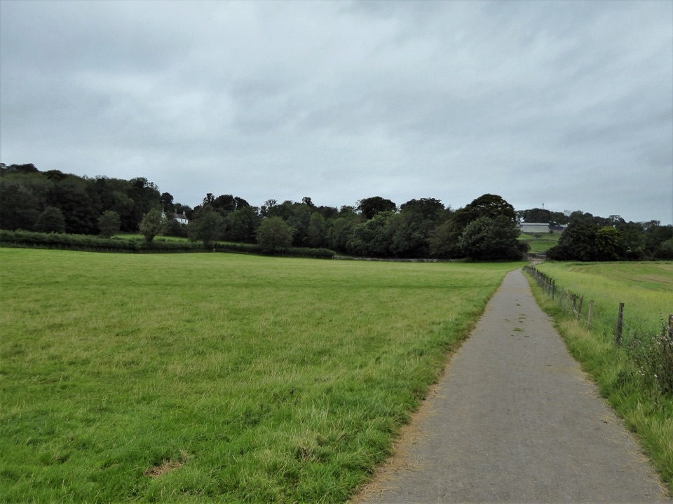 EasySizergh and Holeslack Wood1.9 km · 1 hr · 6 km awaySurfaced woodland loop past ancient trees, orchard and a historic farm
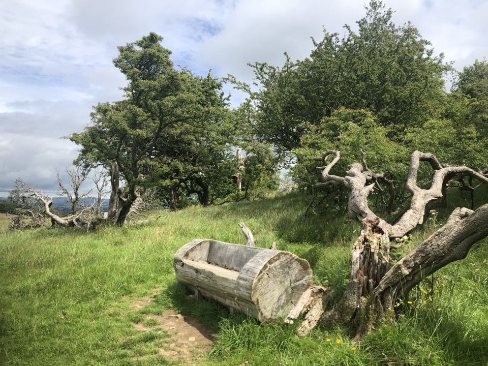 ModerateSizergh Fell Walk4 km · 1.8 hr · 6 km awayShort grassy climb to a bench with Morecambe Bay and fells
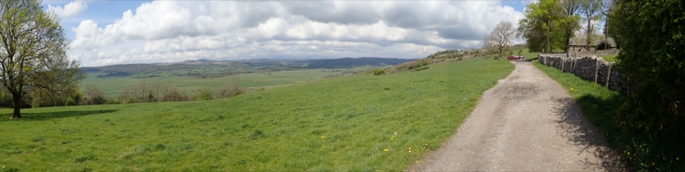 EasyChurch Fell Walk at Sizergh4 km · 2 hr · 6 km awayA 2.5-mile farmland loop to a church viewpoint over the Lyth Valley
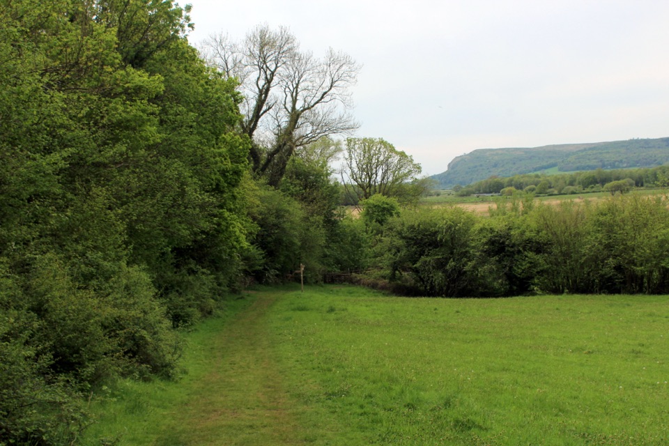 ModeratePark End Moss Wetland Walk at Sizergh4.5 km · 3 hr · 6 km awayDrover's track, ancient woodland and reclaimed wetland with a bird hide
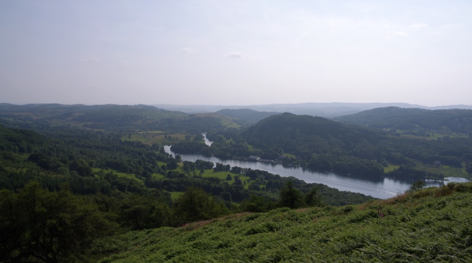 ModerateGummer's How2.4 km · 45 min · 7.2 km awayShort, steep pull to a trig point with wide southern-lakes views
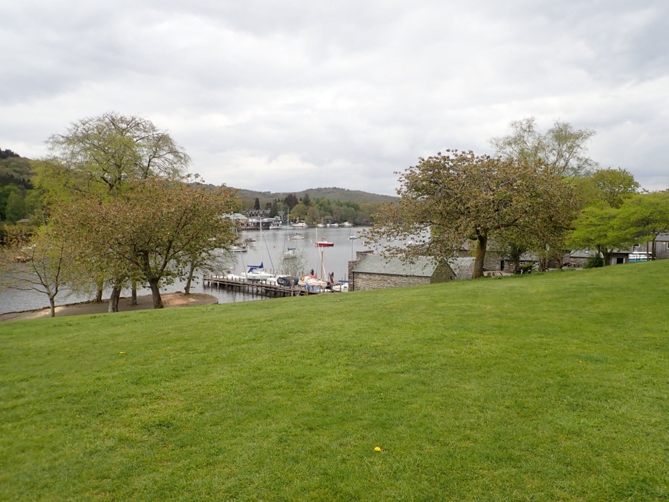 EasyFell Foot Circular Heritage Trail2.6 km · 1 hr · 7.7 km awayLakeshore lawns, wildflower meadow and Gothic boathouses on a gentle loop
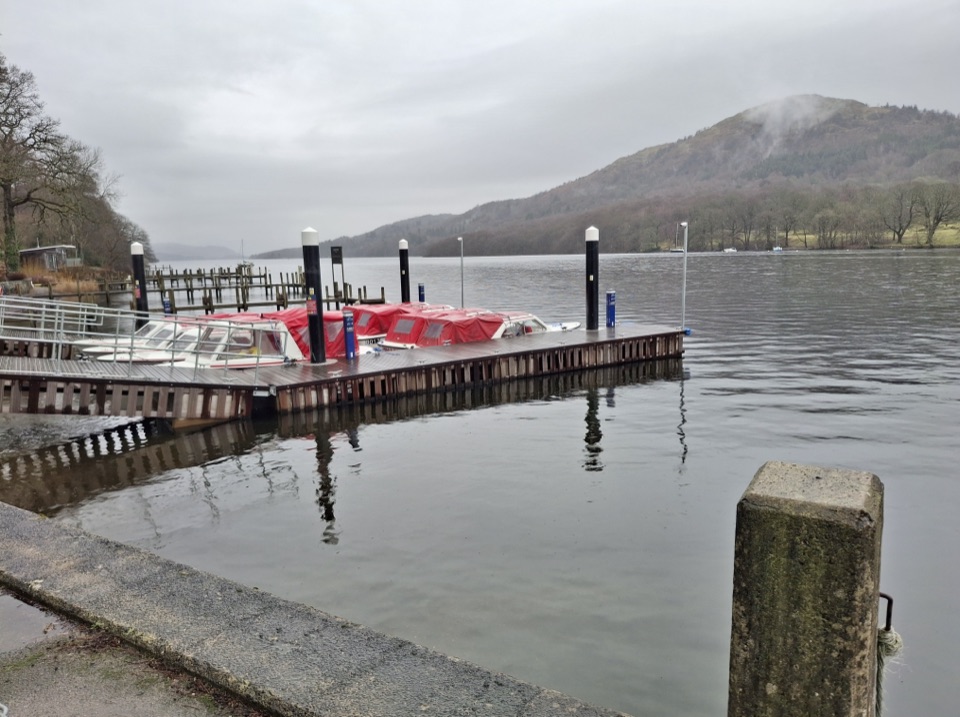 ModerateWest Windermere Way5.9 km · 2.5 hr · 8.6 km awayA short route blending lakeshore, railway, woodland, and fell views
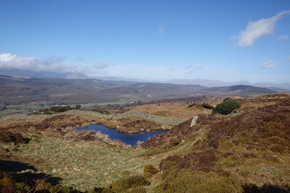 ModerateGreenwood Trail 3: Bobbin Mill to High Dam, Yewbarrow and Finsthwaite10 km · 4.5 hr · 9 km awayBobbin Mill to High Dam loop: tarn boardwalk, then open fell views
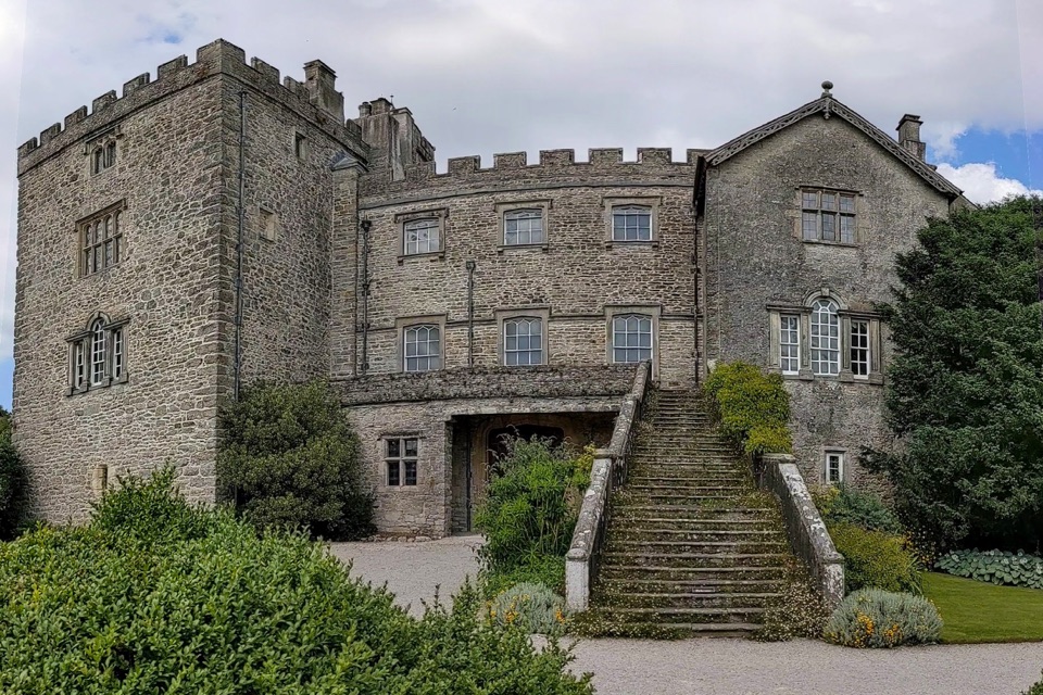 Sight · 6.1 km awaySizerghA medieval house wrapped in brilliant gardens and wildlife-rich walks
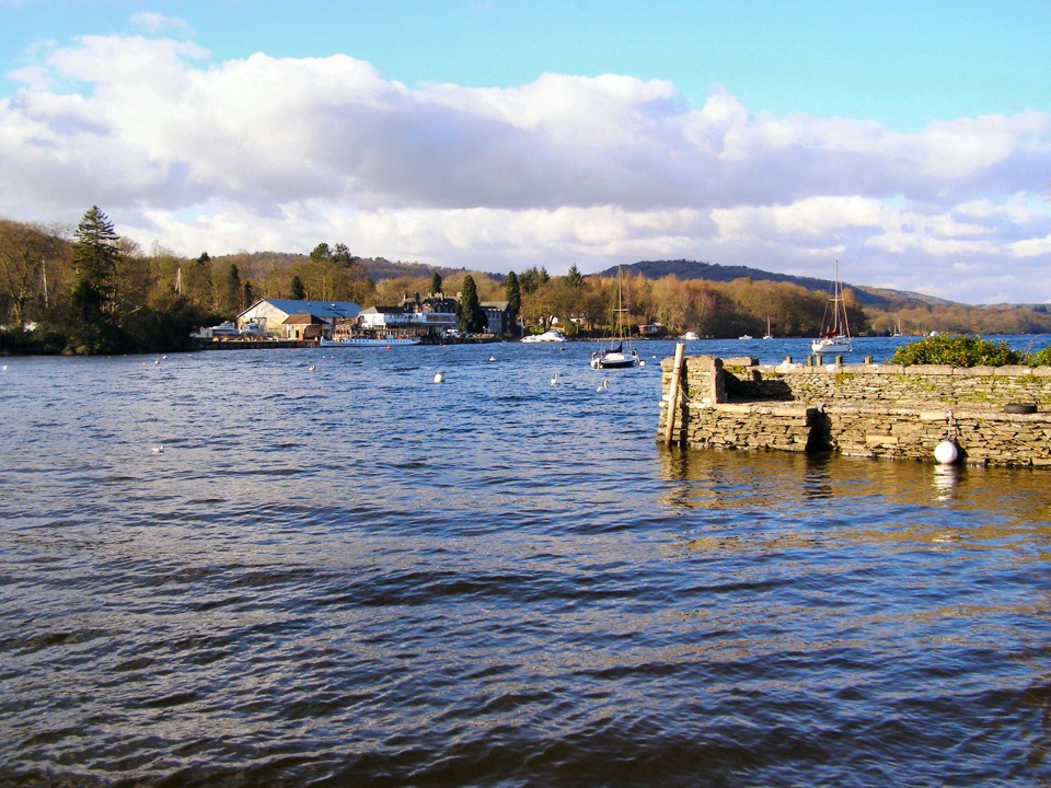 Sight · 7.8 km awayFell FootVictorian boathouses, open lawns, and easy access to Windermere
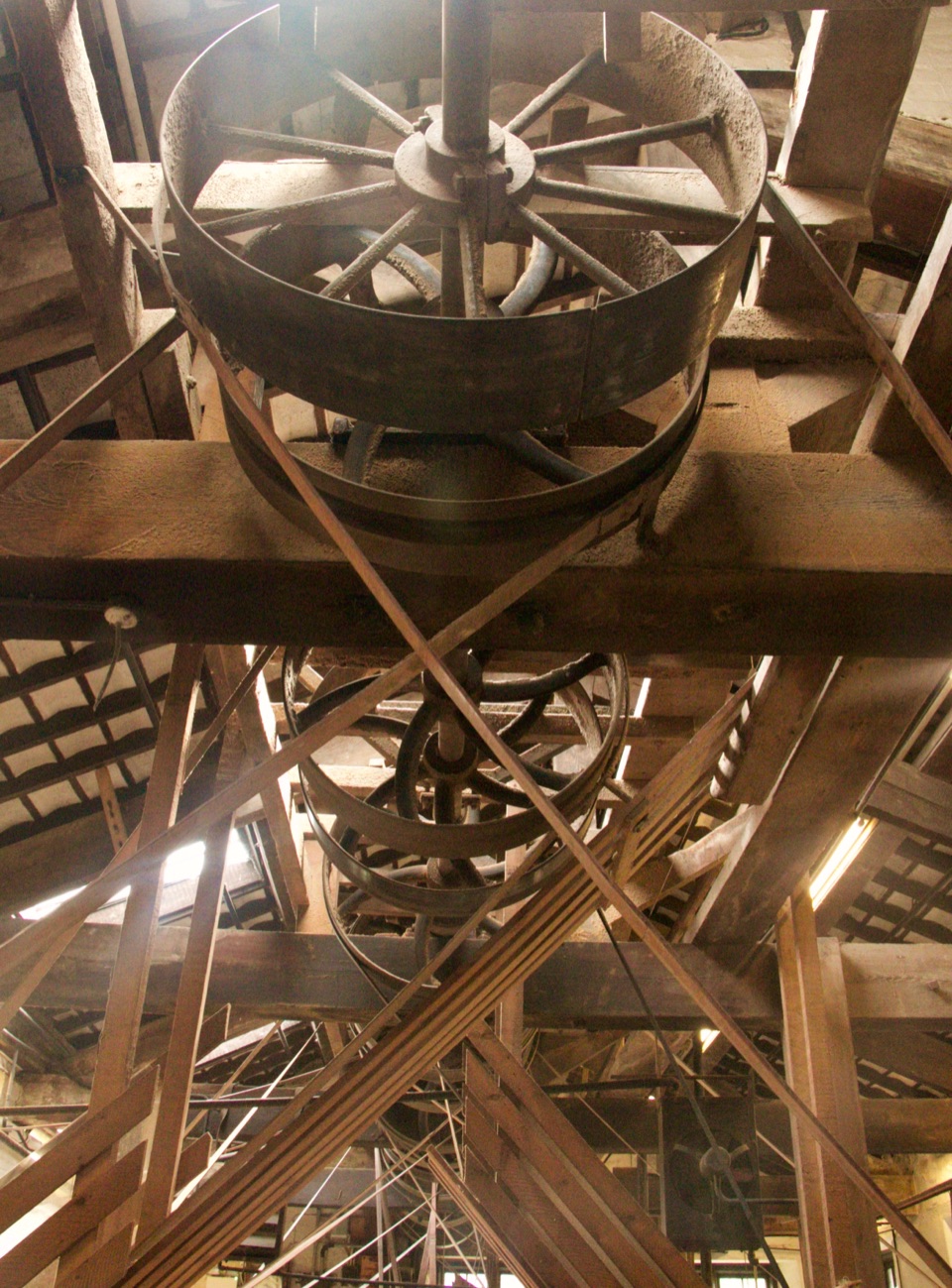 Sight · 9 km awayStott Park Bobbin MillClattering belts and bobbins bring Lakeland's last working mill to life
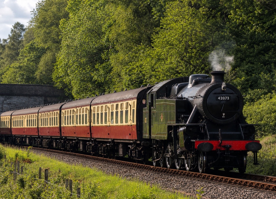 Sight · 10.2 km awayLakeside and Haverthwaite RailwayA steam-era ride through the Leven Valley to Windermere's shore
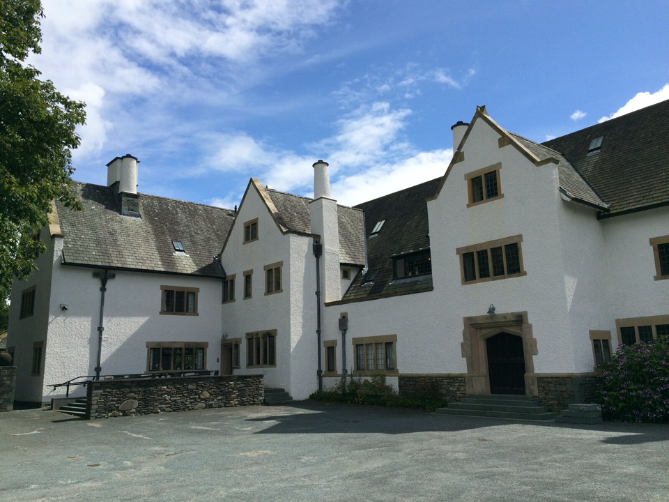 Sight · 11.8 km awayBlackwell, the Arts & Crafts HouseA fully preserved Arts & Crafts house above Windermere
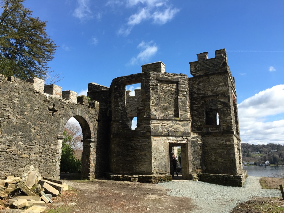 Sight · 13.2 km awayClaife Viewing StationA restored 1790s viewpoint with colour-framed Windermere views
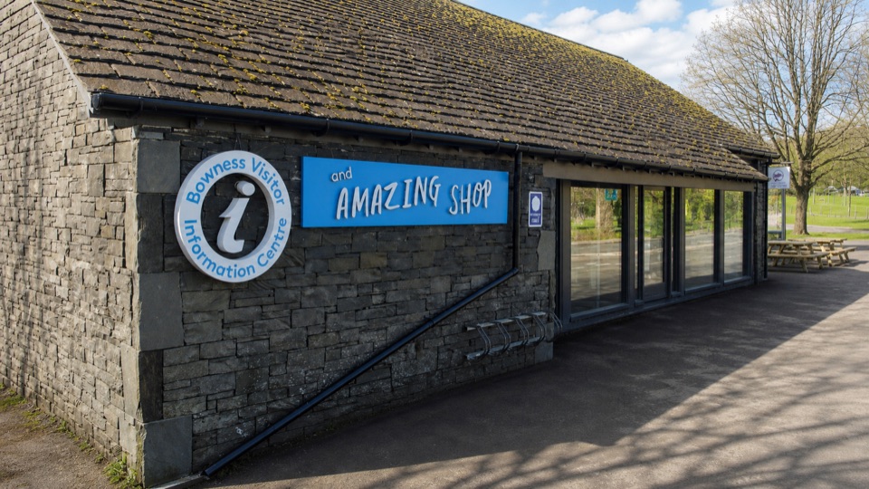 Visitor center · 13.7 km awayBowness on Windermere Information Centre and CaféThe practical lakefront base for Windermere maps, trips, and walks
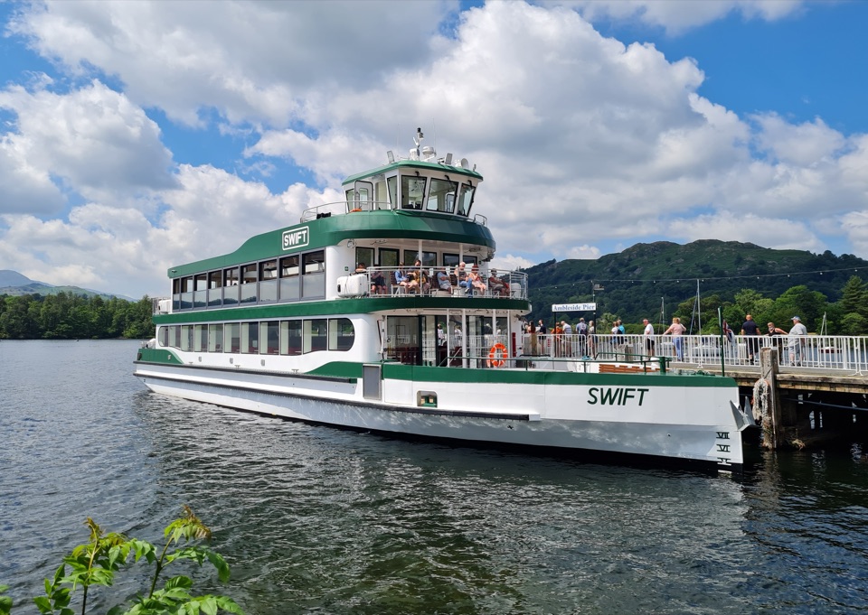 Sight · 13.8 km awayWindermere Lake CruisesClassic cruises turn Windermere into a day-long mountain panorama
Parkwolf’s Lake District ranking

The audio tour guide for the drive, plus offline maps, trails, and wildlife heatmaps for when the signal drops.





