Parking
Follow the brown signs to Fell Foot from the A590 or A592, one mile north of Newby Bridge. Start from the North/Main Car Park; paths lead downhill to the cafe and lakeshore. Stagecoach 6 stops at Fell Foot Country Park at the entrance.
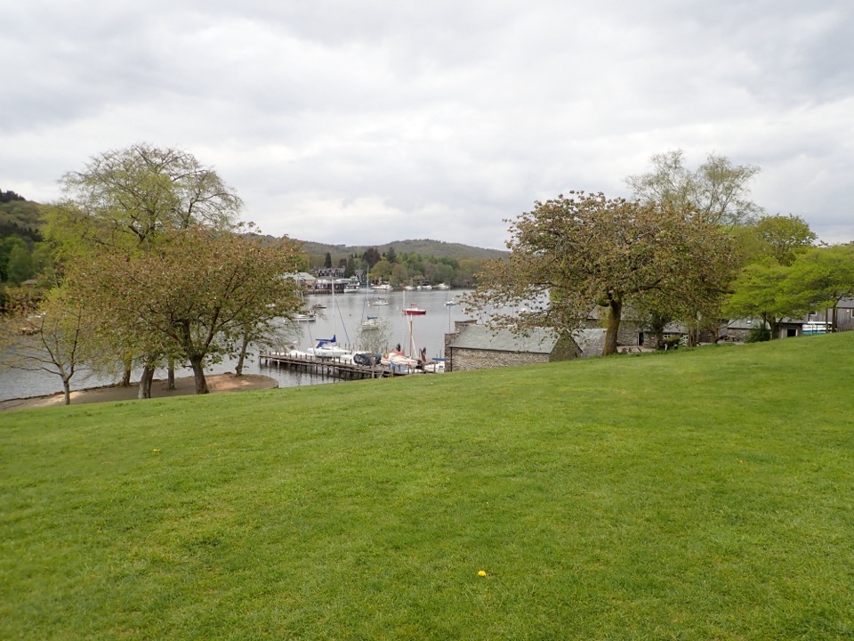
Lake District National Park, EN
Lakeshore lawns, wildflower meadow and Gothic boathouses on a gentle loop
Overview
Map & elevation
Plan your hike

The highest, rockiest slopes around here are a summer buffet for grizzly bears.
Lake District Tour Guide
Parkwolf is a GPS audio tour guide for Lake District National Park. As you drive, it chimes in with what’s ahead: hidden gems, upcoming stops, history, geology, and wildlife, right through your car’s speakers.
Recorded for this trailhead
Fell Foot: Boathouses and Lakeshore“You're nearing Fell Foot, where lawns run down to the southern end of Windermere for a picnic or a gentle lakeside walk.”
Plays as you drive up to this trailhead in the Parkwolf Lake District Tour Guide.
More stories near here in the app
“Fantastic app with many points of information… It’s great to just turn on while you’re driving and it gives you an audio tour of the national Park. We love it!!!!”


Trail guide
A circular lollipop walk of 1.6 miles (2.5 km) for the complete loop, starting and finishing at the North/Main Car Park. It stays inside the historic estate the whole way, so there is no road link or connector to add on. Allow around an hour at an easy pace, or longer if you stop by the water.
From the main car park you cross the upper lawns and pleasure grounds on hard paths, then drop down stone steps to the lower park and the lakeshore. Paths and mown grass lead you through the wildflower south meadow to the southern tip, where Windermere narrows and becomes the River Leven. You trace the meadow loop, come back through the park to the shore, pass the Victorian Gothic boathouse complex and the Boathouse Cafe, then finish with a short, steeper stone climb back up to the car park.
Easy overall, and low-level throughout, with roughly 28 m of ascent and a gently undulating feel. Two things stop it being effortless: two steeper slopes and the stone steps between the upper and lower park. Surfaces are a mix of hard and gravel paths plus grass, and the grass and loose gravel can be uneven or muddy. This is not a step-free or fully wheelchair accessible route. If you need an easier surface, the separate 0.8 km short loop is the accessible option here, and all-terrain wheelchairs can be booked in advance.
The lower lakeside path and the grass beside the lake can flood after heavy rain or when the lake is high. If a section is under water, turn back and use the higher park paths rather than wading or skirting through soft ground.
The payoff is variety in a very small distance: landscaped pleasure grounds and gardens laid out around a villa from the late 18th and early 19th centuries, Victorian planting, three piers and five Gothic boathouses, open lake views, reedbeds, and the quiet moment where the lake becomes a river. The south meadow is at its best in summer before the annual cut. Spring brings migrant birds, and water rails are sometimes heard or seen in the reedbeds, though nothing is guaranteed.
Start at the North/Main Car Park, Newby Bridge, LA12 8NN, reached from the A590 and A592. Paths from the car parks run downhill to the cafe and lakeshore. There are toilets at the main car park, and the Boathouse Cafe sits by the lake.
Dogs are welcome on leads in the main park, on the lawns and at the cafe. In the south meadow they may go off lead only when cattle are not grazing. Keep them close around livestock and ground-nesting birds.
Treat this as a gentle heritage and parkland walk with lake views, not a fell day out. If you want height and rough ground, look to the longer routes along the western side of Windermere instead.
Wildlife
 81 sightingsRed DeerMost seen around 7 PMSighting map
 13 sightingsEurasian OtterMost seen around 6 AMSighting map
 76 sightingsOspreyMost seen around 8 AMSighting map
 51 sightingsEuropean BadgerMost seen around 8 PMSighting map
 233 sightingsMute SwanMost seen around 6 PMSighting map
 176 sightingsGrey HeronMost seen around 7 AMSighting map
Sighting maps show where each species has been reported across Lake District. Wildlife moves, so no sighting is guaranteed.
Keep exploring
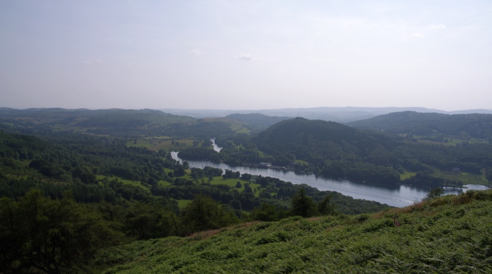 ModerateGummer's How2.4 km · 45 min · 1.1 km awayShort, steep pull to a trig point with wide southern-lakes views
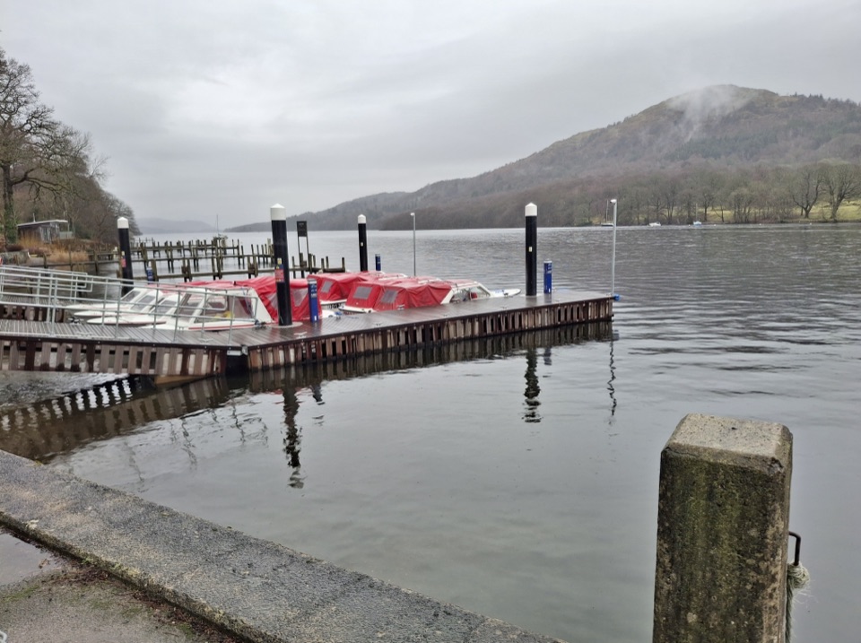 ModerateWest Windermere Way5.9 km · 2.5 hr · 1.3 km awayA short route blending lakeshore, railway, woodland, and fell views
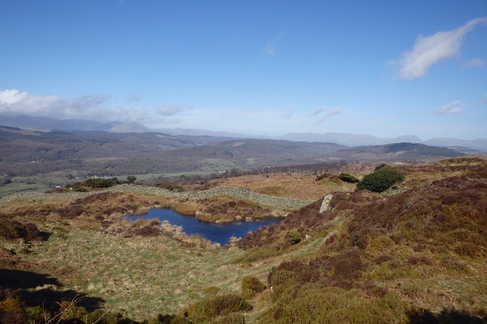 ModerateGreenwood Trail 3: Bobbin Mill to High Dam, Yewbarrow and Finsthwaite10 km · 4.5 hr · 1.5 km awayBobbin Mill to High Dam loop: tarn boardwalk, then open fell views
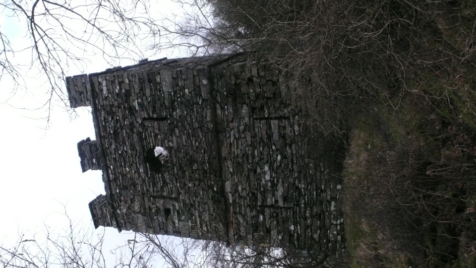 ModerateFinsthwaite Tower and The Knott5.6 km · 1.8 hr · 1.5 km awayA short woodland loop to a 1799 naval memorial tower
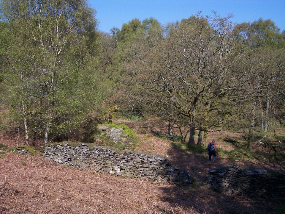 ModerateGreenwood Trail 2: Haverthwaite Heights and Abbots Reading4.8 km · 1.8 hr · 4.7 km awayA muddy woodland circuit with a rewarding farm detour
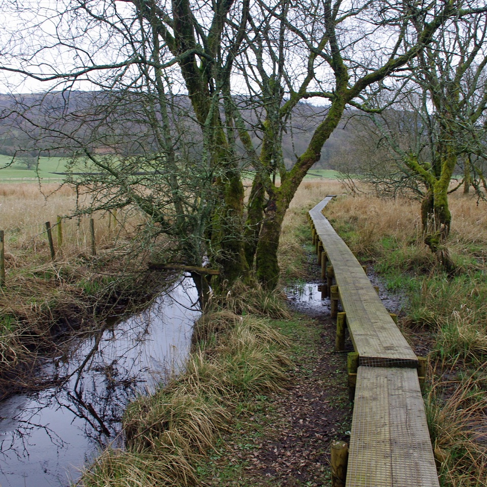 ModerateGreenwood Trail 1: Old Hall Farm to Rusland Moss and Hay Bridge8.7 km · 4.5 hr · 5.7 km awayA 5.4-mile loop over raised bog boardwalks, coffin road and quiet lanes
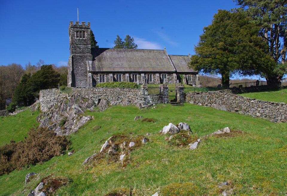 ModerateSatterthwaite and Rusland9.6 km · 3.5 hr · 5.7 km awayForges, ancient woodland and a hilltop church on a rolling forest loop
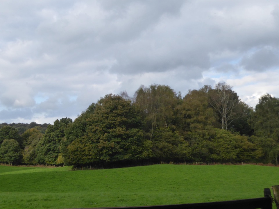 ModerateRusland Valley and Yewbarrow13.7 km · 4.5 hr · 6 km awayGunpowder tramway, tidal river fields, ancient yews and open fell views
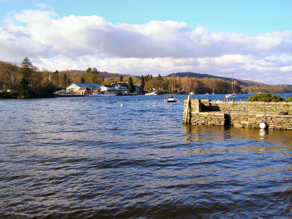 Sight · 0.2 km awayFell FootVictorian boathouses, open lawns, and easy access to Windermere
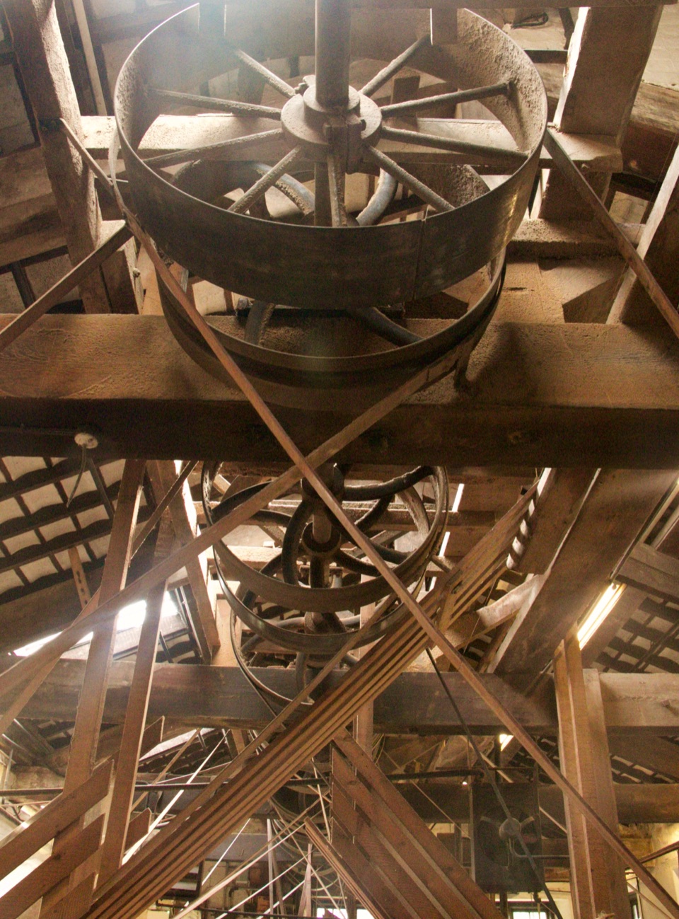 Sight · 1.5 km awayStott Park Bobbin MillClattering belts and bobbins bring Lakeland's last working mill to life
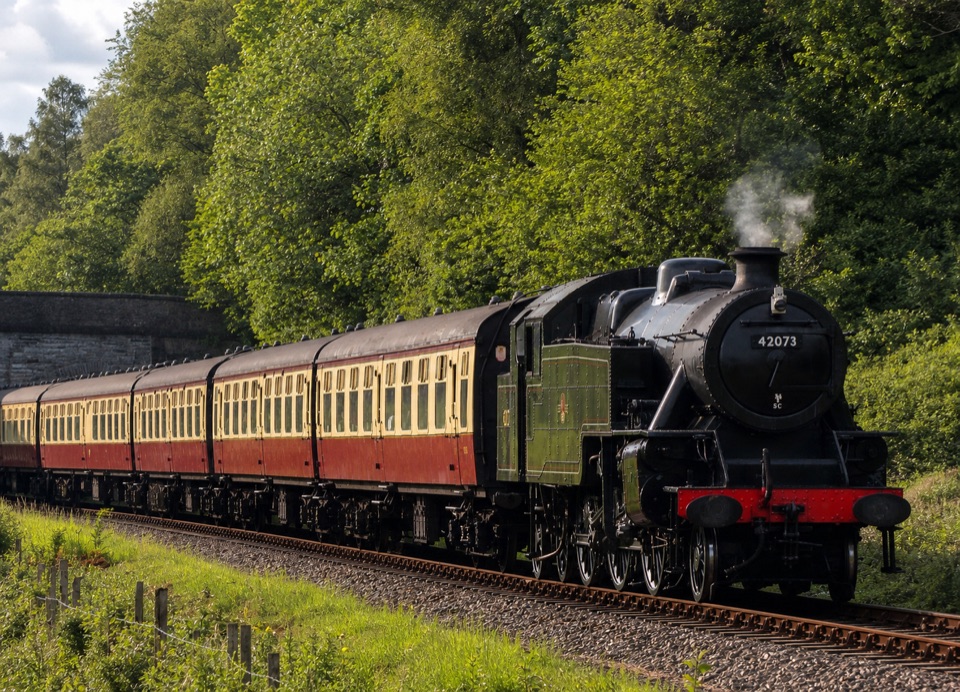 Sight · 4.2 km awayLakeside and Haverthwaite RailwayA steam-era ride through the Leven Valley to Windermere's shore
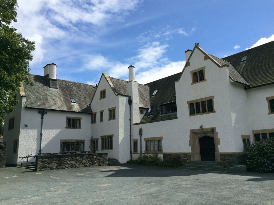 Sight · 7.9 km awayBlackwell, the Arts & Crafts HouseA fully preserved Arts & Crafts house above Windermere
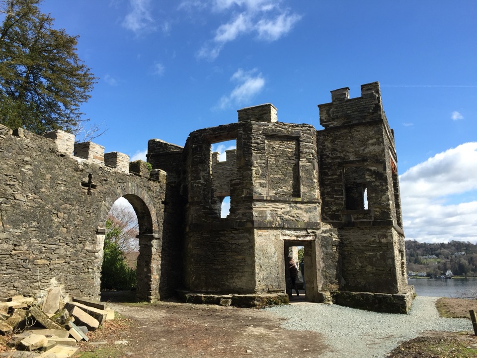 Sight · 8.5 km awayClaife Viewing StationA restored 1790s viewpoint with colour-framed Windermere views
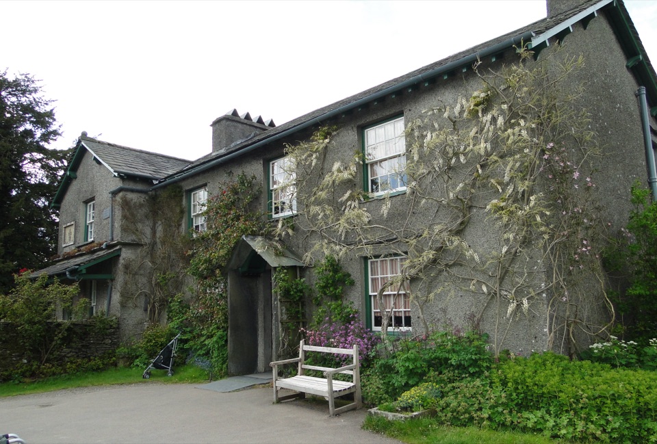 Sight · 8.7 km awayHill TopStep inside Beatrix Potter's farmhouse and the stories it inspired
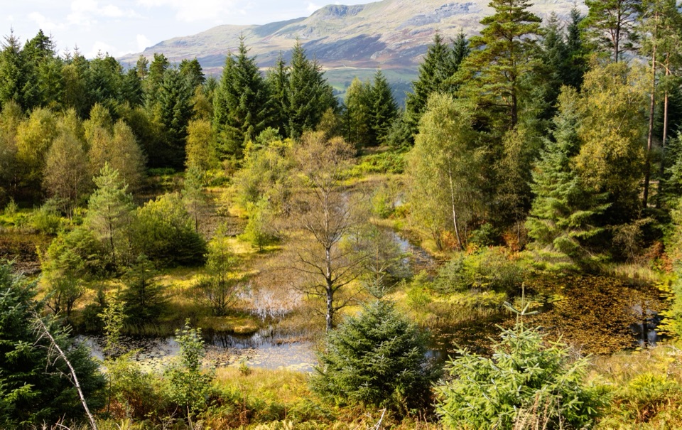 Sight · 8.7 km awayGrizedale ForestSculptures, trails, and mountain views fill this working forest
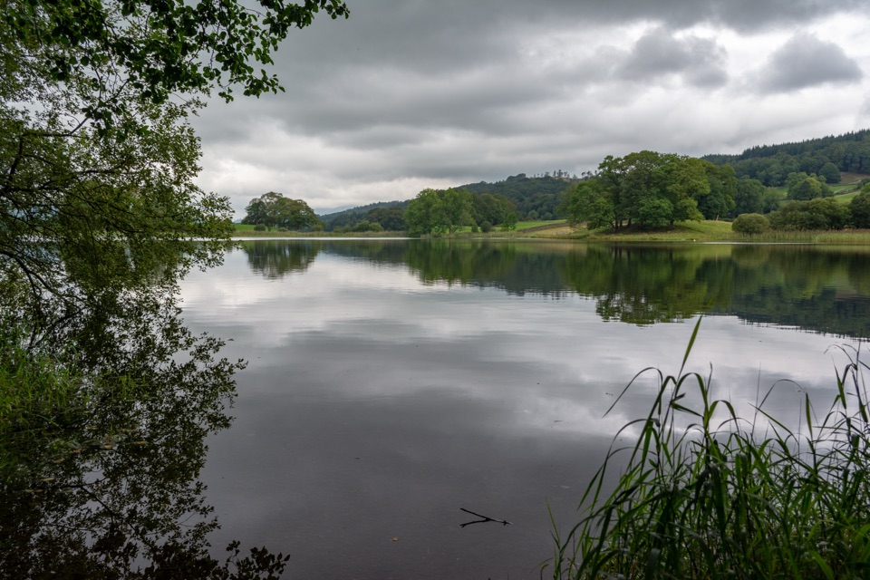 Sight · 9.6 km awayEsthwaite WaterA quiet lake for fell reflections, wildlife, and slow waterside walks
Parkwolf’s Lake District ranking

The audio tour guide for the drive, plus offline maps, trails, and wildlife heatmaps for when the signal drops.





