Parking
Gummers How Car Park is reached from the A592 via Fell Foot Brow, about half a mile uphill. The Forestry England lot is free and has roughly 20 spaces.
Lake District National Park, EN
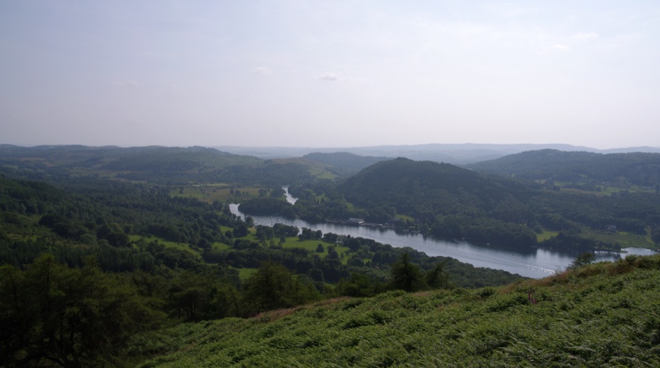
Short, steep pull to a trig point with wide southern-lakes views
Overview
For a walk this short, the view is out of proportion to the effort: Lake Windermere and Lakeside below, the southern lake country spread out, the surrounding Lakeland fells, and on a clear day a long look toward the coast and the eastern hills. The summit is properly open, so there is nothing blocking the panorama.
 Parkwolf’s verdictThe payoff
Map & elevation
Plan your hike

The highest, rockiest slopes around here are a summer buffet for grizzly bears.
Lake District Tour Guide
Parkwolf is a GPS audio tour guide for Lake District National Park. As you drive, it chimes in with what’s ahead: hidden gems, upcoming stops, history, geology, and wildlife, right through your car’s speakers.
Recorded for this trailhead
Gummer's How: A Short Summit Walk“You're coming up on the walking access for Gummer's How, a short climb with a surprisingly big view over Windermere. I'd choose this stop if you want a proper fell summit without setting aside half the day.”
Plays as you drive up to this trailhead in the Parkwolf Lake District Tour Guide.
More stories near here in the app
“Fantastic app with many points of information… It’s great to just turn on while you’re driving and it gives you an audio tour of the national Park. We love it!!!!”


Trail guide
A circular loop of 1.5 miles (about 2.4 km) round trip, starting and finishing at the access path beside Gummers How Car Park. Allow about 45 minutes at an ordinary pace, including time to stand about at the top. That total distance covers the whole loop, out and back, not just the climb.
From the car park you pick up a clear public footpath that runs through and along the pine plantation, crossing a small stream on the way up. The climb steepens onto stone-pitched steps through the trees, then eases onto rougher open ground with one short rocky step near the top. The summit is rocky and heathery with a trig point at 321 m (1,053 ft). The return drops around the west side of the hill on a minor path before rejoining the ascent route back to the car.
Call it moderate-easy, around 4/10. It is not flat, and it is not an accessible path.
Walking shoes or boots are sensible rather than trainers.
Cattle graze the fell, and where they gather they can churn the path into mud, especially on the wooded lower section. Because the walk is short and scenic, expect families and other walkers on fine weekends.
Gummers How Car Park is a free Forestry England car park with roughly 20 spaces. Turn off the A592 onto Fell Foot Brow and drive about half a mile uphill. It is small, so a busy day can fill it, and it is worth having a fallback plan rather than counting on a space. Note this is a separate place from Fell Foot Park down by the lake.
Dogs are allowed on the public footpath. With livestock on the fell, keep them under close control and on a lead around cattle.
Wildlife
 81 sightingsRed DeerMost seen around 7 PMSighting map
 13 sightingsEurasian OtterMost seen around 6 AMSighting map
 76 sightingsOspreyMost seen around 8 AMSighting map
 51 sightingsEuropean BadgerMost seen around 8 PMSighting map
 233 sightingsMute SwanMost seen around 6 PMSighting map
 176 sightingsGrey HeronMost seen around 7 AMSighting map
Sighting maps show where each species has been reported across Lake District. Wildlife moves, so no sighting is guaranteed.
Keep exploring
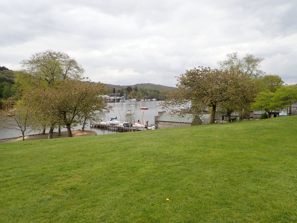 EasyFell Foot Circular Heritage Trail2.6 km · 1 hr · 1.1 km awayLakeshore lawns, wildflower meadow and Gothic boathouses on a gentle loop
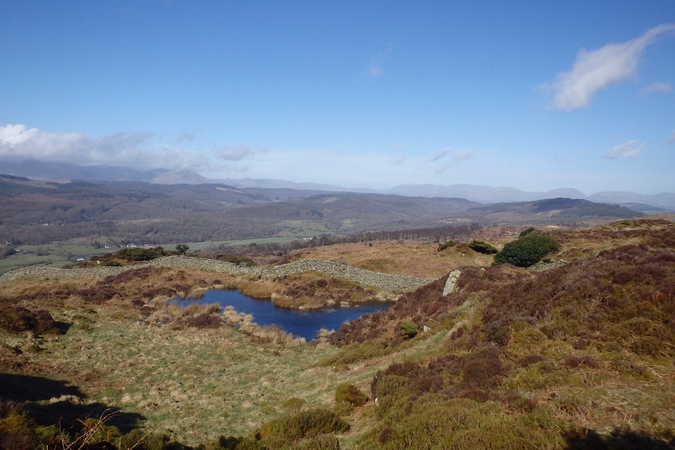 ModerateGreenwood Trail 3: Bobbin Mill to High Dam, Yewbarrow and Finsthwaite10 km · 4.5 hr · 1.8 km awayBobbin Mill to High Dam loop: tarn boardwalk, then open fell views
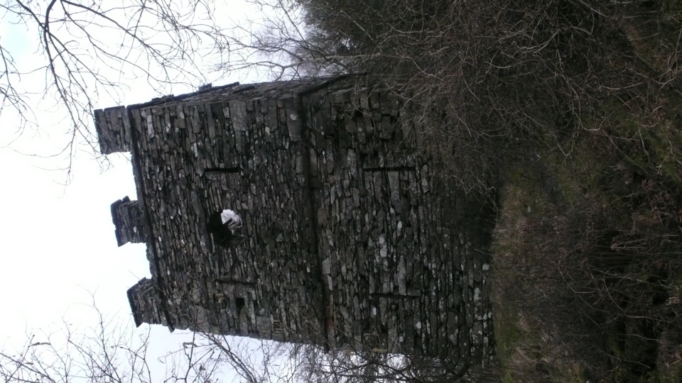 ModerateFinsthwaite Tower and The Knott5.6 km · 1.8 hr · 2.1 km awayA short woodland loop to a 1799 naval memorial tower
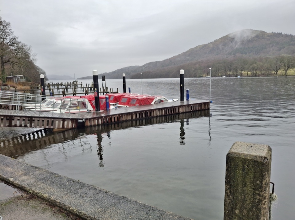 ModerateWest Windermere Way5.9 km · 2.5 hr · 2.4 km awayA short route blending lakeshore, railway, woodland, and fell views
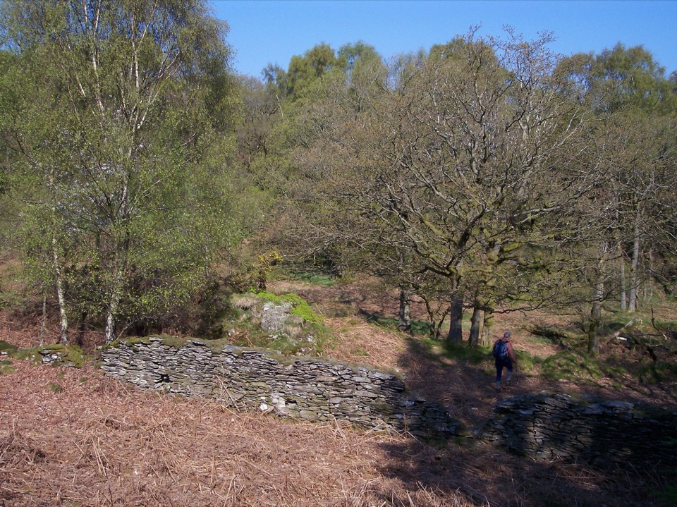 ModerateGreenwood Trail 2: Haverthwaite Heights and Abbots Reading4.8 km · 1.8 hr · 5.7 km awayA muddy woodland circuit with a rewarding farm detour
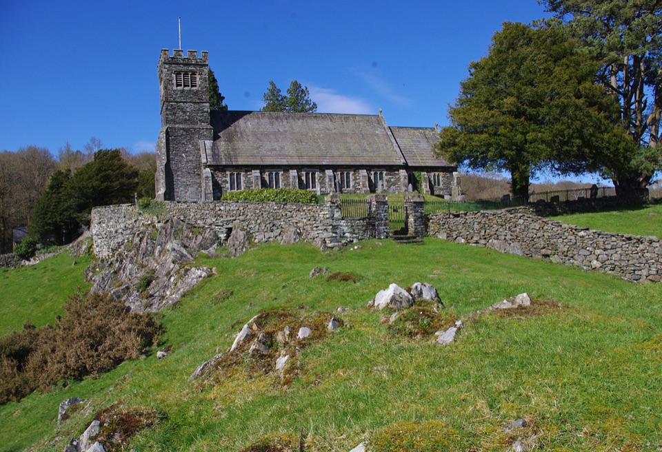 ModerateSatterthwaite and Rusland9.6 km · 3.5 hr · 5.9 km awayForges, ancient woodland and a hilltop church on a rolling forest loop
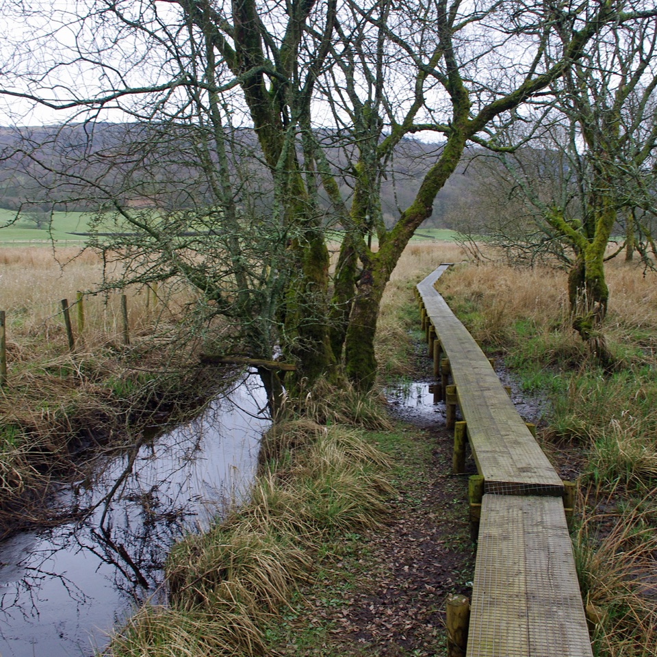 ModerateGreenwood Trail 1: Old Hall Farm to Rusland Moss and Hay Bridge8.7 km · 4.5 hr · 6.7 km awayA 5.4-mile loop over raised bog boardwalks, coffin road and quiet lanes
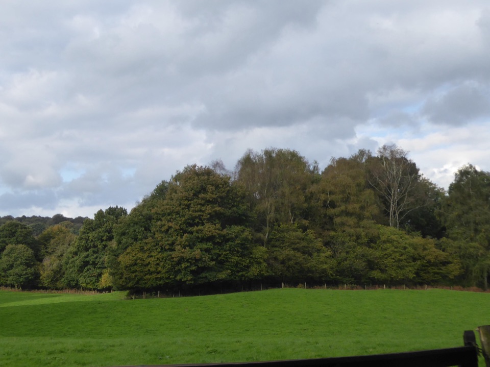 ModerateRusland Valley and Yewbarrow13.7 km · 4.5 hr · 7 km awayGunpowder tramway, tidal river fields, ancient yews and open fell views
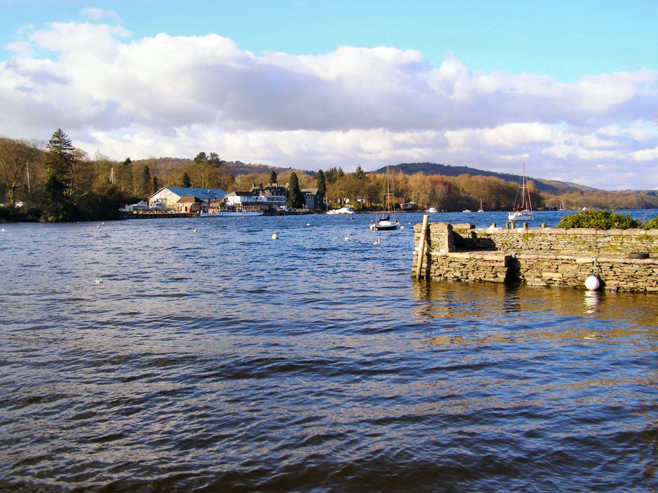 Sight · 1.2 km awayFell FootVictorian boathouses, open lawns, and easy access to Windermere
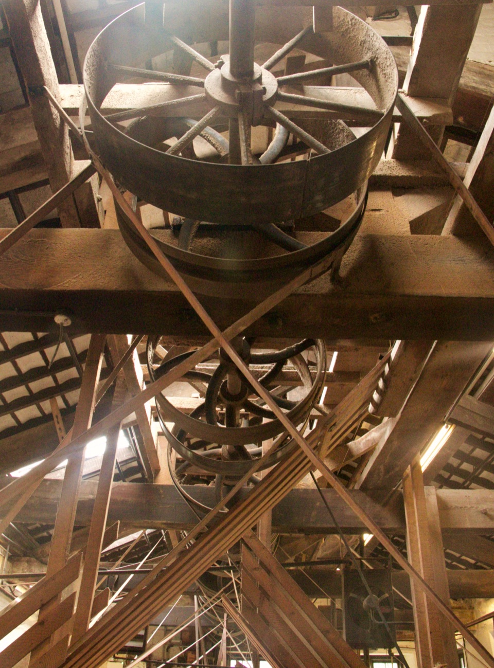 Sight · 1.9 km awayStott Park Bobbin MillClattering belts and bobbins bring Lakeland's last working mill to life
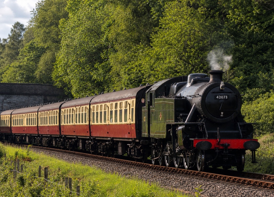 Sight · 5.2 km awayLakeside and Haverthwaite RailwayA steam-era ride through the Leven Valley to Windermere's shore
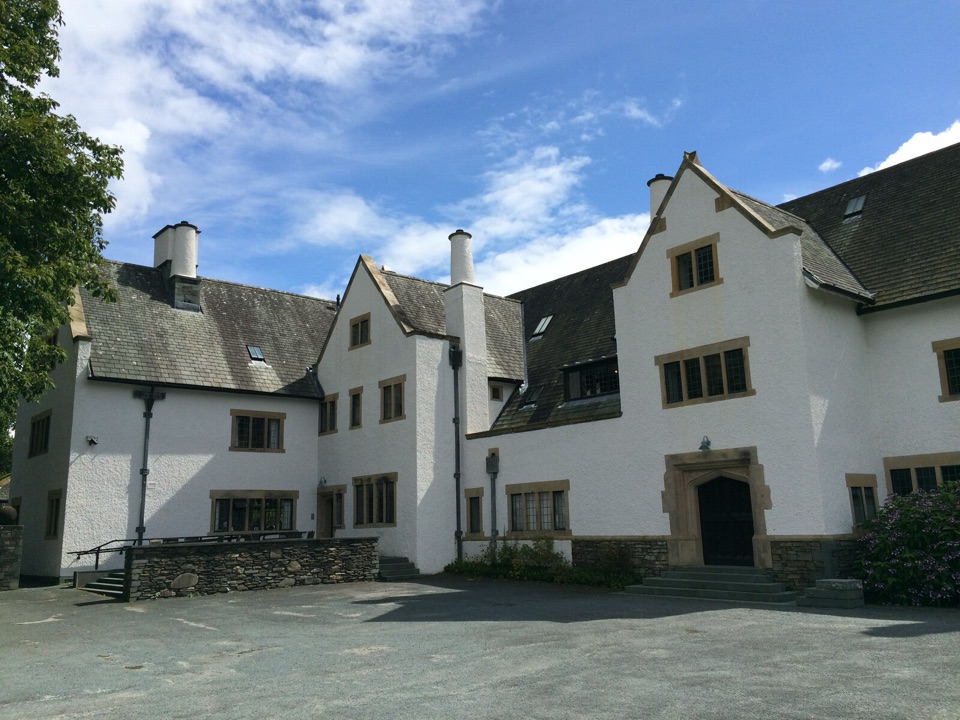 Sight · 7 km awayBlackwell, the Arts & Crafts HouseA fully preserved Arts & Crafts house above Windermere
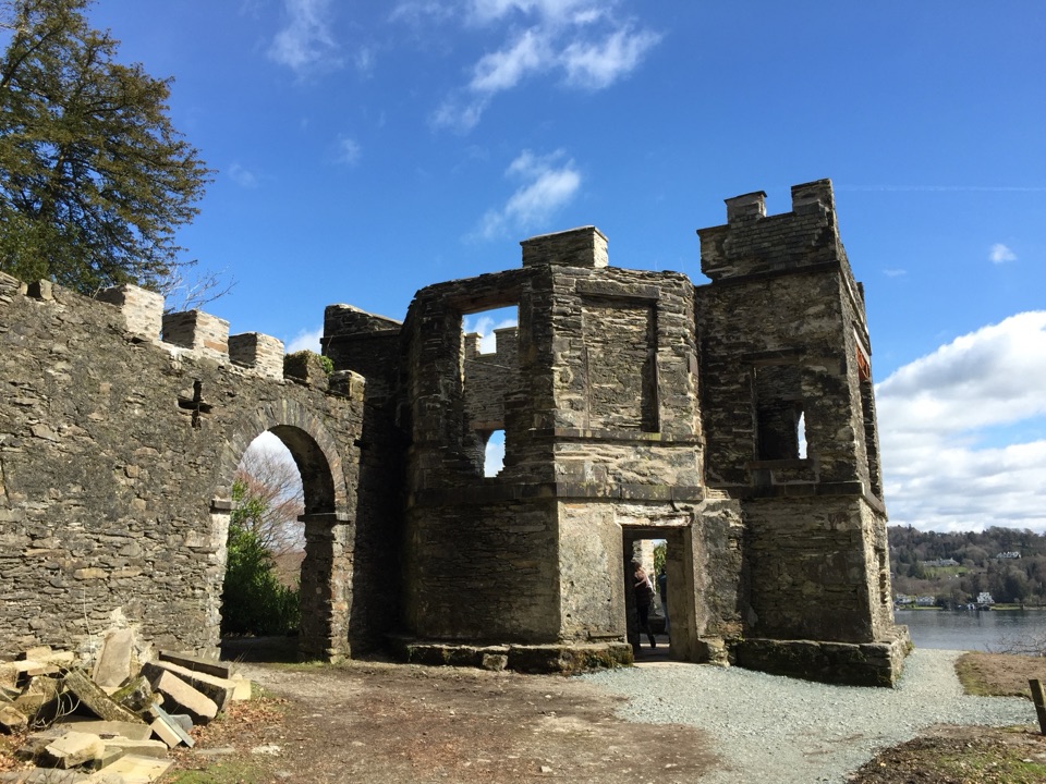 Sight · 7.8 km awayClaife Viewing StationA restored 1790s viewpoint with colour-framed Windermere views
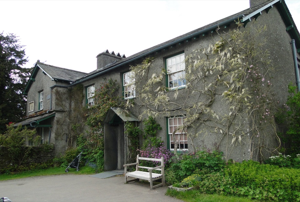 Sight · 8.2 km awayHill TopStep inside Beatrix Potter's farmhouse and the stories it inspired
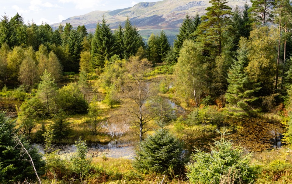 Sight · 8.6 km awayGrizedale ForestSculptures, trails, and mountain views fill this working forest
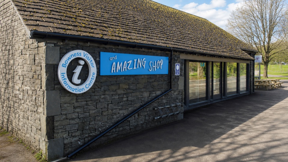 Visitor center · 9.1 km awayBowness on Windermere Information Centre and CaféThe practical lakefront base for Windermere maps, trips, and walks
Parkwolf’s Lake District ranking
The audio tour guide for the drive, plus offline maps, trails, and wildlife heatmaps for when the signal drops.





