Greenwood Trail 3: Bobbin Mill to High Dam, Yewbarrow and Finsthwaite in Lake District National Park

Lake District National Park, EN

Greenwood Trail 3: Bobbin Mill to High Dam, Yewbarrow and Finsthwaite

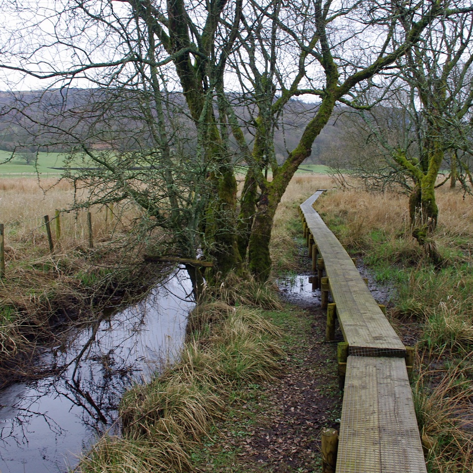
Bobbin Mill to High Dam loop: tarn boardwalk, then open fell views

Photo: Wikimedia Commons
Length
10km
Time
4.5hr
Elev. change
162m
Difficulty
Moderate
  • Loop
  • Dogs allowed
  • High point 227 m

Hear the audio tour

Stott Park Bobbin Mill and High Dam

Overview

About Greenwood Trail 3: Bobbin Mill to High Dam, Yewbarrow and Finsthwaite

Why go

  • High Dam boardwalk and tarn
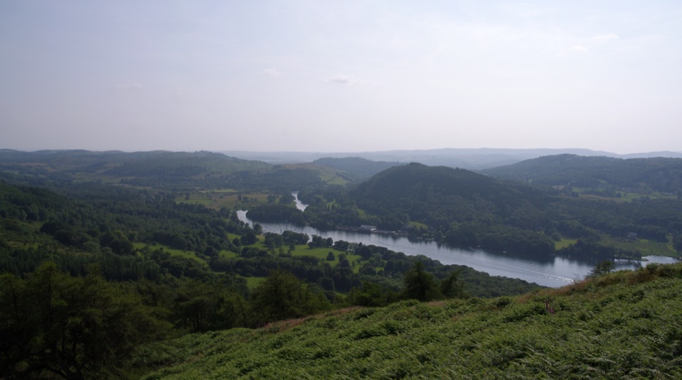
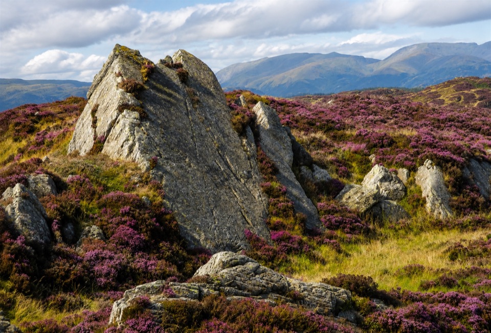
  • Open-fell views over Rusland Valley and the Coniston Fells

Heads up

  • Rough, muddy ground with several stiles and gates
  • Exposed open fell and a slightly indistinct section

Map & elevation

The route

Loading the Lake District map
Full map
Elevation65–227 m
TrailheadStott Park Bobbin Mill top car park54.28545, -2.96564
Keep this map with you offline in the Parkwolf app

Plan your hike

Before you go

Parking

Use the more westerly public-use car park at Stott Park Bobbin Mill, postcode LA12 8AX, when the mill car parks are open. They are open only during Bobbin Mill museum opening times. Otherwise use the Lake District National Park car park at High Dam, which is also an alternative start and shortens the road climb.


Safety

The open fell is exposed to wind and weather, with rough, steep and marshy or muddy ground, stiles and gates. The Rusland Heights section is slightly indistinct in places, so follow the white-topped posts and waymarkers.

8 active Lake District alerts

  • ClosureChapel Stile footpath closed for retaining-wall riskPart of Footpath 543030 between Chapel Stile and Baysbrown campsite is closed because a retaining wall beside the path could collapse and material it supports could fall across the footpath.Official details
  • ClosureStanley Ghyll Lower Falls footpath closed for rockfallThe section of Footpath 408037 leading towards Stanley Ghyll Lower Falls is closed because severe rockfall damage has made the path unstable and further rockfall remains a danger.Official details
See all 8 alerts
A park ranger sits on a dash-mounted phone, talking, as Parkwolf’s Tour Guide plays “Army Cutworm Moths: A Grizzly Bear Buffet” on Grand Loop Road below Dunraven Pass in Yellowstone
Parkwolf Tour GuideThe highest, rockiest slopes around here are a summer buffet for grizzly bears.

Lake District Tour Guide

Your drive to Greenwood Trail 3: Bobbin Mill to High Dam, Yewbarrow and Finsthwaite, narrated.

Parkwolf is a GPS audio tour guide for Lake District National Park. As you drive, it chimes in with what’s ahead: hidden gems, upcoming stops, history, geology, and wildlife, right through your car’s speakers.

Recorded for this trailhead

Stott Park Bobbin Mill and High Dam
0:00 / 1:10
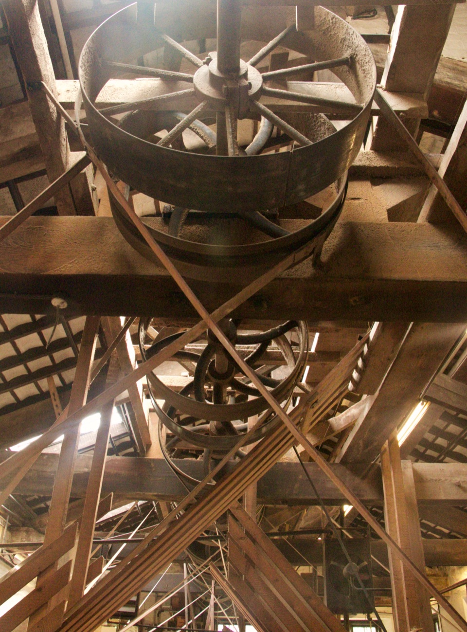
“You're approaching Stott Park Bobbin Mill, where you can watch timber being turned into wooden bobbins on the original machinery.”

Plays as you drive up to this trailhead in the Parkwolf Lake District Tour Guide.

More stories near here in the app

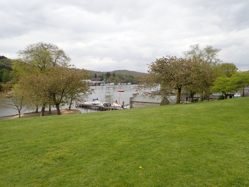
  • Fell Foot: Boathouses and Lakeshore
  • Graythwaite: A Garden That Changed the View
  • Newby Bridge: West Windermere Way
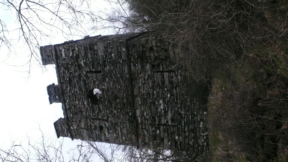
  • Finsthwaite: Woodland and the Tower
  • 298 audio storiesacross Lake District’s roads, triggered by GPS as you drive
  • Wildlife heatmapsfor Red Deer, Eurasian Otter, Osprey, and 13 more
  • Works offlinemaps, 265 trails, 89 places, and audio download before you lose signal
  • CarPlay readysimple controls built for the drive
★★★★★
“Fantastic app with many points of information… It’s great to just turn on while you’re driving and it gives you an audio tour of the national Park. We love it!!!!”
JMJamesApp Store review
Download Parkwolf on the App StoreGet Parkwolf on Google Play

4.7 from 8,600+ ratings

Trail guide

Hiking Greenwood Trail 3: Bobbin Mill to High Dam, Yewbarrow and Finsthwaite

The short versionA circular loop of 6.

A circular loop of 6.2 miles (10 km) starting and finishing at Stott Park Bobbin Mill, postcode LA12 8AX. Allow around 4.5 hours (the official long-route estimate is 4 to 5 hours). Sampled ascent works out at roughly 310 m, spread over rough ground, so this walks harder than the mileage suggests.

Route sequenceRoad climb from the Bobbin Mill car park toward High Dam, passing Low Dam on the way up.
  • Road climb from the Bobbin Mill car park toward High Dam, passing Low Dam on the way up.
  • Along the High Dam wall and around the tarn, crossing two footbridges and the boardwalk section.
  • The long-route path leaves the wall for open fell to a gate and first viewpoint, then continues north and west by white-topped posts to a further viewpoint.
  • Turn south for Rusland Heights, over stiles and rough open fell, then down through a sheltered valley and mixed woodland past a small tarn and gorse to a minor road near Town End.
  • Gates and fields lift you to Finsthwaite Road, then rocky fields and lanes reach Finsthwaite Church, with a road return past Plum Green and High Dam to the start.
Difficulty and footingCall it 6 out of 10: a long moderate-to-hard day, with nothing technical and no scrambling.

Call it 6 out of 10: a long moderate-to-hard day, with nothing technical and no scrambling. The mix is woodland path, open fell, field, minor road and lane, rough in places, sometimes steep, with marshy and muddy stretches. Expect stiles, gates and rocky outcrops. The stretch over Rusland Heights is a little indistinct in places, though marked by white-topped posts and waymarkers, so navigation attention matters. The open fell is fully exposed to wind and weather, with no shelter until you drop back into the valley. Sturdy footwear and a detailed topographic map or mapping app are recommended for this route.

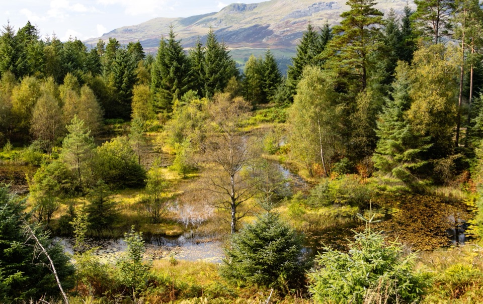
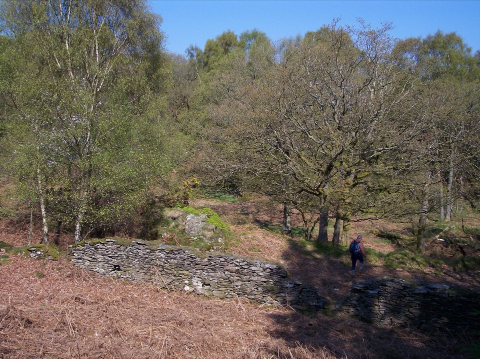
Scenery and payoffHigh Dam and its boardwalk are the early highlight, with the tarn ringed by woodland.

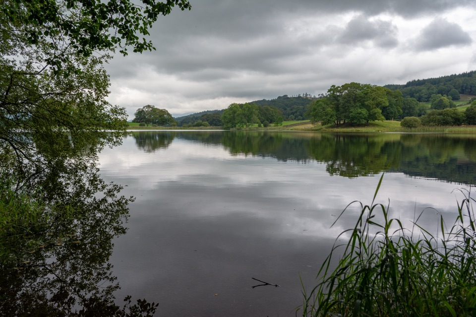
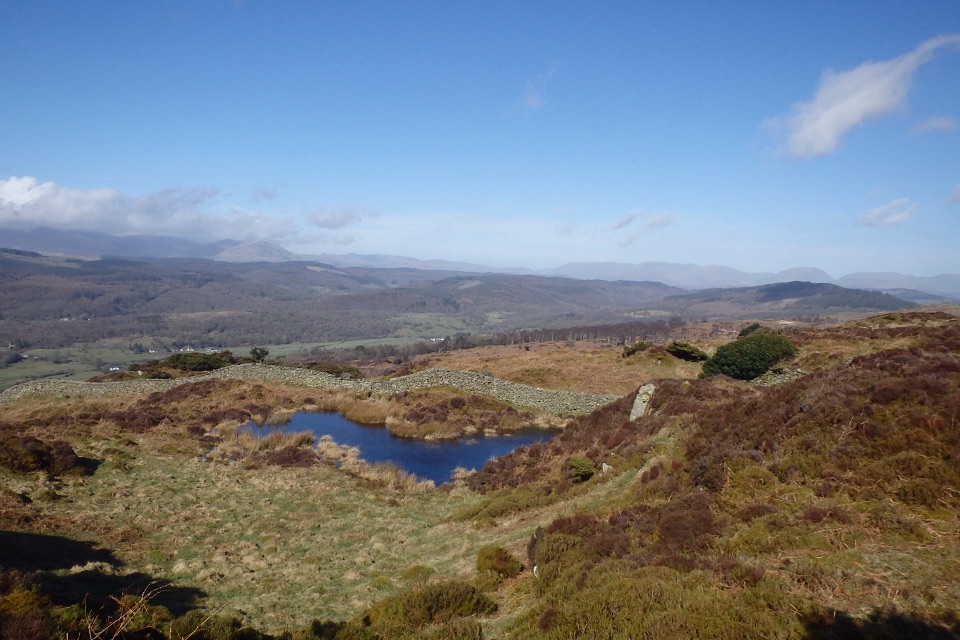
High Dam and its boardwalk are the early highlight, with the tarn ringed by woodland. Higher up, the views open across the Rusland Valley and Grizedale Forest toward the Coniston Fells, and on a clear day the Langdale Pikes come into range. The Rusland Heights and Yew Barrow ground is proper low-fell open country, quiet and spacious, and the Finsthwaite section swaps that for church, lanes and old farmed landscape.

History underfootStott Park Bobbin Mill was built in 1835 and survives as one of the Lakeland bobbin mills.

Stott Park Bobbin Mill was built in 1835 and survives as one of the Lakeland bobbin mills. High Dam was created the same year to supply water power to the mill, and the streams and culverts that fed it are still part of the walk. The surrounding woodland holds charcoal-burning remains, veteran coppiced hazel, crab apple and Scots pine, and the fields you cross carry local historic field names from an older farming pattern.

Flora and wildlifeBog myrtle along the High Dam boardwalk, with dragonflies around the water in warmer months.
  • Bog myrtle along the High Dam boardwalk, with dragonflies around the water in warmer months.
  • Primroses, violets and wood anemone near the boardwalk in spring.
  • A colony of the rare Duke of Burgundy butterfly is recorded on the trails, but treat any sighting as luck rather than expectation.
Access, dogs and rulesStart and park at Stott Park Bobbin Mill, bearing in mind that the mill's two car parks are…

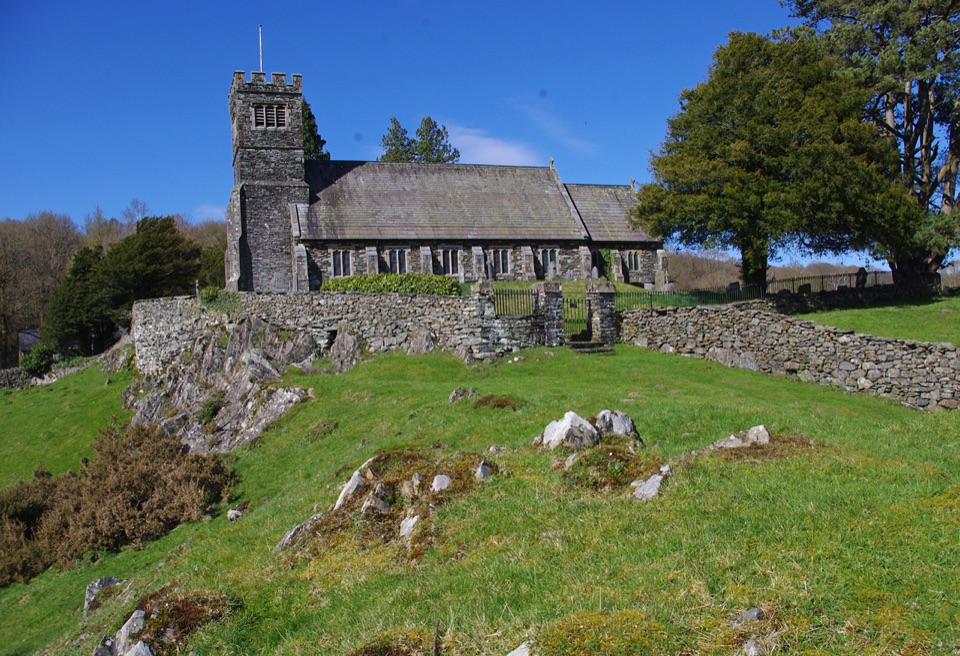
Start and park at Stott Park Bobbin Mill, bearing in mind that the mill's two car parks are open only during Bobbin Mill museum opening times, and that the more westerly of the two is the one the general public may use. When the mill car parks are not open, the Lake District National Park car park at High Dam is the fallback access point, and starting there also shortens the road climb. Museum toilets and refreshments are seasonal, and Lakeside Pier is the nearest alternative for food and drink. The walk itself follows waymarked paths, field routes, open fell and minor lanes, linked by stiles and gates. Dogs are welcome but should be kept under close control through the fields and open fell, and it is worth checking yourself and your dog for ticks afterward.
If this is too muchA shorter High Dam and Finsthwaite option of 2.7 miles (4.

A shorter High Dam and Finsthwaite option of 2.7 miles (4.4 km) covers the tarn and village in a far more compact circuit, which is the sensible pick if the weather closes in or the open fell section does not appeal.

Wildlife

Wildlife in Lake District

All Lake District wildlife maps

Sighting maps show where each species has been reported across Lake District. Wildlife moves, so no sighting is guaranteed.

Keep exploring

Near Greenwood Trail 3: Bobbin Mill to High Dam, Yewbarrow and Finsthwaite

See it all on the map

Trails that start nearby

Places near the trailhead

Parkwolf’s Lake District ranking

Top-rated trails in Lake District

All 265 trails
  1. 1Scafell Pike via Hollow Stones from WasdaleChallenging · 9 km
  2. 2Helvellyn via Striding Edge and Swirral EdgeChallenging · 12.4 km
  3. 3CatbellsModerate · 6.6 km
  4. 4The Old Man of ConistonChallenging · 9 km
  5. 5Buttermere CircularEasy · 7.6 km
  6. 6The Fairfield HorseshoeChallenging · 17.2 km

Take Parkwolf to Lake District.

The audio tour guide for the drive, plus offline maps, trails, and wildlife heatmaps for when the signal drops.

4.7 from 8,600+ ratings

Download Parkwolf on the App StoreGet Parkwolf on Google Play