Parking
Start at roadside access by Seathwaite Farm. Space is very limited and the lane must stay clear for farms and emergency vehicles. If using the Seatoller car park, allow roughly 1 to 1.25 extra miles each way to Seathwaite.
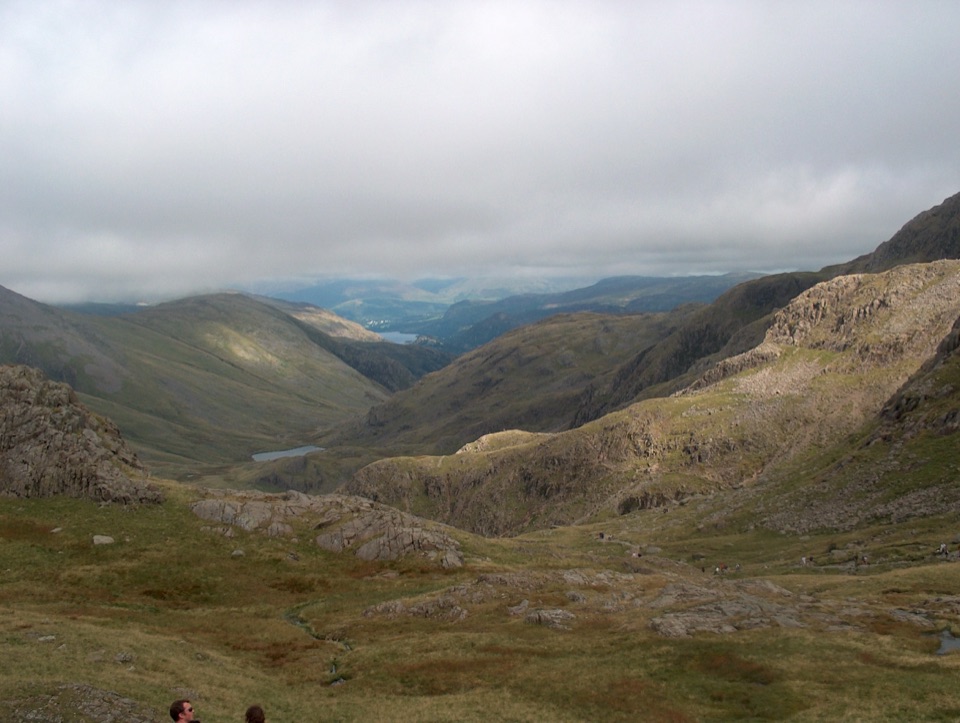
#7 of 265 trails in Lake District
Lake District National Park, EN
Ledges under Great End, a hands-on Bad Step, then England's high point
Overview
Map & elevation
Plan your hike

The highest, rockiest slopes around here are a summer buffet for grizzly bears.
Lake District Tour Guide
Parkwolf is a GPS audio tour guide for Lake District National Park. As you drive, it chimes in with what’s ahead: hidden gems, upcoming stops, history, geology, and wildlife, right through your car’s speakers.
Recorded for this trailhead
Seathwaite and the Corridor Route“You're approaching Seathwaite, the starting point for the Corridor Route up Scafell Pike.”
Plays as you drive up to this trailhead in the Parkwolf Lake District Tour Guide.
More stories near here in the app
“Fantastic app with many points of information… It’s great to just turn on while you’re driving and it gives you an audio tour of the national Park. We love it!!!!”


Trail guide
This is a 15.2 km / 9.4 mile out-and-back from the Seathwaite roadside access by Seathwaite Farm to the summit of Scafell Pike at 978 m, with about 970 m of ascent. The mapped line shows the one-way physical corridor once, so the distance quoted here is the full round trip on the same ground. Outbound: valley path past the farm, Stockley Bridge, the climb beside Styhead Gill above Taylorgill Force, Styhead Tarn and Sty Head, then the named Corridor Route traversing beneath Great End and Broad Crag to Lingmell Col, and finally the loose rocky pull to the top. Return the same way.
The Corridor Route is the scenic way up from Borrowdale. It contours across ledges and cuts under big crags rather than grinding straight up, and in clear air you get long views over the gills toward Great Gable, Bow Fell and the Western Fells. The summit itself is a broad rock platform with cairns, a trig point and a circular wind shelter. Compared with the Wasdale ascent, this is longer and more varied, while Wasdale is shorter, more direct and busier. They are separate routes, so pick one and stick to it.
Difficulty 8/10, and that is honest. Expect:
Ankle-supporting boots, layers and full waterproofs are the baseline, not optional extras.
The Corridor Route is lightly marked, with occasional cairns and no continuous obvious line. In good visibility the way is mostly clear. In cloud it is not, and the consequences are serious. The known error is at Piers Gill: follow the path all the way around the corner of the gill and slightly uphill, and never drop into the stream bed, which has very steep ground beside large drops. On the way down from the summit, the gill crossing comes about 200 m after Lingmell Col, and the water crossing near the Bad Step can be difficult or impassable when running high. Carry map and compass and know how to use them.
Allow about 6 hours as a working figure, realistically 5 to 7 hours depending on fitness, footing, weather, navigation and how long you linger on top. Faster published times exist but are not a sensible basis for planning a day like this. An early start gives you more daylight margin and less parking pressure.
This is a public fell route. No route-specific permit rule was established. Start from the roadside access at Seathwaite, not Seatoller, but be realistic: the lane is narrow and the parking is heavily pressured, especially on summer weekends and holidays. Park considerately and never block farm entrances, tractors or emergency vehicles. The durable fallback is the Seatoller car park, roughly 1 to 1.25 miles away by road, which adds around 4 km / 2 miles to the round trip. Buses from Keswick serve Seatoller.
Ordinary dogs are allowed, but only dogs genuinely used to long fell days should attempt this. Loose stone and the summit boulder field are hard on paws, and the rocky steps are awkward. Keep dogs on leads around livestock and in car parks. There is nothing to buy on the route, so carry all your food and plenty of drink.
Valley conditions tell you little about the summit, where wind, rain, snow, cold and poor visibility can arrive quickly. In the cold months, snow, ice, strong wind and short daylight demand more experience, more equipment and more planning. For photographs, the payoff is simply clarity: when the cloud is off the tops, the deep gills, the crags of Great End and the surrounding fells all read properly, and a clear day is worth more than any particular hour.
Wildlife
 81 sightingsRed DeerMost seen around 7 PMSighting map
 13 sightingsEurasian OtterMost seen around 6 AMSighting map
 76 sightingsOspreyMost seen around 8 AMSighting map
 51 sightingsEuropean BadgerMost seen around 8 PMSighting map
 233 sightingsMute SwanMost seen around 6 PMSighting map
 176 sightingsGrey HeronMost seen around 7 AMSighting map
Sighting maps show where each species has been reported across Lake District. Wildlife moves, so no sighting is guaranteed.
Keep exploring
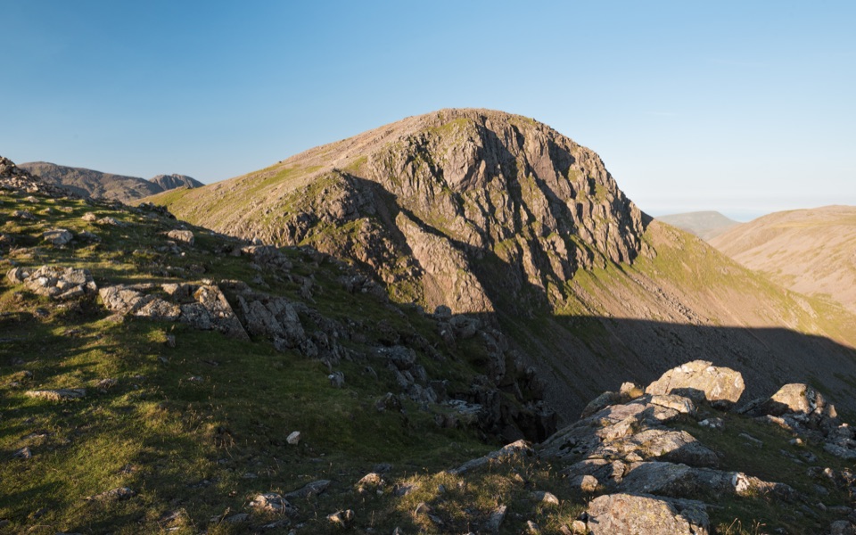 ChallengingBase Brown, Green Gable, Great Gable and Seathwaite Fell11.7 km · 6.5 hr · At the trailheadFour summits, scrambling and tarns on a hard 7.3-mile Borrowdale circuit
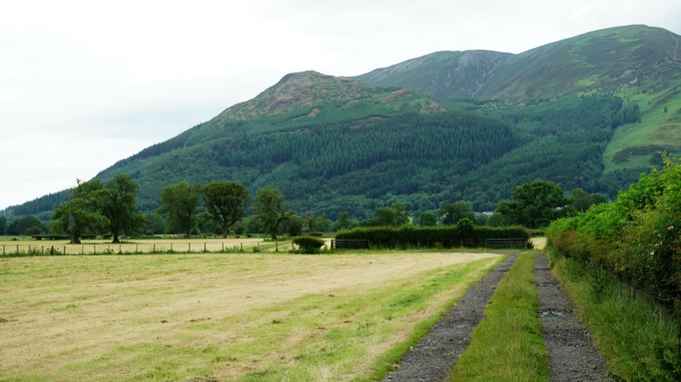 ChallengingAllerdale Ramble80.5 km · 23 hr · At the trailheadFell tops to Solway saltmarsh on a 50-mile unmarked coast-bound trek
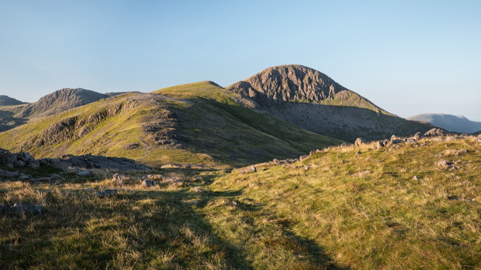 ChallengingGreat Gable from Honister Pass10.5 km · 4.5 hr · 1.7 km awayFour rocky summits, big valley views, and a serious high fell day
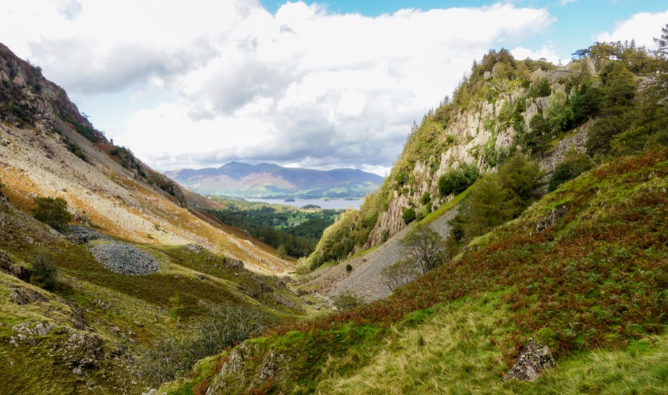 EasyDownstream to Derwent Walk, Borrowdale and Derwent Water7.5 km · 2 hr · 1.7 km awayDownhill from slate country to Borrowdale riverside and Grange Bridge
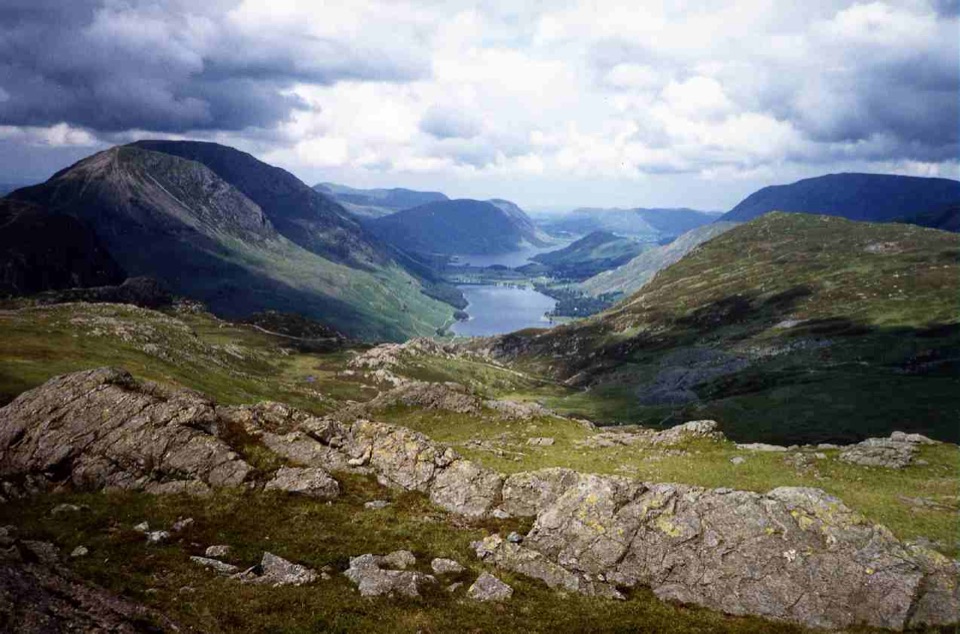 ModerateGrey Knotts and Brandreth Circular7.6 km · 3.3 hr · 1.7 km awayRocky fell tops, old mine workings, and wide views over Buttermere
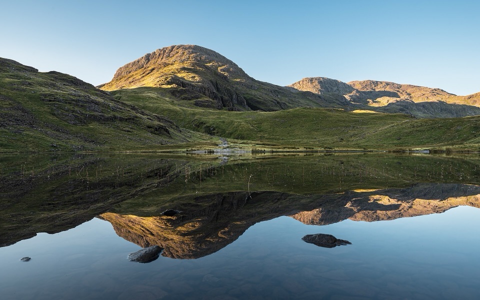 ChallengingSeatoller, Styhead Tarn and Grains Gill Walk13.4 km · 5 hr · 1.9 km awayTwo high tarns and a rugged fell circuit above Borrowdale
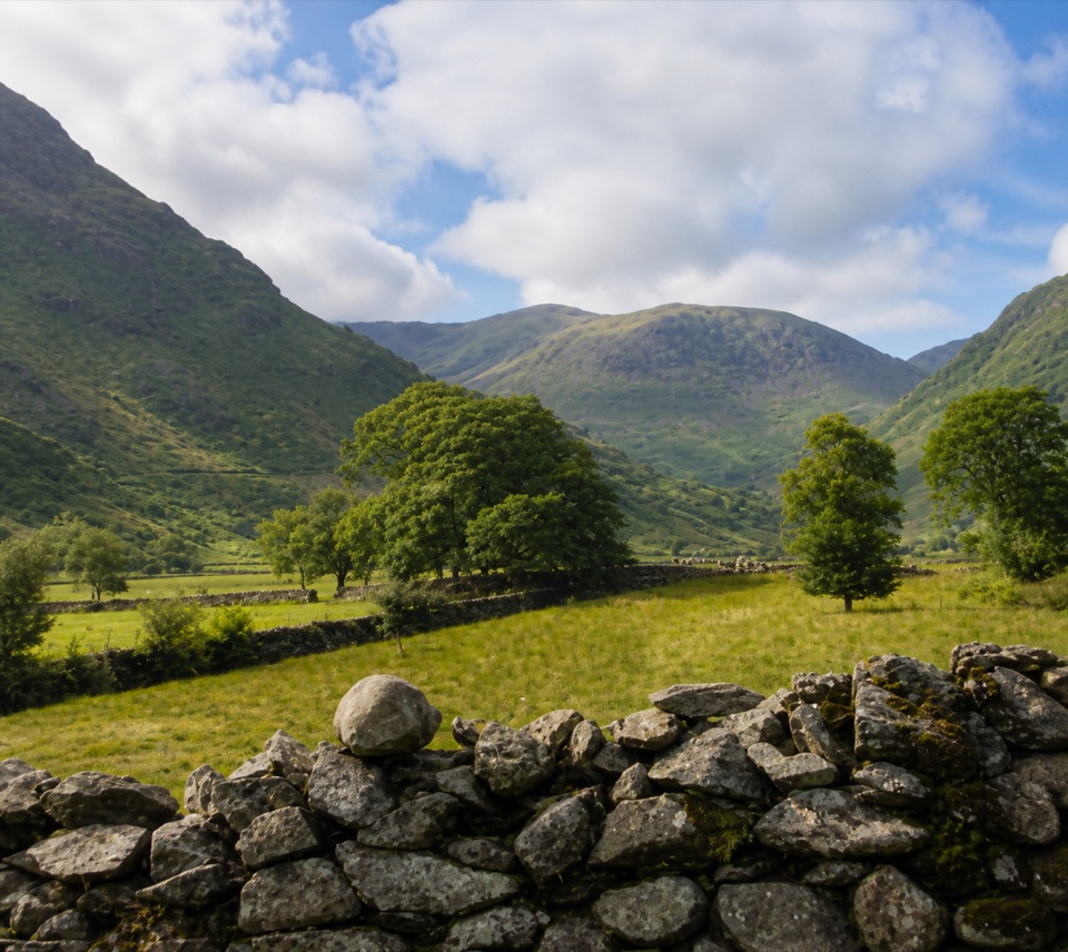 EasyThorneythwaite Farm Picnic and Waterfall Walk3.7 km · 1.2 hr · 1.9 km awayA short farm-to-fell walk ending at a waterfall beneath Coombe Crag
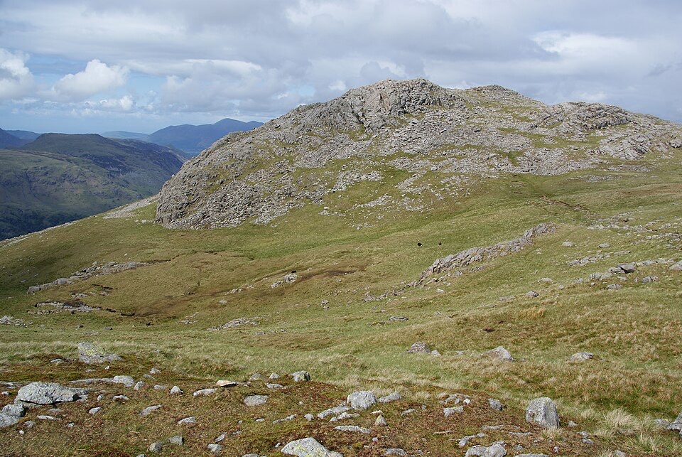 ChallengingThe Glaramara Wainwrights16.6 km · 6.5 hr · 1.9 km awayThree Wainwright summits across a rough, pathless ridge
 Sight · 1.8 km awayHonister Slate MineExplore England's last working slate mine beneath a mountain pass
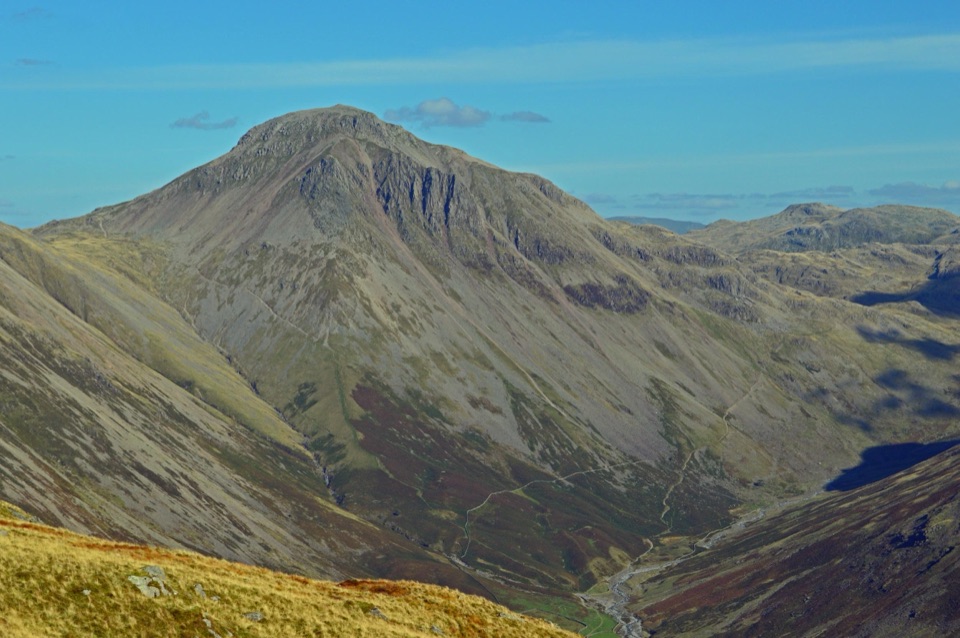 Sight · 3 km awayGreat GableA rocky summit with wide views and a storied climbing heritage
 Sight · 4.6 km awayThe Bowder StoneA 2,000-tonne boulder balanced above a woodland path
 Sight · 5.3 km awayScafell PikeEngland's highest summit, reached over a rough, weathered boulder field
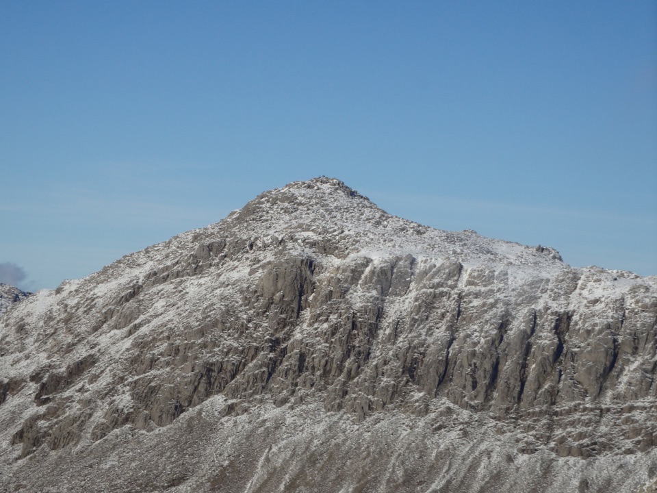 Sight · 5.8 km awayBowfellA rocky summit above Langdale, with the Scafells spread beyond
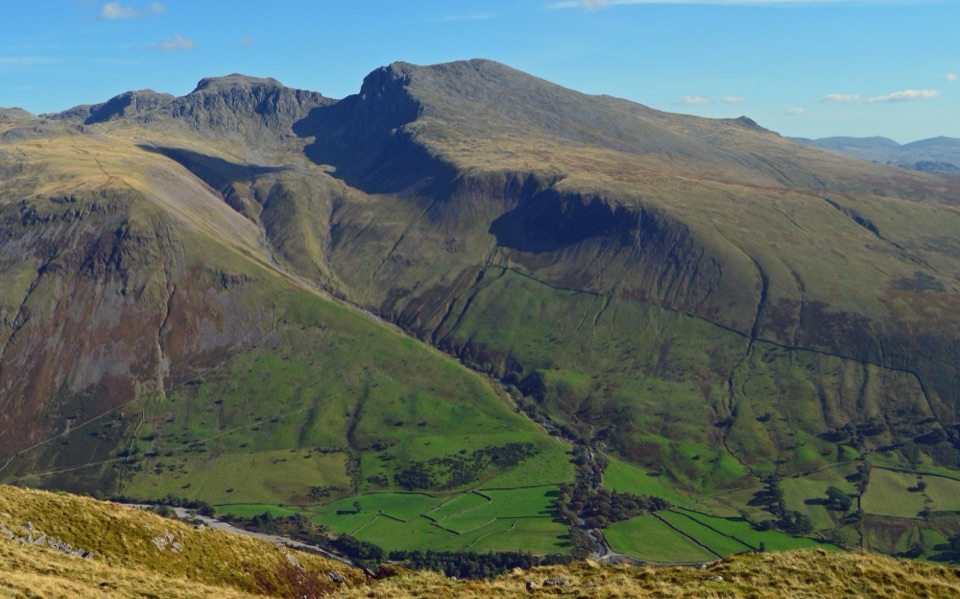 Sight · 6.3 km awayScafellA rugged high summit with big views over Wastwater and Eskdale
 Sight · 6.4 km awayButtermereA calm mountain lake ringed by high fells and an easy circuit
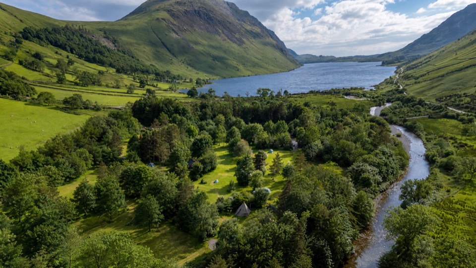 Campground · 7 km awayWasdale CampsiteA riverside base for Scafell Pike and the Wasdale valley
Parkwolf’s Lake District ranking

The audio tour guide for the drive, plus offline maps, trails, and wildlife heatmaps for when the signal drops.





