Pros & cons
PROS
- Wide old carriage road makes for smoother footing than typical Adirondack trails
- Easy add-on ridge link to Cat Mountain for a longer, bigger-day option
CONS
- Junctions and old roads can be confusing without an offline map
- Bugs can be intense in late spring and early summer
Park at the Cat & Thomas Mountains Preserve trailhead near Bolton Landing.
Trail junctions and old roads can confuse—carry an offline map. Hunting is allowed in season; wear bright colors. Expect black flies/mosquitoes in late spring and possible snow/ice in winter.
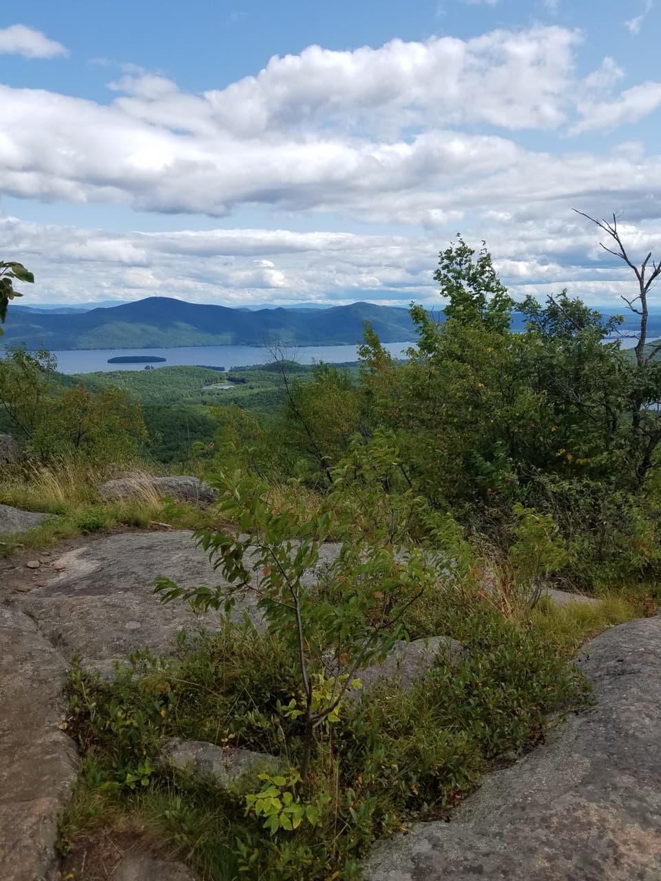
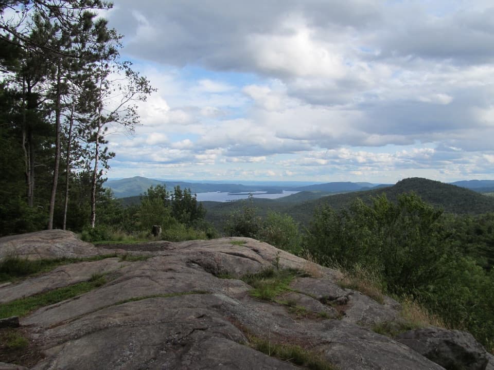
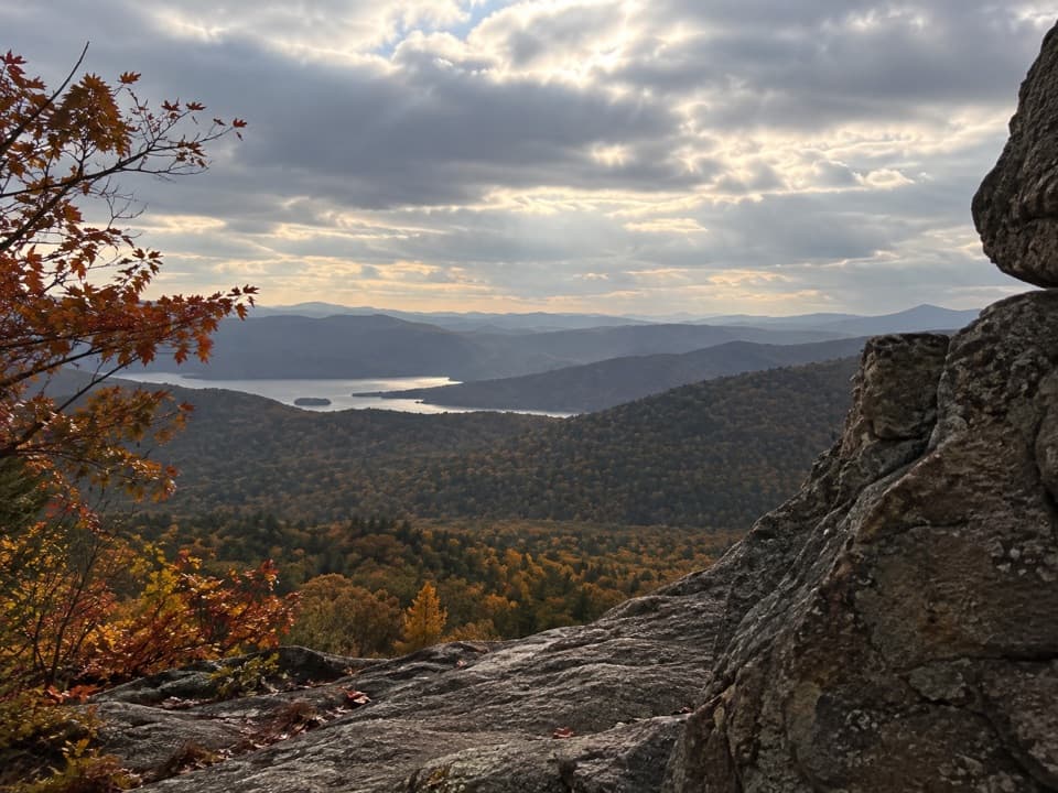
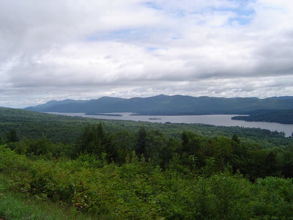
Thomas Mountain is the friendliest way to score a real Lake George panorama without a bruiser of a climb. The main route is an out-and-back that’s roughly 2.8–3.0 miles round trip, mostly on a wide old carriage road with a final steeper push to the top. It’s a true payoff-for-effort hike: forested approach, then broad lake-and-Adirondack views from the summit clearing.
Expect a moderate grade with a few steeper stretches, but fewer roots and ankle-biters than many Adirondack trails thanks to that historic roadbed. The summit features a primitive cabin—an uncommon perk—plus ledges and open rock for lunch-with-a-view. If you’re feeling ambitious, a signed ridge route continues from Thomas to Cat Mountain; that connector is rougher and more strenuous, so plan extra time and legs.
Navigation can be the curveball here. The preserve has multiple intersecting trails and old roads, and markings aren’t perfect. Carry a downloaded map or GPS track and slow down at junctions. If crowds and chaos aren’t your thing, this still beats the area’s busier viewpoints on most days, especially early mornings and weekdays.
Scenery-wise, you’re looking at classic Adirondack bedrock and glacially shaped hills. Spring brings wildflowers in the woods; fall lights up the basin with color. Wildlife shows up when it wants to—enjoy the quiet forest and keep an eye on the understory as you climb.
Best time to hike: Late spring through fall for the clearest views and comfortable temps. Summer is lush; autumn foliage is the showstopper. Spring and early summer can be buggy—bring spray. The trail is hikeable year-round, but snow and ice add spice; traction is smart in winter. Clear days make the views, so watch the forecast.
Tips: Bring water, snacks, and that map. The carriage road is the easier way; save the Two Brothers/other steeper routes for when you want a challenge. Dogs are allowed and this is a solid family outing for folks with some hiking experience. If you want a bigger view and don’t mind rougher footing, consider linking Thomas to Cat Mountain—just budget time and energy.
Elevation
2.8 mi · 2 hrWhere it starts
43.5789, -73.7068Near Thomas Mountain Trail
All places →All trails →
0.7 mi awayCat Mountain SummitWide-open Lake George panorama atop a broad rock summitScenic Viewpoint
1.9 mi awayCat and Thomas Mountain LoopTwo summits, one loop, with big Lake George panoramasModerate · 7.7 mi · 4 hr
1.9 mi awayEdgecomb Pond LoopShady pond loop with easy terrain and a Cat Mountain add-onEasy · 2.5 mi · 1.3 hr
2 mi awayThe PinnacleShort hike, huge Lake George views above Bolton LandingTrailhead · Parking
2 mi awayCat Mountain TrailBig Lake George views via mellow road to rugged summit finishModerate · 6 mi · 4 hr
2 mi awayThe Pinnacle TrailShort climb to a huge Lake George panorama—big payoff, easy logisticsEasy · 2.1 mi · 1.5 hr
2.6 mi awayUp Yonda Farm Environmental Education CenterHands-on nature center with trails, lake views, and a butterfly houseTrailhead · Parking
3 mi awayVeterans Memorial Park BeachRelaxed local beach with guarded swim and a handy kayak launchRestroom · Parking