Parking
Wetlands Trailhead lot on Northshore Road at mile 1.2; an accessible pit toilet and trash receptacles are at the trailhead. Drinking water is not available.

Lake Mead National Recreation Area, AZ · NV
A short desert ridge walk reaches the sound of running water.
Overview
Map & elevation
Plan your hike

The highest, rockiest slopes around here are a summer buffet for grizzly bears.
Lake Mead Tour Guide
Parkwolf is a GPS audio tour guide for Lake Mead National Recreation Area. As you drive, it chimes in with what’s ahead: hidden gems, upcoming stops, history, geology, and wildlife, right through your car’s speakers.
See the Lake Mead audio tourRecorded for this trailhead
Wetlands Trail: Running Water in the Desert“The Wetlands Trailhead is coming up on Northshore Road. Choose this short walk for the unusual sound of running water in the desert, with a bluff-top view of Las Vegas Wash spilling over a concrete weir.”
Plays as you drive up to this trailhead in the Parkwolf Lake Mead Tour Guide.
More stories near here in the app
“Fantastic app with many points of information… It’s great to just turn on while you’re driving and it gives you an audio tour of the national Park. We love it!!!!”


Trail guide
Wetlands Trail is a roughly 0.8-mile loop from the Northshore Road Mile 1.2 trailhead to Las Vegas Wash and back through a side canyon. It is a worthwhile short stop for open desert, a bluff-top look over the water and the unusual sound of running water here. Allow about an hour. Published totals vary with the route: the core loop is measured at about 0.7 mile, the expanded round trip is listed at 1.5 miles, and taking all three optional spurs brings it to about 1.76. This route follows the short core loop; the wash-side spurs add distance.
From the parking lot, head east over sparse desert pavement and low creosote. A short right-hand spur reaches the bluff edge above a concrete weir and its cascade. The main path continues along a narrow ridge before dropping steeply over uneven natural earth, loose gravel and sand; some of the largest steps have logs supporting the tread. At the low saddle, follow the left switchbacks into a side canyon, then take the dirt road back through layered alluvial deposits. Other footpaths descend to the water or follow the wash farther, making a longer outing.
Las Vegas Wash carries water from the valley toward Lake Mead, cutting into the bluffs. Honey mesquite, saltcedar, quailbush and arrowweed line the water, drawing birds and other wildlife into an otherwise sparse stretch of desert. Kangaroo-rat burrows may show among the creosote on the dry upper section. From the bluff, frame the cascading weir with the canyon walls; the optional water-level path gives a closer view.
Use the Wetlands Trailhead lot at Northshore Road mile 1.2. An accessible pit toilet and trash receptacles are at the lot, but drinking water is not. This is an unmaintained route with steep, loose footing and exposed bluff edges; a sign at the low saddle warns of swift water. Do not drink or swim in the wash. Bring water and, in summer, go during cooler morning or evening hours. Dogs are allowed on a leash no longer than six feet. The park entrance fee applies. An older route description shows a gate near the return; its current setup is unverified, so follow posted access signs.
Wildlife
 525 sightingsBighorn SheepMost seen around 5 PMSighting map
 116 sightingsBurroMost seen around 7 PMSighting map
 18 sightingsBald EagleMost seen around 4 PMSighting map
 99 sightingsWhite PelicanMost seen around 7 AMSighting map
 145 sightingsGreat Blue HeronMost seen around 7 AMSighting map
 106 sightingsTurkey VultureMost seen around noonSighting map
Sighting maps show where each species has been reported across Lake Mead. Wildlife moves, so no sighting is guaranteed.
Keep exploring
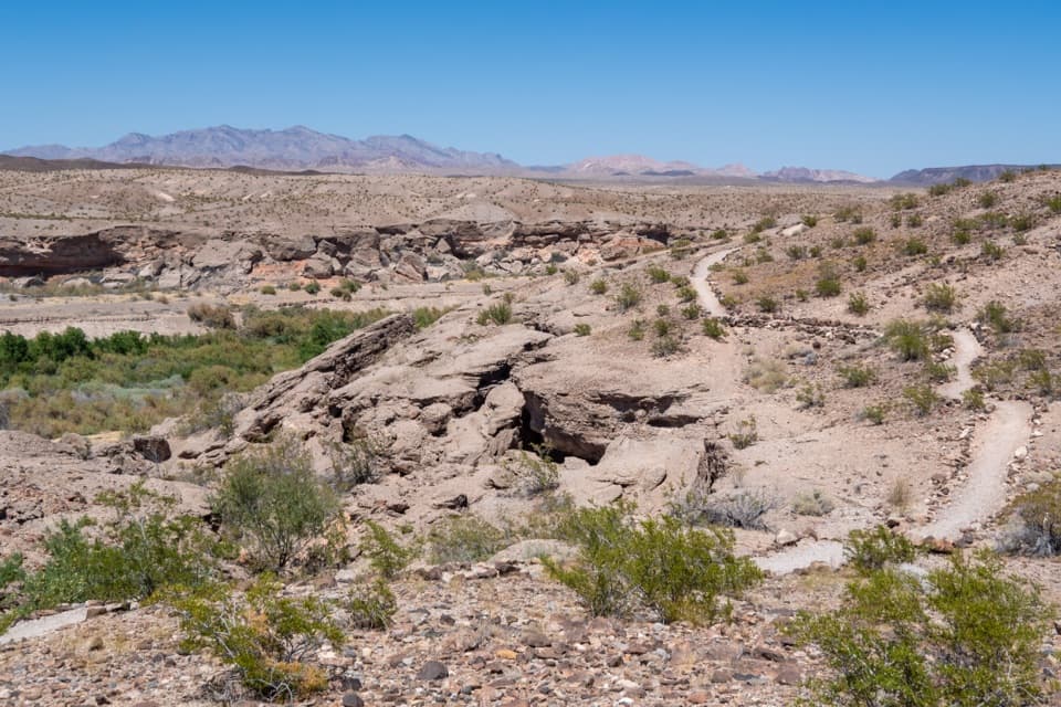 ModerateBluffs Trail2.7 mi · 2 hr · 1.6 mi awayGreen wash views and eroded bluffs just above the campground.
 EasyLas Vegas Bay Shoreline Trail3.4 mi · 1.8 hr · 2 mi awayWalk a rock-lined path along the bay's former shore.
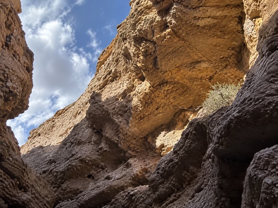 ModerateShoreline & White Owl Canyon Loop6.5 mi · 3.5 hr · 2.3 mi awayA rough loop of lakebed shore, gravel washes, and slot canyons.
 ModerateOwl Canyon Trail2.2 mi · 2 hr · 3.4 mi awayA steep descent to sculpted narrows and two road crossings.
 EasySunset View Trail0.6 mi · 24 min · 4.8 mi awayA short loop with broad views over Lake Mead's Boulder Basin.
 ModerateBlack Mesa Trail3.9 mi · 3.5 hr · 7.9 mi awayA cross-country climb to Black Mesa's broad summit above Lake Mead.
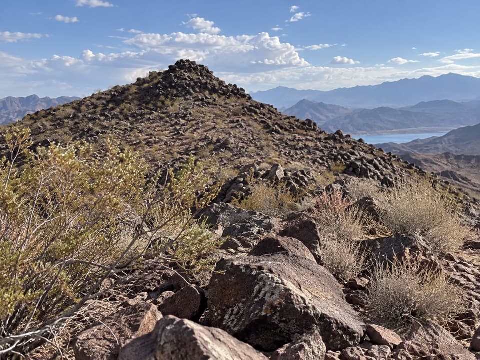 ModerateCallville Ridge Trail4.7 mi · 4 hr · 8.4 mi awayA pathless ridge to three summits and 1950s jet wreckage.
 EasyHistoric Railroad Trail7.5 mi · 3 hr · 9.9 mi awayFive dark tunnels on a railbed high above Lake Mead.
 Campground · 1.7 mi awayLas Vegas Bay CampgroundShaded sites and a bluff trail above Las Vegas Wash.
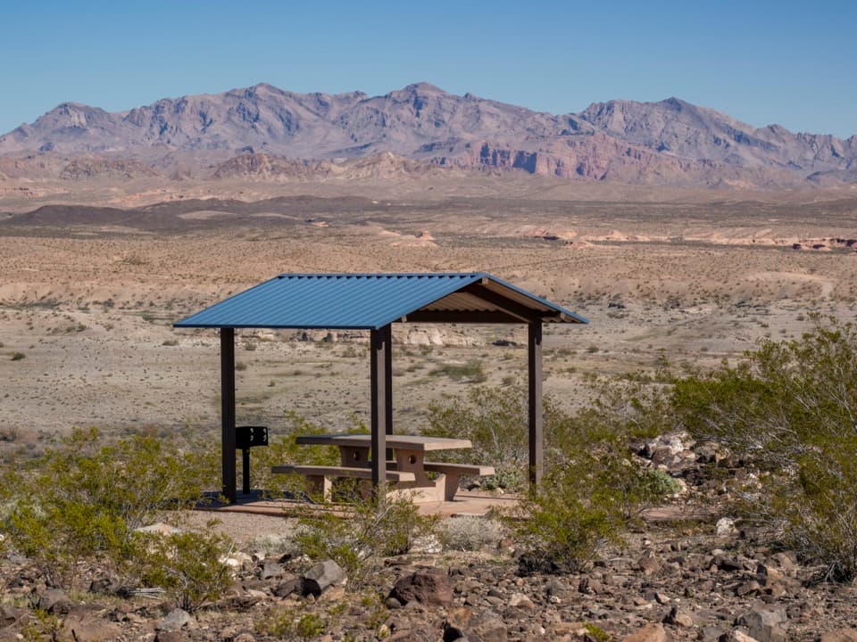 Sight · 2 mi awayLas Vegas Bay OverlookA blue-roofed picnic shelter frames Las Vegas Wash and desert ridges.
 Picnic area · 3.5 mi away33 Hole Scenic OverlookPicnic above Las Vegas Bay, with Owl Canyon starting nearby.
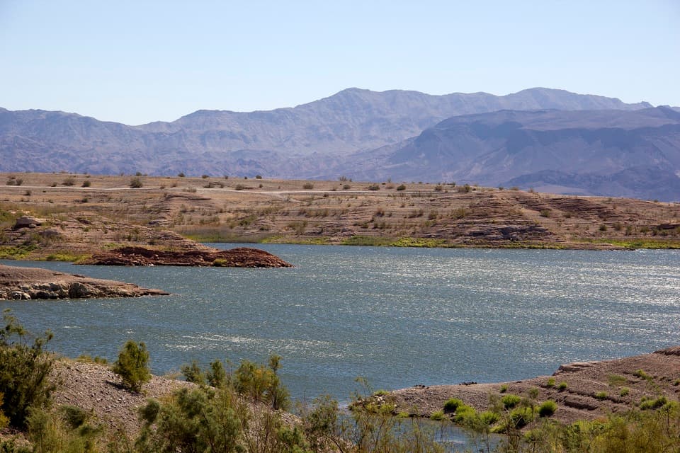 Campground · 3.7 mi awayGovernment Wash Campground and Day Use AreaCamping with small-craft lake access and no utility hookups
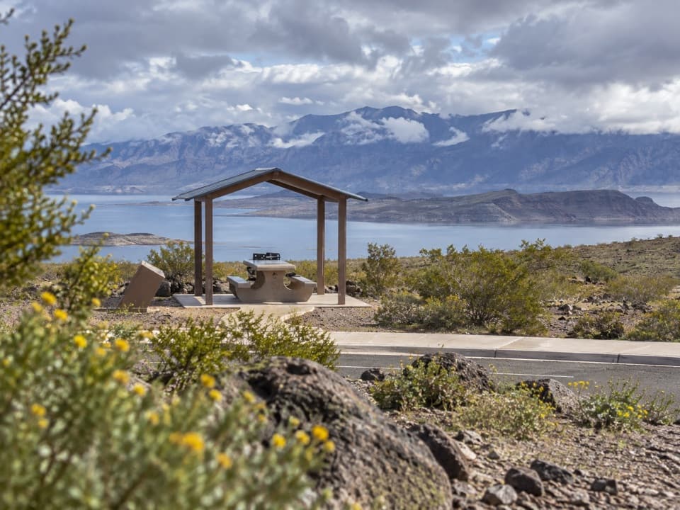 Sight · 3.8 mi awayLongview Scenic OverlookAn easy picnic stop with a wide Lake Mead view.
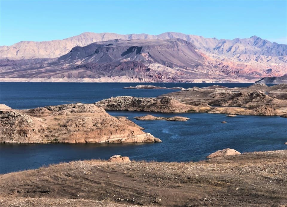 Scenic pullout · 4.9 mi awaySunset View Scenic OverlookA quick Lakeshore Road stop for a wide Lake Mead panorama.
 Beach · 8 mi awayBoulder BeachA rocky swim stop with volcanic cliffs across the basin.
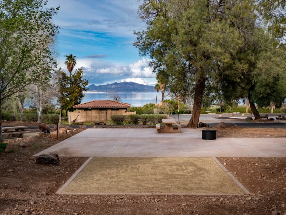 Campground · 8.3 mi awayBoulder Beach CampgroundShaded, paved campsites with Lake Mead views near Boulder Beach.
Parkwolf’s Lake Mead ranking

The audio tour guide for the drive, plus offline maps, trails, and wildlife heatmaps for when the signal drops.



