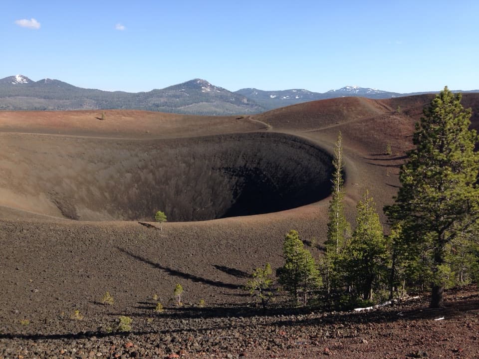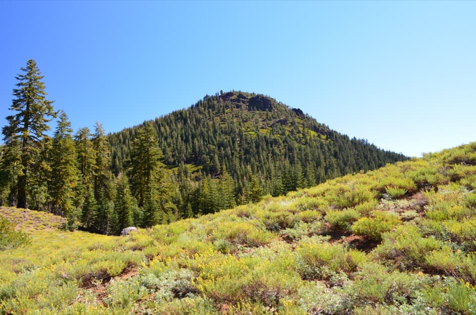
Red Cinder Cone Trail in Lassen Volcanic National Park

Lassen Volcanic National Park, CA

Red Cinder Cone Trail

A remote 8.8-mile traverse through the Red Cinder Cone corridor.

Photo: Wikimedia Commons
Length
8.8mi
Time
5hr
Elev. change
1,601ft
Difficulty
Moderate
  • No dogs
  • High point 7,671 ft

Hear the audio tour

Juniper Lake: Beach or Long Loop

Overview

About Red Cinder Cone Trail

Why go

  • A long traverse through the volcanic country around the namesake cone.
  • Connects to the Butte Lake-to-Snag Lake trail network at its far end.

Heads up

  • It is an open one-way corridor, not a verified loop; the far end has no confirmed road access.
  • The exact Juniper Lake parking arrangement and trail conditions are not documented.

Map & elevation

The route

Loading the Lassen Volcanic map
Full map
Elevation6,070–7,671 ft
TrailheadJuniper Lake area40.48201, -121.30419
Keep this map with you offline in the Parkwolf app

Plan your hike

Before you go

Parking

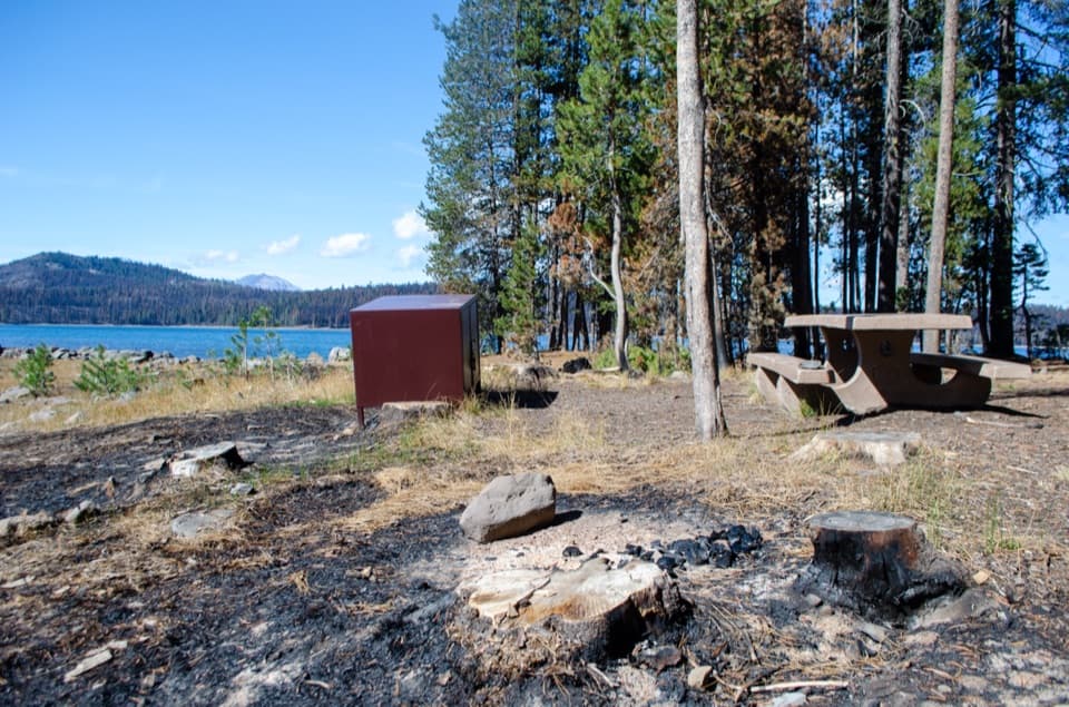
The mapped southwest start is in the Juniper Lake access area. An NPS lot name or route-specific parking instructions were not found; confirm current legal parking with the park. The northern end is a backcountry junction, not a roadside pickup.

Best time to go

Begin in the Juniper Lake access area; the far end is a backcountry trail junction, not a confirmed roadside pickup. No named lot or trail-specific parking instructions were found, and there is no verified loop or return access, so plan a connected route or retrace the line before setting out. Lassen Volcanic's hiking season is generally May through October, though snow can linger into June or July after heavy winters. Pets are not allowed on park trails, and route-specific water or facilities were not confirmed.

Safety

Treat 8.8 miles as one way. The loop title conflicts with the mapped open corridor, and no vehicle access at the northern junction is confirmed; plan a connected route or a return before starting. Snow can linger into early summer after heavy winters. Pets are prohibited on park trails.

1 active Lassen Volcanic alert

  • ClosureJuniper Lake campground and day-use area closedMentions Juniper Lake, referenced in this guideJuniper Lake Campground and day-use area are closed for maintenance and campground-improvement projects. - Potable water is unavailable in the campground.Official details
Lassen Volcanic alerts
A park ranger sits on a dash-mounted phone, talking, as Parkwolf’s Tour Guide plays “Army Cutworm Moths: A Grizzly Bear Buffet” on Grand Loop Road below Dunraven Pass in Yellowstone
Parkwolf Tour GuideThe highest, rockiest slopes around here are a summer buffet for grizzly bears.

Lassen Volcanic Tour Guide

Your drive to Red Cinder Cone Trail, narrated.

Parkwolf is a GPS audio tour guide for Lassen Volcanic National Park. As you drive, it chimes in with what’s ahead: hidden gems, upcoming stops, history, geology, and wildlife, right through your car’s speakers.

See the Lassen Volcanic audio tour

Recorded for this area

Juniper Lake: Beach or Long Loop
0:00 / 0:29
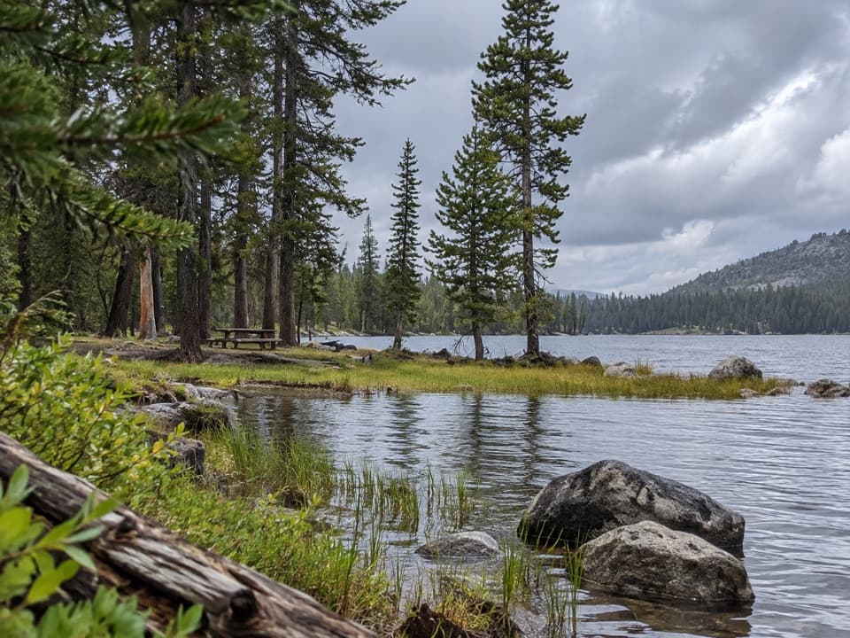
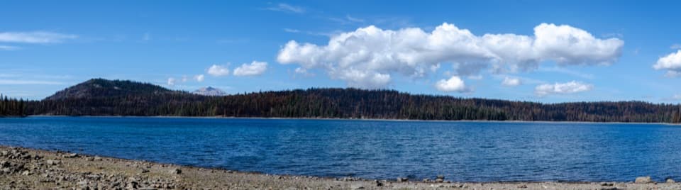
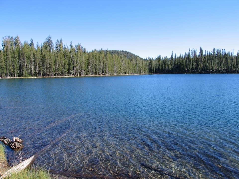
“You’re nearing Juniper Lake’s north-shore day-use area, where a gravel-and-sand beach looks across the water toward Mount Harkness.”

Plays on the road 1.1 mi from the trailhead in the Parkwolf Lassen Volcanic Tour Guide.

More stories near here in the app

  • Crystal Lake: A Short but Steep Climb
  • Mount Harkness: Meadow Views and a Lost Lookout
  • Life Inside a Burned Tree
  • A Dragonfly’s Life Before Flight
  • 45 audio storiesacross Lassen Volcanic’s roads, triggered by GPS as you drive
  • Wildlife heatmapsfor Black Bear, Bald Eagle, Mule Deer, and 13 more
  • Works offlinemaps, 59 trails, 56 places, and audio download before you lose signal
  • CarPlay readysimple controls built for the drive
★★★★★
“Fantastic app with many points of information… It’s great to just turn on while you’re driving and it gives you an audio tour of the national Park. We love it!!!!”
JMJamesApp Store review
Download Parkwolf on the App StoreGet Parkwolf on Google Play

4.7 from 8,600+ ratings

Trail guide

Hiking Red Cinder Cone Trail

What this trail isRed Cinder Cone Trail is an 8.

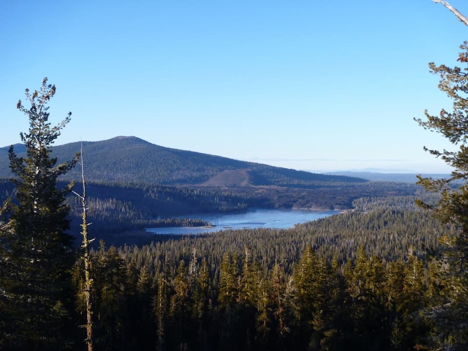
Red Cinder Cone Trail is an 8.8-mile one-way traverse from the Juniper Lake area to a junction with the Butte Lake-to-Snag Lake Trail. It follows the Red Cinder Cone corridor rather than adding an off-trail summit climb. The entry is called a loop in some listings, but the mapped route ends at a separate junction and no closed 8.8-mile circuit is confirmed. Treat the distance as one way; retracing to Juniper Lake makes the walk about 17.7 miles total.

The climb and descentThe mapped line starts around 6,570 feet, rises to about 7,650 feet partway through, then drops…

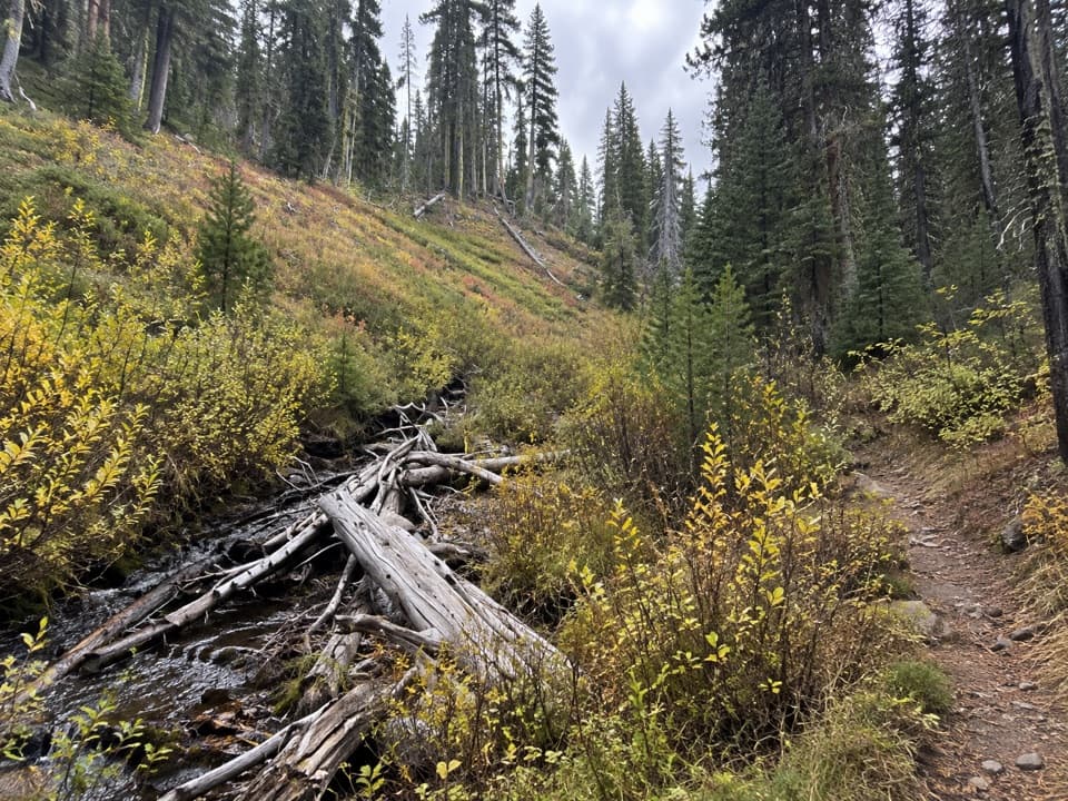
The mapped line starts around 6,570 feet, rises to about 7,650 feet partway through, then drops to roughly 6,070 feet at its north end. That is about 1,100 feet of climbing and 1,600 feet of descent. At 8.8 miles one way, allow about five hours as a planning estimate. Reliable details about tread, crossings, and wayfinding were not found, so do not assume conditions from the separate Butte Lake Cinder Cone hike.

Wildlife

Wildlife in Lassen Volcanic

All Lassen Volcanic wildlife maps

Sighting maps show where each species has been reported across Lassen Volcanic. Wildlife moves, so no sighting is guaranteed.

Keep exploring

Near Red Cinder Cone Trail

See it all on the map

Trails that start nearby

Places near the trailhead

Parkwolf’s Lassen Volcanic ranking

Top-rated trails in Lassen Volcanic

All 59 trails
  1. 1Lassen Peak TrailChallenging · 5 mi
  2. 2Cinder Cone TrailChallenging · 4 mi
  3. 3Bumpass Hell TrailModerate · 3 mi
  4. 4Brokeoff Mountain TrailChallenging · 7.4 mi
  5. 5Kings Creek Falls TrailModerate · 2.8 mi
  6. 6Manzanita Lake LoopEasy · 1.8 mi

Take Parkwolf to Lassen Volcanic.

The audio tour guide for the drive, plus offline maps, trails, and wildlife heatmaps for when the signal drops.

4.7 from 8,600+ ratings

Download Parkwolf on the App StoreGet Parkwolf on Google Play