Parking
Use Spencer Meadow Trailhead on the north side of CA-36 just before Childs Meadow. Capacity and current parking conditions were not established.
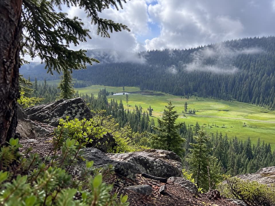
Lassen Volcanic National Park, CA
A long forest loop opens onto Childs Meadow.
Overview
This is the loop version of the Spencer Meadow Trail: about 11.5 miles round trip from the north side of CA-36. Expect roughly seven hours and about 1,600 feet of climbing. It suits hikers looking for a full day in forest and meadow country; this is a strenuous walk, not a quick leg-stretcher or a summit route.
 Parkwolf’s verdictIs this the hike for you?
Map & elevation
Plan your hike

The highest, rockiest slopes around here are a summer buffet for grizzly bears.
Lassen Volcanic Tour Guide
Parkwolf is a GPS audio tour guide for Lassen Volcanic National Park. As you drive, it chimes in with what’s ahead: hidden gems, upcoming stops, history, geology, and wildlife, right through your car’s speakers.
See the Lassen Volcanic audio tourMore stories near here in the app
“Fantastic app with many points of information… It’s great to just turn on while you’re driving and it gives you an audio tour of the national Park. We love it!!!!”


Trail guide
The trail leaves CA-36 through mixed fir, pine, incense cedar and black oak, with seasonal streams along the climb. Follow the two connected branches around the northern loop, then retrace the approach to the highway. Keep a GPS track handy at the junctions; nearby paths lead to different itineraries, and the directions are not always clear about which one their mileage describes.
A rocky overlook looks down on Childs Meadow, with forested slopes beyond. Include some of the foreground rock in a photo to show the drop toward the meadow. The route also approaches Spencer Meadow, where spring wildflowers are a highlight. A separate faint path is reported to Canyon Creek Falls, a roughly 50-foot waterfall, but its junction and added distance are not reliably mapped; it is not part of the 11.5-mile line.
Start at Spencer Meadow Trailhead on the north side of CA-36 just before Childs Meadow. There is no potable water at the trailhead or along the route. Leashed dogs are allowed on this loop. The separate continuation toward Twin Meadows and Kings Creek enters Lassen Volcanic National Park, where pets are not allowed on hiking trails; that route also needs a self-arranged shuttle and can be hard to follow.
Mileage listings don't agree. A six-mile figure leaves its endpoints and direction unclear, while loop descriptions range from about 11.5 to 13.2 miles. The line here follows the connected 11.56-mile loop, including the same approach on the return. It excludes an uncertain waterfall spur and the separate northbound continuation toward Twin Meadows and Kings Creek.
Wildlife
 103 sightingsBlack BearMost seen around 7 PMSighting map
 44 sightingsBald EagleMost seen around 7 AMSighting map
 348 sightingsMule DeerMost seen around 7 PMSighting map
 17 sightingsSandhill CraneMost seen around 6 AMSighting map
 47 sightingsGreat Blue HeronMost seen around 7 AMSighting map
 12 sightingsGreat EgretMost seen around 7 AMSighting map
Sighting maps show where each species has been reported across Lassen Volcanic. Wildlife moves, so no sighting is guaranteed.
Keep exploring
 ChallengingBrokeoff Mountain Trail7.4 mi · 6 hr · 5.7 mi awayA steep summit climb with Lassen views and an ancient caldera.
 ModerateMill Creek Falls Trail3.7 mi · 2.8 hr · 6 mi awayA 75-foot waterfall rewards the repeated climbs.
 ModerateLittle Willow Lake to Terminal Geyser Trail3.2 mi · 2.3 hr · 6.6 mi awayA lakeside fen leads to a steam vent in the woods.
 ChallengingPacific Crest Trail through Lassen Volcanic19.1 mi · 10 hr · 6.7 mi awayA true PCT crossing strings together remote lakes and forest.
 ChallengingRidge Lakes Trail2.2 mi · 1.8 hr · 6.8 mi awayA steep climb to two small lakes in a volcanic cirque.
 EasyCrumbaugh Lake Trail2.6 mi · 1.5 hr · 6.9 mi awayTwo lakes, muted bubbles, and a meadow below Mount Conard.
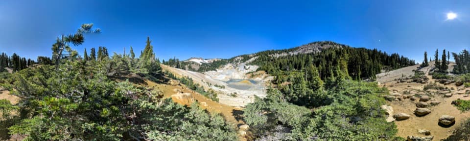 ModerateBumpass Hell via Cold Boiling Lake5.2 mi · 3 hr · 7.3 mi awayHike to Bumpass Hell from the east, via Cold Boiling Lake.
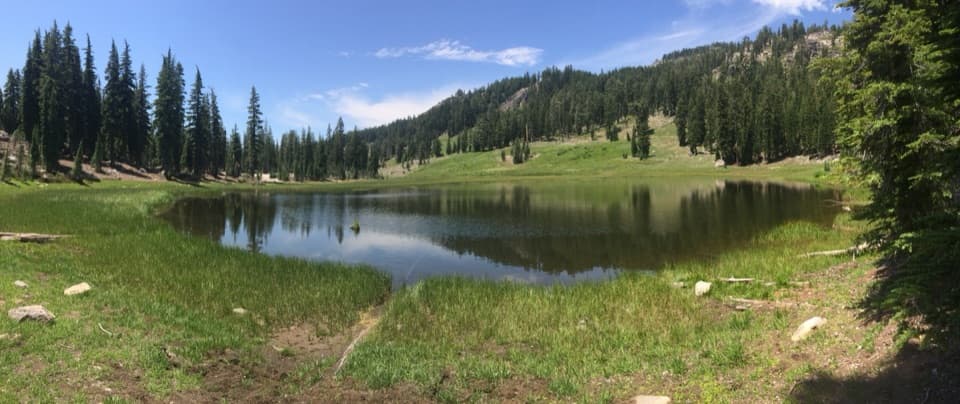 EasyCold Boiling Lake Trail1.6 mi · 54 min · 7.3 mi awayA short, mostly level walk to a lake that may still bubble.
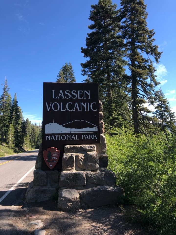 Scenic pullout · 5.2 mi awaySouthwest Entrance SignA quick photo at one of Lassen’s two roadside entrance signs.
 Entrance station · 5.9 mi awaySouthwest Entrance StationA quick first stop for passes and a park map.
 Sight · 6 mi awayMill Creek FallsA 75-foot waterfall worth the hot, hilly hike to reach it.
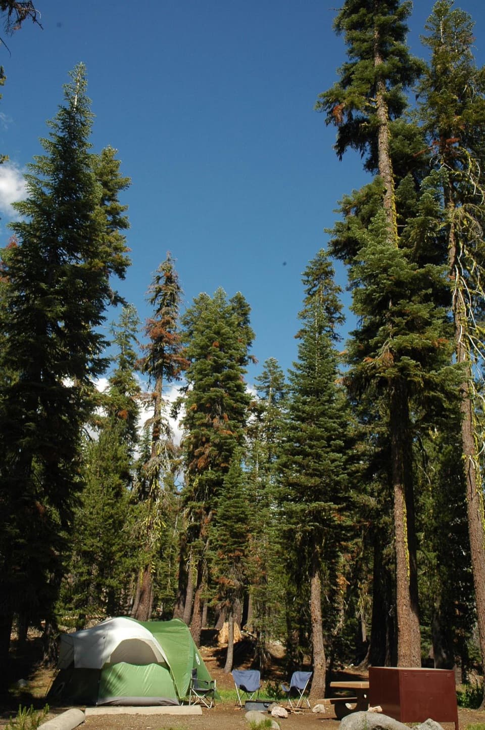 Campground · 6 mi awaySouthwest CampgroundWalk-in tents beside the visitor center; winter camping is vehicle-only.
 Visitor center · 6.1 mi awayKohm Yah-mah-nee Visitor CenterA 3-D geology map makes volcanic terrain click
 Food · 6.1 mi awayLassen Café & GiftA handy stop for sandwiches, espresso, and soft-serve.
 Scenic pullout · 6.3 mi awayDiamond Peak Scenic VistaA quick pullout for Lassen Peak and the creek valley.
 Sight · 6.6 mi awayDevils KitchenBubbling pools and steam after a longer Warner Valley hike.
Parkwolf’s Lassen Volcanic ranking
The audio tour guide for the drive, plus offline maps, trails, and wildlife heatmaps for when the signal drops.



