Parking
This boundary-to-boundary section does not start and finish at one park lot. No parking at the two mapped crossings or shuttle service was verified; identify legal access and arrange a return before hiking the full route.

Lassen Volcanic National Park, CA
A true PCT crossing strings together remote lakes and forest.
Overview
Map & elevation
Plan your hike

The highest, rockiest slopes around here are a summer buffet for grizzly bears.
Lassen Volcanic Tour Guide
Parkwolf is a GPS audio tour guide for Lassen Volcanic National Park. As you drive, it chimes in with what’s ahead: hidden gems, upcoming stops, history, geology, and wildlife, right through your car’s speakers.
See the Lassen Volcanic audio tourMore stories near here in the app
“Fantastic app with many points of information… It’s great to just turn on while you’re driving and it gives you an audio tour of the national Park. We love it!!!!”


Trail guide
This is a 19.1-mile, one-way PCT section from Lassen Volcanic’s southern boundary to its northwestern boundary. It is a through-route, not a loop from one trailhead lot. The park brochure lists 17 miles of PCT, while this connected boundary-to-boundary line measures 19.07; plan around about 19 miles. The trail stays high, between roughly 5,800 and 6,700 feet, with repeated climbs and descents. Allow about 10 hours of hiking, plus the time needed to reach both ends and arrange a return.
The PCT crosses the park’s eastern high country. One well-described middle stretch runs from Corral Meadow and Kings Creek to Lower Twin Lake: it climbs gradually from creekside woods and a wet grassy swale, then more steeply to a forested ridge. Swan Lake appears to the east and Upper Twin Lake lies below to the west before the trail drops to Lower Twin Lake. This description comes from a prefire walk, so the forest along parts of the route has since changed.
The 2021 fire affected part of this corridor. Repair work on the 13-mile stretch inside the fire footprint was completed in 2023, but standing dead trees remain and can fall without warning. The park does not update PCT conditions regularly; check locally before setting out, especially for current blowdown.
The mapped start and finish are park-boundary crossings, not a single parking lot. No endpoint parking or shuttle was verified, so arrange access and return transport before attempting the whole section. This is a backcountry route: the park requires a permit for an overnight stay, and pets are not allowed on park trails. No route-wide water or services were confirmed; treat any backcountry water before drinking.
Wildlife
 103 sightingsBlack BearMost seen around 7 PMSighting map
 44 sightingsBald EagleMost seen around 7 AMSighting map
 348 sightingsMule DeerMost seen around 7 PMSighting map
 17 sightingsSandhill CraneMost seen around 6 AMSighting map
 47 sightingsGreat Blue HeronMost seen around 7 AMSighting map
 12 sightingsGreat EgretMost seen around 7 AMSighting map
Sighting maps show where each species has been reported across Lassen Volcanic. Wildlife moves, so no sighting is guaranteed.
Keep exploring
 ModerateLittle Willow Lake to Terminal Geyser Trail3.2 mi · 2.3 hr · 0.2 mi awayA lakeside fen leads to a steam vent in the woods.
 EasyBoiling Springs Lake Trail3 mi · 2 hr · 2.5 mi awayAn easy three-mile walk to steaming water and lakeside mudpots.
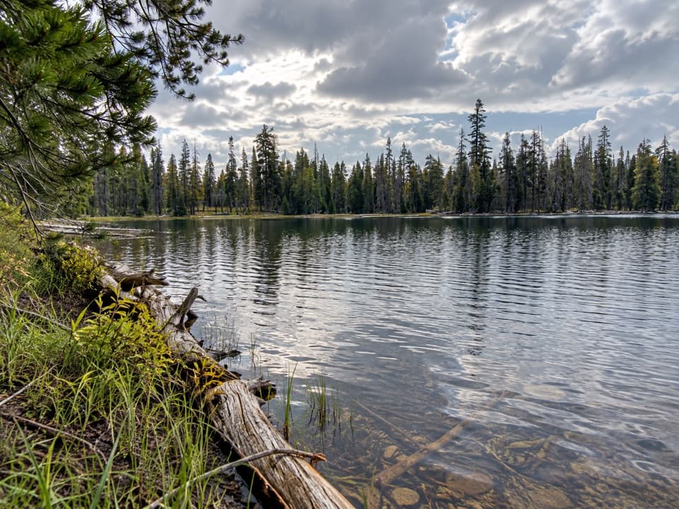 ModerateDrake Lake Trail5 mi · 3.5 hr · 2.5 mi awaySteep switchbacks climb from a meadow to a quiet forest lake.
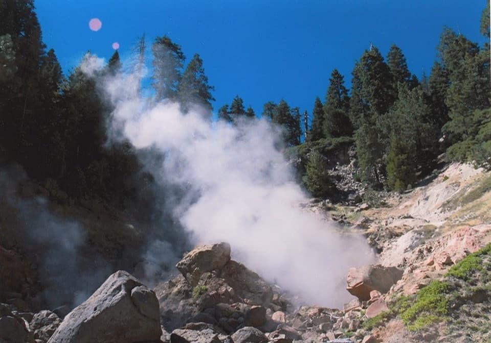 ModerateTerminal Geyser Trail5.8 mi · 2.8 hr · 2.5 mi awayA forest climb ends at a steam plume in Willow Creek’s canyon.
 ChallengingKings Creek Loop from Warner Valley10.5 mi · 8 hr · 2.5 mi awayA hard loop over Flatiron Ridge, Kings Creek Falls and Bench Lake.
 EasyDream Lake Basin Trail1.5 mi · 45 min · 2.5 mi awayA former lake basin threaded by springs and meadow plants.
 ModerateDevils Kitchen Trail4.2 mi · 2.5 hr · 2.5 mi awayA meadow walk to a bubbling, steam-filled volcanic basin.
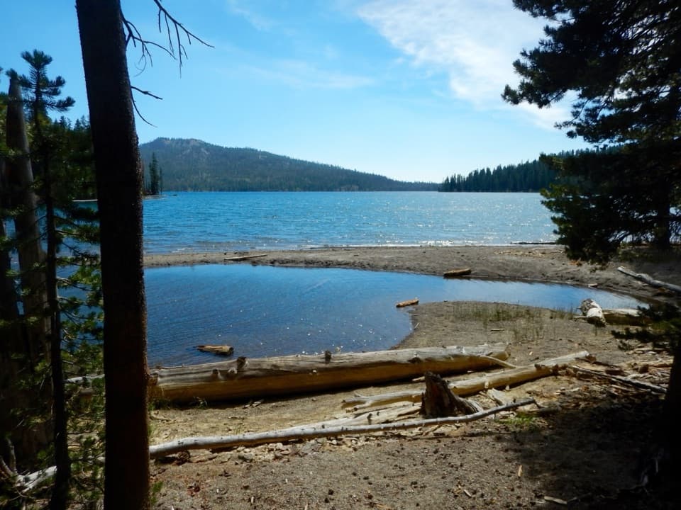 ChallengingKings Gorge Loop16.8 mi · 13 hr · 2.8 mi awayA long loop links Juniper Lake, wet meadows and a deep gorge.Sight · 0.9 mi awayTerminal GeyserA creekside steam vent at the end of a long hike.
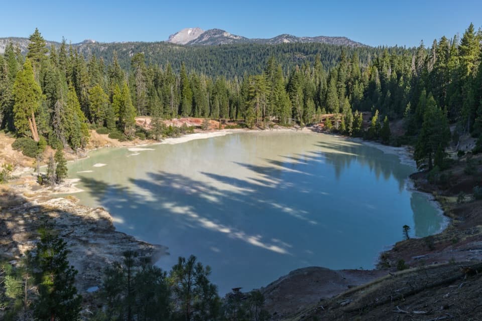 Sight · 2 mi awayBoiling Springs LakeA warm, milky lake ringed by steam and bubbling mudpots.
 Picnic area · 2.3 mi awayWarner Valley Day Use AreaA trailhead picnic stop for Lassen's hydrothermal corner.
 Campground · 2.4 mi awayWarner Valley CampgroundA remote, wooded base for Warner Valley's trail network.
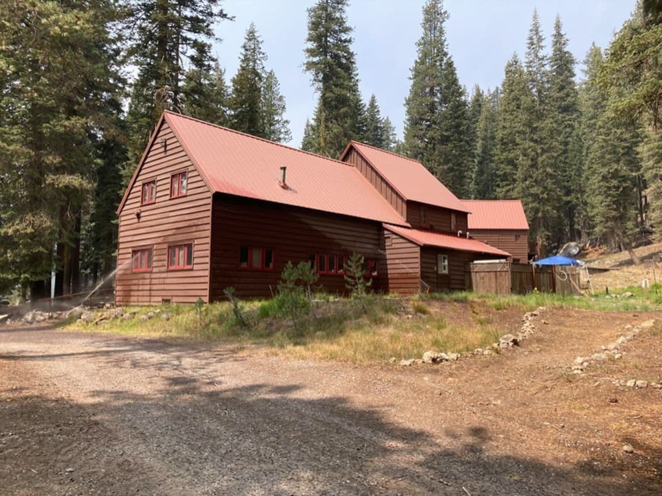 Lodging · 2.6 mi awayDrakesbad Guest RanchA remote Warner Valley base for meals, lodging, and nearby hikesSight · 3.5 mi awayDevils KitchenBubbling pools and steam after a longer Warner Valley hike.
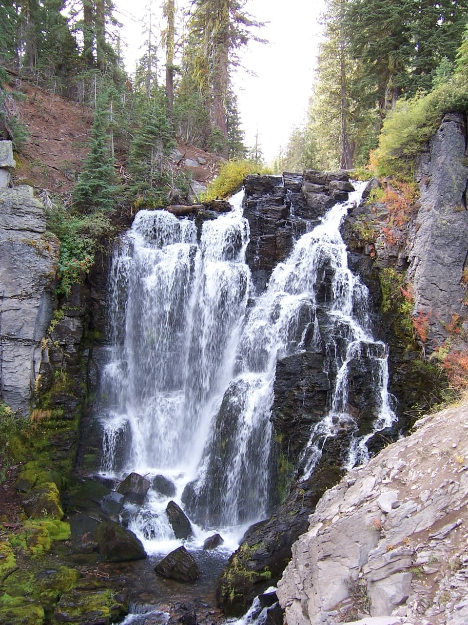 Sight · 4.6 mi awayKings Creek FallsThe creekside stone steps are half the payoff.
 Sight · 5.2 mi awayHorseshoe LakeA trout lake people have fished since 1936
Parkwolf’s Lassen Volcanic ranking

The audio tour guide for the drive, plus offline maps, trails, and wildlife heatmaps for when the signal drops.




