Little Willow Lake to Terminal Geyser Trail in Lassen Volcanic National Park

Lassen Volcanic National Park, CA

Little Willow Lake to Terminal Geyser Trail

A lakeside fen leads to a steam vent in the woods.

Photo: Wikimedia Commons
Length
3.2mi
Time
2.3hr
Elev. change
423ft
Difficulty
Moderate
  • No dogs
  • High point 6,368 ft
Parkwolf audio tour45 stories across Lassen Volcanic’s roads

Overview

About Little Willow Lake to Terminal Geyser Trail

Why go

  • A much shorter southern approach than the Warner Valley route
  • A rare lakeside fen and a striking steam vent on one walk

Heads up

  • The measured full walk is longer than the 2.6-mile lakeside figure
  • Uneven footing near the fen, followed by a climb back from the vent

Map & elevation

The route

Loading the Lassen Volcanic map
Full map
Elevation5,945–6,368 ft
TrailheadLittle Willow Lake Trailhead40.40874, -121.38730
Keep this map with you offline in the Parkwolf app

Plan your hike

Before you go

Parking

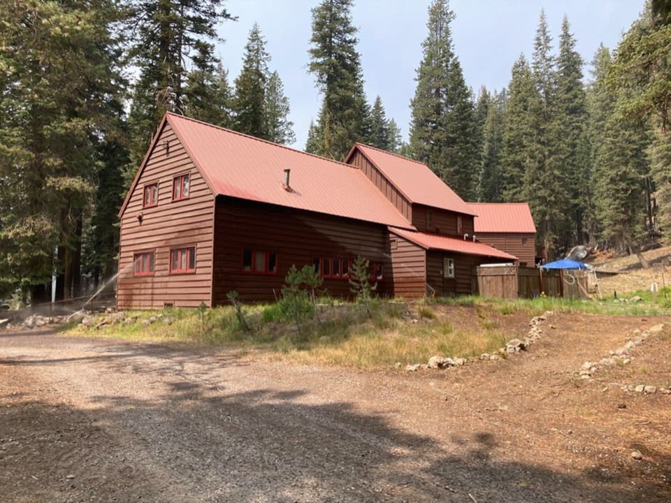
Use Willow Lake Campground at the end of Forest Road 29N14; the mapped trailhead is at the road end, with a short path to the PCT. From Chester, take County Road 318, then County Road 312 and County Road 311 toward Domingo Springs, then turn onto FR 29N14. The road changes from gravel to maintained dirt and is described as passable for ordinary vehicles, but it can be muddy and slick during spring snowmelt or rain. Lot capacity and fees were not established.

Safety

Stay on the path by the fen: footing can be spongy and the floating mats hold rare plants. At the vent, thin crust can conceal acidic boiling water or mud. Standing dead trees in Dixie Fire-affected areas can fall without warning. Pets are prohibited on the park hiking trail.

1 active Lassen Volcanic alert

  • ClosureJuniper Lake campground and day-use area closedJuniper Lake Campground and day-use area are closed for maintenance and campground-improvement projects. - Potable water is unavailable in the campground.Official details
Lassen Volcanic alerts
A park ranger sits on a dash-mounted phone, talking, as Parkwolf’s Tour Guide plays “Army Cutworm Moths: A Grizzly Bear Buffet” on Grand Loop Road below Dunraven Pass in Yellowstone
Parkwolf Tour GuideThe highest, rockiest slopes around here are a summer buffet for grizzly bears.

Lassen Volcanic Tour Guide

Your drive to Little Willow Lake to Terminal Geyser Trail, narrated.

Parkwolf is a GPS audio tour guide for Lassen Volcanic National Park. As you drive, it chimes in with what’s ahead: hidden gems, upcoming stops, history, geology, and wildlife, right through your car’s speakers.

See the Lassen Volcanic audio tour

More stories near here in the app

  • How Rock Becomes Mud
  • The Lake That Became a Meadow
  • Warner Valley and Drakesbad
  • A Dragonfly’s Life Before Flight
  • 45 audio storiesacross Lassen Volcanic’s roads, triggered by GPS as you drive
  • Wildlife heatmapsfor Black Bear, Bald Eagle, Mule Deer, and 13 more
  • Works offlinemaps, 59 trails, 56 places, and audio download before you lose signal
  • CarPlay readysimple controls built for the drive
★★★★★
“Fantastic app with many points of information… It’s great to just turn on while you’re driving and it gives you an audio tour of the national Park. We love it!!!!”
JMJamesApp Store review
Download Parkwolf on the App StoreGet Parkwolf on Google Play

4.7 from 8,600+ ratings

Trail guide

Hiking Little Willow Lake to Terminal Geyser Trail

The short southern approachThis out-and-back links Little Willow Lake with Terminal Geyser over about 3.

This out-and-back links Little Willow Lake with Terminal Geyser over about 3.2 miles round trip from the mapped trailhead. A short path from the road-end campground reaches the Pacific Crest Trail, then a spur drops to the steam vent. Plan about 2 to 2.5 hours. A 2.6-mile lakeside distance is also published; this measurement includes the mapped access link to the PCT and the same route back. It is the shorter approach compared with the separate 5.8-mile Warner Valley route.

The lake and the walkWillow Lake sits in a rare sphagnum fen, with floating moss mats that can be more than two feet…

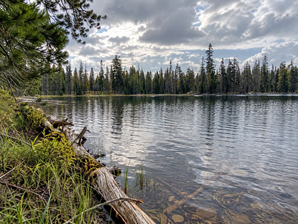
Willow Lake sits in a rare sphagnum fen, with floating moss mats that can be more than two feet thick. The Forest Service warns that footing near the lake can be spongy and uneven, and asks visitors to stay off the fen and its unusual plants. American scheuchzeria, once thought eliminated from California after Lake Almanor formed, was rediscovered here in 1988; English and roundleaf sundews also grow around the lake.

From the trailhead, follow the access path to the PCT by the lake's upper shore. The route climbs to a high point, then descends toward the geyser basin; on the return, you climb back through the same rolling ground. The mapped profile reaches roughly 6,365 feet before dropping to about 5,970 feet at the vent, so the short mileage still includes a real climb.

At Terminal GeyserTerminal Geyser is a steam vent, not a true erupting geyser.

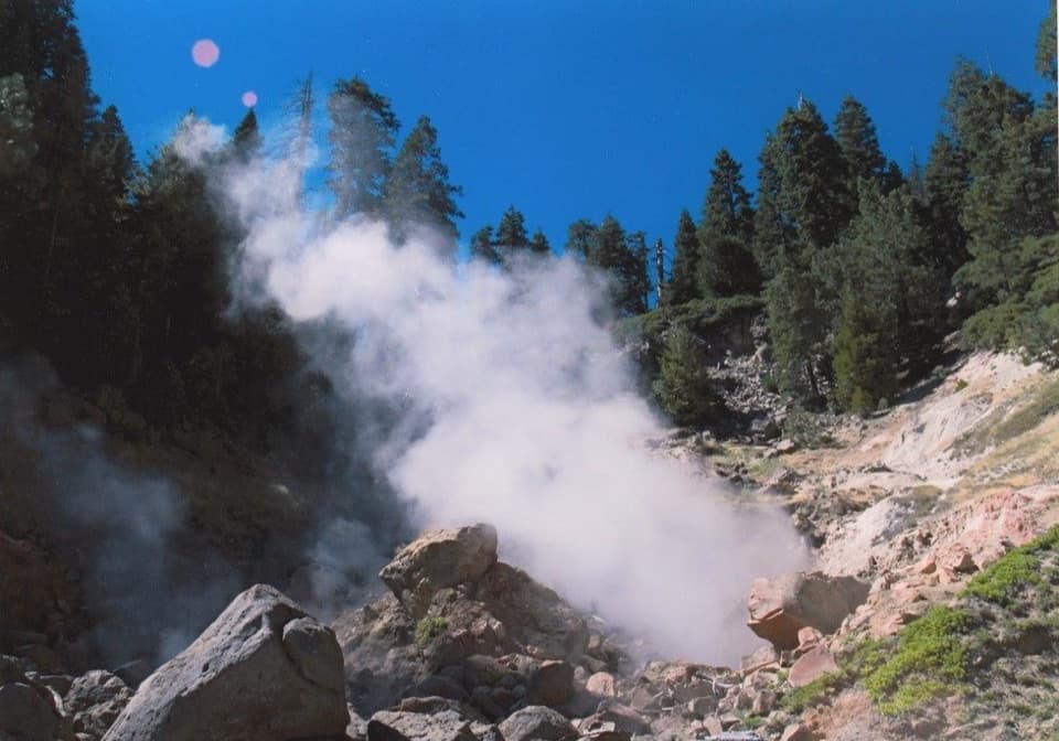
Terminal Geyser is a steam vent, not a true erupting geyser. The plume rising over the rocky basin is the payoff and the natural photo stop; stay on the established trail for the view. Hydrothermal crust can look solid while hiding acidic boiling pools or mud, so do not walk closer to the steam or across pale ground. The trail crosses Dixie Fire-affected forest, where standing dead trees can fall without warning. Pets are not allowed on the hiking trail inside the national park.

Wildlife

Wildlife in Lassen Volcanic

All Lassen Volcanic wildlife maps

Sighting maps show where each species has been reported across Lassen Volcanic. Wildlife moves, so no sighting is guaranteed.

Keep exploring

Near Little Willow Lake to Terminal Geyser Trail

See it all on the map

Trails that start nearby

Places near the trailhead

Parkwolf’s Lassen Volcanic ranking

Top-rated trails in Lassen Volcanic

All 59 trails
  1. 1Lassen Peak TrailChallenging · 5 mi
  2. 2Cinder Cone TrailChallenging · 4 mi
  3. 3Bumpass Hell TrailModerate · 3 mi
  4. 4Brokeoff Mountain TrailChallenging · 7.4 mi
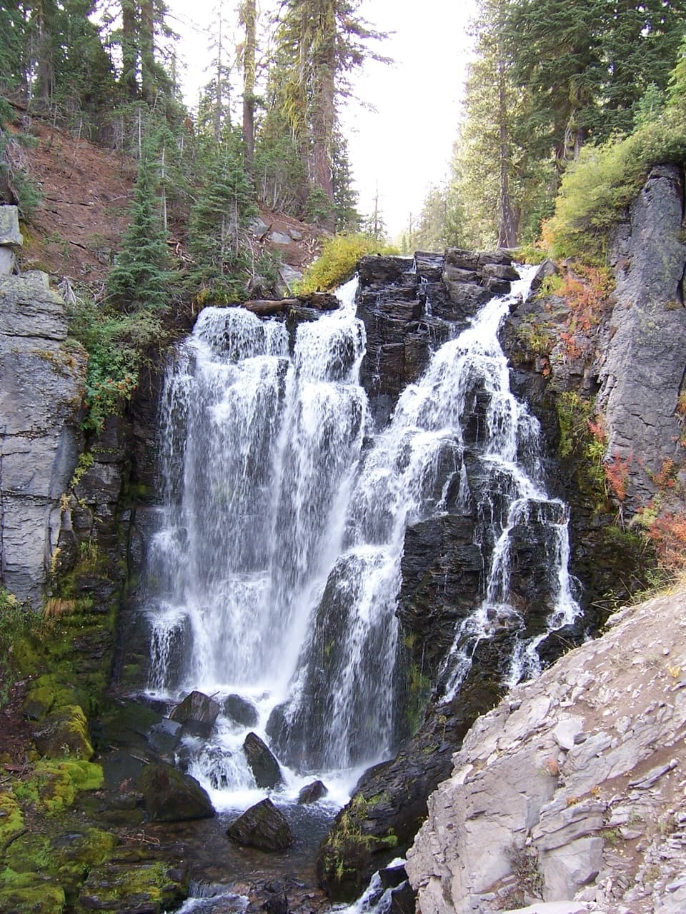
  5. 5Kings Creek Falls TrailModerate · 2.8 mi
  6. 6Manzanita Lake LoopEasy · 1.8 mi

Take Parkwolf to Lassen Volcanic.

The audio tour guide for the drive, plus offline maps, trails, and wildlife heatmaps for when the signal drops.

4.7 from 8,600+ ratings

Download Parkwolf on the App StoreGet Parkwolf on Google Play