Parking
Start at Bracklinn Falls Car Park, off Bracklinn Road north of Callander. A path also links the falls with Callander town centre for a longer walk-in approach.
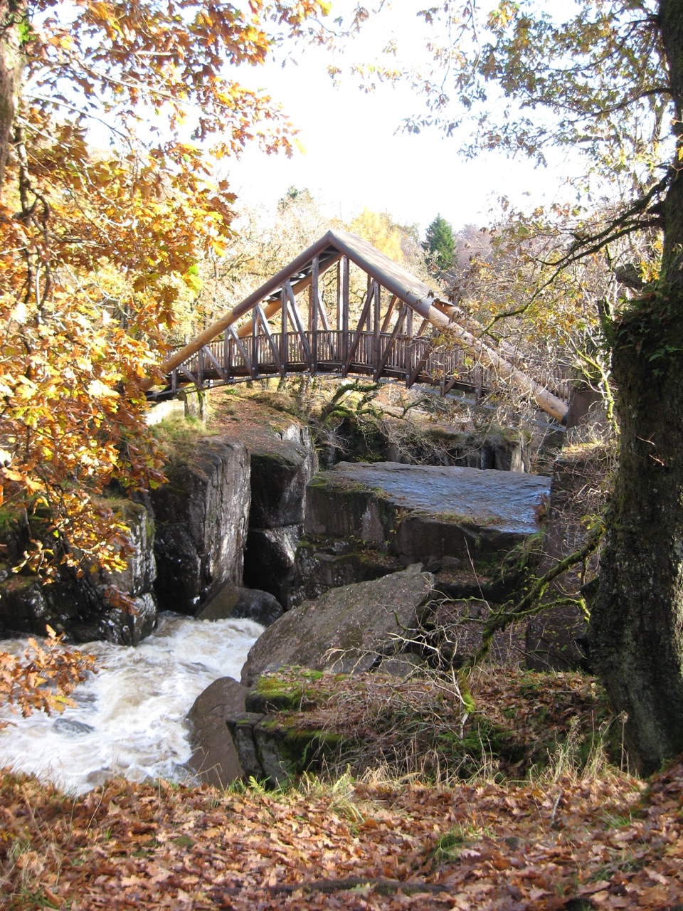
Loch Lomond & The Trossachs National Park, SC
A high bridge over the falls, then a proper woodland loop.
Overview
Map & elevation
Plan your hike

The highest, rockiest slopes around here are a summer buffet for grizzly bears.
Loch Lomond & The Trossachs Tour Guide
Parkwolf is a GPS audio tour guide for Loch Lomond & The Trossachs National Park. As you drive, it chimes in with what’s ahead: hidden gems, upcoming stops, history, geology, and wildlife, right through your car’s speakers.
Recorded for this trailhead
Bracklinn Falls above Callander“You're approaching the Bracklinn Falls car park above Callander. From the car park, the path descends through woods to a bridge over the Keltie Water, where the falls tumble through a tight rock gorge.”
Plays as you drive up to this trailhead in the Parkwolf Loch Lomond & The Trossachs Tour Guide.
More stories near here in the app
“Fantastic app with many points of information… It’s great to just turn on while you’re driving and it gives you an audio tour of the national Park. We love it!!!!”


Trail guide
Bracklinn Falls Circuit is a 3.5-mile loop from the falls car park north of Callander. It descends through woodland to a bridge above the waterfall, climbs into the upper glen, crosses the Keltie Water again near Scout Pool, then returns on a minor road. Official figures give 5.3 km and two to two and a half hours; the distances are rounded. The moderate circuit combines a waterfall, two river crossings and mountain views in a half day.
The waymarked path starts with a gradual descent through trees. The falls get louder before they come into view, then the track bends sharply and drops to Bracklinn Bridge. From the steel bridge, you look over the Keltie Water as it cuts through a rocky gorge. The current bridge opened in 2023. Steep drops and deep water sit close to the path, and rocks around the gorge can be slippery. For a photo, frame the bridge with the water and gorge beneath it; that shows the height better than a close shot of the falls alone.
Cross the bridge and turn left. A steeper climb takes you to a forest road, which winds through the trees before opening above the river. The views reach Ben Ledi, Stuc a’ Chroin and Ben Vorlich. After the enclosed gorge, you can finally see out across the glen.
The circuit crosses Keltie Water a second time near Scout Pool, then climbs to the minor road. The pool lies about 200 metres below the second bridge; the rough path down runs along the gorge edge and is an optional spur, not needed to finish the loop. Turn left on the road for the countryside return to the car park. This final stretch is easier underfoot but puts you on a minor road rather than a trail.
Allow about two and a quarter hours, including a stop at the bridge. Expect compacted paths with loose material and steps, plus a steeper climb after the falls. Start at Bracklinn Falls Car Park off Bracklinn Road; a path also links the falls with Callander town centre, adding distance. There is no café or shop on the route; Callander has the nearest public toilets, shops and cafés. Dogs may use the route under Scotland’s outdoor access rules when kept under proper control.
Wildlife
 14 sightingsGolden EagleMost seen around 6 PMSighting map
 37 sightingsRed DeerMost seen around 7 PMSighting map
 100 sightingsMute SwanMost seen around 11 AMSighting map
 48 sightingsOspreyMost seen around 6 PMSighting map
 24 sightingsEurasian BeaverMost seen around 8 PMSighting map
 37 sightingsEurasian Pine MartenMost seen around 7 PMSighting map
Sighting maps show where each species has been reported across Loch Lomond & The Trossachs. Wildlife moves, so no sighting is guaranteed.
Keep exploring
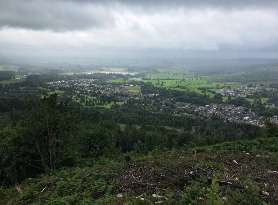 ChallengingCallander Crags Trail3.7 km · 1.8 hr · 0.4 km awayA steep loop from Callander to a crag-top view over town.
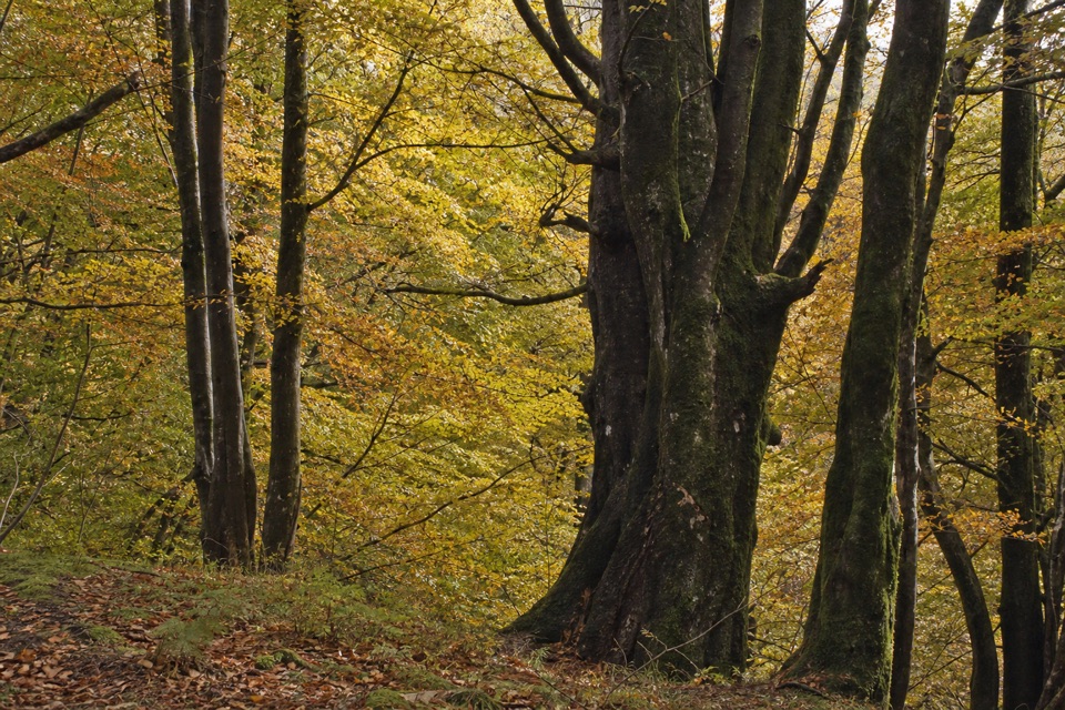 ModerateLower Woods, Callander3.2 km · 1 hr · 0.4 km awayTrees, a Menteith Hills viewpoint, and a short street return.
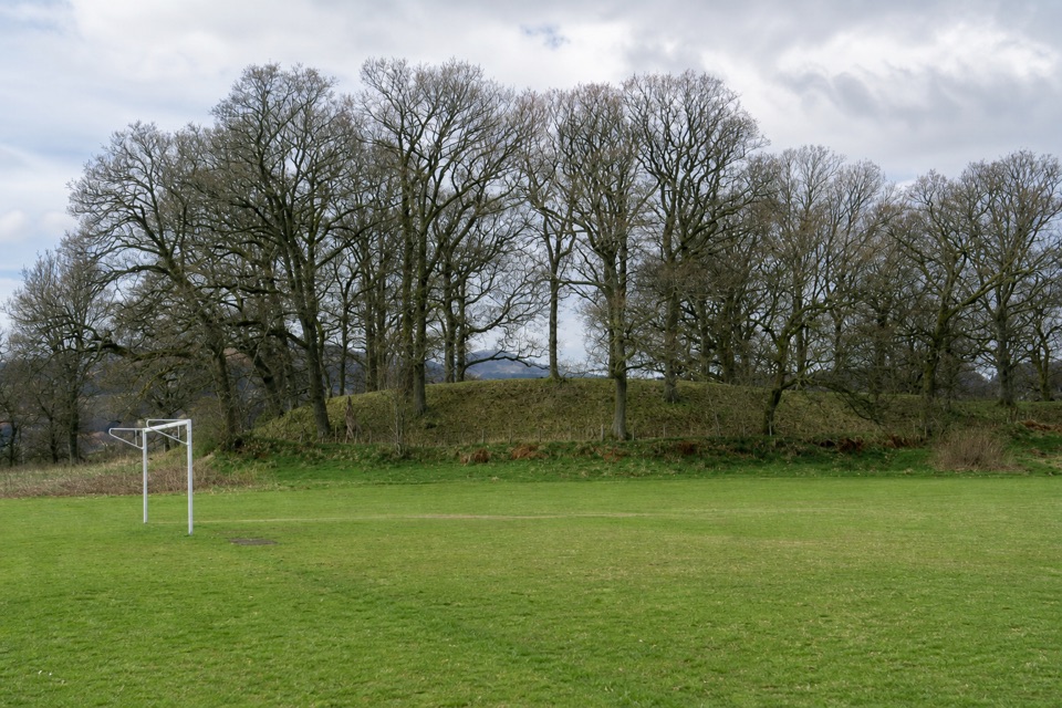 EasyThe Glacier Trail4.8 km · 1.5 hr · 0.9 km awayThe ice left two landforms on this easy Callander loop
 ModerateThe Great Trossachs Path48.3 km · 13 hr · 1.1 km awayA 30-mile crossing from Callander's old railway to Loch Lomond.
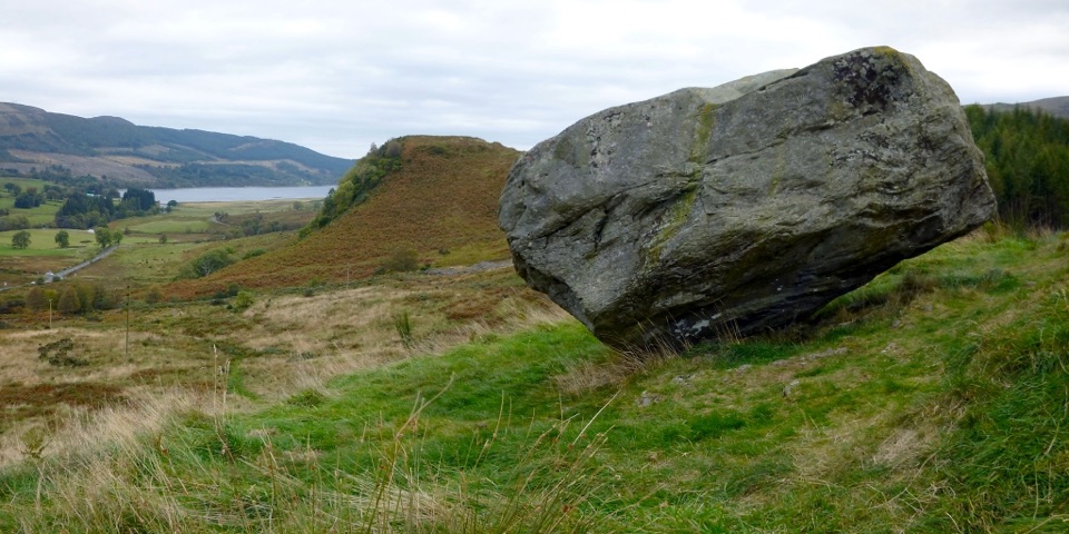 ModerateSamson’s Stone and Dunmore Fort Circuit7.9 km · 2.5 hr · 1.2 km awayA boulder, an Iron Age fort, and a steep grassy climb.
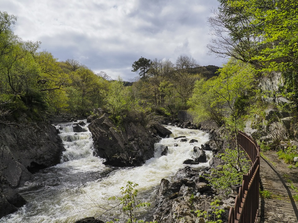 ModerateBochastle and the Falls of Leny7.6 km · 2 hr · 3 km awayA forest loop with glen views and a detour to the Falls.
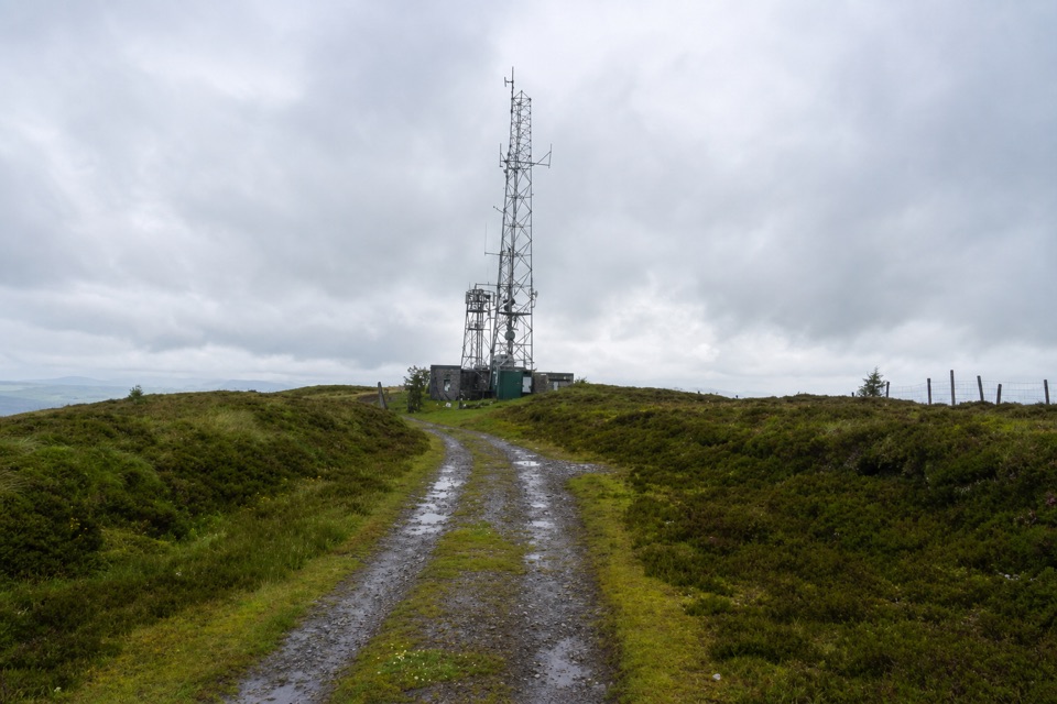 EasyBen Gullipen5.1 km · 2.5 hr · 4.1 km awayA short climb to a wide summit above Callander.
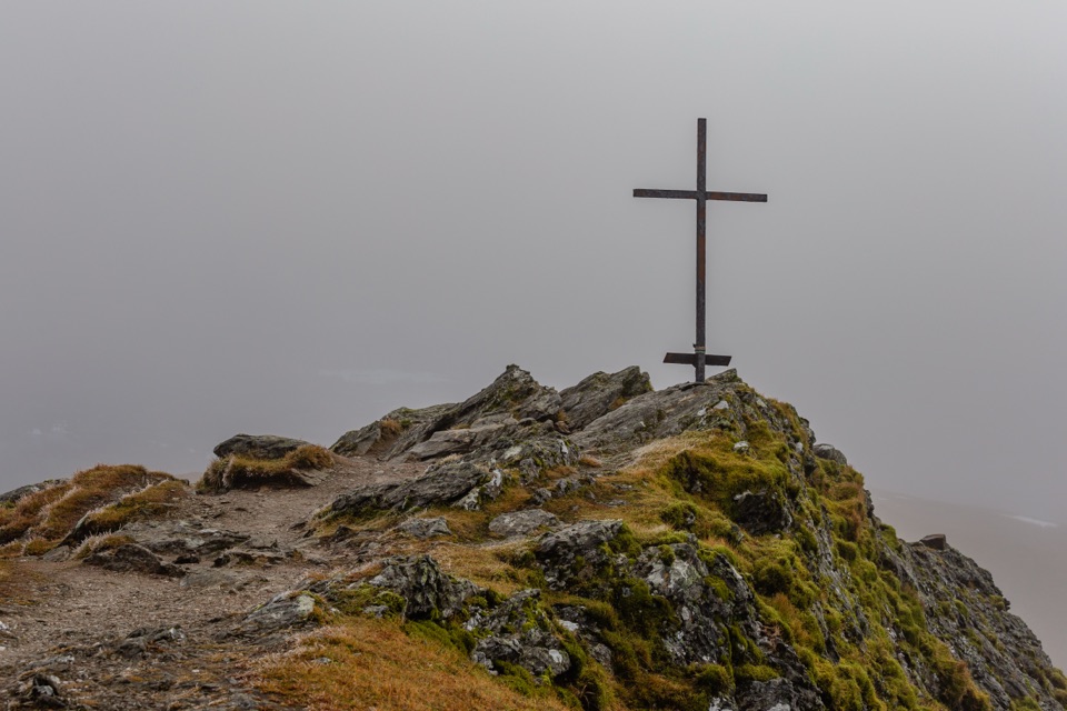 ChallengingBen Ledi Summit Walk7.6 km · 4.5 hr · 5.1 km awaySteep climb to a memorial cross and broad Trossachs views
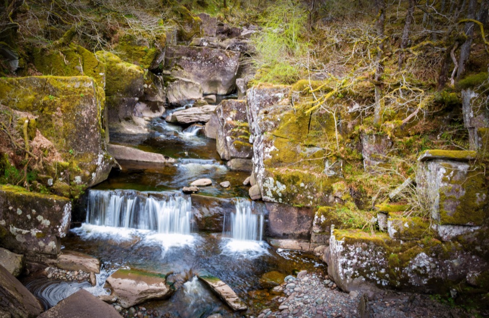 Sight · 0.8 km awayBracklinn FallsA woodland walk to tumbling water and a deep rock gorge.
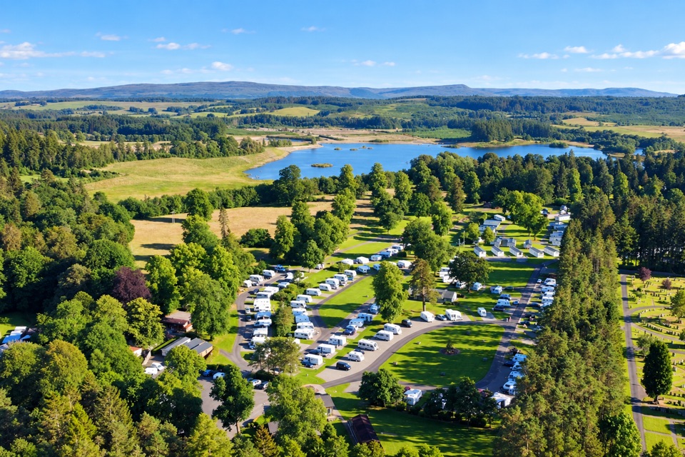 Campground · 1.6 km awayCallander Woods Holiday ParkA practical Trossachs base, with woodland, pitches and a loch nearby.
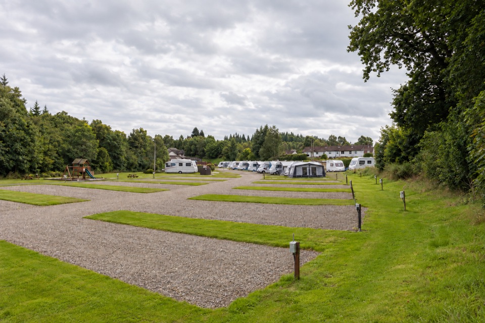 Campground · 1.7 km awayKeltie Bridge Caravan ParkRiverside pitches with solid facilities, a walk from CallanderSight · 4.5 km awayFalls of Leny ViewpointFoaming rapids split around a huge rock in a wooded gorge
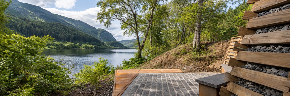 Sight · 7.1 km awayFaerie Hollow — Loch LubnaigVerse in metal tucked in a faerie hollow facing Ben Ledi
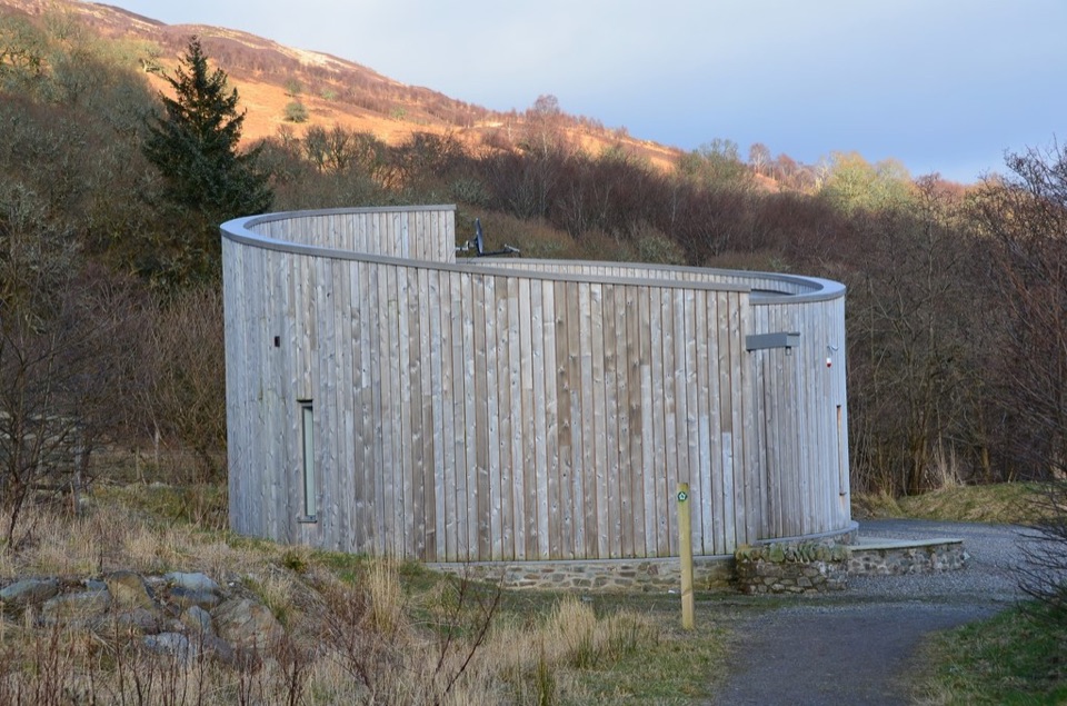 Visitor center · 9.3 km awayGlen Finglas Visitor GatewayPlan nine routes or a 2 km sculpture trail from here.
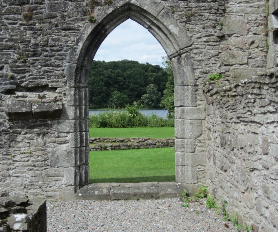 Sight · 10 km awayInchmahome PrioryA short boat ride to a 13th-century island priory ruin
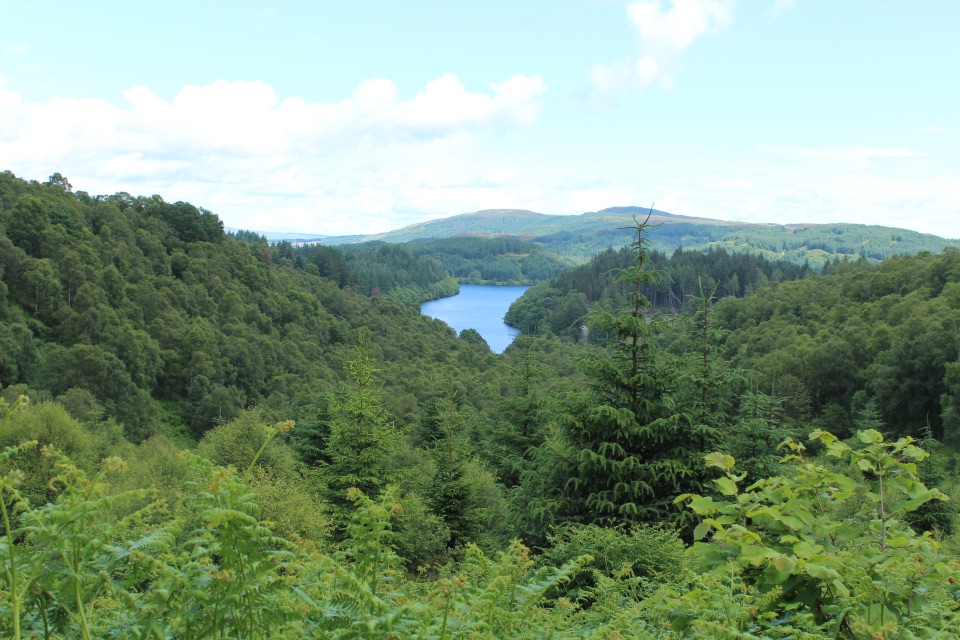 Picnic area · 10.8 km awayLoch Drunkie Picnic AreaThe easy picnic stop with the drive’s nicest shore walk.
Parkwolf’s Loch Lomond & The Trossachs ranking

The audio tour guide for the drive, plus offline maps, trails, and wildlife heatmaps for when the signal drops.




