Parking
At the east end of Callander’s Main Street, follow the signed uphill road toward The Crags and Bracklinn Falls for about 500 m. The free Callander Crags Car Park is on the left.
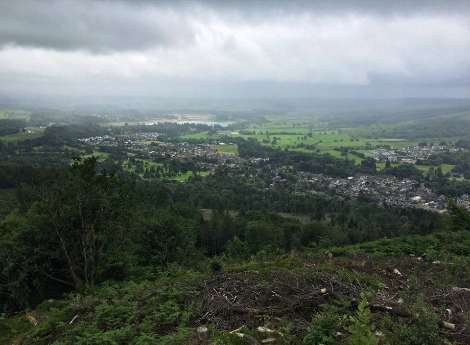
Loch Lomond & The Trossachs National Park, SC
A steep loop from Callander to a crag-top view over town.
Overview
Map & elevation
Plan your hike

The highest, rockiest slopes around here are a summer buffet for grizzly bears.
Loch Lomond & The Trossachs Tour Guide
Parkwolf is a GPS audio tour guide for Loch Lomond & The Trossachs National Park. As you drive, it chimes in with what’s ahead: hidden gems, upcoming stops, history, geology, and wildlife, right through your car’s speakers.
Recorded for this trailhead
Bracklinn Falls above Callander“You're approaching the Bracklinn Falls car park above Callander. From the car park, the path descends through woods to a bridge over the Keltie Water, where the falls tumble through a tight rock gorge.”
Plays as you drive up to this trailhead in the Parkwolf Loch Lomond & The Trossachs Tour Guide.
More stories near here in the app
“Fantastic app with many points of information… It’s great to just turn on while you’re driving and it gives you an audio tour of the national Park. We love it!!!!”


Trail guide
Callander Crags Trail is a 2.3-mile (3.7 km) loop from Callander Crags Car Park. It climbs through conifer woodland to the crag edge, then returns through mixed woodland. From the high path, you look over Callander toward Loch Venachar, Ben Ledi and the Trossachs. Allow 1½ to 2 hours. Other local descriptions round it to about 4 km; this distance is for the loop, with the optional cairn spur extra.
The distance is modest, but this is a strenuous walk. Follow the forest road through the barrier; when the path turns right into conifers, the steep climb begins. Long uneven rock steps, muddy rooted ground and loose material make the footing slower. The route follows the crag edge, so take care where the path runs close to the drop. If that climb sounds like too much, Lower Woods is a separate, shorter 2-mile walk from the same car park.
At the top of the crag steps, turn left for the main circuit. A 200 m detour to the right reaches the Queen Victoria Diamond Jubilee Cairn; it was built in 1897 and also commemorates Queen Elizabeth II’s Diamond Jubilee. The crags are part of the Highland Boundary Fault, formed when ancient continents collided about 390 million years ago. From the upper path, look back toward Callander: rooftops and fields below the wooded slope make the view feel taller. Follow the crag-top path, then descend through beech, oak and birch woodland. The waymarked Lower Woods route returns to the car park; another path branches down toward town.
At the east end of Callander’s Main Street, follow the signed uphill road toward The Crags and Bracklinn Falls for about 500 m. The free Callander Crags Car Park is on the left. There are no toilets, shops or cafés on the trail; the nearest are in Callander. Dogs are allowed under Scotland’s access rules. From April to July, keep them on a short lead or close at heel in forest and other ground-nesting-bird habitat.
Wildlife
 14 sightingsGolden EagleMost seen around 6 PMSighting map
 37 sightingsRed DeerMost seen around 7 PMSighting map
 100 sightingsMute SwanMost seen around 11 AMSighting map
 48 sightingsOspreyMost seen around 6 PMSighting map
 24 sightingsEurasian BeaverMost seen around 8 PMSighting map
 37 sightingsEurasian Pine MartenMost seen around 7 PMSighting map
Sighting maps show where each species has been reported across Loch Lomond & The Trossachs. Wildlife moves, so no sighting is guaranteed.
Keep exploring
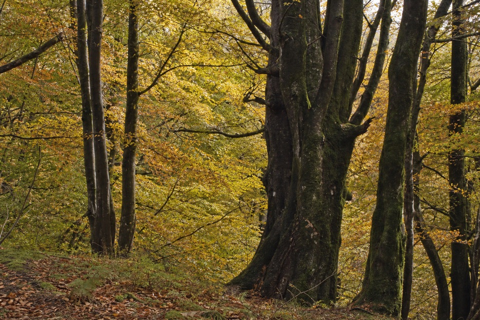 ModerateLower Woods, Callander3.2 km · 1 hr · At the trailheadTrees, a Menteith Hills viewpoint, and a short street return.
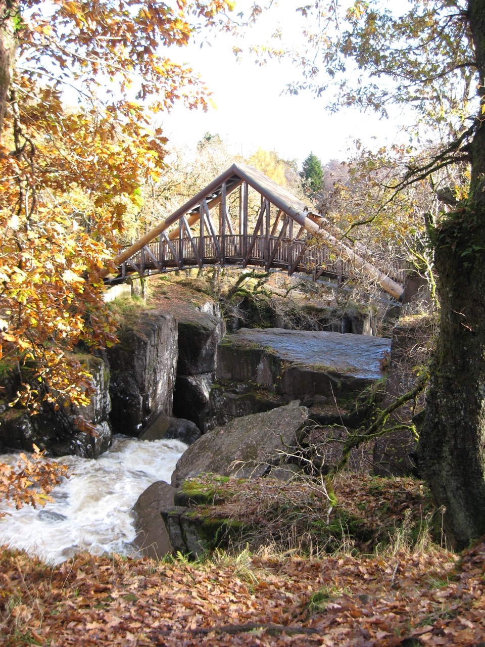 ModerateBracklinn Falls Circuit5.6 km · 2.3 hr · 0.4 km awayA high bridge over the falls, then a proper woodland loop.
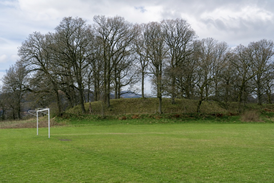 EasyThe Glacier Trail4.8 km · 1.5 hr · 0.5 km awayThe ice left two landforms on this easy Callander loop
 ModerateThe Great Trossachs Path48.3 km · 13 hr · 0.8 km awayA 30-mile crossing from Callander's old railway to Loch Lomond.
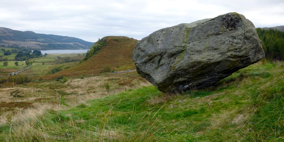 ModerateSamson’s Stone and Dunmore Fort Circuit7.9 km · 2.5 hr · 0.8 km awayA boulder, an Iron Age fort, and a steep grassy climb.
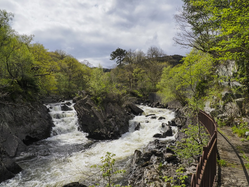 ModerateBochastle and the Falls of Leny7.6 km · 2 hr · 2.6 km awayA forest loop with glen views and a detour to the Falls.
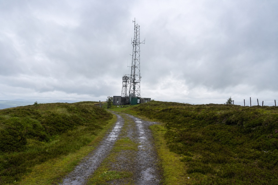 EasyBen Gullipen5.1 km · 2.5 hr · 3.8 km awayA short climb to a wide summit above Callander.
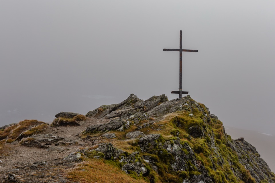 ChallengingBen Ledi Summit Walk7.6 km · 4.5 hr · 4.7 km awaySteep climb to a memorial cross and broad Trossachs views
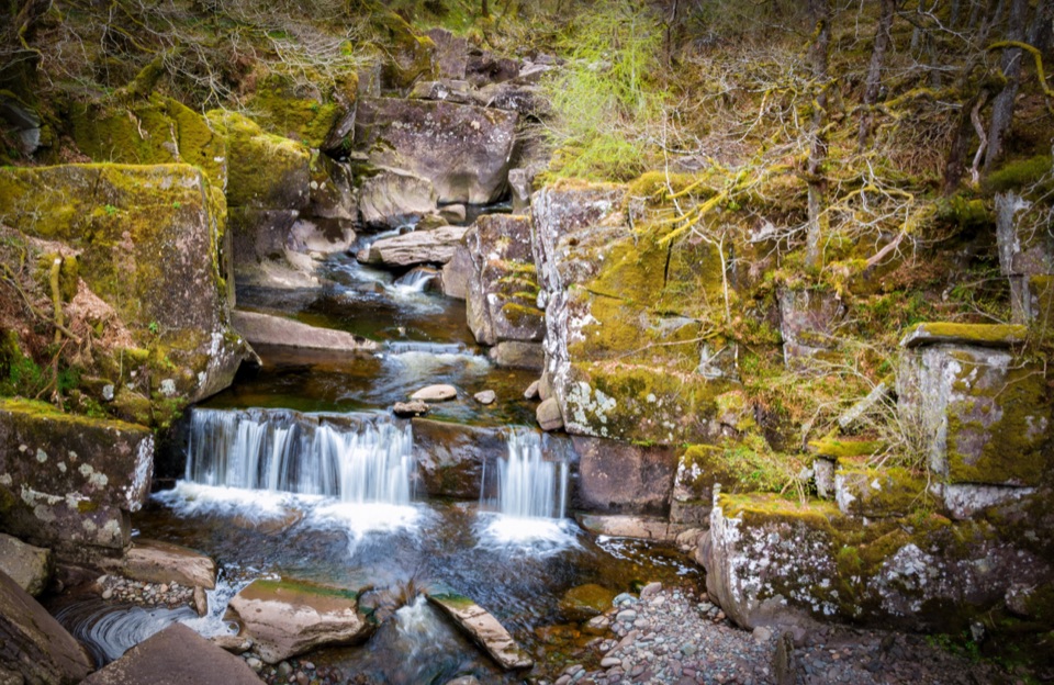 Sight · 1.2 km awayBracklinn FallsA woodland walk to tumbling water and a deep rock gorge.
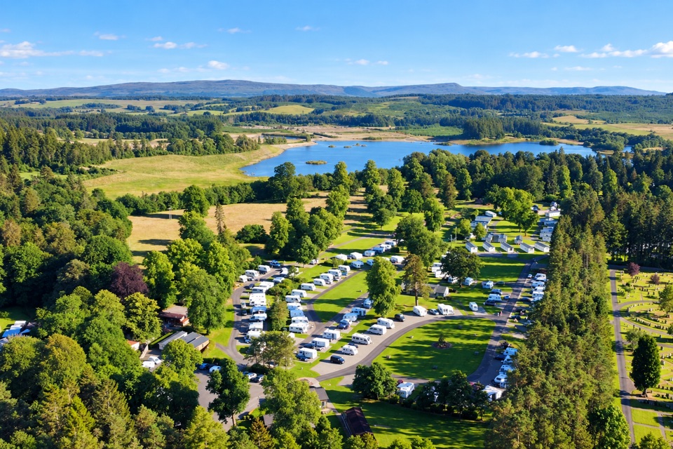 Campground · 1.6 km awayCallander Woods Holiday ParkA practical Trossachs base, with woodland, pitches and a loch nearby.
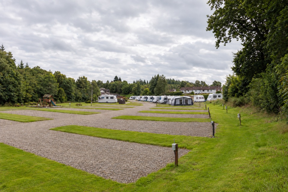 Campground · 1.9 km awayKeltie Bridge Caravan ParkRiverside pitches with solid facilities, a walk from CallanderSight · 4.2 km awayFalls of Leny ViewpointFoaming rapids split around a huge rock in a wooded gorge
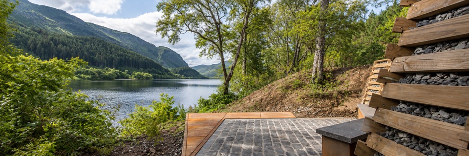 Sight · 7 km awayFaerie Hollow — Loch LubnaigVerse in metal tucked in a faerie hollow facing Ben Ledi
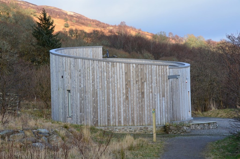 Visitor center · 8.9 km awayGlen Finglas Visitor GatewayPlan nine routes or a 2 km sculpture trail from here.
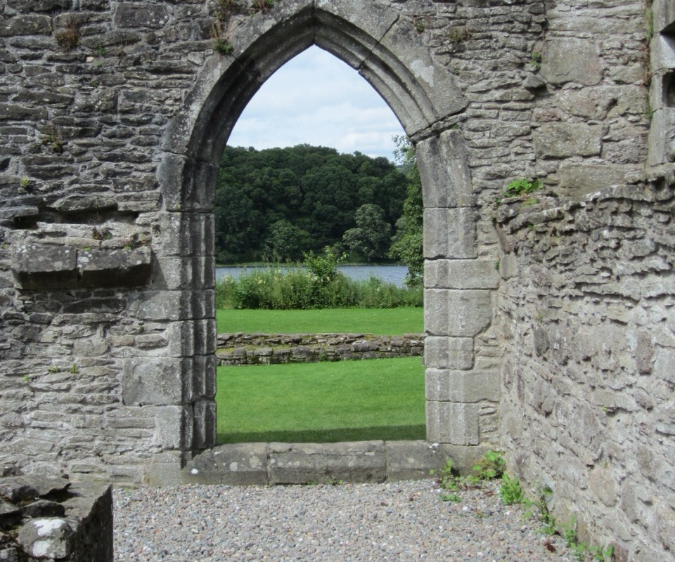 Sight · 9.6 km awayInchmahome PrioryA short boat ride to a 13th-century island priory ruin
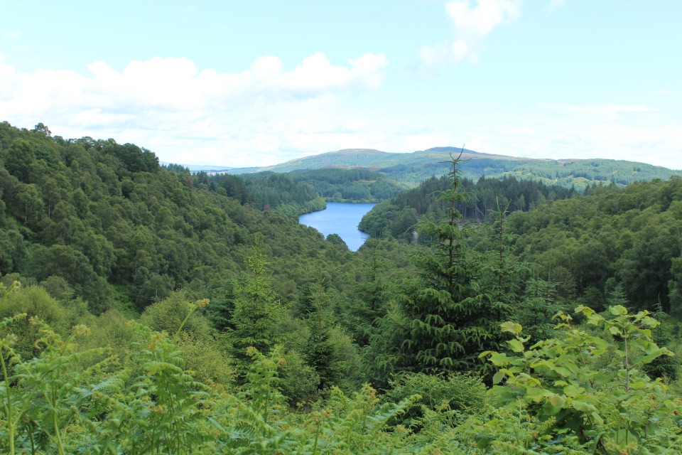 Picnic area · 10.4 km awayLoch Drunkie Picnic AreaThe easy picnic stop with the drive’s nicest shore walk.
Parkwolf’s Loch Lomond & The Trossachs ranking

The audio tour guide for the drive, plus offline maps, trails, and wildlife heatmaps for when the signal drops.




