Parking
Start at Callander Crags car park on Bracklinn Road.
Loch Lomond & The Trossachs National Park, SC
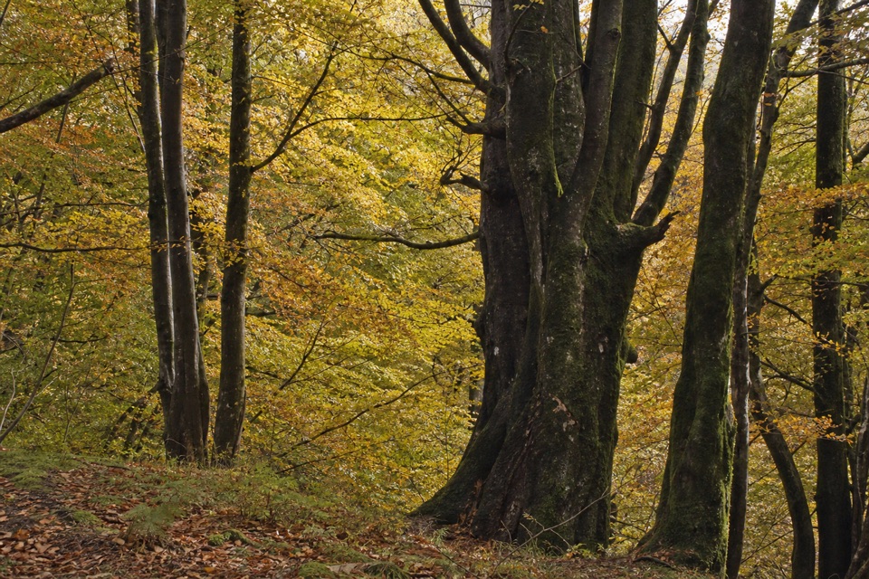
Trees, a Menteith Hills viewpoint, and a short street return.
Overview
Map & elevation
Plan your hike

The highest, rockiest slopes around here are a summer buffet for grizzly bears.
Loch Lomond & The Trossachs Tour Guide
Parkwolf is a GPS audio tour guide for Loch Lomond & The Trossachs National Park. As you drive, it chimes in with what’s ahead: hidden gems, upcoming stops, history, geology, and wildlife, right through your car’s speakers.
Recorded for this trailhead
Bracklinn Falls above Callander“You're approaching the Bracklinn Falls car park above Callander. From the car park, the path descends through woods to a bridge over the Keltie Water, where the falls tumble through a tight rock gorge.”
Plays as you drive up to this trailhead in the Parkwolf Loch Lomond & The Trossachs Tour Guide.
More stories near here in the app
“Fantastic app with many points of information… It’s great to just turn on while you’re driving and it gives you an audio tour of the national Park. We love it!!!!”


Trail guide
Lower Woods is a 2-mile loop from Callander Crags car park, through mature deciduous woodland to a viewpoint over the Menteith Hills, then down into west Callander and back by town streets. Allow about an hour. It suits a short walk with a bit of climbing and a view, though it doesn't stay in the woods the whole way.
The path rises gently at first and gets a little steeper as it reaches the viewpoint. Most of the surface is compacted, with some loose material and uneven patches. The view over the Menteith Hills is the route's main payoff. Beyond it, a short steep descent leads to west Callander; that's the main effort, so take it steadily.
Complete the loop to the car park on local streets, including Ancaster Road and Bracklinn Road. If you'd rather finish in town, you can continue to Callander's shops, cafés and restaurants. They're an after-walk stop, not an amenity along the wooded path.
Wildlife
 14 sightingsGolden EagleMost seen around 6 PMSighting map
 37 sightingsRed DeerMost seen around 7 PMSighting map
 100 sightingsMute SwanMost seen around 11 AMSighting map
 48 sightingsOspreyMost seen around 6 PMSighting map
 24 sightingsEurasian BeaverMost seen around 8 PMSighting map
 37 sightingsEurasian Pine MartenMost seen around 7 PMSighting map
Sighting maps show where each species has been reported across Loch Lomond & The Trossachs. Wildlife moves, so no sighting is guaranteed.
Keep exploring
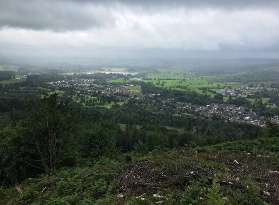 ChallengingCallander Crags Trail3.7 km · 1.8 hr · At the trailheadA steep loop from Callander to a crag-top view over town.
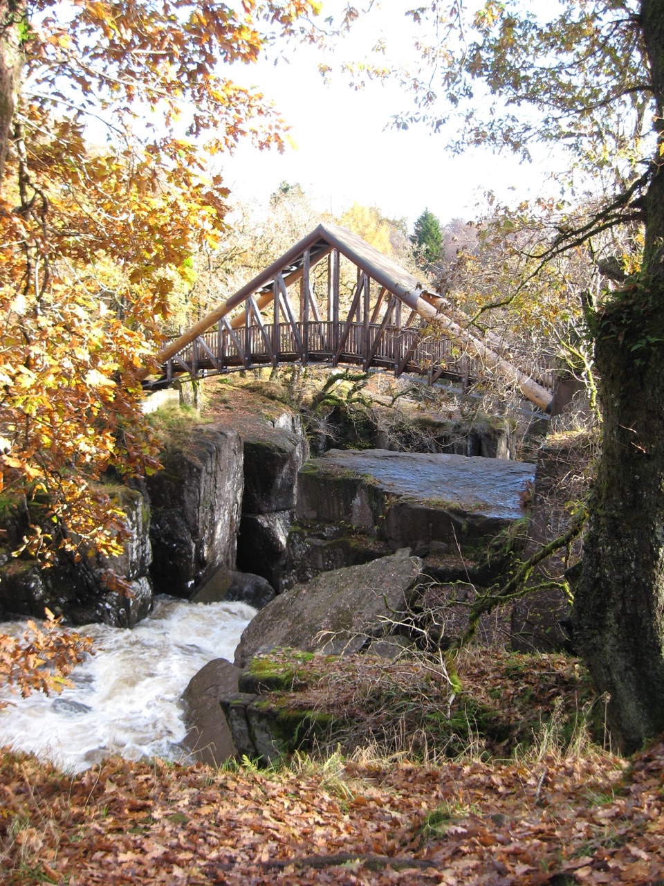 ModerateBracklinn Falls Circuit5.6 km · 2.3 hr · 0.4 km awayA high bridge over the falls, then a proper woodland loop.
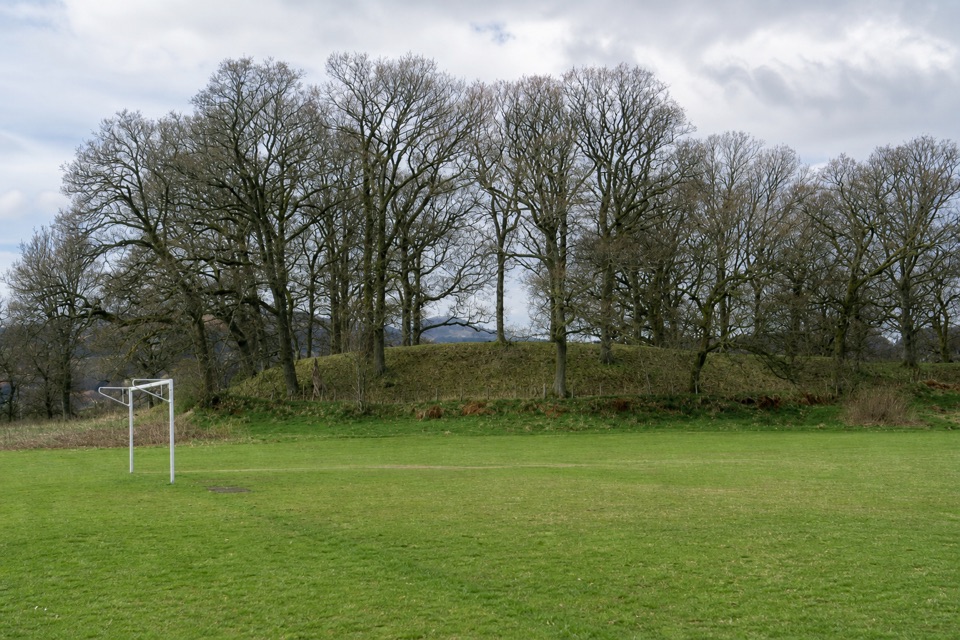 EasyThe Glacier Trail4.8 km · 1.5 hr · 0.5 km awayThe ice left two landforms on this easy Callander loop
 ModerateThe Great Trossachs Path48.3 km · 13 hr · 0.8 km awayA 30-mile crossing from Callander's old railway to Loch Lomond.
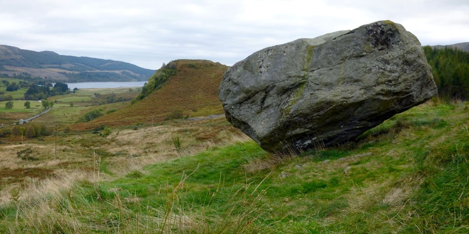 ModerateSamson’s Stone and Dunmore Fort Circuit7.9 km · 2.5 hr · 0.8 km awayA boulder, an Iron Age fort, and a steep grassy climb.
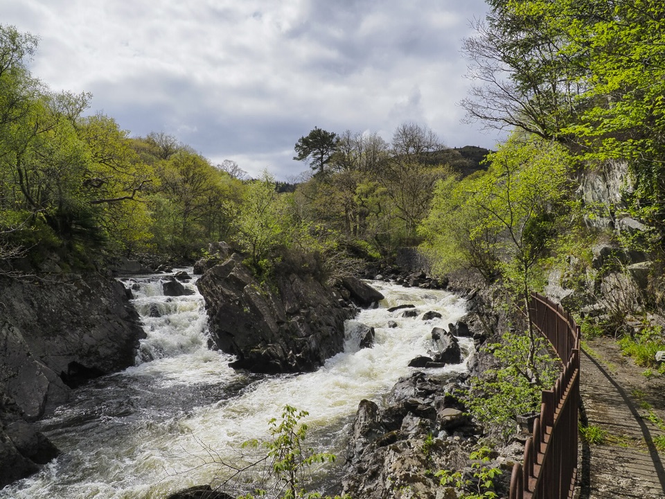 ModerateBochastle and the Falls of Leny7.6 km · 2 hr · 2.6 km awayA forest loop with glen views and a detour to the Falls.
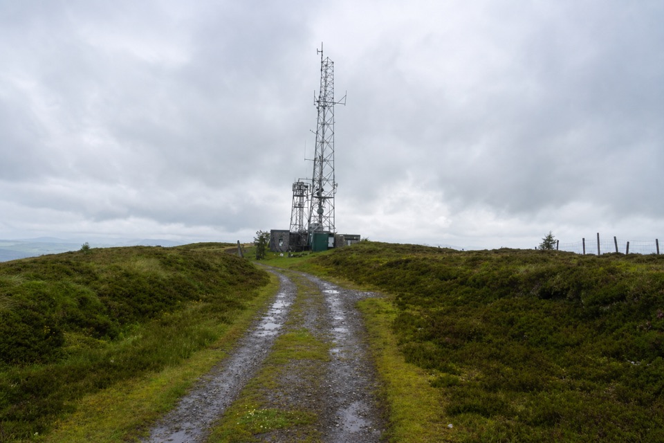 EasyBen Gullipen5.1 km · 2.5 hr · 3.8 km awayA short climb to a wide summit above Callander.
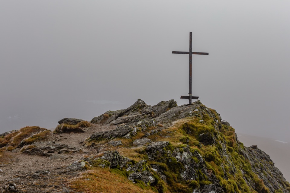 ChallengingBen Ledi Summit Walk7.6 km · 4.5 hr · 4.7 km awaySteep climb to a memorial cross and broad Trossachs views
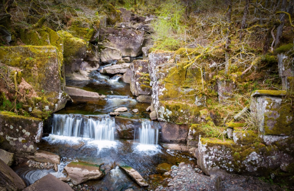 Sight · 1.2 km awayBracklinn FallsA woodland walk to tumbling water and a deep rock gorge.
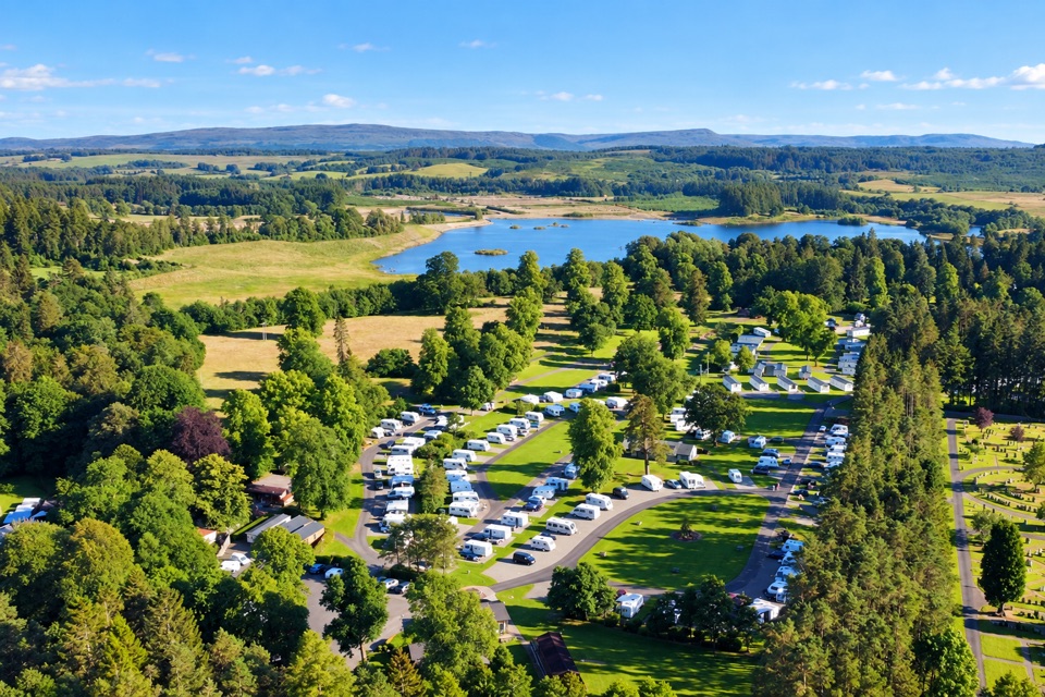 Campground · 1.6 km awayCallander Woods Holiday ParkA practical Trossachs base, with woodland, pitches and a loch nearby.
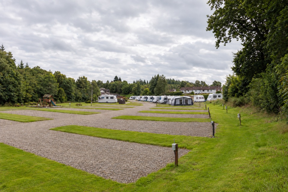 Campground · 1.9 km awayKeltie Bridge Caravan ParkRiverside pitches with solid facilities, a walk from CallanderSight · 4.2 km awayFalls of Leny ViewpointFoaming rapids split around a huge rock in a wooded gorge
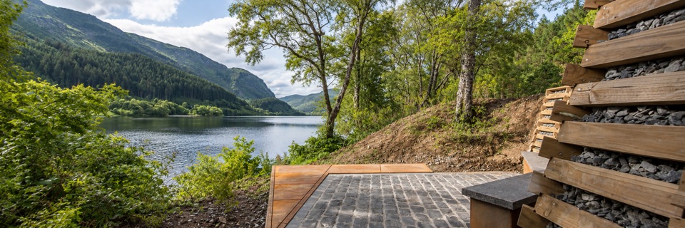 Sight · 7 km awayFaerie Hollow — Loch LubnaigVerse in metal tucked in a faerie hollow facing Ben Ledi
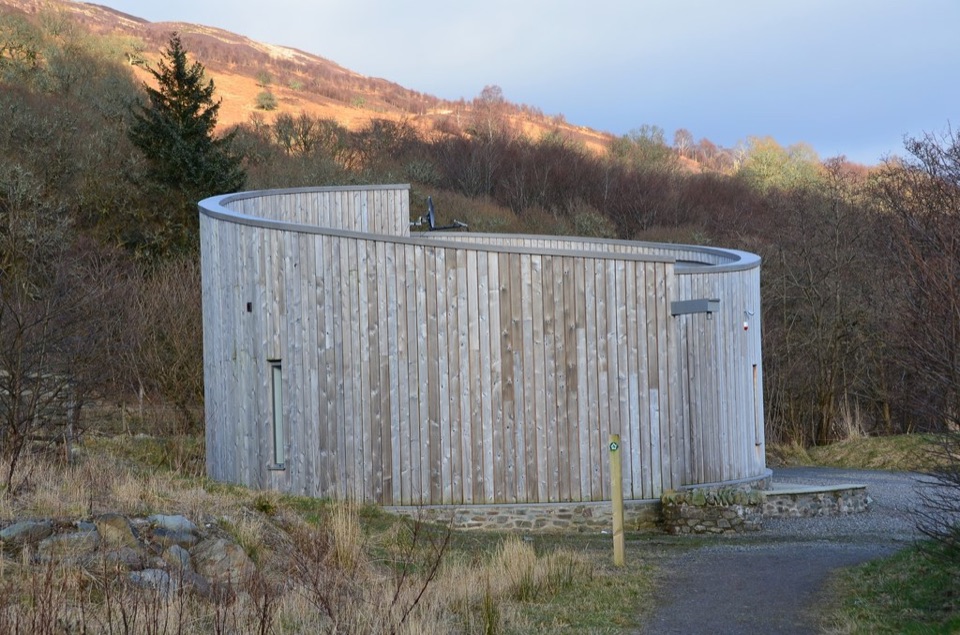 Visitor center · 8.9 km awayGlen Finglas Visitor GatewayPlan nine routes or a 2 km sculpture trail from here.
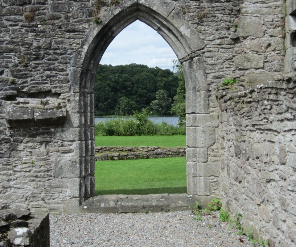 Sight · 9.6 km awayInchmahome PrioryA short boat ride to a 13th-century island priory ruin
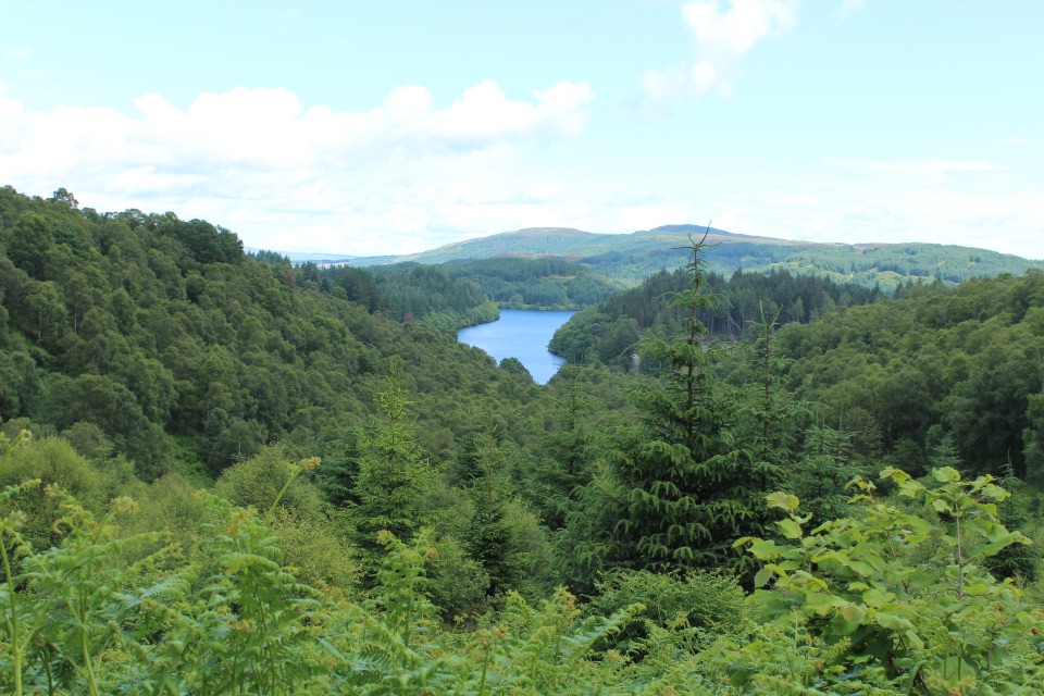 Picnic area · 10.4 km awayLoch Drunkie Picnic AreaThe easy picnic stop with the drive’s nicest shore walk.
Parkwolf’s Loch Lomond & The Trossachs ranking

The audio tour guide for the drive, plus offline maps, trails, and wildlife heatmaps for when the signal drops.




