Parking
From the A84, take the signed Strathyre Forest Cabins turn, cross the Garbh Uisge bridge, then turn left for Ben Ledi car park. The main lot is free and can fill on summer weekends; a few spaces are by the bridge.
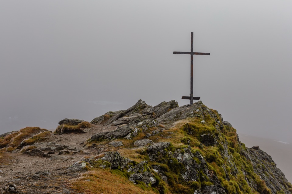
#8 of 93 trails in Loch Lomond & The Trossachs
Loch Lomond & The Trossachs National Park, SC
Steep climb to a memorial cross and broad Trossachs views
Overview
Map & elevation
Plan your hike

The highest, rockiest slopes around here are a summer buffet for grizzly bears.
Loch Lomond & The Trossachs Tour Guide
Parkwolf is a GPS audio tour guide for Loch Lomond & The Trossachs National Park. As you drive, it chimes in with what’s ahead: hidden gems, upcoming stops, history, geology, and wildlife, right through your car’s speakers.
Recorded for this trailhead
Ben Ledi Summit Walk“You're approaching the Ben Ledi trailhead, where a steep climb rises from the Loch Lubnaig side to a broad Trossachs summit.”
Plays as you drive up to this trailhead in the Parkwolf Loch Lomond & The Trossachs Tour Guide.
More stories near here in the app
“Fantastic app with many points of information… It’s great to just turn on while you’re driving and it gives you an audio tour of the national Park. We love it!!!!”


Trail guide
Ben Ledi Summit Walk is a 4.75-mile out-and-back from the Ben Ledi car park off the A84, climbing about 750 metres from the Loch Lubnaig side to the 879-metre summit and returning the same way. This is a steep hill walk, not a forest stroll or the longer Stank Glen return. Allow roughly four to five hours at a steady pace. The distance looks manageable, but most of the work is in the sustained climb and the same ground back down. You get a proper summit panorama, plus a cairn and memorial cross with their own stories.
From the car park, head back toward the Garbh Uisge bridge junction and take the path into the woods. The lower approach is a built path, but it steepens in places. You pass a commemorative grove planted for people from Callander who died in the First World War, then cross a forest track and climb stone steps. The first views open behind you over Loch Lubnaig and Callander. As the path rounds the southern nose, you can pick out the Wallace Monument; on a clear day, Stirling Castle and the Pentlands may appear farther south. Look back now and then. The route makes more sense when you see how quickly the loch drops away below you.
Above the trees, the route follows a broad grassy ridge with a good path. It is not one smooth ramp: there are false summits and short dips before the rockier top, so save a little energy for the last rise. Loch Venachar comes into view as you gain the ridge. The summit panorama takes in Lochs Lubnaig and Venachar, Ben Lomond, the Arrochar Alps, Ben Lui, Ben More and the Lawers range on a clear day. The cairn dates to 1887, built for Queen Victoria’s Golden Jubilee. The iron cross remembers Sergeant Harry Lawrie, who was killed while serving with Killin Mountain Rescue in 1987. A trig point sits among the summit rocks.
For the route and distance here, turn at the summit and retrace your steps. The full trail is 4.75 miles round trip; the route line shows the uphill corridor once. A longer return through Stank Glen makes a different, rougher circuit and is not included in that figure. If you follow that variant, the descent becomes boggier and less obvious near Lochan nan Corp. Missing the bealach turn can lead toward the crags at Creag na h-Iolaire; if you reach the lochan, backtrack to find the descent. The direct return avoids that navigation problem, though you still have a long, steep downhill.
The route is not waymarked, so take a map and compass and know how to use them, especially if visibility is poor. Winter snow can turn this into a serious mountain walk; drifted snow may block the track and heavy snow can build a dangerous cornice above the east corrie. Dogs are allowed under Scotland’s access rules but need to stay under proper control around wildlife and livestock. The free car park is reached from the A84 via the Strathyre Forest Cabins turn, over the Garbh Uisge bridge and left; it can fill on summer weekends, with a few spaces by the bridge. The nearest documented public toilets, shops and cafés are in Strathyre or Callander.
Wildlife
 14 sightingsGolden EagleMost seen around 6 PMSighting map
 37 sightingsRed DeerMost seen around 7 PMSighting map
 100 sightingsMute SwanMost seen around 11 AMSighting map
 48 sightingsOspreyMost seen around 6 PMSighting map
 24 sightingsEurasian BeaverMost seen around 8 PMSighting map
 37 sightingsEurasian Pine MartenMost seen around 7 PMSighting map
Sighting maps show where each species has been reported across Loch Lomond & The Trossachs. Wildlife moves, so no sighting is guaranteed.
Keep exploring
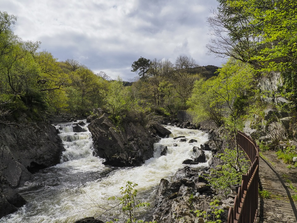 ModerateBochastle and the Falls of Leny7.6 km · 2 hr · 2.3 km awayA forest loop with glen views and a detour to the Falls.
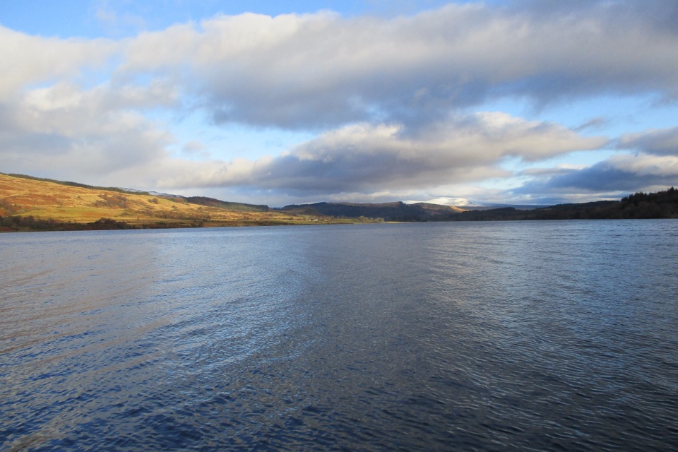 ModerateLoch Venachar Forestry Walk7.2 km · 2 hr · 3.5 km awayA forest loop to a hidden lochan and Ben Ledi views.
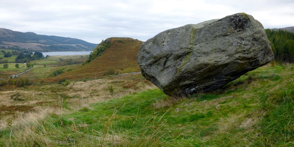 ModerateSamson’s Stone and Dunmore Fort Circuit7.9 km · 2.5 hr · 4 km awayA boulder, an Iron Age fort, and a steep grassy climb.
 ModerateThe Great Trossachs Path48.3 km · 13 hr · 4.1 km awayA 30-mile crossing from Callander's old railway to Loch Lomond.
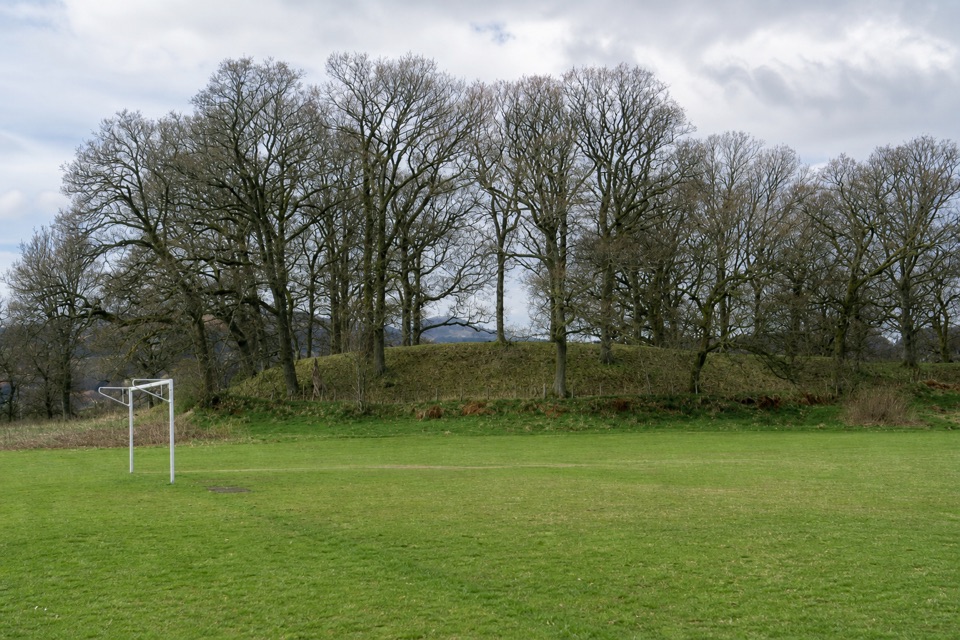 EasyThe Glacier Trail4.8 km · 1.5 hr · 4.3 km awayThe ice left two landforms on this easy Callander loop
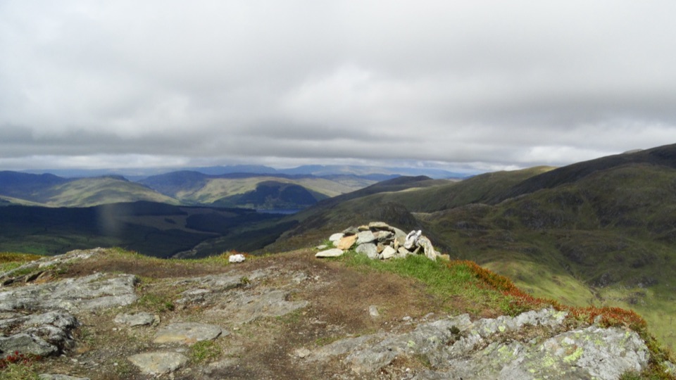 ChallengingBeinn Each6.8 km · 4 hr · 4.6 km awayA steep Corbett climb to a tiny cairn and wide Forth views
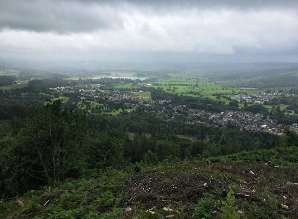 ChallengingCallander Crags Trail3.7 km · 1.8 hr · 4.7 km awayA steep loop from Callander to a crag-top view over town.
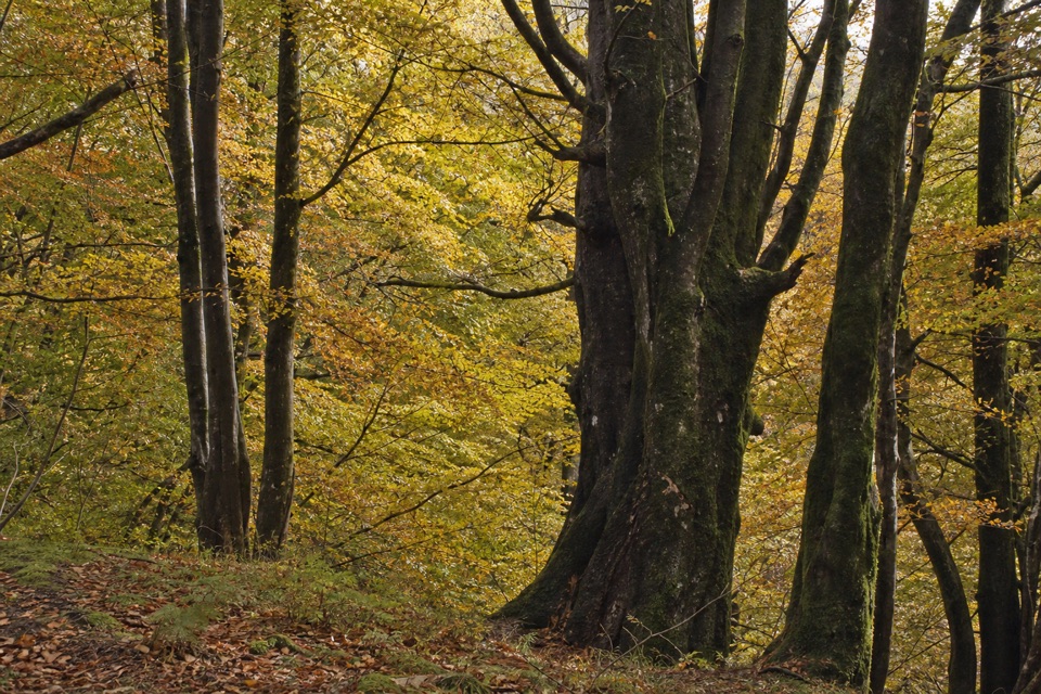 ModerateLower Woods, Callander3.2 km · 1 hr · 4.7 km awayTrees, a Menteith Hills viewpoint, and a short street return.Sight · 0.6 km awayFalls of Leny ViewpointFoaming rapids split around a huge rock in a wooded gorge
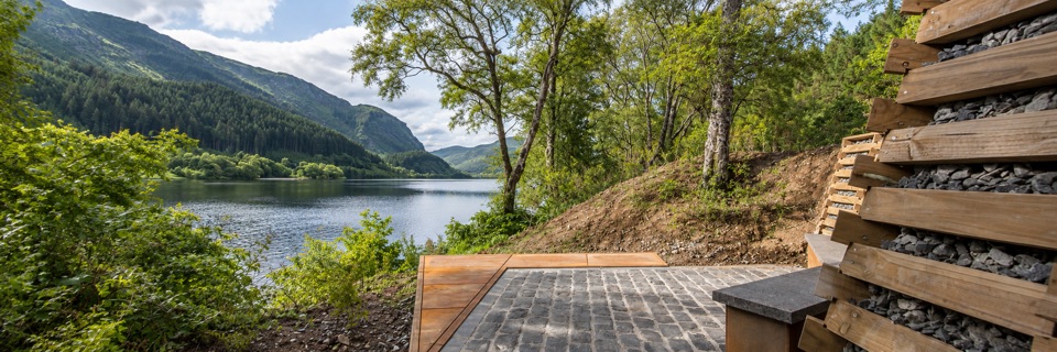 Sight · 4 km awayFaerie Hollow — Loch LubnaigVerse in metal tucked in a faerie hollow facing Ben Ledi
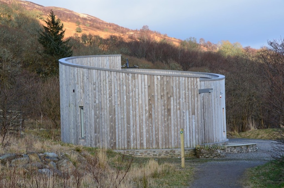 Visitor center · 4.9 km awayGlen Finglas Visitor GatewayPlan nine routes or a 2 km sculpture trail from here.
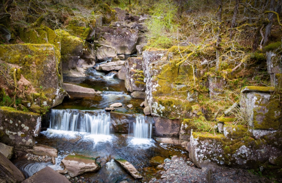 Sight · 5.8 km awayBracklinn FallsA woodland walk to tumbling water and a deep rock gorge.
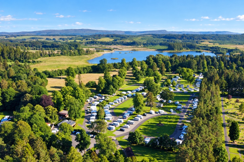 Campground · 6 km awayCallander Woods Holiday ParkA practical Trossachs base, with woodland, pitches and a loch nearby.
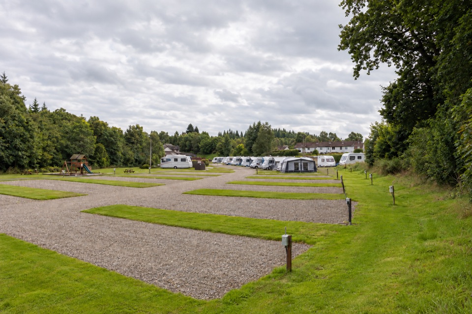 Campground · 6.6 km awayKeltie Bridge Caravan ParkRiverside pitches with solid facilities, a walk from Callander
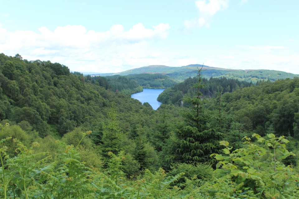 Picnic area · 6.9 km awayLoch Drunkie Picnic AreaThe easy picnic stop with the drive’s nicest shore walk.
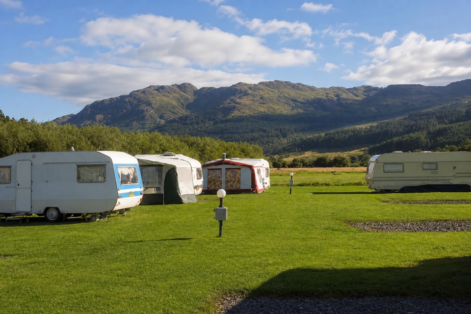 Campground · 7.7 km awayImmervoulin Caravan & Camping ParkA riverside campsite with mountain views and a walk to Loch Lubnaig.
Parkwolf’s Loch Lomond & The Trossachs ranking

The audio tour guide for the drive, plus offline maps, trails, and wildlife heatmaps for when the signal drops.




