Parking
Start on Helensburgh seafront by West Clyde Street. Dedicated long-stay parking at the endpoint was not confirmed; plan transport back from Dunbar separately.
Loch Lomond & The Trossachs National Park, SC
A 134-mile crossing from Helensburgh to Muir’s birthplace in Dunbar.
Overview
Map & elevation
Plan your hike

The highest, rockiest slopes around here are a summer buffet for grizzly bears.
Loch Lomond & The Trossachs Tour Guide
Parkwolf is a GPS audio tour guide for Loch Lomond & The Trossachs National Park. As you drive, it chimes in with what’s ahead: hidden gems, upcoming stops, history, geology, and wildlife, right through your car’s speakers.
Recorded for this area
The Marks at Drumfad“Above Helensburgh, the Drumfad Rock carries faint cups and rings cut into its surface thousands of years ago. No one knows what those prehistoric patterns meant.”
Plays on the road 2.9 km from the trailhead in the Parkwolf Loch Lomond & The Trossachs Tour Guide.
More stories near here in the app
“Fantastic app with many points of information… It’s great to just turn on while you’re driving and it gives you an audio tour of the national Park. We love it!!!!”


Trail guide
This is a 134-mile (215 km), one-way walk from Helensburgh on Scotland’s west coast to Dunbar on the east. Most walkers take 9–11 days. The line crosses the southern reaches of Loch Lomond & The Trossachs before continuing across Scotland’s Central Belt to John Muir’s birthplace. Treat it as a full coast-to-coast itinerary rather than a park day hike: it is a connected route made from footpaths, farm tracks, canal towpaths, cycleways, town pavements and minor roads. The whole route gains about 2,015 m over mostly gentle gradients. Opened in 2014, it carries the name of the conservationist whose work helped shape America’s national parks.
The commitment is the repeated daily mileage and changes of surface more than technical climbing. The route moves between loch shore, farmland, woodland, reservoirs, towns and canal corridors before reaching the east coast; there is no single terrain or stage to expect. Waymarking is consistent overall, including where the walking line separates from the cycle route, but the urban and road sections make this feel more like a stitched journey through lived-in central Scotland than a remote trail. Make overnight and end-to-end transport plans before starting. This suits walkers who enjoy varied landscapes and place-to-place travel; it is a poor fit if you want continuous wild ground or a loop.
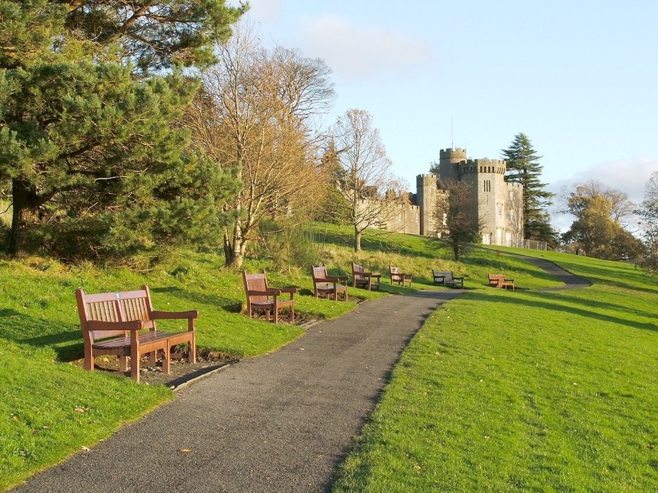
The Balloch–Strathblane stage gives a detailed feel for the route near the park. From Balloch railway station, cross the River Leven and follow a riverside path under trees to Loch Lomond’s shore, where boats and hills come into view. After the Slipway boathouse, the route climbs through Balloch Castle Country Park past the castle, then exits on tarmac lanes across gently rolling farmland south of the loch. The farm track at Wester Cameron rises toward views of the Loch Lomond hills, then passes through fir plantation before a signed woodland path and footbridge open onto higher ground. At Burncrooks Reservoir, keep to the east side rather than descending to the dam; the path climbs around the water with views toward the Campsie Fells. It then passes the filter-station road and Edenmill café and farm shop, which sit on the route. Beyond the A809, it passes Carbeth’s hut community, which began when camping rights were offered to returning First World War soldiers and later housed evacuees. The route briefly follows the West Highland Way, leaves it with a sharp right turn, crosses forest tracks, and descends beside a disused railway into Strathblane.
The western start is on Helensburgh seafront by West Clyde Street; the finish is Dunbar, not back at the start. Set aside the full nine to eleven days and plan lodging, meals and transport between the endpoints. The Balloch–Strathblane stage starts opposite Balloch station, and both Balloch and Strathblane have rail and bus links if you are walking that section separately. Edenmill is a useful stop on that stage, but it does not cover food or water for the whole route. Dedicated long-stay parking at the Helensburgh endpoint, dependable toilets and drinking water along the full route, dog rules, and permit or fee requirements were not established. Long public-road sections and crossings need attention; follow the walking waymarks where the walking and cycling lines diverge.
Wildlife
 14 sightingsGolden EagleMost seen around 6 PMSighting map
 37 sightingsRed DeerMost seen around 7 PMSighting map
 100 sightingsMute SwanMost seen around 11 AMSighting map
 48 sightingsOspreyMost seen around 6 PMSighting map
 24 sightingsEurasian BeaverMost seen around 8 PMSighting map
 37 sightingsEurasian Pine MartenMost seen around 7 PMSighting map
Sighting maps show where each species has been reported across Loch Lomond & The Trossachs. Wildlife moves, so no sighting is guaranteed.
Keep exploring
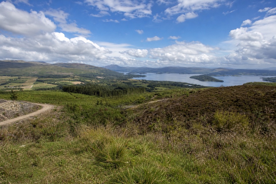 ModerateGouk Hill from Helensburgh16.6 km · 5 hr · At the trailheadA long climb to rocky views over Loch Lomond.
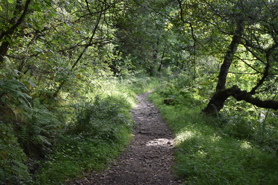 ModerateThree Lochs Way54.7 km · 16 hr · 9.5 km awayAn old coffin road, three lochs, and changing hill views.EasyCastle View Route, Balloch Castle Country Park3 km · 1 hr · 9.8 km awayA short loop links the castle view with the Loch Lomond shore.
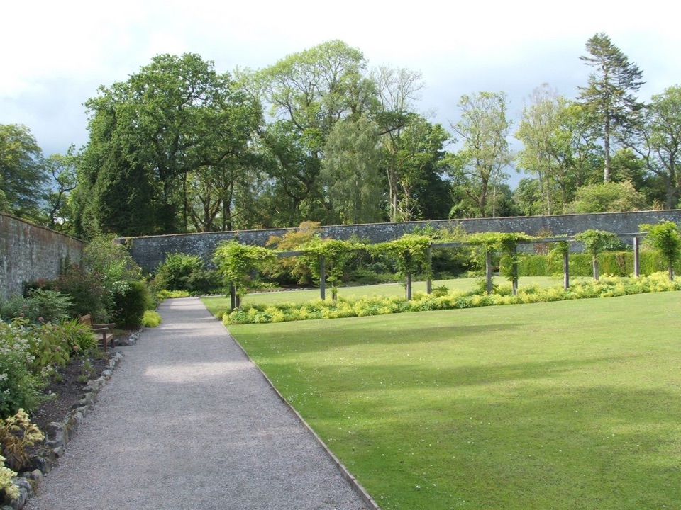 EasyWalled Garden Route, Balloch2.3 km · 30 min · 9.9 km awayA walled garden loop returns beside the River Leven
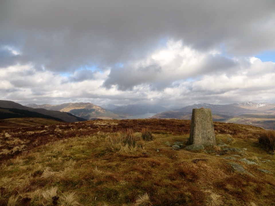 ChallengingStrone Hill5.6 km · 3 hr · 12 km awayA steep climb to the trig point and wide Clyde views.
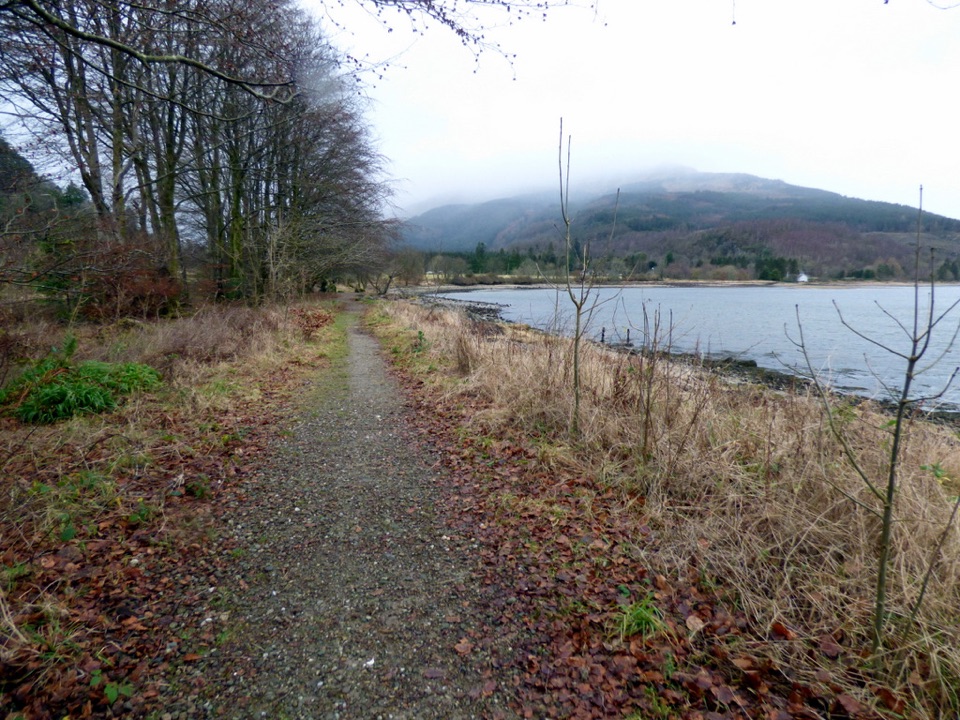 ModerateLaird’s Trail3.2 km · 1 hr · 12.1 km awayA forest loop to an 1860 grave with Loch Long views.
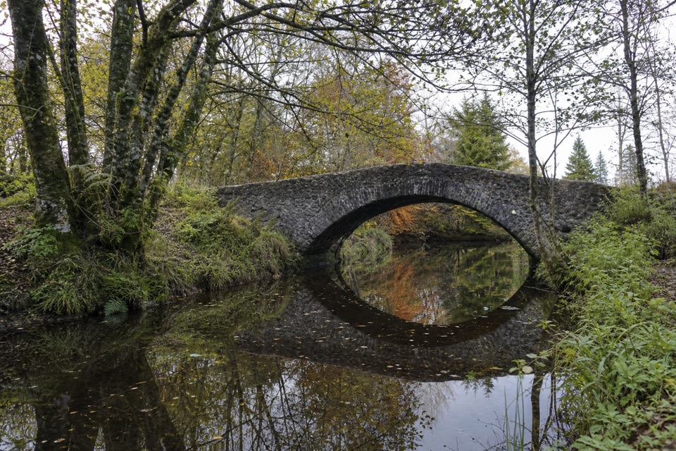 EasyRiverside Trail, Ardentinny1.3 km · 30 min · 12.1 km awayA short burnside loop to a stone arch and spring flowers.
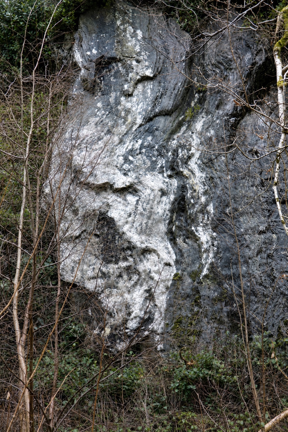 ModerateBirchwood Trail, Ardentinny1.6 km · 45 min · 12.1 km awayA steep woodland loop above Lover’s Leap, back by Grotto Burn.
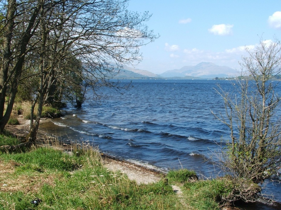 Beach · 7.9 km awayDuck Bay Beach and Picnic AreaSand, pebbles and picnic grass with wide views across the loch
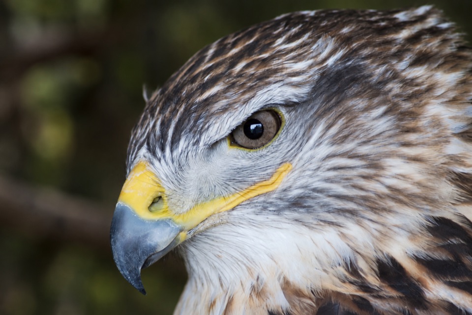 Sight · 8.7 km awayLoch Lomond Bird of Prey CentreWoodland flying displays and all five of Britain's native owls.
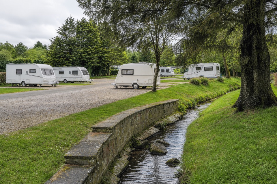 Campground · 8.9 km awayLomond Woods Holiday ParkWoodland pitches and cabins, with Lomond Shores a short walk away
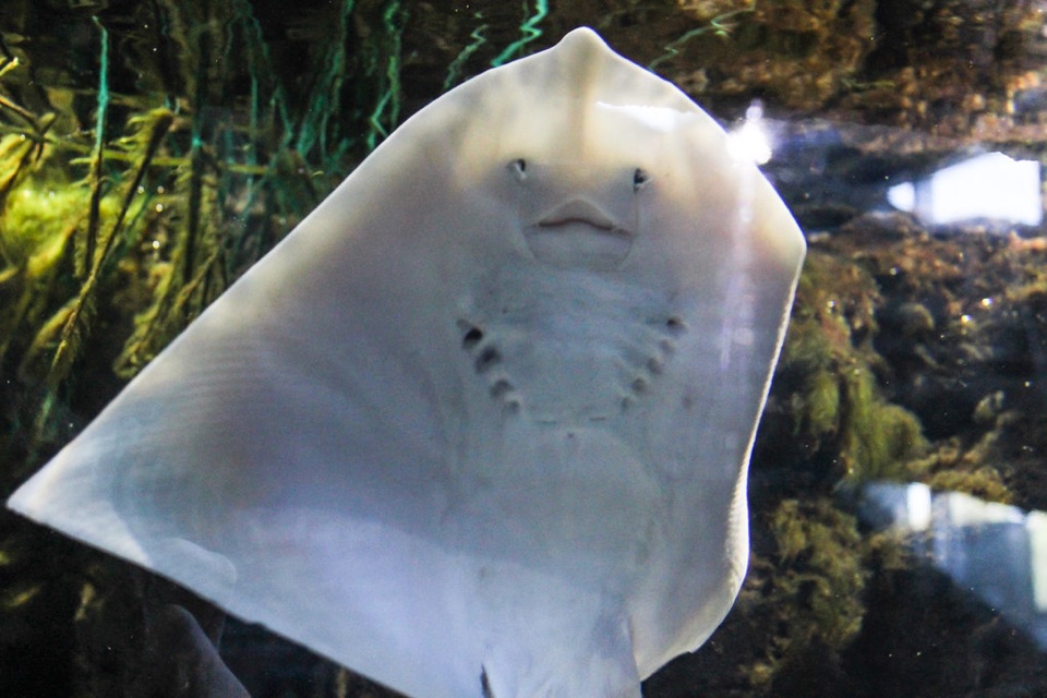 Sight · 9 km awaySEA LIFE Loch Lomond AquariumA compact aquarium with a walk-through tunnel, otters and loch views.
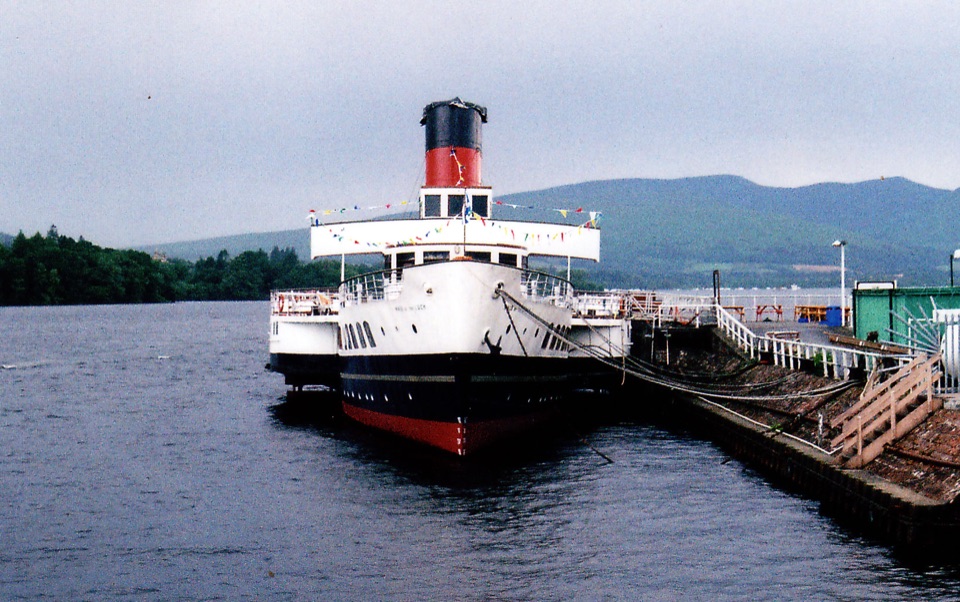 Sight · 9 km awayMaid of the Loch and Balloch Steam SlipwayA last-of-its-kind paddle steamer beside a working historic slipway.
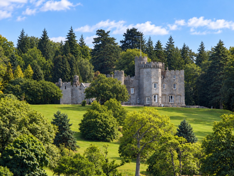 Sight · 9.6 km awayBalloch Castle Country ParkGardens, woodland and a lochside picnic without a hill climb
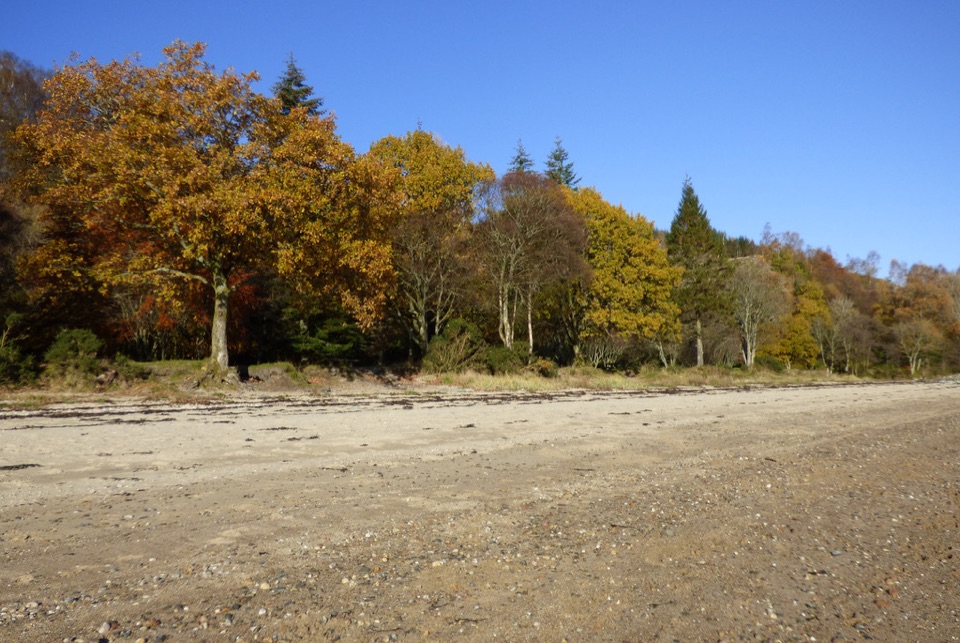 Beach · 12.1 km awayArdentinny BeachA long lochside beach with rock pools and woodland walks.
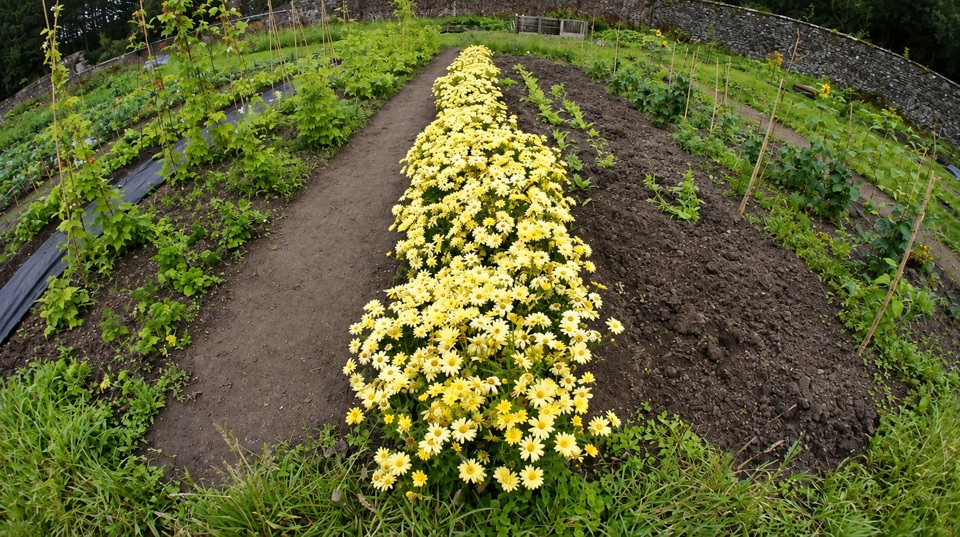 Sight · 12.3 km awayGlenfinart Walled GardenA volunteer-run garden with Victorian walls and room for a picnic.
Parkwolf’s Loch Lomond & The Trossachs ranking

The audio tour guide for the drive, plus offline maps, trails, and wildlife heatmaps for when the signal drops.





