Parking
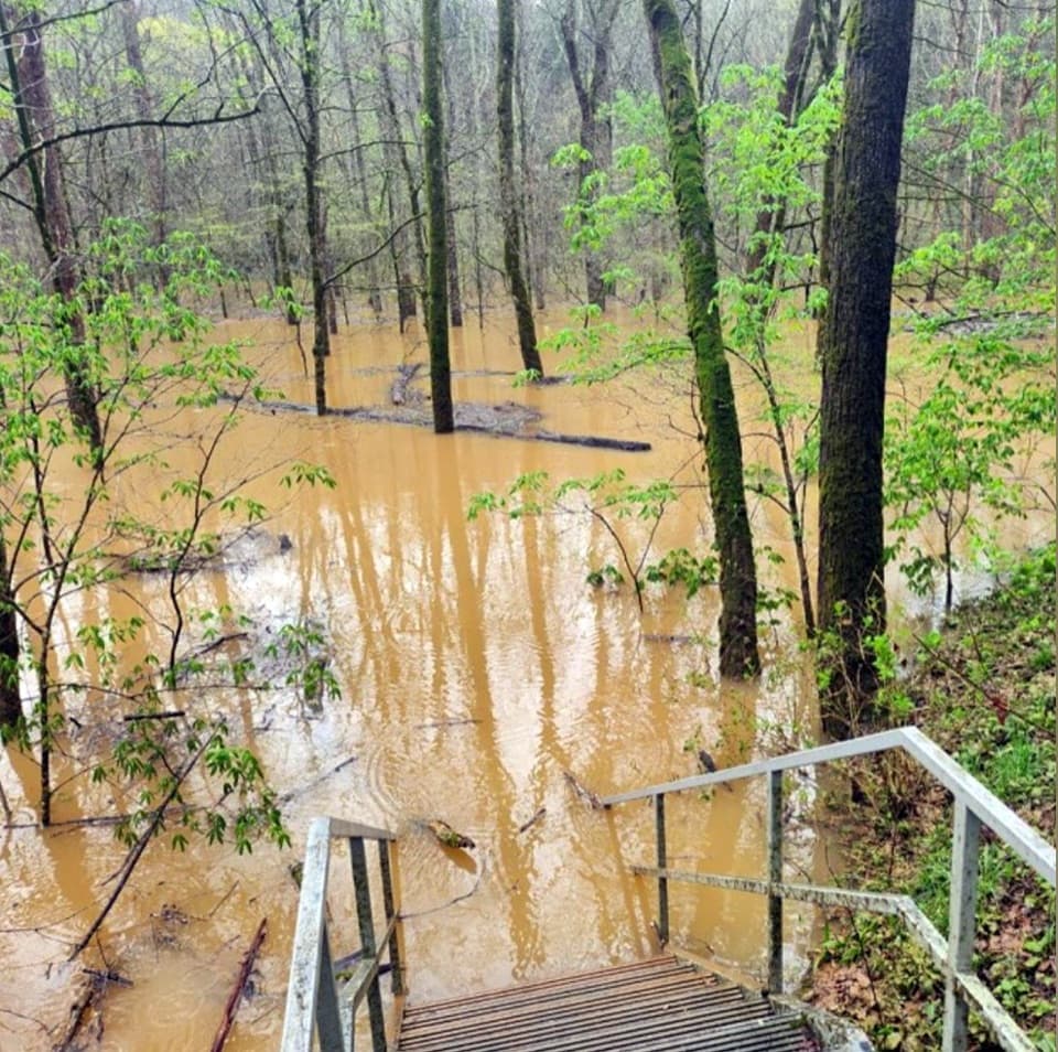
Start at Lincoln Trailhead on Ollie Ridge Road. From the visitor center side, the Green River Ferry can shorten the drive, but it closes when river levels are high or low; check before setting out or use the road route through Brownsville.
Mammoth Cave National Park, KY
Ridge forest, creek hollows, and a long way back
Overview
Map & elevation
Plan your hike

The highest, rockiest slopes around here are a summer buffet for grizzly bears.
Mammoth Cave Tour Guide
Parkwolf is a GPS audio tour guide for Mammoth Cave National Park. As you drive, it chimes in with what’s ahead: hidden gems, upcoming stops, history, geology, and wildlife, right through your car’s speakers.
Recorded for this trailhead
Lincoln Trailhead and Collie Ridge Loop“You're approaching Lincoln Trailhead, where the Collie Ridge Loop offers a long walk through hardwood forest and creek hollows.”
Plays as you drive up to this trailhead in the Parkwolf Mammoth Cave Tour Guide.
More stories near here in the app
“Fantastic app with many points of information… It’s great to just turn on while you’re driving and it gives you an audio tour of the national Park. We love it!!!!”


Trail guide
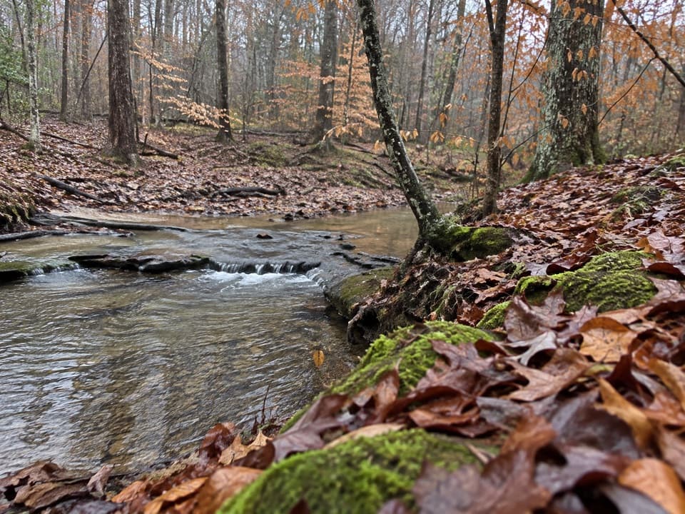
Collie Ridge Loop is a 10.7-mile backcountry circuit from Lincoln Trailhead, linking Collie Ridge, a short Buffalo Creek section, Wet Prong, and Blair Springs Hollow. Plan on about four to five hours. The grades are mostly gentle; distance and junctions are the real commitment. Choose it for a long forest walk with creek and hollow views, not for a summit or a big overlook.
From Lincoln, follow Collie Ridge south for about 3.9 miles to the Buffalo Creek junction. Take Buffalo Creek roughly 0.9 mile to Wet Prong, follow Wet Prong about 2.2 miles to Blair Springs Hollow, then climb back to Collie Ridge and return north to Lincoln. The final two miles repeat part of the ridge approach. Some route descriptions give 9.7 miles; this connected line comes to about 10.7 with the Buffalo Creek link and repeated section included, so use the longer figure to plan your day.
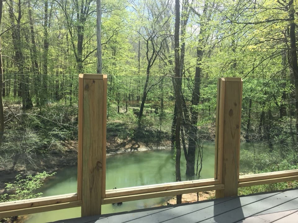
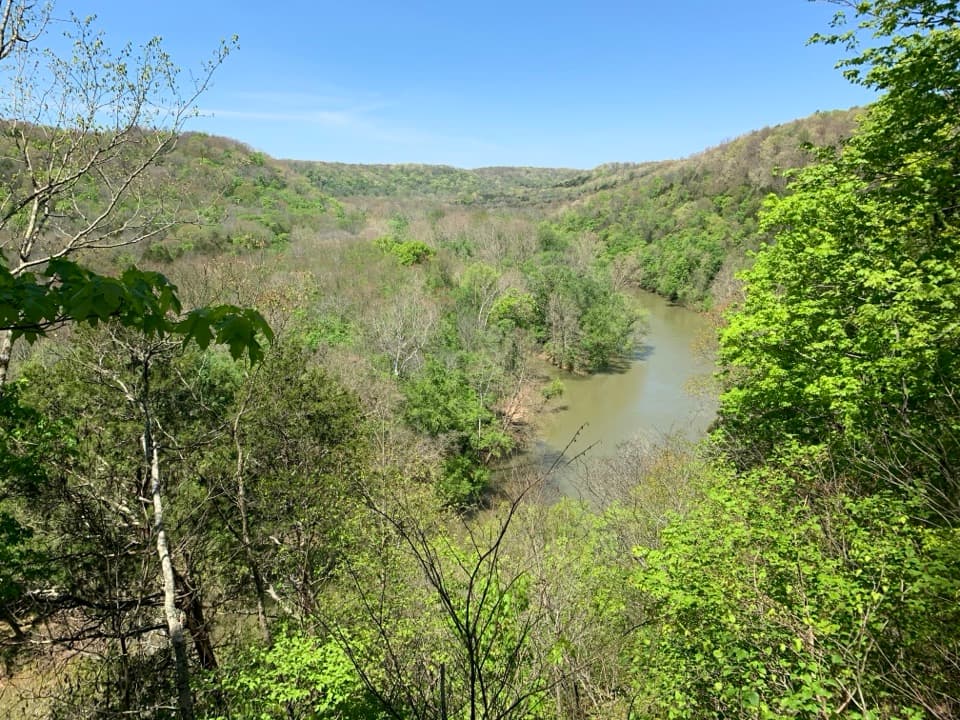
Most of the walk stays under hardwood canopy. Collie Ridge undulates gently rather than climbing to a summit, with occasional openings over the creeks and hollows below. Fall color is the clearest seasonal change. Expect a quieter, enclosed forest route more than a string of dramatic viewpoints.
Lincoln Trailhead is on Ollie Ridge Road on the park’s north side. If you are driving from the visitor center side, the Green River Ferry can shorten the trip, but high or low water can stop service; check before setting out or use the road route through Brownsville. Backcountry maps are available at the visitor center and Headquarters Campground kiosk. Dogs are allowed on surface trails on a leash up to six feet, and horses also use backcountry trails, so give riders room. Bring food and drinking water for the full route.
Wildlife
 227 sightingsWhite-tailed DeerMost seen around 7 AMSighting map
 21 sightingsTricolored BatMost seen around 8 PMSighting map
 75 sightingsCave SalamanderMost seen around 6 PMSighting map
 149 sightingsWild TurkeyMost seen around 7 AMSighting map
 13 sightingsBarred OwlMost seen around 7 PMSighting map
 40 sightingsSnapping TurtleMost seen around 11 AMSighting map
Sighting maps show where each species has been reported across Mammoth Cave. Wildlife moves, so no sighting is guaranteed.
Keep exploring
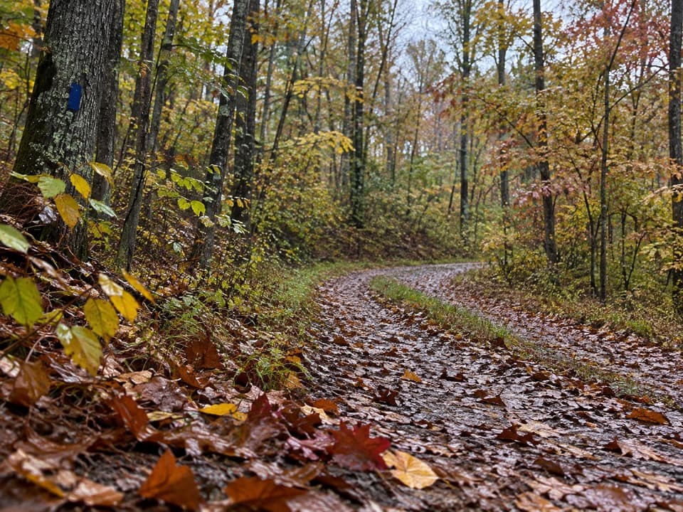 ModerateCollie Ridge Trail8.4 mi · 4.5 hr · At the trailheadA forested old road passes a remote cemetery and ridge junctions.
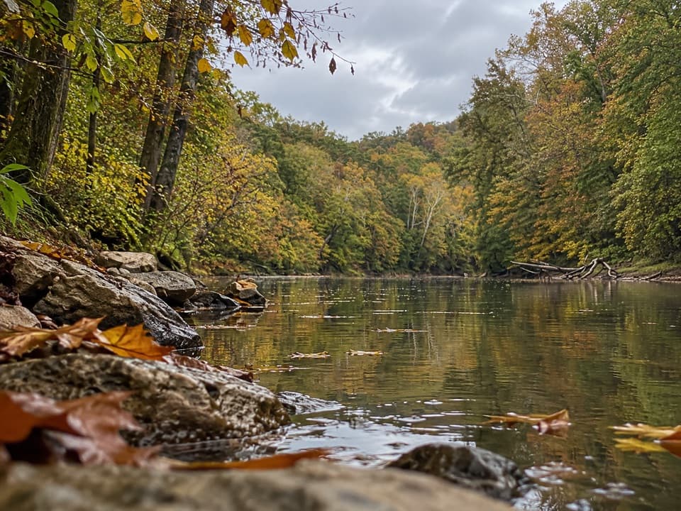 ModerateBlair Springs Hollow Trail1.8 mi · 1 hr · 1.5 mi awayCreek crossing, hollow tread, and a steady climb through backcountry.
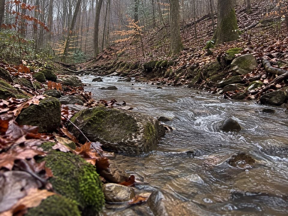 ModerateMill Branch Trail3 mi · 2 hr · 1.9 mi awayA rough three-mile link with a creekbed turn to catch.
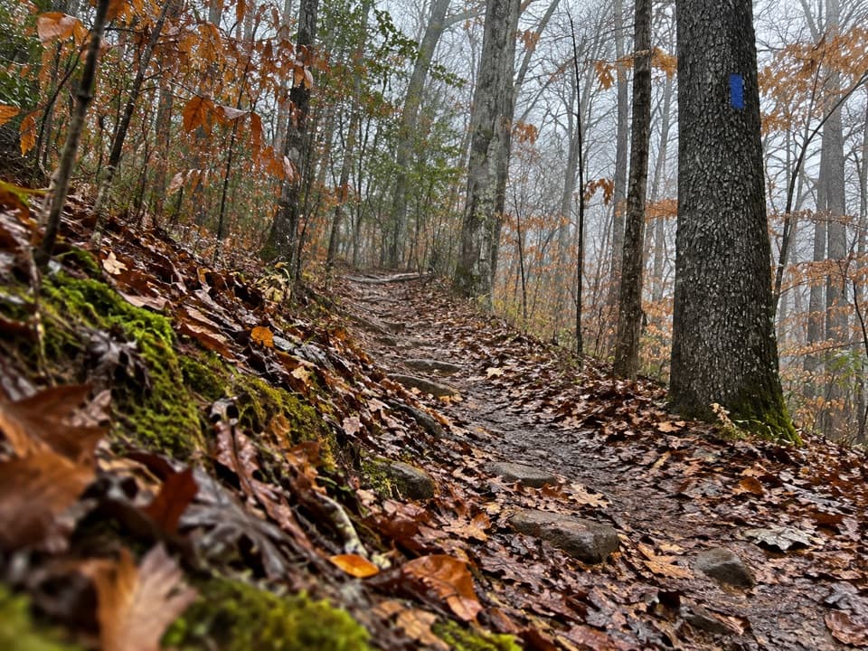 ModerateWet Prong Trail4.6 mi · 2.5 hr · 2 mi awayA wooded backcountry traverse with creek crossings and blue blazes
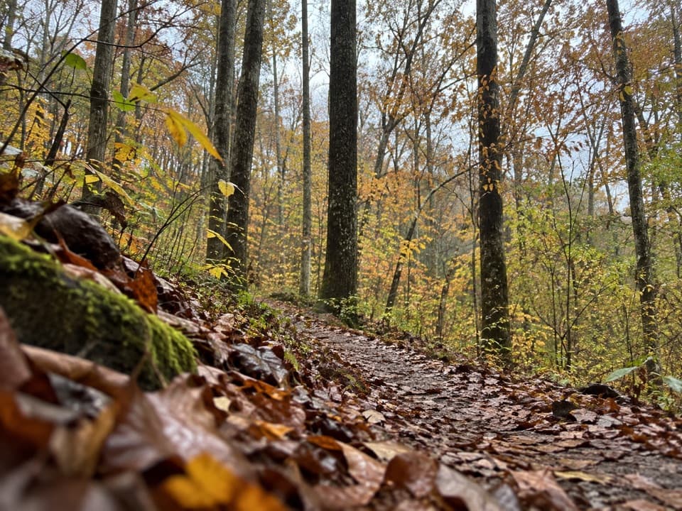 ModerateFirst Creek Trail6.3 mi · 3.5 hr · 2 mi awayA wooded backcountry crossing with Nolin River views.
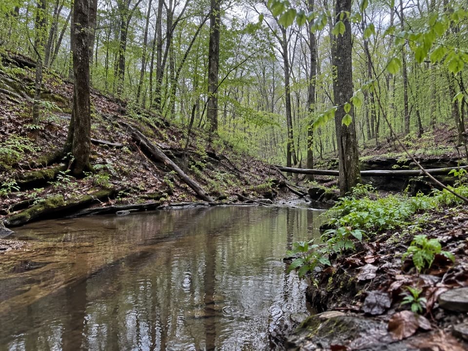 ChallengingFirst Creek Trail, McCoy Hollow Trail and Wet Prong Trail Loop16.4 mi · 8 hr · 2 mi awayA full-day loop through backcountry creeks and rugged ravines.
 ModerateRaymer Hollow Trail6.2 mi · 2.5 hr · 2.9 mi awayA hilly forest connector joining two backcountry trails.
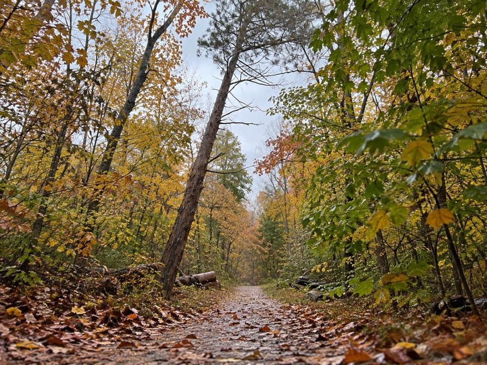 ModerateBig Hollow Trail North Loop5.3 mi · 2.7 hr · 3.2 mi awayA 5.3-mile forest loop on shared, rooty singletrack.
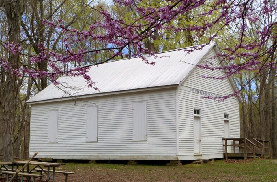 Sight · 3.3 mi awayGood Spring Baptist Church & CemeteryA small church and cemetery preserve the lost Cade community.
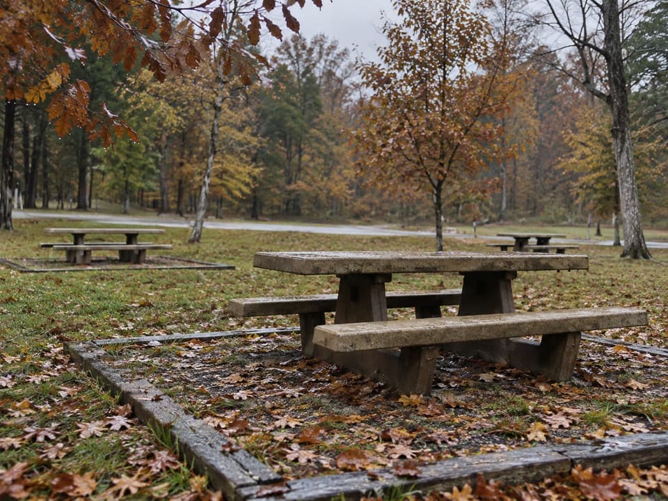 Picnic area · 3.6 mi awayMaple Springs Day Use AreaPicnic tables with access to north-side hiking and horse trails.
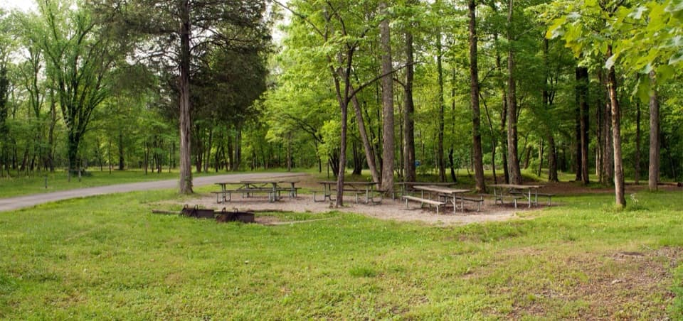 Campground · 3.8 mi awayMaple Springs Group CampgroundA quiet base for group camping near northern backcountry trails.
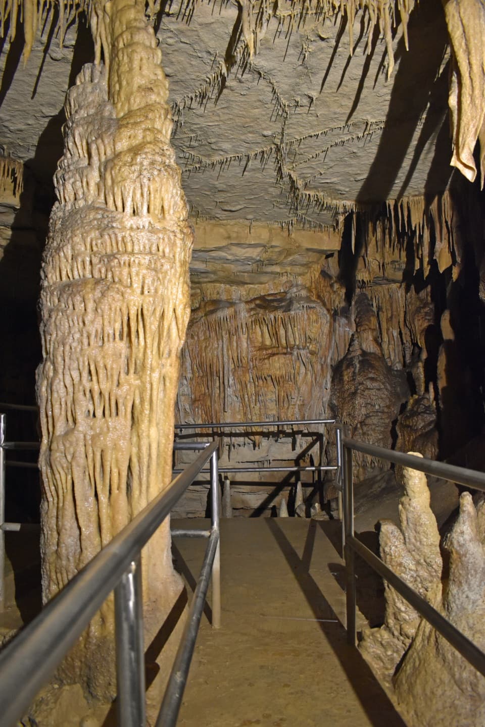 Sight · 5.1 mi awayGreat Onyx CaveSee gypsum crystals and helictites by lantern light
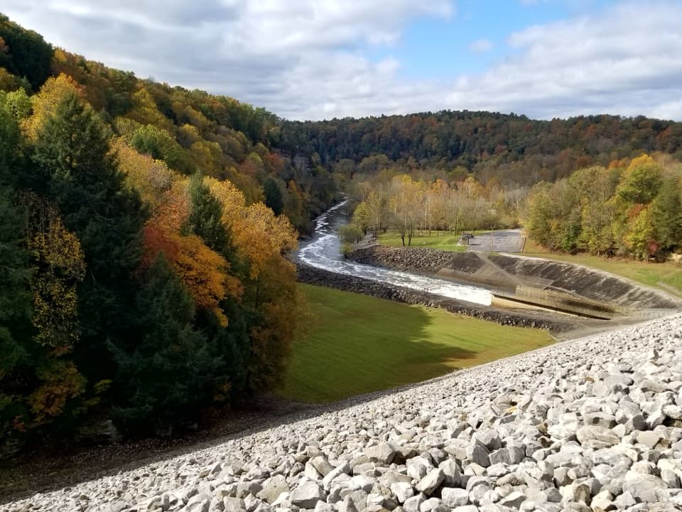 Sight · 5.2 mi awayNolin River Tailwater Recreation AreaA useful launch, picnic stop and gateway to the Nolin River.
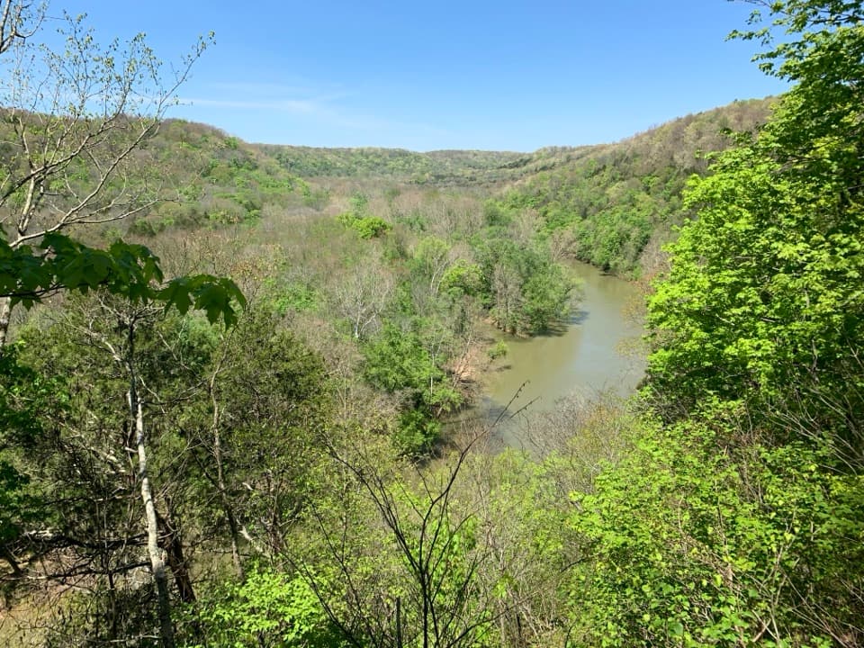 Sight · 5.3 mi awayGreen River Bluffs OverlookCatch the Green River's curves from this wooded overlook.
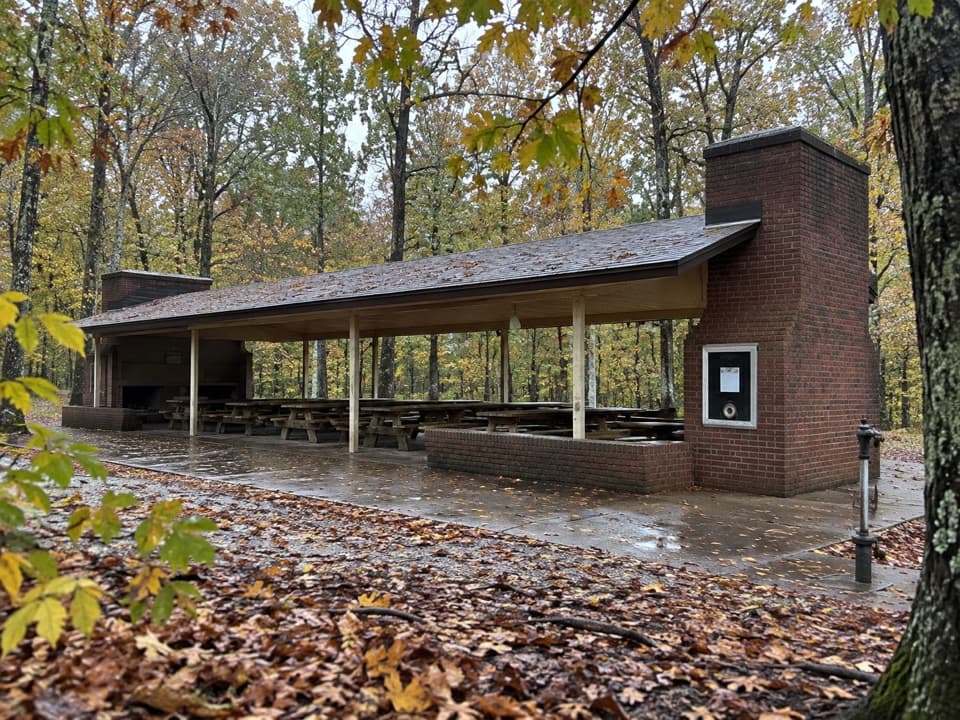 Picnic area · 5.4 mi awayMammoth Cave Picnic AreaThe park's biggest picnic grounds have grills, drinking water, and trails.
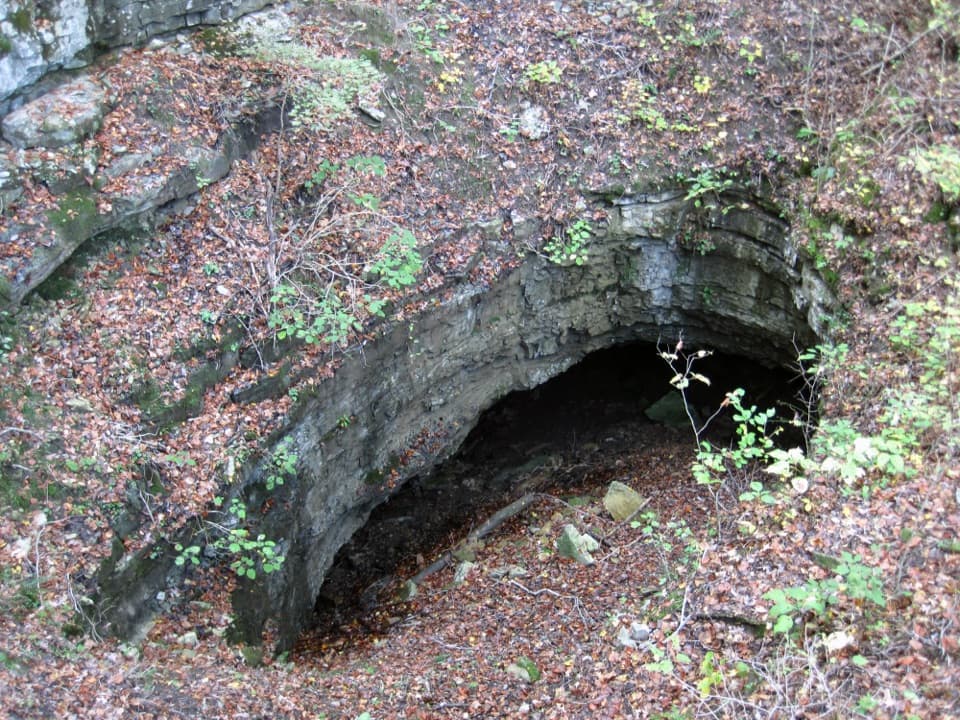 Sight · 5.4 mi awayDixon Cave OverlookA raised deck for a quick look at Dixon Cave’s limestone entrance.
Parkwolf’s Mammoth Cave ranking

The audio tour guide for the drive, plus offline maps, trails, and wildlife heatmaps for when the signal drops.