
Place
Easy
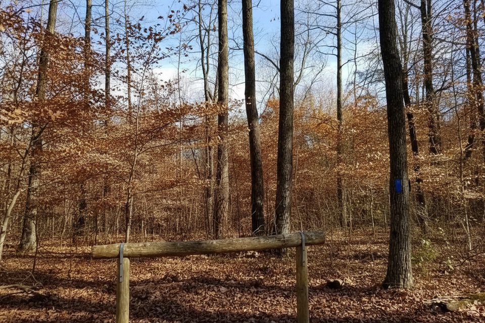
Collie Ridge is a quiet, forested backcountry trail on the park’s north side, favored by both hikers and horseback riders. The official distance is 3.8 miles one way from the Lincoln Trailhead on Ollie Road. Expect mostly gentle grades with occasional short climbs on old roadbed and singletrack, and footing that ranges from smooth dirt to stretches of loose gravel spread for erosion control. This is an out-and-back on its own, but it’s also a backbone connector for longer loops in the north-side backcountry.
Follow blue blazes from the Lincoln Trailhead. Early navigation requires attention: about 0.4 miles in, the path meets an old dirt road—turn right to stay on Collie Ridge. Around 0.8 miles, a T-intersection offers a right turn out toward a private riding stable; stay left to remain on Collie Ridge. After a steady but modest climb, you’ll reach a prominent four-way junction with Raymer Hollow (left) and Blair Spring Hollow (right); there are hitching posts and a picnic table here. On the return, watch for the small parking spur sign—it’s easy to stride past when you’re cruising downhill.
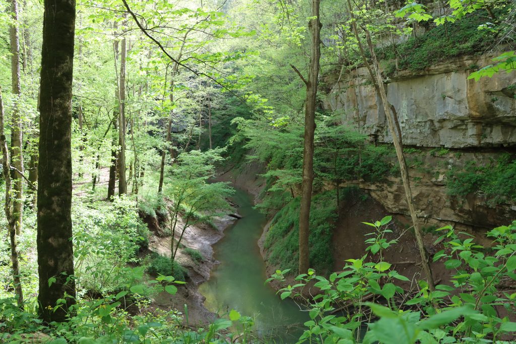
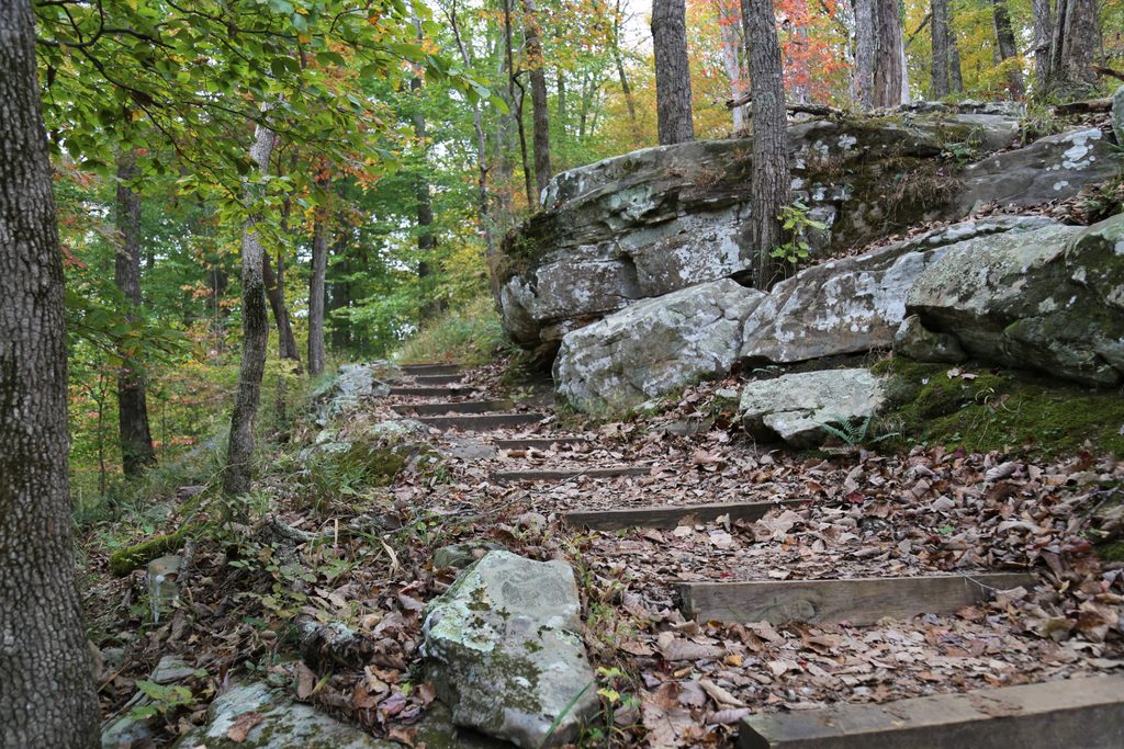
This is a woods-first hike rather than a overlooks-and-vistas hike. You’ll stroll a ridge above creeks and hollows beneath old-growth Kentucky forest, with seasonal color that really pops in fall. Along the corridor, keep an eye out for rock features—both natural and old man-made remnants. A short way beyond the major junction sits Sand Spring Cemetery, a surprisingly compelling historic stop with a mix of inscribed and weathered fieldstone markers.
Collie Ridge is a hub for bigger days. It links directly with Blair Spring Hollow, Raymer Hollow, Wet Prong, Mill Branch, and a 0.7-mile spur to the Collie Ridge Backcountry Campsite. A popular long loop combines Collie Ridge, Wet Prong, and Blair Spring Hollow for roughly 9.5 miles with a mix of ridge walking and creek-valley travel. Expect mud and occasional creek crossings on those extensions, particularly after rain. If you want a short loop, this network isn’t ideal—most loop combinations here are substantial.
Year-round is fair game, but fall is the sweet spot thanks to foliage and firmer tread. May tends to be the busiest time in this area of the park. Start early if you’re building a long loop, and be aware that reaching the Lincoln Trailhead can take on the order of three-quarters of an hour from the main visitor area depending on whether the river ferry is operating.
If you’re after solitude, history, and an unrushed forest ramble with flexible loop options, Collie Ridge is a solid pick. If you want big overlooks or a short, tidy loop, look elsewhere in the park.
Park at the Lincoln Trailhead on Ollie Road at the park’s perimeter; on return, watch for the small parking spur sign that’s easy to miss.
Shared with horses, sections of loose gravel and mud after rain, occasional creek crossings on loop extensions, spotty cell service, and a couple of poorly marked junctions near the start and end.
Place
Place
Place
Place
Moderate
Moderate
Easy
Moderate

Parkwolf Tour Guide
