
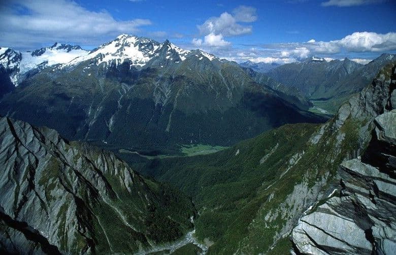
All Mount Aspiring trails
50 trails
 1Routeburn TrackWaterfalls, alpine wetlands and a 1,255 m pass in one crossing.
 2Rob Roy TrackA swingbridge, beech forest and glacier views reward the climb.
 3Gillespie Pass CircuitA wild alpine pass links the Young, Siberia and Wilkin valleys.
 4Rees-Dart TrackFrom Rees River flats over an alpine saddle to the Dart.
 5Brewster TrackA steep alpine climb to a hut above the Haast River
 6Blue Pools TrackTwo swingbridges make this easy walk feel like an adventure.
 7Liverpool TrackA long, exposed climb to a hut above Matukituki Valley.
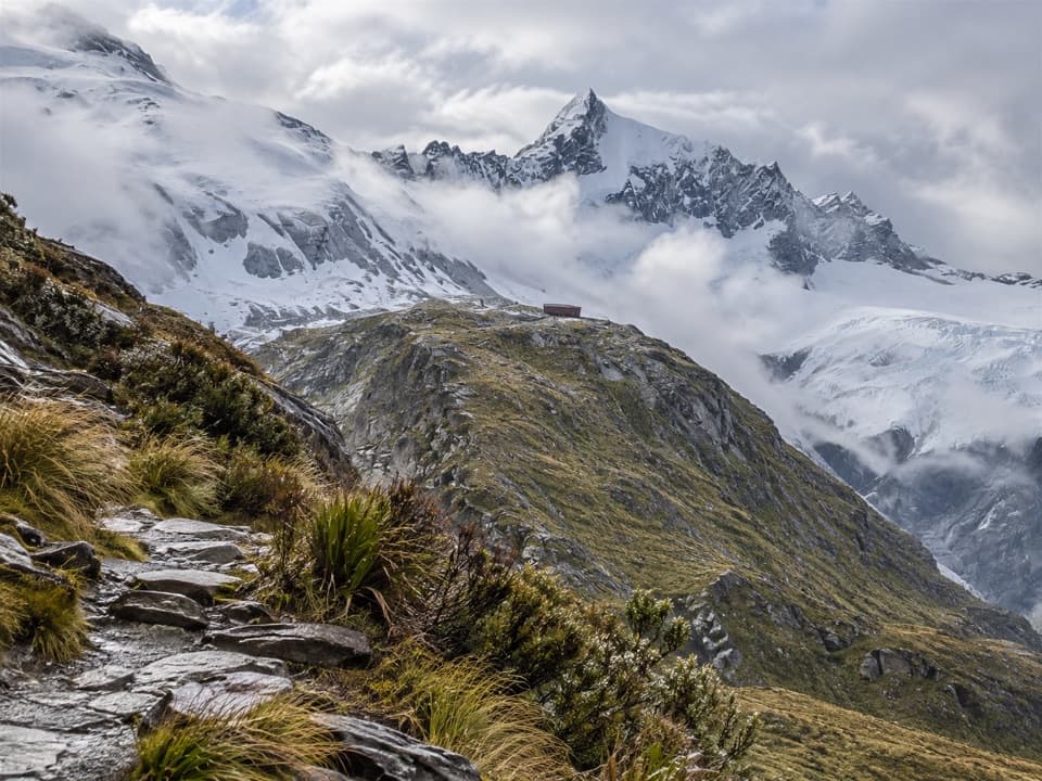 8French Ridge TrackClimb from grassy valley flats to a hut above the alpine bushline.
 9Crucible Lake TrackAn alpine lake under Mount Alba, reached after a serious valley climb.
 10Routeburn Falls Hut Day WalkTwo waterfalls and a high hut make the long climb worthwhile.
 11Aspiring Hut TrackLong valley flats lead to a hut beneath the Southern Alps.
 12Earnslaw Burn TrackA hard, full-day forest tramp to Mount Earnslaw's icefall.
 13Tarahaka Whakatipu (Harris Saddle)A long alpine day ends at a shelter above Lake Harris.
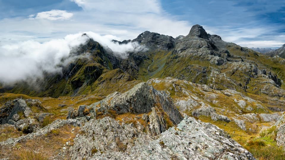 14Conical Hill TrackA short, steep climb from Harris Saddle to an alpine panorama.
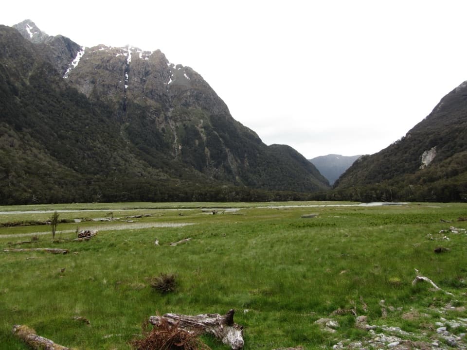 15Routeburn Flats TrackFollow an 1870s bridle path to open valley flats.
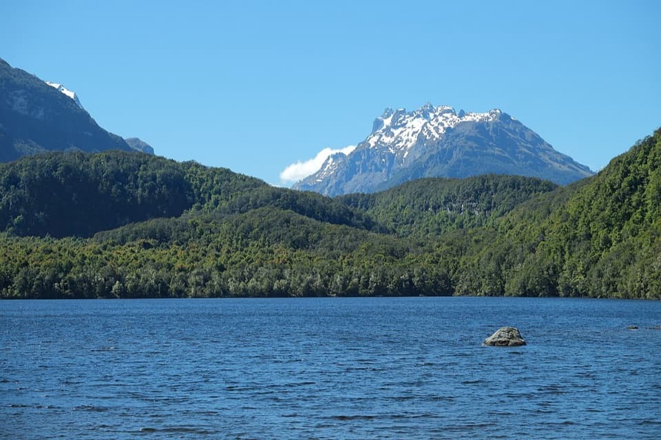 16Lake Sylvan TrackA suspension bridge leads through red beech to a lakeside platform.
 17Sugarloaf Pass TrackA hard climb to a broad pass above two valleys.
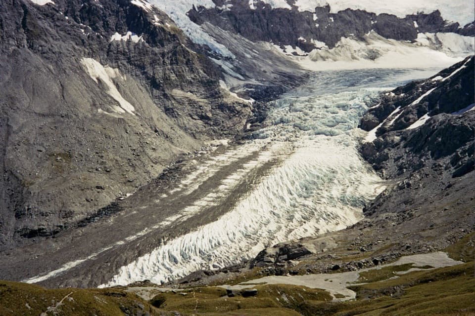 18Cascade Saddle RouteAn expert alpine crossing above the Dart Glacier.
 19Kitchener Track to Aspiring FlatsA rough, full-day route to a big Kitchener Cirque view
 20Siberia Valley TrackFollow open valley flats through beech forest to the Wilkin.
 21West Matukituki TrackA long out-and-back into the upper West Matukituki Valley.
 22Kea Basin TrackA long valley walk opens beneath Earnslaw’s hanging glaciers.
 23Lake Castalia TrackA rugged 10-mile return to an alpine lake with several unbridged fords.
 24North Branch Wilkin Track to Lakes Diana and LucidusBoulder hopping leads through alpine grassland to a moraine lake
 25Routeburn North Branch TrackA long valley walk with rough tread and Humboldt mountain views.
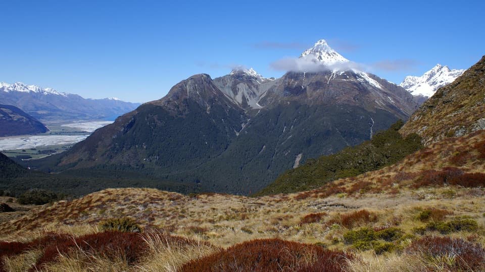 26Sugarloaf/Rockburn TrackAn advanced full-day traverse over Sugarloaf Saddle to Lake Sylvan.
 27Wilkin Valley Track: Kerin Forks Hut to Top Forks HutA 15 km hut tramp ends with a river-level route choice.
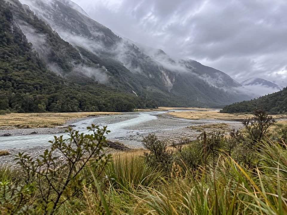 28Wilkin Valley Track to Kerin Forks HutRiver flats and a remote hut, with two serious crossings.
 29Young River Track to Young HutA remote hut trek with a dangerous river crossing and unstable slips
 30Thunder Creek Falls WalkA sealed path ends above Haast River, facing a 28 m waterfall.
 31Fantail Falls WalkA five-minute return walk to a fan-shaped waterfall.
 32Haast Pass Lookout TrackA short climb to a timber-railed Southern Alps lookout.
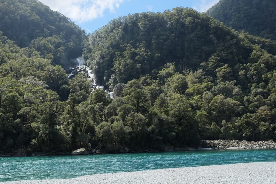 33Roaring Billy Falls WalkA ferny forest path ends at a riverbank view of the falls.
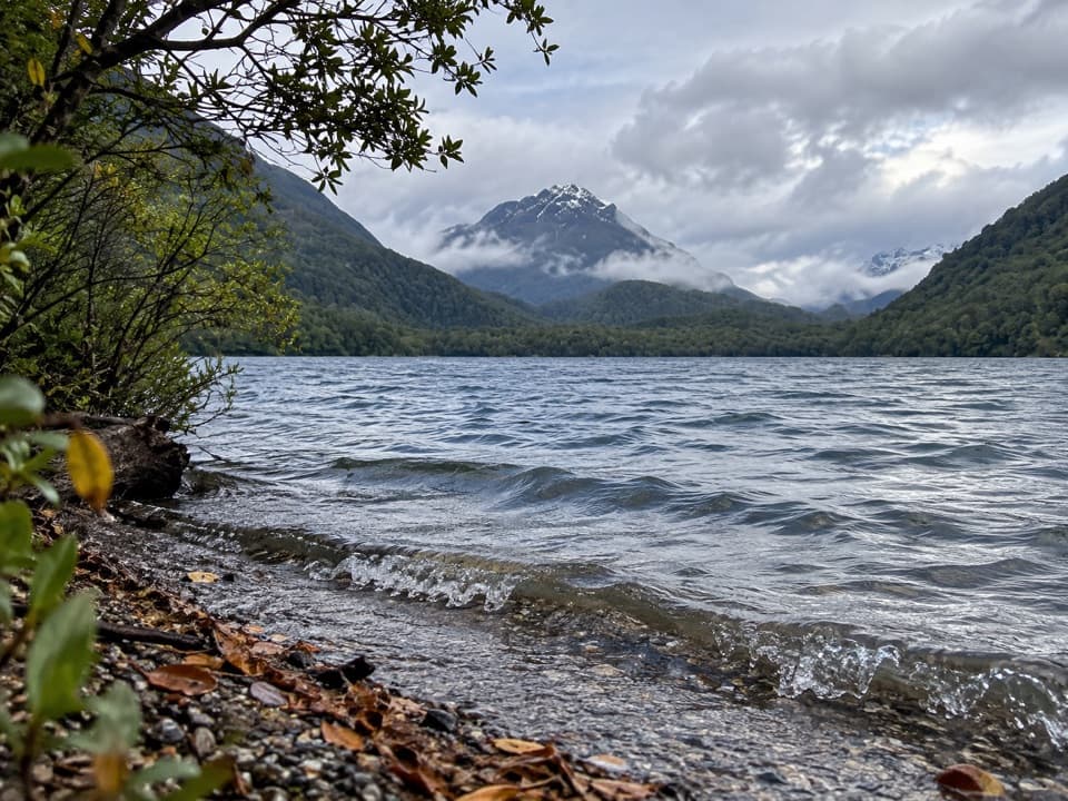 34Lake Sylvan–Rockburn TrackA long forest tramp pays off at Rockburn’s blue pools.
 35Blue Valley Track to Camp FlatSteep beech forest opens at a grassy camp beside the Blue River.
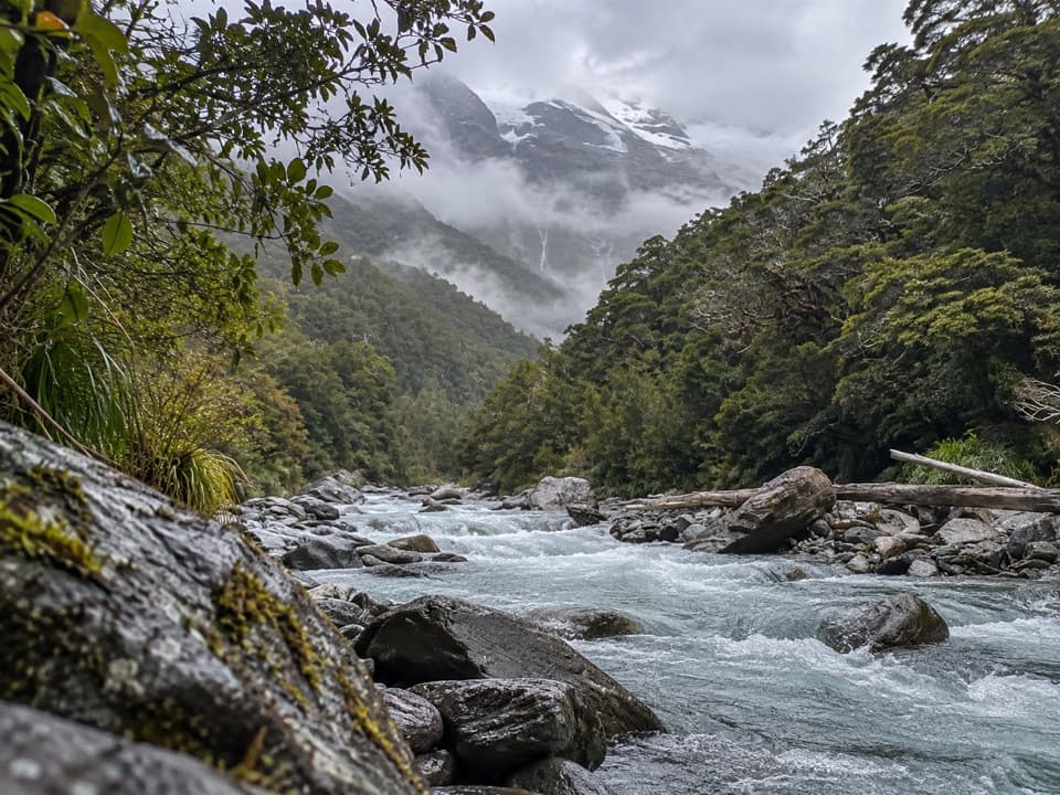 36Glacier Burn Track (East Matukituki)A long valley tramp to Glacier Burn and an Avalanche Glacier view.
 37Beans Burn TrackA remote river walk into a mossy boulder gorge.
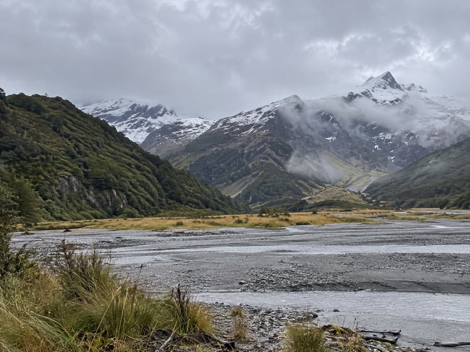 38Ruth Flat TrackRemote backcountry tramp to a view across the river to Ruth Flat.
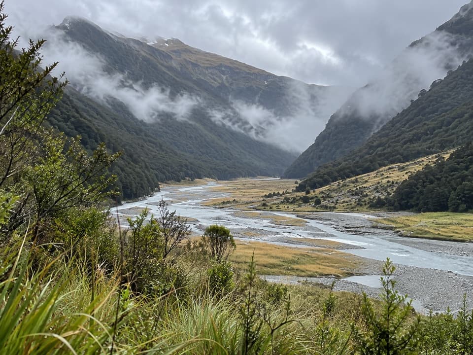 39Makarora Track to Makarora HutA rough valley tramp to a four-bunk hut beneath Mount Brewster.
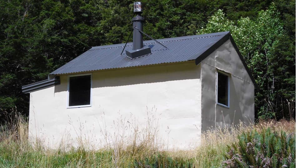 40Wills Valley TrackAn unstable gorge approach leads to a remote four-bunk hut.
 41Wilkin Valley–East Matukituki TraverseExpert alpine crossing over Rabbit Pass into the East Matukituki.
 42Mount Shrimpton TrackA steep forest climb to the McKerrow Range bushline.
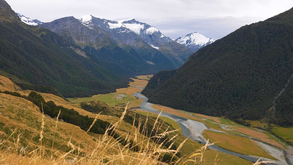 43Shotover Saddle RouteA steep, rough climb to a tarn shelf above the West Matukituki.
 44Cameron Track to Cameron HutSteep gorge bluffs lead to a remote four-bunk hut.
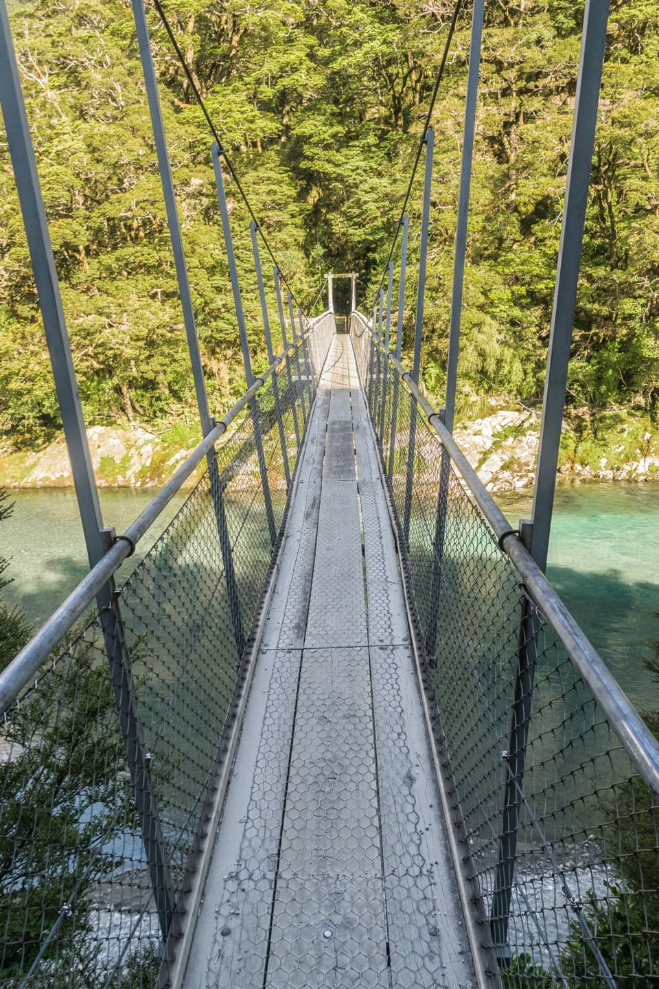 45Young River Link TrackA longer Blue Pools walk to the Young River mouth.
 46Routeburn Nature WalkA short loop through red beech forest to Sugarloaf Stream.
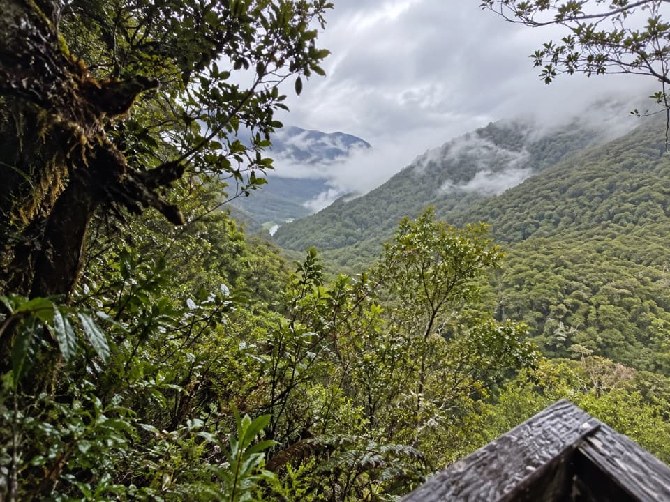 47Bridle TrackWalk a graded stretch of the old Otago to Westland route
 48Makarora Bush WalkA quick forest loop with a glimpse of old timber milling.
 49Cameron Lookout WalkShort climb through silver beech to a Cameron Creek lookout.
 50Pleasant Flat WalkA quick forest walk beside a mountain stream

The highest, rockiest slopes around here are a summer buffet for grizzly bears.
Mount Aspiring Tour Guide
Mount Aspiring, narrated.
Parkwolf is a GPS audio tour guide for Mount Aspiring National Park. As you drive, it chimes in with what’s ahead: hidden gems, upcoming stops, history, geology, and wildlife, right through your car’s speakers.
See the Mount Aspiring audio tourRecorded for this place
Blue Pools: Beyond the First Bridge0:00 / 0:23
“Blue Pools car park is coming up, for a forest walk to deep, snow-fed water.”
Plays as you drive up to Blue Pools in the Parkwolf Mount Aspiring Tour Guide.
More stories near here in the app
- Why the Fantail Follows You
- Cameron Lookout: Turn Around at the Platform
- Young Valley and Gillespie Pass
- Makarora River Bridge and the Hut Track
- 80 audio storiesacross Mount Aspiring’s roads, triggered by GPS as you drive
- Wildlife heatmapsfor Kea, Rockwren, Yellowhead, and 8 more
- Works offlinemaps, 50 trails, 52 places, and audio download before you lose signal
- CarPlay readysimple controls built for the drive
“Fantastic app with many points of information… It’s great to just turn on while you’re driving and it gives you an audio tour of the national Park. We love it!!!!”

