Ohanapecosh Picnic Area in Mount Rainier National Park

Picnic area · Mount Rainier National Park

Ohanapecosh Picnic Area

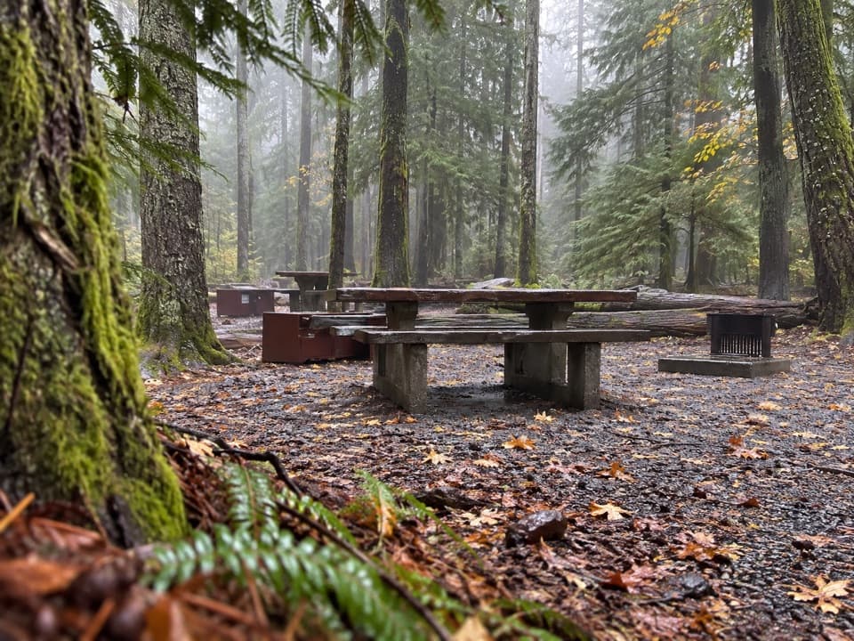
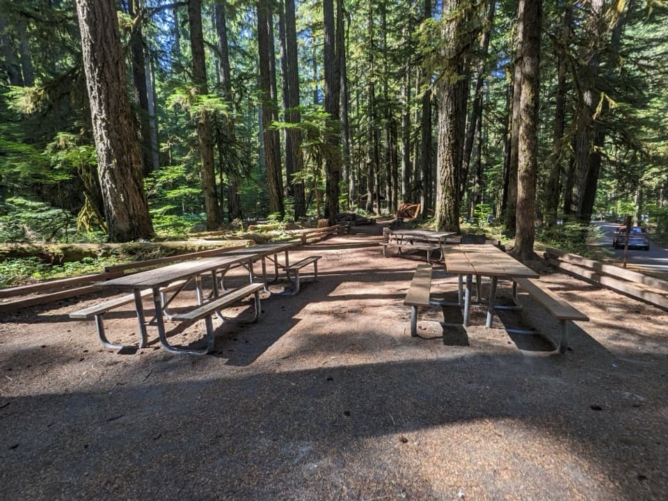
Eight tables and grills in the old-growth Ohanapecosh forest.

Photo: National Park Service
Type
Picnic area
Nearest trail
0.1 mi
Audio stories
7 nearby
  • Picnic tables
  • Parking
  • Restrooms

Hear the audio tour

Ohanapecosh: Old Forest and Silver Falls

Overview

About Ohanapecosh Picnic Area

Why stop

  • Three grill-equipped picnic clusters in old-growth forest.

Heads up

  • No designated accessible parking stalls at the picnic area.

Map

Where it is

Loading the Mount Rainier map
Full map
Picnic areaOhanapecosh Picnic Area46.73558, -121.56691
Keep this map with you offline in the Parkwolf app

Plan your stop

Before you go

Set up near the parking area

A path runs between the parking area and the restroom, about 200 feet from the tables. Two tables closest to parking are wheelchair accessible, but the picnic area's parking lot has no designated accessible stalls. Potable water and trash receptacles are also available.

7 active Mount Rainier alerts

  • ClosureWildfire closures in the northern parkGrand Park 2 and Wonderland Complex fire closures affect trails, backcountry camps, and Sunrise access; stay out of closed areas.Official details
  • ClosureSR 165 bridge closed: no public access to Carbon River or Mowich LakeThe SR 165 Carbon River/Fairfax Bridge is closed to vehicles, bicycles, and pedestrians; there is no public access or alternate route to Carbon River or Mowich Lake.Official details
See all 7 alerts
A park ranger sits on a dash-mounted phone, talking, as Parkwolf’s Tour Guide plays “Army Cutworm Moths: A Grizzly Bear Buffet” on Grand Loop Road below Dunraven Pass in Yellowstone
Parkwolf Tour GuideThe highest, rockiest slopes around here are a summer buffet for grizzly bears.

Mount Rainier Tour Guide

Your drive to Ohanapecosh Picnic Area, narrated.

Parkwolf is a GPS audio tour guide for Mount Rainier National Park. As you drive, it chimes in with what’s ahead: hidden gems, upcoming stops, history, geology, and wildlife, right through your car’s speakers.

See the Mount Rainier audio tour

Recorded for this place

Ohanapecosh: Old Forest and Silver Falls
0:00 / 0:33
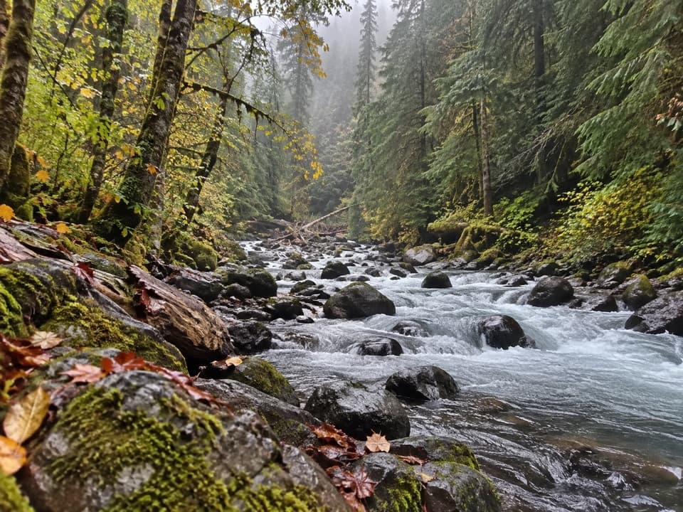
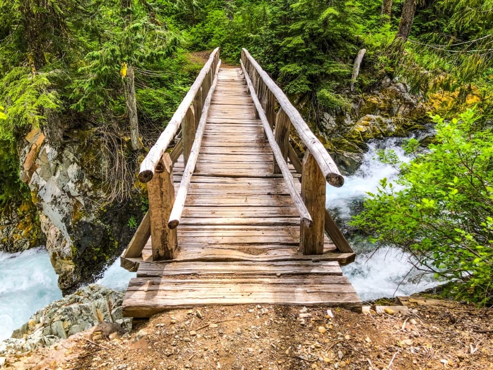
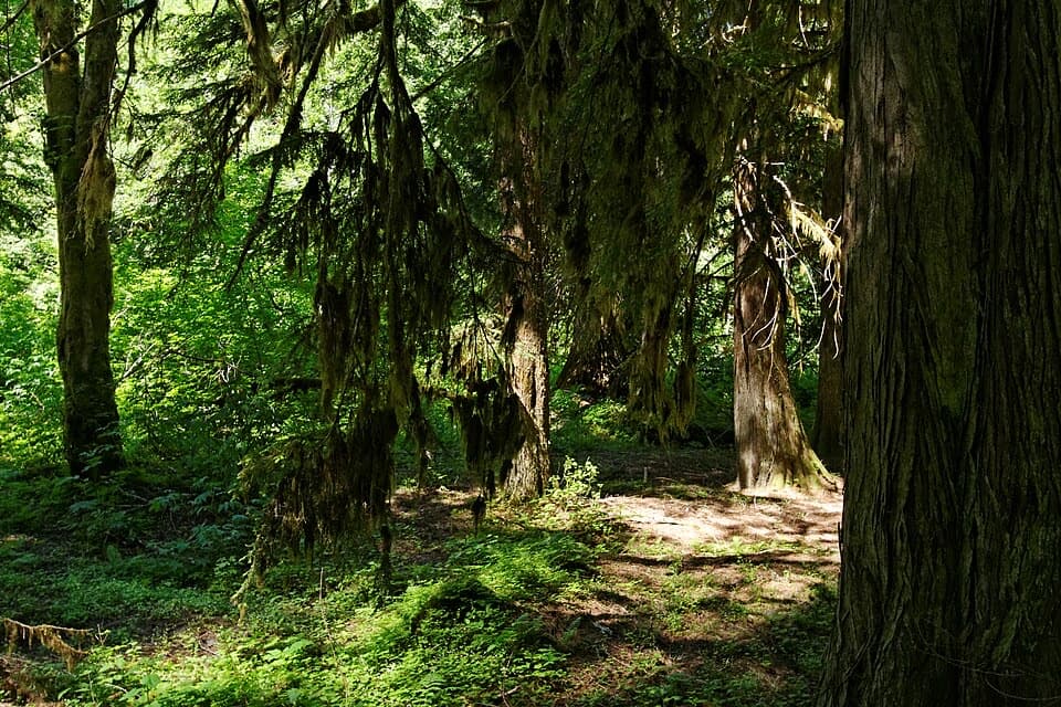
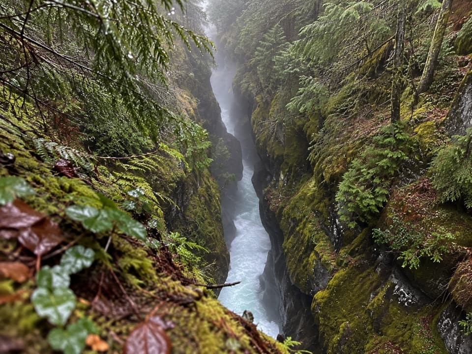
“Up ahead is Ohanapecosh, where huge firs, cedars and hemlocks shade the river. I'd stop here for the old forest and Silver Falls, where a footbridge brings you beside white water pouring through a rocky gorge.”

Plays as you drive up to Ohanapecosh Picnic Area in the Parkwolf Mount Rainier Tour Guide.

More stories near here in the app

  • A Douglas-fir’s Thick Skin
  • A Woodpecker's Rectangular Clue
  • Laughingwater Creek: A Full Day to Three Lakes
  • A Squirrel's Cone Pantry
  • 77 audio storiesacross Mount Rainier’s roads, triggered by GPS as you drive
  • Wildlife heatmapsfor Mountain Goat, Black Bear, Wolverine, and 13 more
  • Works offlinemaps, 99 trails, 87 places, and audio download before you lose signal
  • CarPlay readysimple controls built for the drive
★★★★★
“Fantastic app with many points of information… It’s great to just turn on while you’re driving and it gives you an audio tour of the national Park. We love it!!!!”
JMJamesApp Store review
Download Parkwolf on the App StoreGet Parkwolf on Google Play

4.7 from 8,600+ ratings

Guide

More about Ohanapecosh Picnic Area

Stop here for a mealOhanapecosh Picnic Area is a day-use stop in Mount Rainier's southeast corner, set among…

Ohanapecosh Picnic Area is a day-use stop in Mount Rainier's southeast corner, set among Douglas-fir, western red cedar and western hemlock. It is a practical place to sit down for a meal: eight picnic tables are arranged in three clusters, and each cluster has a grill.

A name tied to the gorgeOhanapecosh is commonly translated as “standing at the edge,” referring to the cliff edges…

Ohanapecosh is commonly translated as “standing at the edge,” referring to the cliff edges along the bedrock gorge cut by the river.

Evidence of much older visitsIn the broader campground area, archaeological work uncovered artifacts dating 3,700 to 6,400…

In the broader campground area, archaeological work uncovered artifacts dating 3,700 to 6,400 years old. They are thought to be connected to Taidnapam ancestors of the Upper Cowlitz and Yakama peoples; these finds were not at the picnic tables themselves.

A former hot-springs resortNatural hot springs drew resorts to Ohanapecosh in the early 1900s.

Natural hot springs drew resorts to Ohanapecosh in the early 1900s. The area remained outside Mount Rainier National Park until 1933; resort operations ended in 1961, and the buildings were later removed.

Wildlife

Wildlife in Mount Rainier

All Mount Rainier wildlife maps

Sighting maps show where each species has been reported across Mount Rainier. Wildlife moves, so no sighting is guaranteed.

Keep exploring

Near Ohanapecosh Picnic Area

See it all on the map

Trails nearby

More stops nearby

Parkwolf’s Mount Rainier ranking

Top sights in Mount Rainier

All 87 places
  1. 1Reflection LakesSight
  2. 2Myrtle FallsSight
  3. 3Panorama PointSight
  4. 4Narada FallsSight
  5. 5Tipsoo LakeSight
  6. 6Sunrise Point OverlookSight

Take Parkwolf to Mount Rainier.

The audio tour guide for the drive, plus offline maps, trails, and wildlife heatmaps for when the signal drops.

4.7 from 8,600+ ratings

Download Parkwolf on the App StoreGet Parkwolf on Google Play