Parking
Roadside parking is on the west side of SR 123, about 50 yards past the Laughingwater Creek bridge; cross to start on the east side.

Mount Rainier National Park, WA
A steady forest climb to backcountry lakes and an old patrol cabin.
Overview
Map & elevation
Plan your hike

The highest, rockiest slopes around here are a summer buffet for grizzly bears.
Mount Rainier Tour Guide
Parkwolf is a GPS audio tour guide for Mount Rainier National Park. As you drive, it chimes in with what’s ahead: hidden gems, upcoming stops, history, geology, and wildlife, right through your car’s speakers.
See the Mount Rainier audio tourRecorded for this trailhead
Laughingwater Creek: A Full Day to Three Lakes“You're coming up on Laughingwater Creek trailhead, where the hike to Three Lakes starts across the highway from the parking area.”
Plays as you drive up to this trailhead in the Parkwolf Mount Rainier Tour Guide.
More stories near here in the app
“Fantastic app with many points of information… It’s great to just turn on while you’re driving and it gives you an audio tour of the national Park. We love it!!!!”


Trail guide
Laughingwater Creek Trail is a 12-mile out-and-back from SR 123 to Three Lakes Camp, with about 2,700 feet of climbing. The payoff is a backcountry lakeside camp and a historic patrol cabin after a long climb through old-growth forest. The usual park estimate is six hours. Choose it for a full day of uphill walking, not a quick lake stop.
The first mile is gentle, followed by about two miles of steadier climbing. Near mile 1.9, the trail crests a ridge, drops to a saddle, and passes a small pond. For much of the lower route you hear Laughingwater Creek below rather than walk beside it; a short spur reaches the water around halfway. Past mile three, the climb steepens toward an open, wet meadow near 5,000 feet, then drops about 150 feet toward camp. Old map branches toward Sheep Lake and the East Boundary Trail are faint or unmarked, so stay on the established Laughingwater Creek route.
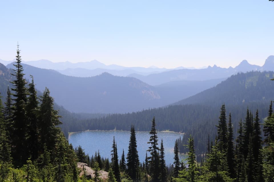
Three Lakes Camp sits beside two small lakes and a patrol cabin built in 1934. The largest third lake is a short continuation beyond the cabin. From there, another half mile reaches an open view of Mount Rainier; the Pacific Crest Trail connection continues farther beyond that. Those extensions add distance beyond the 12-mile camp outing. For a lake photo, keep some of the shoreline and forest in the frame; at the open viewpoint, include foreground meadow with Rainier.
The trail starts on the east side of SR 123, about 50 yards past the Laughingwater Creek bridge; roadside parking is on the west side, across the road. There is no food or drinking-water service on the route. Treat natural water before drinking. Pets are prohibited on park trails. Overnight camping requires a wilderness permit, is limited to designated sites, and allows no fires; a pit toilet and bear pole are at camp.
Wildlife
 466 sightingsMountain GoatMost seen around 6 AMSighting map
 383 sightingsBlack BearMost seen around 7 PMSighting map
 10 sightingsWolverineMost seen around 6 AMSighting map
 58 sightingsElkMost seen around 6 AMSighting map
 574 sightingsMule DeerMost seen around 6 AMSighting map
 1,853 sightingsHoary MarmotMost seen around 6 AMSighting map
Sighting maps show where each species has been reported across Mount Rainier. Wildlife moves, so no sighting is guaranteed.
Keep exploring
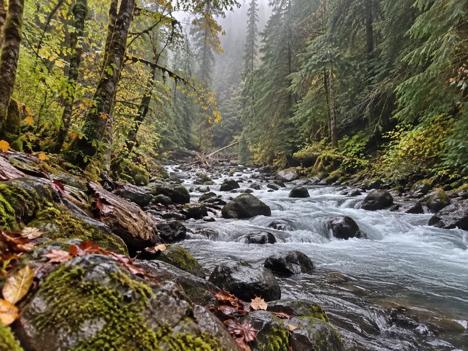 ModerateCowlitz Divide Trail8.5 mi · 5 hr · 0.4 mi awayAn old-growth creek walk ends at a backcountry junction.
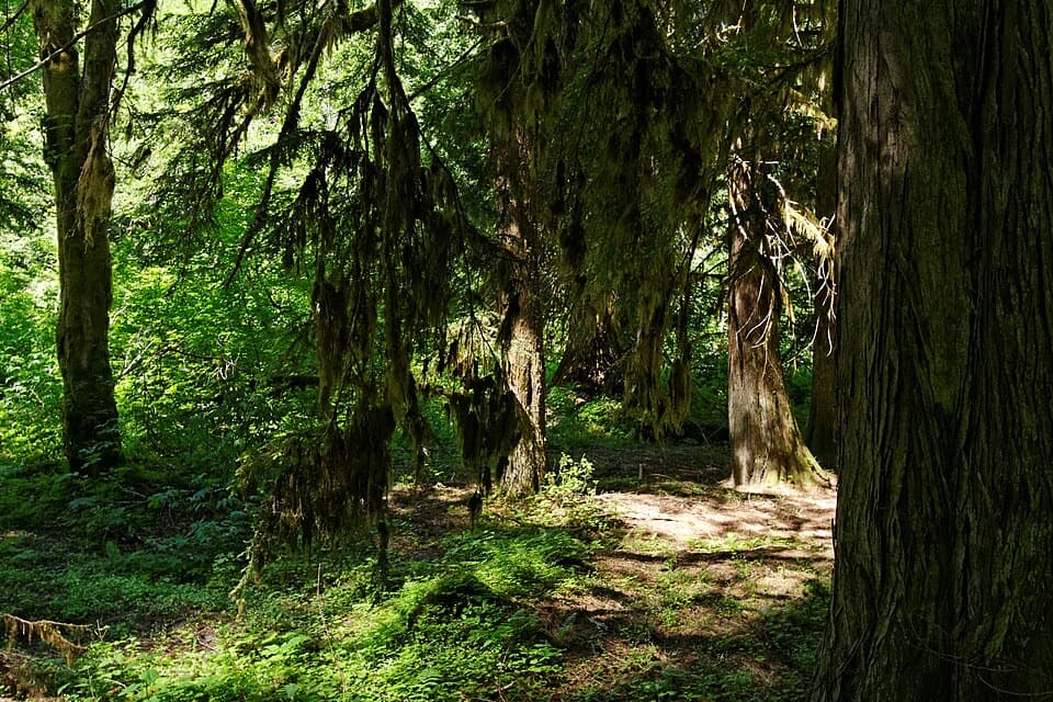 EasyGrove of the Patriarchs Trail1.1 mi · 1 hr · 0.4 mi awayAn easy island loop under some of Mount Rainier’s biggest trees.
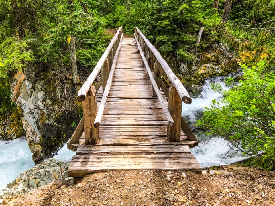 ModerateEastside Trail to Ohanapecosh Falls7.4 mi · 4 hr · 0.4 mi awayA forest walk to a nearly 70-foot, two-tier waterfall.
 ModerateSilver Falls Loop Trail2.7 mi · 1.5 hr · 1.1 mi awayAn old-growth river loop to a 75-foot waterfall.
 EasyHot Springs Nature Trail0.6 mi · 30 min · 1.2 mi awayA shaded walk to bubbling springs and an old resort site.
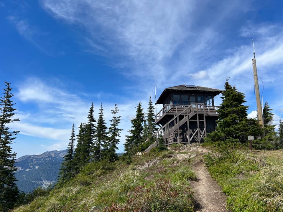 ChallengingShriner Peak Trail8 mi · 6 hr · 3.5 mi awayA tough, exposed climb to a historic lookout and wide views.
 ChallengingIndian Bar Trail14.5 mi · 11 hr · 3.8 mi awayA hard ridge crossing opens into a waterfall-filled alpine basin.
 EasyBox Canyon Loop Trail0.5 mi · 30 min · 3.8 mi awayA short paved loop peers into a deep, river-cut canyon.Sight · 0.1 mi awaySilver FallsA 60-foot drop and a footbridge in an old-growth gorge.
 Entrance station · 0.3 mi awayStevens Canyon EntranceGet a map before setting out on the cross-park road.
 Sight · 0.9 mi awayGrove of the PatriarchsOld-growth conifers on a small island in the Ohanapecosh River
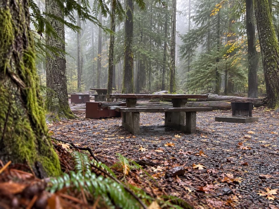 Campground · 1.2 mi awayOhanapecosh CampgroundOld-growth shade, river access, and hikes right from camp.
 Visitor center · 1.2 mi awayOhanapecosh Visitor CenterTrail advice and deep local history under old-growth trees.
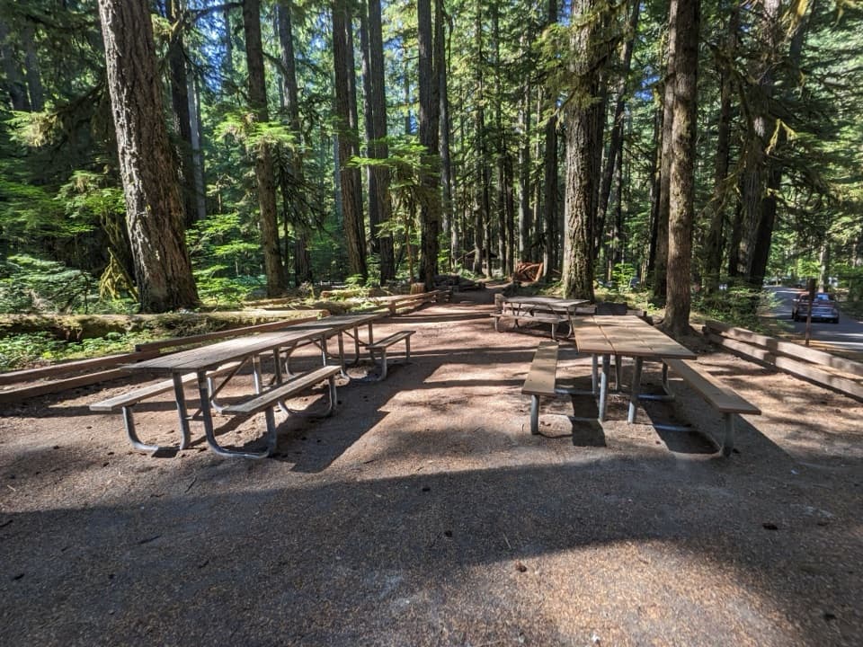 Picnic area · 1.2 mi awayOhanapecosh Picnic AreaEight tables and grills in the old-growth Ohanapecosh forest.
 Sight · 2.5 mi awaySR 123 South Entrance ArchA cedar-log gateway added decades after the road opened.
 Scenic pullout · 3.6 mi awayBackbone RidgeA roadside stop for Rainier and Tatoosh views when skies cooperate.
Parkwolf’s Mount Rainier ranking

The audio tour guide for the drive, plus offline maps, trails, and wildlife heatmaps for when the signal drops.