Parking
Use the Box Canyon parking area east of the road bridge on Stevens Canyon Road. The picnic area west of the tunnel is a separate stop.

Mount Rainier National Park, WA
A short paved loop peers into a deep, river-cut canyon.
Overview
Map & elevation
Plan your hike

The highest, rockiest slopes around here are a summer buffet for grizzly bears.
Mount Rainier Tour Guide
Parkwolf is a GPS audio tour guide for Mount Rainier National Park. As you drive, it chimes in with what’s ahead: hidden gems, upcoming stops, history, geology, and wildlife, right through your car’s speakers.
See the Mount Rainier audio tourRecorded for this trailhead
Box Canyon: A River in a Narrow Crack“Box Canyon is coming up beside Stevens Canyon Road. Make this stop for a look straight down into a remarkably narrow gorge: the river squeezes through a slot just thirteen feet wide at its tightest point.”
Plays as you drive up to this trailhead in the Parkwolf Mount Rainier Tour Guide.
More stories near here in the app
“Fantastic app with many points of information… It’s great to just turn on while you’re driving and it gives you an audio tour of the national Park. We love it!!!!”


Trail guide
This 0.5-mile loop starts east of Box Canyon Bridge, follows one canyon rim, crosses a wooden footbridge and returns along the opposite side. Allow about 30 minutes for the circuit and stops. The paths are paved, with steps on the west side.
The Muddy Fork of the Cowlitz runs through a narrow rock slot about 180 feet below the road bridge. The loop gives views down into the gorge from both sides.
The 160-foot stone-faced arch bridge dates to 1950–52. Rounded bedrock beside the east side of the loop bears fine glacial scratches. A separate paved path from the parking area descends steeply to a lower bridge overlook; it is not part of the loop.
The trail begins at the main parking area east of the bridge on Stevens Canyon Road. Road access is seasonal, so check its current status before driving in. Pets are not allowed on park trails.
Wildlife
 466 sightingsMountain GoatMost seen around 6 AMSighting map
 383 sightingsBlack BearMost seen around 7 PMSighting map
 10 sightingsWolverineMost seen around 6 AMSighting map
 58 sightingsElkMost seen around 6 AMSighting map
 574 sightingsMule DeerMost seen around 6 AMSighting map
 1,853 sightingsHoary MarmotMost seen around 6 AMSighting map
Sighting maps show where each species has been reported across Mount Rainier. Wildlife moves, so no sighting is guaranteed.
Keep exploring
 ChallengingIndian Bar Trail14.5 mi · 11 hr · At the trailheadA hard ridge crossing opens into a waterfall-filled alpine basin.
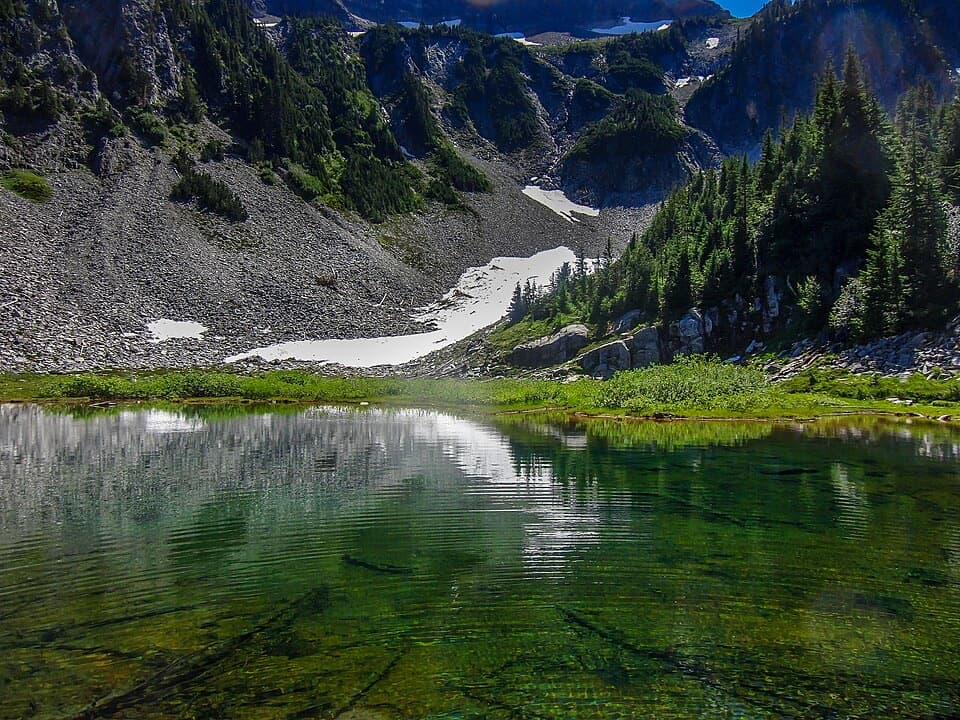 ModerateBench and Snow Lake Trail2.5 mi · 2 hr · 3.4 mi awayTwo lakes and Rainier views, reached by a short, rolling trail.
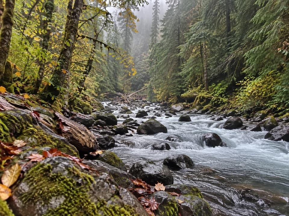 ModerateCowlitz Divide Trail8.5 mi · 5 hr · 3.5 mi awayAn old-growth creek walk ends at a backcountry junction.
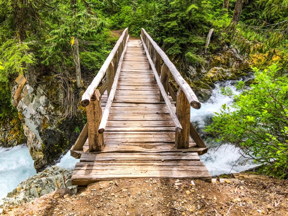 ModerateEastside Trail to Ohanapecosh Falls7.4 mi · 4 hr · 3.7 mi awayA forest walk to a nearly 70-foot, two-tier waterfall.
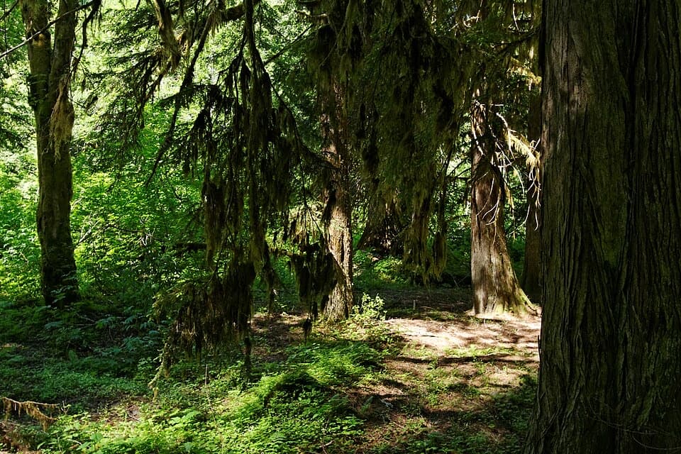 EasyGrove of the Patriarchs Trail1.1 mi · 1 hr · 3.7 mi awayAn easy island loop under some of Mount Rainier’s biggest trees.
 ModerateSilver Falls Loop Trail2.7 mi · 1.5 hr · 3.8 mi awayAn old-growth river loop to a 75-foot waterfall.
 ChallengingLaughingwater Creek Trail12 mi · 6 hr · 3.8 mi awayA steady forest climb to backcountry lakes and an old patrol cabin.
 EasyHot Springs Nature Trail0.6 mi · 30 min · 3.9 mi awayA shaded walk to bubbling springs and an old resort site.
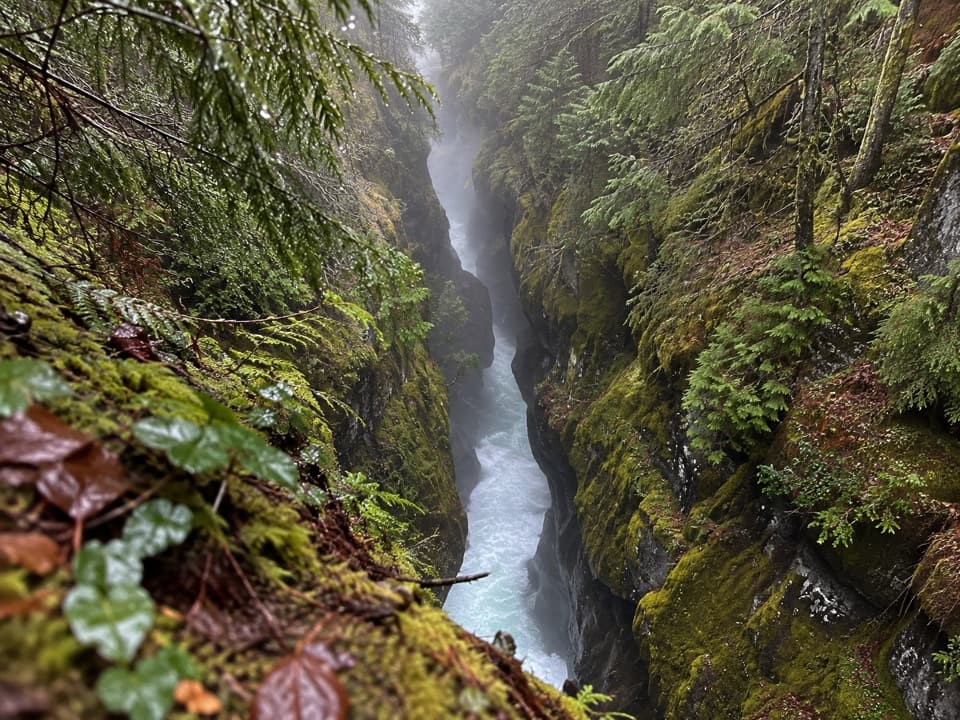 Sight · At the trailheadBox CanyonThe river squeezes through a 13-foot slot in the granite.
 Sight · 1.9 mi awaySylvia FallsA 43-foot fan of water folded into a narrow canyon.
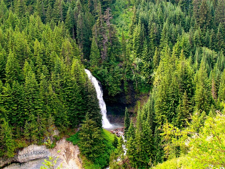 Sight · 2.8 mi awayMartha FallsA quick roadside waterfall view in Stevens Canyon.Sight · 3.7 mi awaySilver FallsA 60-foot drop and a footbridge in an old-growth gorge.
 Entrance station · 3.7 mi awayStevens Canyon EntranceGet a map before setting out on the cross-park road.
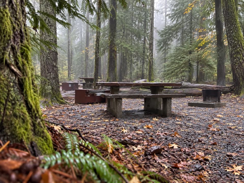 Campground · 3.8 mi awayOhanapecosh CampgroundOld-growth shade, river access, and hikes right from camp.
 Sight · 3.8 mi awayGrove of the PatriarchsOld-growth conifers on a small island in the Ohanapecosh River
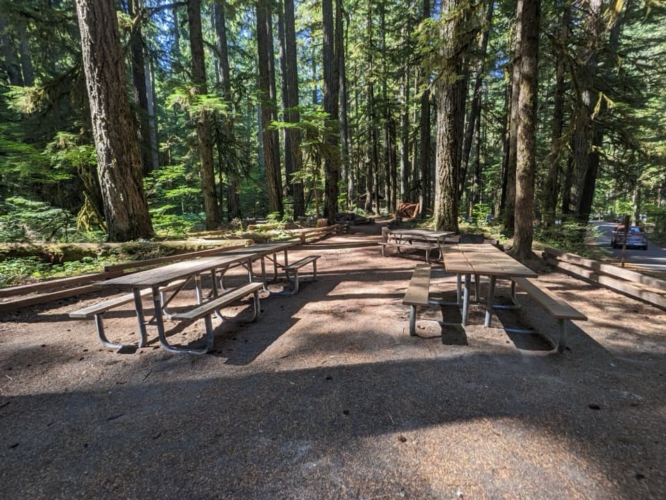 Picnic area · 3.8 mi awayOhanapecosh Picnic AreaEight tables and grills in the old-growth Ohanapecosh forest.
Parkwolf’s Mount Rainier ranking

The audio tour guide for the drive, plus offline maps, trails, and wildlife heatmaps for when the signal drops.




