Pros & cons
PROS
- Historic 1932 fire lookout with real character
- Huge Rainier and Cascade panoramas with real solitude
- Wilderness camps just below the summit for sunrise
CONS
- Very steep, exposed climb with little shade
- No water at the top and no restrooms nearby
Overview
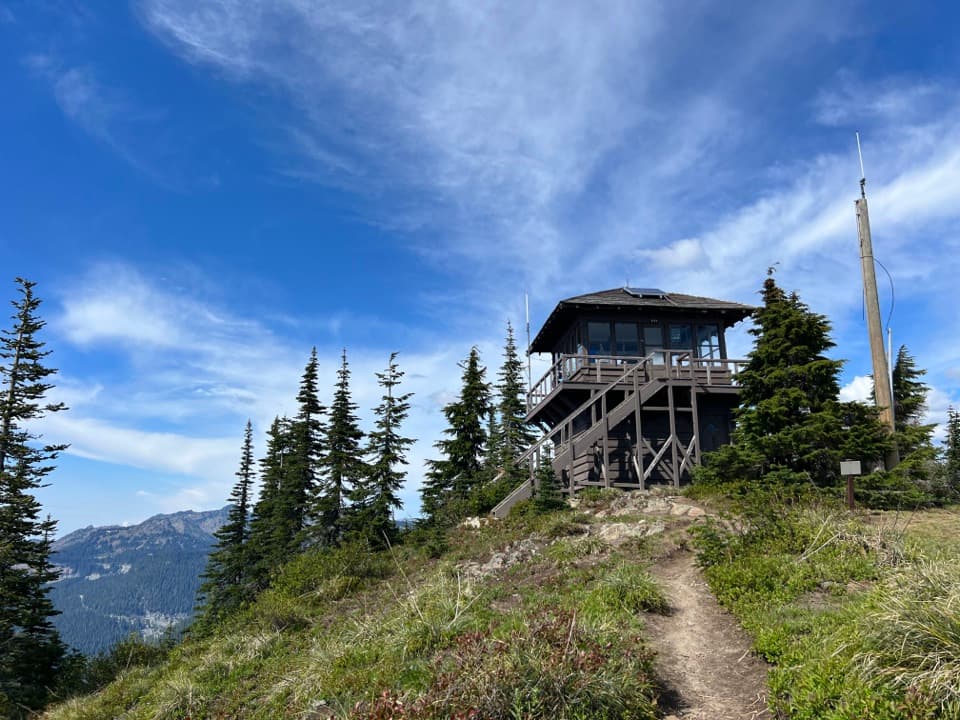
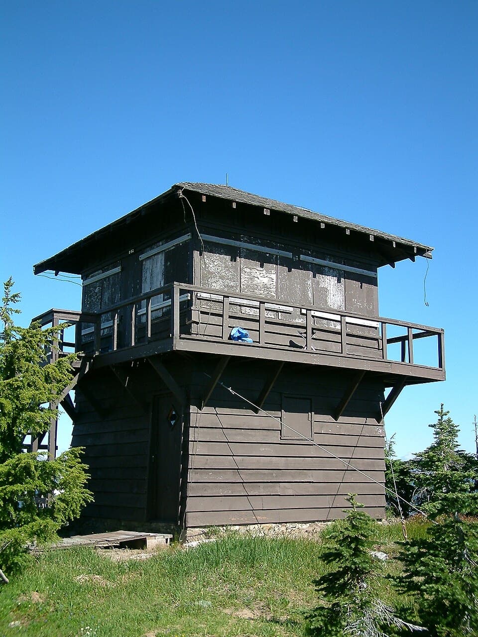
If you like your views earned, Shriner Peak Fire Lookout delivers. Built in 1932 and the oldest of the park’s four remaining lookouts, it perches above the quieter southeast corner with a front‑row seat to Rainier and the Ohanapecosh Valley. It’s a true throwback—simple, functional, and all about sightlines.
The Hike
Plan on 8–8.4 miles round‑trip and about 3,400 feet of gain. The trail wastes no time climbing, then breaks into old burn with almost no shade—hot on sunny days and notably steep in the upper half. Most hikers spend 5–7 hours round‑trip. The trailhead is a small roadside pullout on WA‑123 that’s easy to miss, and there’s no restroom at the trailhead (the nearest is at Grove of the Patriarchs, a few miles south).
Views & Wildlife
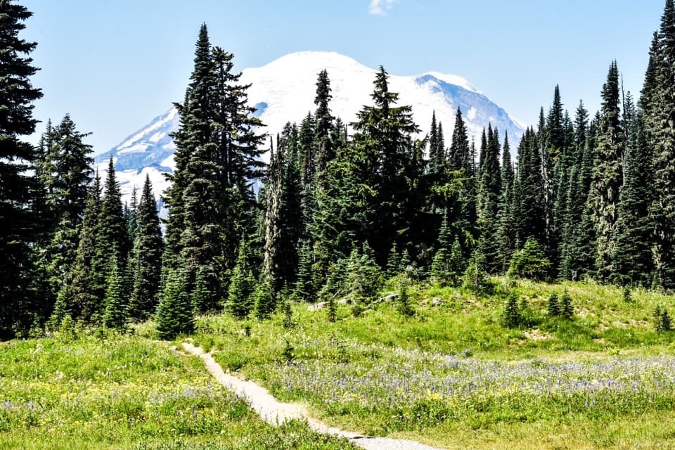
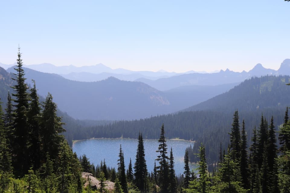
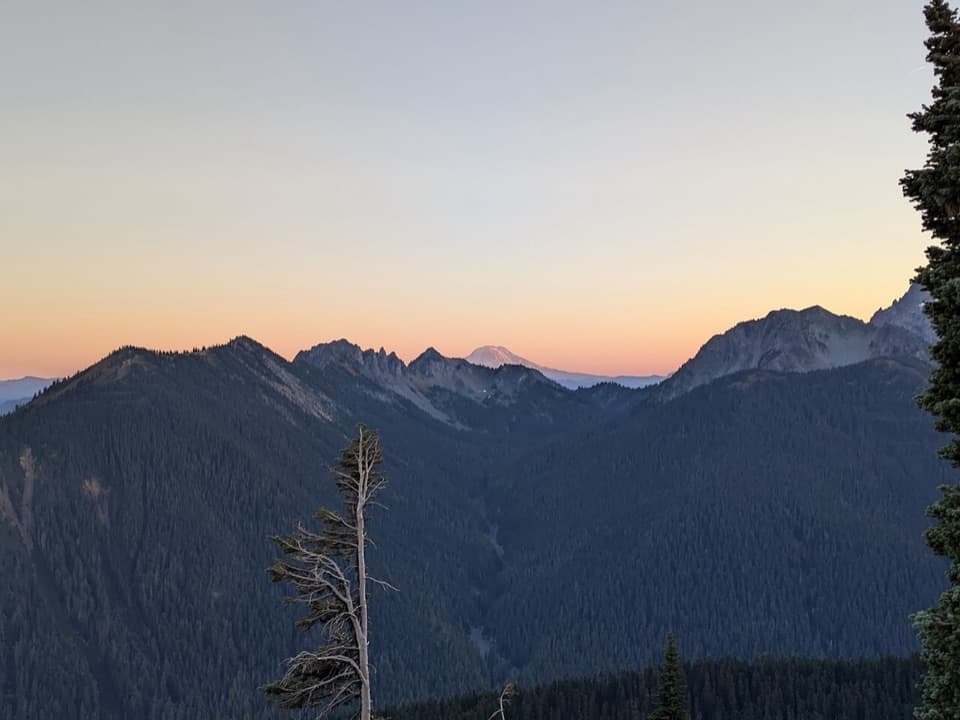
From the lookout you get sweeping 360° views: Mount Rainier front and center, the Ohanapecosh drainage below, and ridgelines of the Cascades rippling off in every direction. Look down to the meadows below—there’s a lake that’s a summer hangout for a large elk herd. Expect birds and smaller wildlife along the way, but the exposure and steady foot traffic keep bigger critters scarce.
History
Shriner Peak helped rangers spot trouble during the park’s early fire‑detection era, notably during a 1934 blaze that burned about 630 acres. Its classic wood‑frame design is largely original, and it’s recognized on the National Register of Historic Places. In summer, it’s occasionally staffed by volunteers.
Camping
Just south of the lookout are two designated wilderness camps (capacity five people each). You’ll need a wilderness permit to stay here. There’s no water at the lookout or camp—the only source is a spring about a mile back down the trail, so plan your carries and bring treatment.
Best Time to Visit
Snow‑free season runs roughly July through October. Start early to climb in cooler temps and catch the cleanest views. Autumn is a sleeper hit here—gorgeous late‑season color, fewer people, and crisp air. Sunrise is the marquee moment if you’re camping; otherwise aim for morning or late afternoon for softer light.
What to Expect
- Strenuous, sustained ascent with long exposed stretches
- Limited services—no water, no restrooms, no facilities
- Big‑time payoff at the top: solitude, story, and the best kind of views
Where it is
46.8023, -121.5549Tips for Shriner Peak Fire Lookout
- 01Start before 8am to beat the heat on the exposed climb.
- 02Carry extra water; there’s none at the lookout and only a spring about a mile below.
- 03If camping, secure a wilderness permit in advance.
- 04There are no restrooms at the trailhead or summit—plan your bathroom stops.
- 05The trailhead is a small pullout on WA‑123; slow down so you don’t miss it.
Amenities
Near Shriner Peak Fire Lookout
All places →All trails →
0 mi awayShriner Peak TrailSteep, sunny grind to a historic lookout with huge Rainier viewsChallenging · 8.5 mi · 6 hr
2.6 mi awayGrove of the PatriarchsShort, magical loop among ancient giants with a river suspension bridgeTrailhead · Parking
2.7 mi awayGrove of the Patriarchs TrailShort old-growth walk among thousand-year giants by the OhanapecoshEasy · 1.1 mi · 48 min
3.2 mi awayStevens Canyon Entrance ArchSummer gateway to Ohanapecosh, Grove of the Patriarchs, and Box CanyonEntrance Station
3.5 mi awaySilver Falls OverlookShort hike to a roaring 40‑foot waterfall in a lush canyonScenic Viewpoint
3.5 mi awaySilver FallsLush loop to a roaring gorge on the Ohanapecosh RiverTrailhead · Parking
4.6 mi awayCowlitz Divide TrailLong ridge walk with meadows, berries, and Rainier-to-Adams viewsChallenging · 14 mi · 8 hr
4.6 mi awayBox Canyon LoopShort, paved loop peering into a 180-foot slot canyonEasy · 0.5 mi · 18 min