Parking
Use the small roadside pullout on SR 123 about 200 feet south of the signed Deer Creek/Owyhigh Lakes Trailhead, on the east side of the road. The trail entrance is across SR 123; the crossing is at a blind corner.

Mount Rainier National Park, WA
A short, steep forest walk to Deer Creek’s tiered falls.
Overview
Map & elevation
Plan your hike

The highest, rockiest slopes around here are a summer buffet for grizzly bears.
Mount Rainier Tour Guide
Parkwolf is a GPS audio tour guide for Mount Rainier National Park. As you drive, it chimes in with what’s ahead: hidden gems, upcoming stops, history, geology, and wildlife, right through your car’s speakers.
See the Mount Rainier audio tourRecorded for this trailhead
Deer Creek Falls: A Short, Steep Walk“Deer Creek trailhead is coming up, with a short, steep forest walk to a waterfall that spills sideways across boulders before dropping into a gorge.”
Plays as you drive up to this trailhead in the Parkwolf Mount Rainier Tour Guide.
More stories near here in the app
“Fantastic app with many points of information… It’s great to just turn on while you’re driving and it gives you an audio tour of the national Park. We love it!!!!”


Trail guide
Deer Creek Falls is a short out-and-back on the Owyhigh Lakes Trail from SR 123, through old forest to a tiered waterfall and the Eastside Trail junction. The mapped hike is about 0.8 miles round trip; allow roughly 30 to 45 minutes, with a quick descent and a steeper climb back. The first falls viewpoint is about 0.2 mile down the trail. WTA lists the outing at 1 mile round trip, so the exact total varies with the turnaround and how the short route is measured.
Use the signed Deer Creek/Owyhigh Lakes trailhead about five miles south of Cayuse Pass. Park in the small roadside pullout about 200 feet south of the trail entrance, then cross SR 123 to the Owyhigh Lakes marker. The road closes to vehicles in winter, so this is a summer-season walk. Pets are not allowed on Mount Rainier trails.
The trail drops quickly on short switchbacks through dense old forest. Douglas fir, hemlock and cedar shade the route, and two small footbridges cross lively creeks. The return is the same way, so save some energy for the short, steep climb back to the road.
Deer Creek tumbles more than 60 feet over tiered rock into a gorge. From the first viewing area, the water seems to cut sideways through the boulders before dropping again; the flow changes through the season. The viewpoint is near the gorge brink, so stay on the trail and give the edge room. Continue to the Eastside Trail junction for another look at the falls and creek crossings, then turn around.
Wildlife
 466 sightingsMountain GoatMost seen around 6 AMSighting map
 383 sightingsBlack BearMost seen around 7 PMSighting map
 10 sightingsWolverineMost seen around 6 AMSighting map
 58 sightingsElkMost seen around 6 AMSighting map
 574 sightingsMule DeerMost seen around 6 AMSighting map
 1,853 sightingsHoary MarmotMost seen around 6 AMSighting map
Sighting maps show where each species has been reported across Mount Rainier. Wildlife moves, so no sighting is guaranteed.
Keep exploring
 ModerateStafford Falls via Deer Creek3.6 mi · 2.5 hr · At the trailheadBlue-green pools and a punch bowl after a steep forest drop.
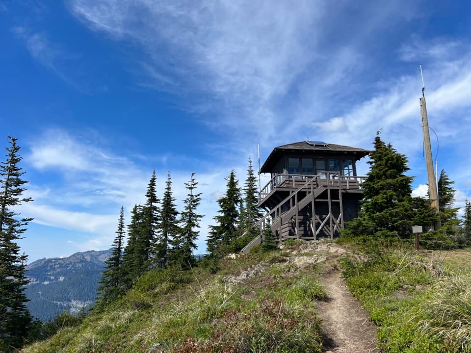 ChallengingShriner Peak Trail8 mi · 6 hr · 2.4 mi awayA tough, exposed climb to a historic lookout and wide views.
 ModerateEastside Trail11.2 mi · 6.5 hr · 2.4 mi awayMeadows, waterfalls, and old growth on a long mountain traverse.
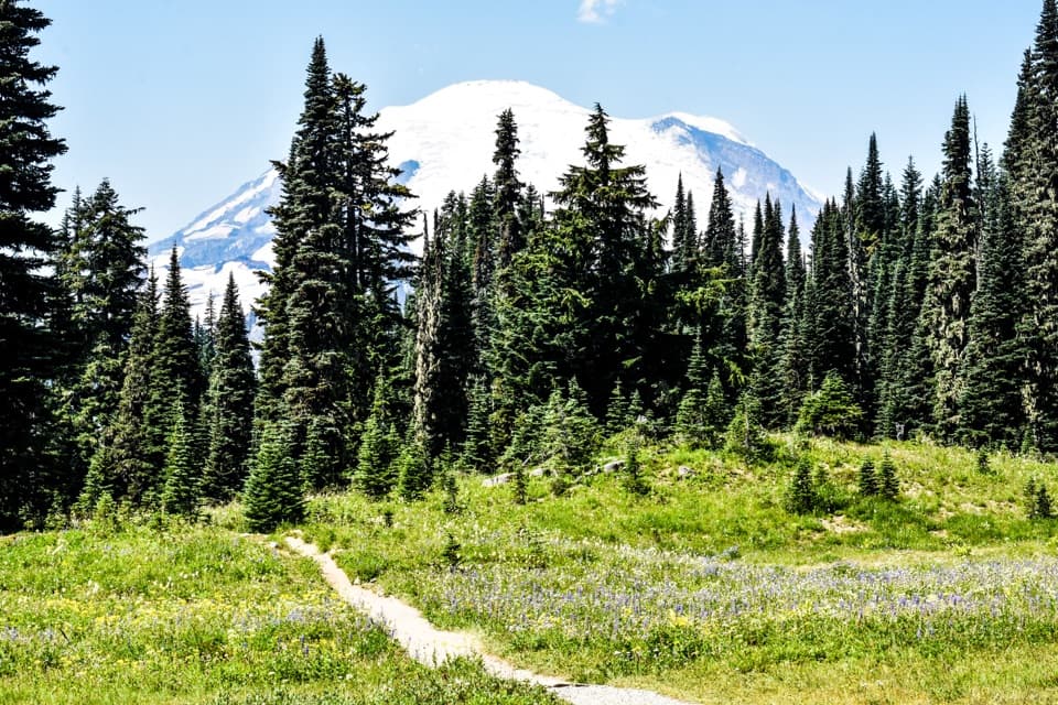 EasyTipsoo Lake Loop Trail0.7 mi · 30 min · 2.5 mi awayAn easy alpine lap with wildflowers, lake views and Rainier.
 ModerateNaches Peak Loop Trail3.5 mi · 2.5 hr · 2.5 mi awayRainier leads the meadow return; Dewey Lake drops away on the PCT.
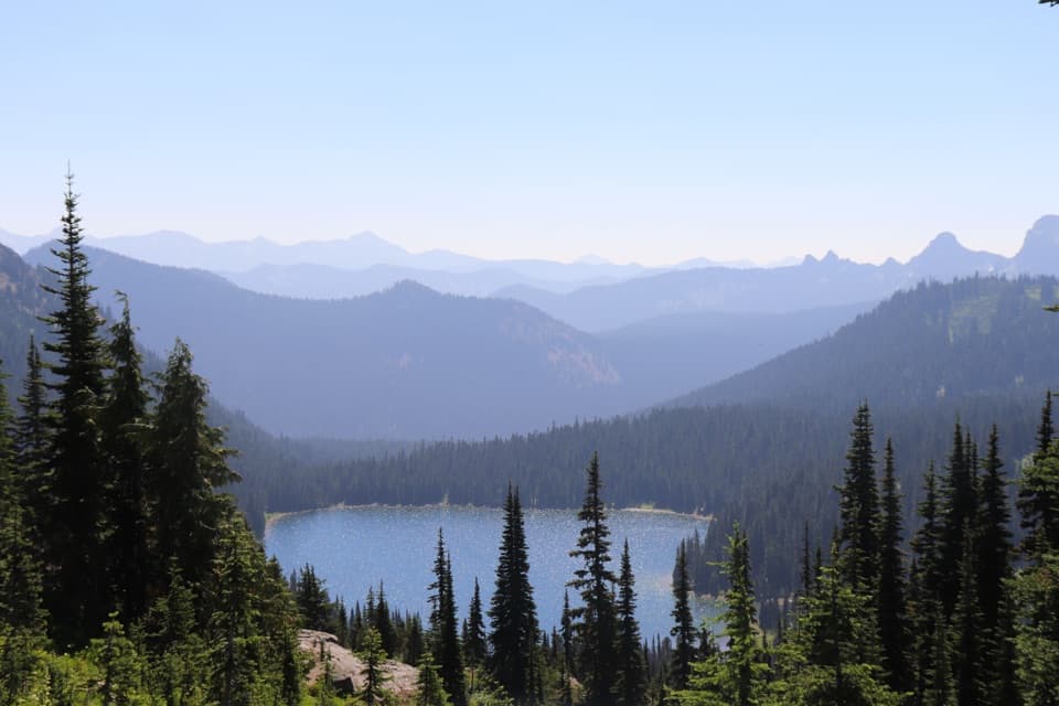 ModeratePacific Crest Trail: Chinook Pass to Laughingwater Creek Junction8.9 mi · 6 hr · 3 mi awayLakes, meadows and Rainier views reward this long PCT traverse.
 ModerateSheep Lake to Sourdough Gap Trail6.6 mi · 4 hr · 3 mi awayA lakeside pause before a steeper climb to a high saddle.
 ModerateDewey Lake via Chinook Pass6 mi · 4 hr · 3 mi awaySix miles on the PCT to Dewey Lake beneath Naches Peak.Sight · 0.1 mi awayDeer Creek FallsA short downhill walk to a 60-foot gorge waterfall.
 Sight · 1.2 mi awayStafford FallsA blue-green waterfall hike with a steep climb back to the road.
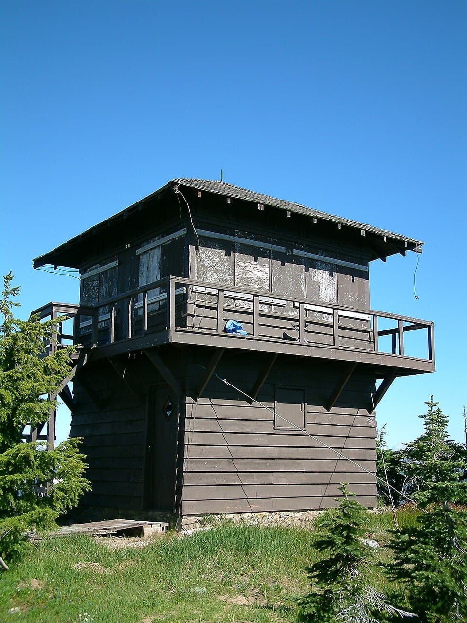 Sight · 1.4 mi awayShriner Peak Fire LookoutA 1932 lookout caps a steep hike to Rainier’s southeast panorama.
 Sight · 2.4 mi awayOhanapecosh FallsTwo drops, a footbridge, and a long walk into the forest.
 Sight · 2.6 mi awayTipsoo LakeA short loop, wildflowers, and a chance at Rainier's reflection.
 Sight · 2.8 mi awayChinook Entrance ArchA 90-foot CCC gateway doubles as a Pacific Crest Trail crossing.
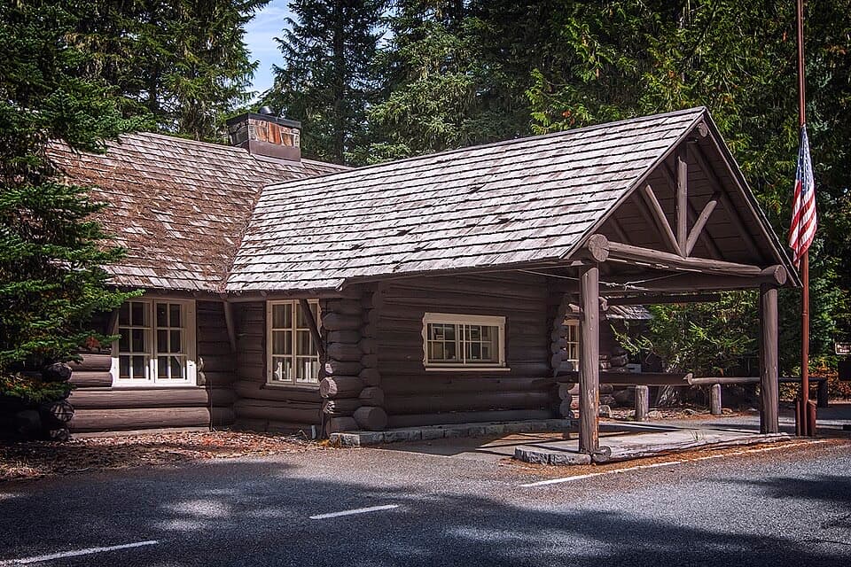 Visitor center · 4.8 mi awayWhite River Wilderness Information CenterGet permits, maps, and trail advice before heading toward Sunrise.
 Sight · 4.9 mi awayGrove of the PatriarchsOld-growth conifers on a small island in the Ohanapecosh River
Parkwolf’s Mount Rainier ranking

The audio tour guide for the drive, plus offline maps, trails, and wildlife heatmaps for when the signal drops.



