
Place
Moderate
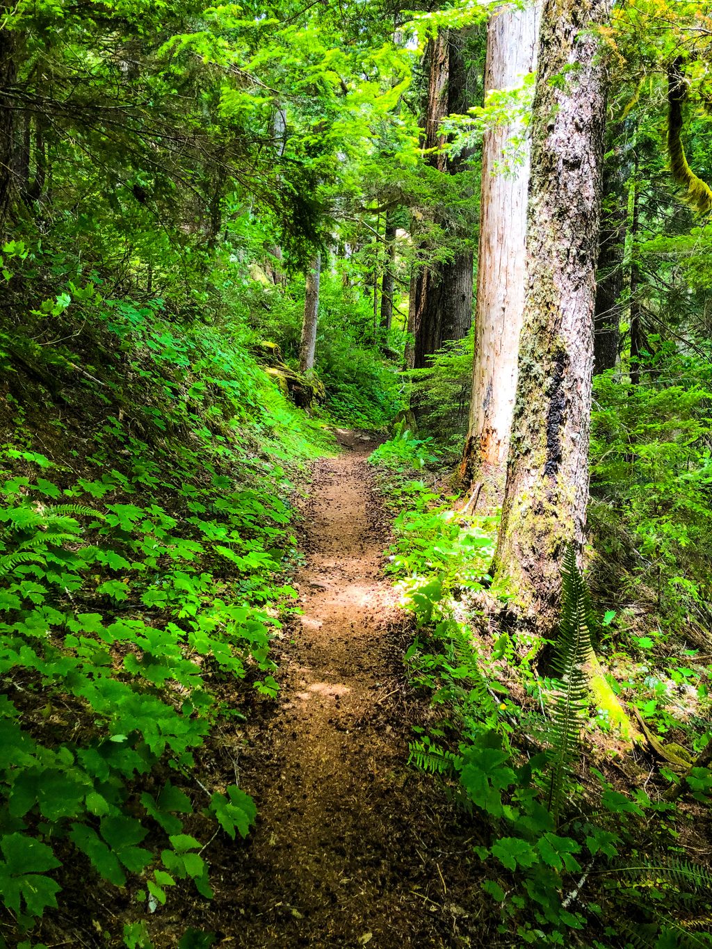
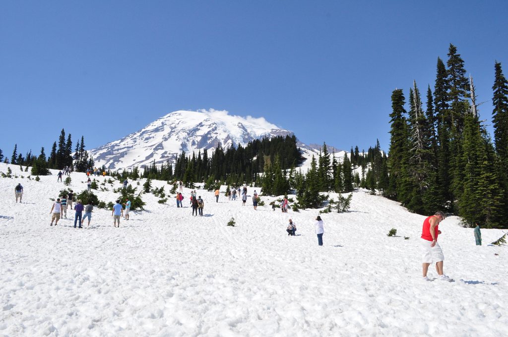
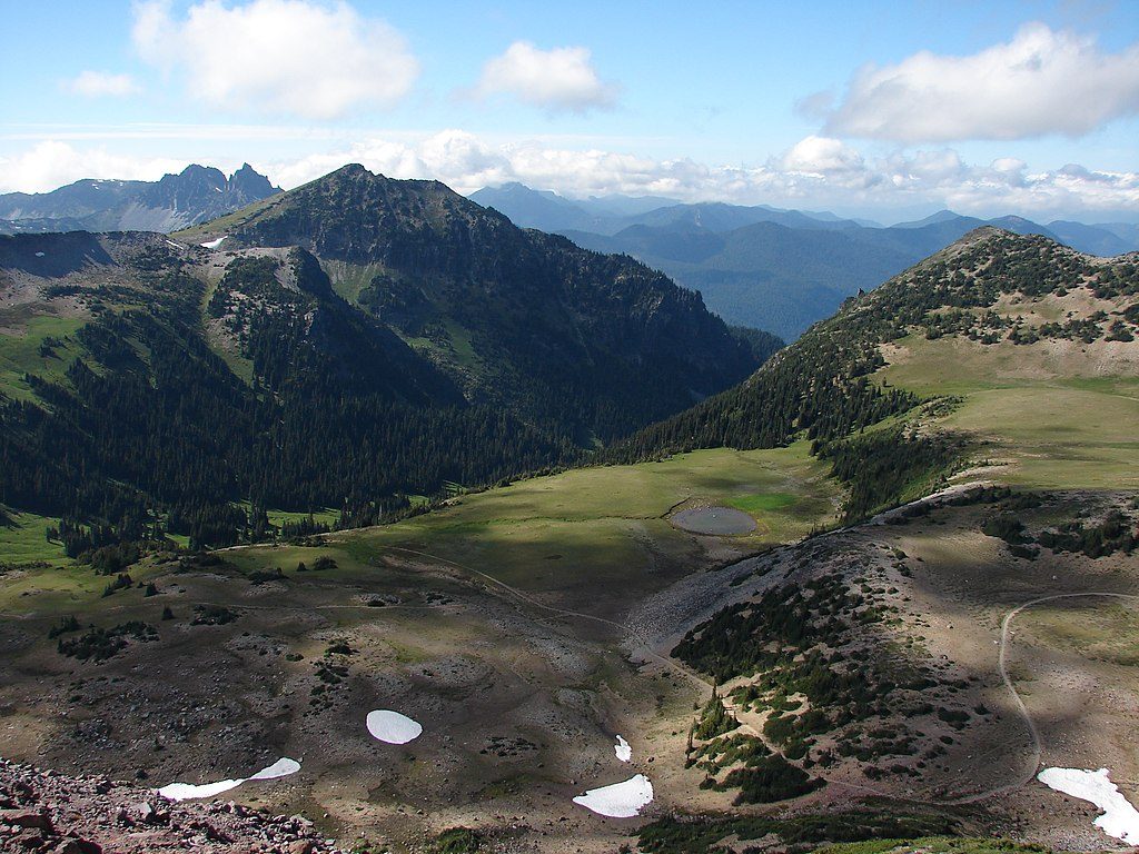
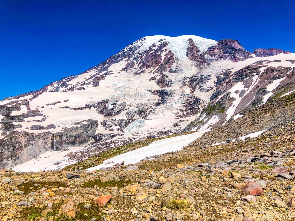
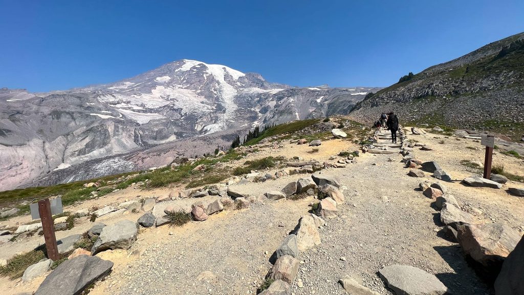
The Eastside Trail is Mount Rainier’s long, low‑key traverse on the park’s east flank—13.3 miles one way from the high meadows around Tipsoo Lake/Chinook Pass down to the lush forests near Ohanapecosh. It strings together subalpine wildflower slopes, roaring creeks, and cathedral‑scale old growth. Think classic Rainier scenery without the Wonderland crowds.
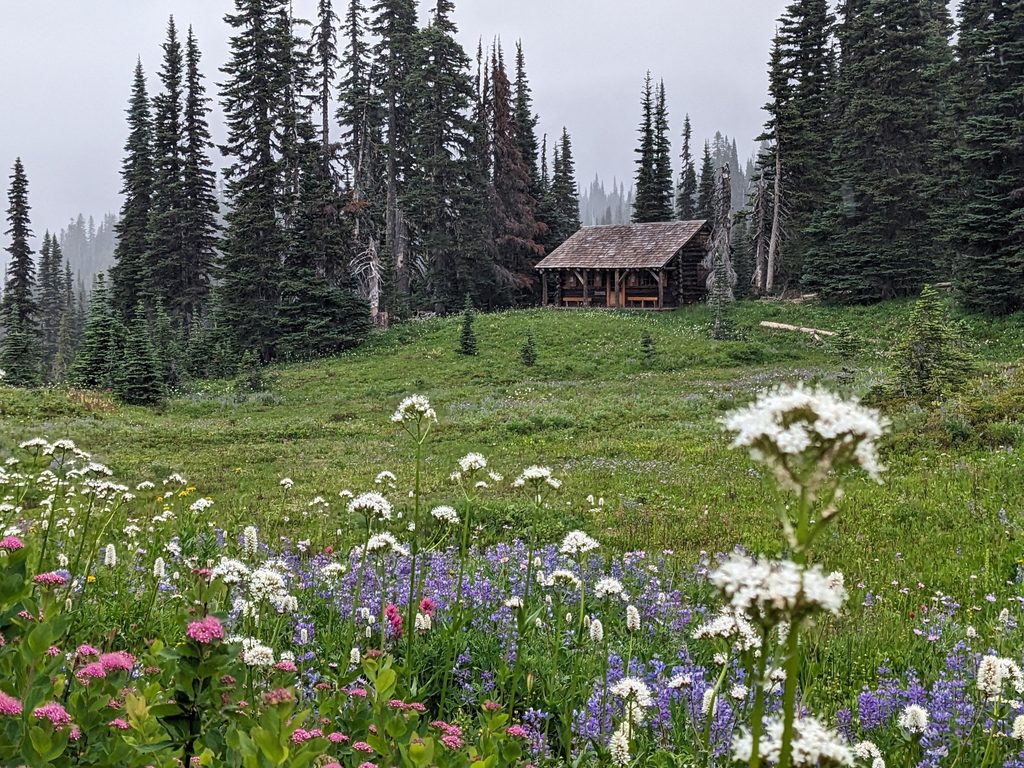
Start high for a greatest‑hits reel of meadows and patchy subalpine forest with periodic views of the mountain. As you work south, waterfalls and cascades become the soundtrack—especially along Chinook Creek and the Ohanapecosh River—before the trail melts into deep, mossy forest. Near the southern end, a side trip to the Grove of the Patriarchs reveals ancient giants that feel older than time.
It’s a point‑to‑point hike with a total elevation change around 3,532 feet. Most hikers call it moderate overall: steeper and more committing between Tipsoo Lake and Deer Creek (about 2,500 feet of change), then gentler from Deer Creek down to Ohanapecosh (roughly 1,000 feet). Multiple access points let you tailor a shorter day or backpack it via designated wilderness camps (such as Deer Creek). If you want the easiest day, start high and go north‑to‑south with a shuttle or car swap.
Late spring through fall is the sweet spot. Early summer brings wildflowers to the upper meadows; autumn lights up the forest with color—and you may even hear elk bugling in the valleys. Early season and shoulder months can be especially impressive for waterfalls. Higher segments can hold snow into the early season, and seasonal conditions vary.
This corridor tracks a classic glacially carved valley now shaped by lively creeks and the Ohanapecosh River. Volcanic soils feed those wildflower meadows up high, while the lower valley shelters some of the region’s oldest forests. Keep an ear out for Roosevelt elk, especially in fall.
Bottom line: It’s an underrated, diverse traverse that trades fame for flow. If you like steady grades, waterfalls, and ancient trees—and don’t mind arranging a shuttle—you’ll love it.
North end at Tipsoo Lake/Chinook Pass; south end by Ohanapecosh Visitor Center/Campground. Intermediate access at places like Deer Creek. Many hikers run a two‑car shuttle between ends.
Log footbridges frequently wash out over winter; confirm current passability. Upper sections can hold snow early season. Stay on trail in fragile meadows.
Place
Place
Place
Place
Challenging
Challenging
Challenging
Challenging

Parkwolf Tour Guide
