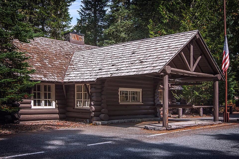
Stafford Falls via Deer Creek in Mount Rainier National Park

Mount Rainier National Park, WA

Stafford Falls via Deer Creek

Blue-green pools and a punch bowl after a steep forest drop.

Photo: National Park Service
Length
3.6mi
Time
2.5hr
Elev. change
554ft
Difficulty
Moderate
  • No dogs
  • High point 3,232 ft

Hear the audio tour

Deer Creek Falls: A Short, Steep Walk

Overview

About Stafford Falls via Deer Creek

Why go

  • Blue-green pools and cascades appear before the main waterfall.
  • A strong waterfall payoff fits into a half-day outing.

Heads up

  • The walk finishes with a steep climb back to SR 123.
  • Roadside parking is limited and requires crossing the highway.

Map & elevation

The route

Loading the Mount Rainier map
Full map
Elevation2,677–3,232 ft
TrailheadDeer Creek/Owyhigh Lakes Trailhead on SR 12346.83360, -121.53520
Keep this map with you offline in the Parkwolf app

Plan your hike

Before you go

Parking

Use the Deer Creek/Owyhigh Lakes trailhead on SR 123, about five miles south of Cayuse Pass. The parking area is on the east side of the road, roughly 200 feet south of the sign; cross SR 123 carefully to start. Space is limited to a few vehicles. There is no toilet at the roadside start; a privy is available at Deer Creek Camp near the junction.

Safety

The route drops nearly 300 feet in its first 0.4 mile, then climbs back to the highway. The Stafford Falls viewpoint sits near the lip above vertical basalt walls; keep to the established path and do not scramble down to the pool. Cross SR 123 carefully. Vehicle access closes in winter. Pets are prohibited on park trails.

7 active Mount Rainier alerts

  • ClosureWildfire closures in the northern parkGrand Park 2 and Wonderland Complex fire closures affect trails, backcountry camps, and Sunrise access; stay out of closed areas.Official details
  • ClosureSR 165 bridge closed: no public access to Carbon River or Mowich LakeThe SR 165 Carbon River/Fairfax Bridge is closed to vehicles, bicycles, and pedestrians; there is no public access or alternate route to Carbon River or Mowich Lake.Official details
See all 7 alerts
A park ranger sits on a dash-mounted phone, talking, as Parkwolf’s Tour Guide plays “Army Cutworm Moths: A Grizzly Bear Buffet” on Grand Loop Road below Dunraven Pass in Yellowstone
Parkwolf Tour GuideThe highest, rockiest slopes around here are a summer buffet for grizzly bears.

Mount Rainier Tour Guide

Your drive to Stafford Falls via Deer Creek, narrated.

Parkwolf is a GPS audio tour guide for Mount Rainier National Park. As you drive, it chimes in with what’s ahead: hidden gems, upcoming stops, history, geology, and wildlife, right through your car’s speakers.

See the Mount Rainier audio tour

Recorded for this trailhead

Deer Creek Falls: A Short, Steep Walk
0:00 / 0:24
“Deer Creek trailhead is coming up, with a short, steep forest walk to a waterfall that spills sideways across boulders before dropping into a gorge.”

Plays as you drive up to this trailhead in the Parkwolf Mount Rainier Tour Guide.

More stories near here in the app

  • An Elk's Antlers Start Over
  • Listening Beneath Rainier
  • Why the River Looks Milky
  • When Snow Turns Pink
  • 77 audio storiesacross Mount Rainier’s roads, triggered by GPS as you drive
  • Wildlife heatmapsfor Mountain Goat, Black Bear, Wolverine, and 13 more
  • Works offlinemaps, 99 trails, 87 places, and audio download before you lose signal
  • CarPlay readysimple controls built for the drive
★★★★★
“Fantastic app with many points of information… It’s great to just turn on while you’re driving and it gives you an audio tour of the national Park. We love it!!!!”
JMJamesApp Store review
Download Parkwolf on the App StoreGet Parkwolf on Google Play

4.7 from 8,600+ ratings

Trail guide

Hiking Stafford Falls via Deer Creek

A short walk to Stafford FallsStafford Falls via Deer Creek is a 3.

Stafford Falls via Deer Creek is a 3.6-mile out-and-back from the Deer Creek/Owyhigh Lakes trailhead on SR 123. Follow Owyhigh Lakes Trail 0.4 mile downhill to Eastside Trail, then head south about 1.4 miles to a short spur at the falls and return the same way. Allow about 2.5 hours for the creek stops and the steep climb back to the road. A short side trip at the junction visits Deer Creek Falls and adds a little distance.

From the highway to the creekThe trailhead sign reads Owyhigh Lakes, not Stafford Falls.

The trailhead sign reads Owyhigh Lakes, not Stafford Falls. The route drops through forest beside Deer Creek, losing nearly 300 feet in the first 0.4 mile. At the bottom it meets Eastside Trail. An optional detour to the right crosses two footbridges to cascades and a pool on Chinook Creek; retrace it to the junction before continuing south.

Follow Chinook CreekThe Eastside stretch stays in dense lowland forest, with few broad views but plenty to watch at…

The Eastside stretch stays in dense lowland forest, with few broad views but plenty to watch at creek level. About 0.8 mile after the junction, a bridge crosses above a clear blue-green pool pouring through a rocky chute. Around a mile in, a rough side path reaches another rocky pool. Old-growth trees line the corridor.

The falls and the basalt bowlAt about 1.4 miles south of the junction, look for the short spur to Stafford Falls.

At about 1.4 miles south of the junction, look for the short spur to Stafford Falls. The waterfall drops about 30 feet into a clear plunge pool between steep, vertical basalt walls. It was named for early park ranger William Stafford. The viewpoint is close to the top of the falls; frame the drop with the dark rock walls and bright pool, and stay on the established path.

Parking, facilities and accessThe small parking area is on the east side of SR 123, about 200 feet south of the trailhead…

The small parking area is on the east side of SR 123, about 200 feet south of the trailhead sign, which you reach by crossing the highway. It holds only a few vehicles, so take care when crossing and parking. There is no toilet at the road; a wilderness camp privy is available at Deer Creek Camp near the junction. Pets are prohibited on park trails. Vehicle access is seasonal: SR 123 closes in winter, and the usual hiking season is May through October. Check road and trail conditions before setting out.

Wildlife

Wildlife in Mount Rainier

All Mount Rainier wildlife maps

Sighting maps show where each species has been reported across Mount Rainier. Wildlife moves, so no sighting is guaranteed.

Keep exploring

Near Stafford Falls via Deer Creek

See it all on the map

Trails that start nearby

Places near the trailhead

Parkwolf’s Mount Rainier ranking

Top-rated trails in Mount Rainier

All 99 trails
  1. 1Wonderland TrailChallenging · 93 mi
  2. 2Skyline Trail LoopChallenging · 5.5 mi
  3. 3Mount Fremont Lookout TrailModerate · 5.6 mi
  4. 4Burroughs Mountain TrailModerate · 6.2 mi
  5. 5Summerland TrailModerate · 8.4 mi
  6. 6Naches Peak Loop TrailModerate · 3.5 mi

Take Parkwolf to Mount Rainier.

The audio tour guide for the drive, plus offline maps, trails, and wildlife heatmaps for when the signal drops.

4.7 from 8,600+ ratings

Download Parkwolf on the App StoreGet Parkwolf on Google Play