Parking
Use the main Tipsoo Lake parking area off SR 410 at Chinook Pass. Parking can be limited during heavy visitation. Picnic tables and a vault/composting toilet are near the lot.
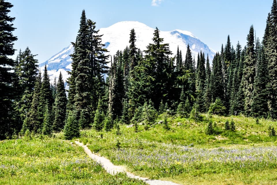
Mount Rainier National Park, WA
An easy alpine lap with wildflowers, lake views and Rainier.
Overview
Map & elevation
Plan your hike

The highest, rockiest slopes around here are a summer buffet for grizzly bears.
Mount Rainier Tour Guide
Parkwolf is a GPS audio tour guide for Mount Rainier National Park. As you drive, it chimes in with what’s ahead: hidden gems, upcoming stops, history, geology, and wildlife, right through your car’s speakers.
See the Mount Rainier audio tourRecorded for this trailhead
Tipsoo Lake and Chinook's Trail Bridge“Up ahead is the Tipsoo Lake area near Chinook Pass, a good stop for a short lakeshore walk among the meadows.”
Plays as you drive up to this trailhead in the Parkwolf Mount Rainier Tour Guide.
More stories near here in the app
“Fantastic app with many points of information… It’s great to just turn on while you’re driving and it gives you an audio tour of the national Park. We love it!!!!”


Trail guide
Tipsoo Lake Loop Trail is an easy 0.7-mile circuit from the Tipsoo Lake parking area, linking a short access path with the shore paths around a subalpine lake. Give it about 30 minutes for the walk and longer if you want to pause for flowers and photos. This is a quick lakeside stop, not a mountain hike; the 3.4-mile Naches Peak Loop starts from the same lot if you want a longer outing.
From the main parking area, take the short path to the water and follow the easy routes around Tipsoo Lake. The route crosses meadow on dirt paths, with a couple of short wooden crossings and several path junctions. Stay on the established tread if paths split: the longer Naches Peak route leaves this area toward Chinook Pass and the Pacific Crest Trail, but that ridge walk is a different hike.
Tipsoo Lake sits in a glacier-carved basin ringed by subalpine meadows. Wildflowers typically peak in mid-to-late July, and fall color begins in September. Watch for tadpoles and frogs in the lake and birds around the meadow. For the signature photo, frame Rainier beyond the lake with meadow flowers along the shore in the foreground.
Vehicle access on SR 410 through Chinook Pass is usually seasonal, typically June through October; winter snow can delay opening, so check the road status before driving. The main lot has picnic tables and a vault/composting toilet, and parking can be limited during heavy visitation. Pets are not permitted around Tipsoo Lake, and swimming or wading is prohibited. Stay on the trails to protect the delicate meadow plants.
Wildlife
 466 sightingsMountain GoatMost seen around 6 AMSighting map
 383 sightingsBlack BearMost seen around 7 PMSighting map
 10 sightingsWolverineMost seen around 6 AMSighting map
 58 sightingsElkMost seen around 6 AMSighting map
 574 sightingsMule DeerMost seen around 6 AMSighting map
 1,853 sightingsHoary MarmotMost seen around 6 AMSighting map
Sighting maps show where each species has been reported across Mount Rainier. Wildlife moves, so no sighting is guaranteed.
Keep exploring
 ModerateNaches Peak Loop Trail3.5 mi · 2.5 hr · At the trailheadRainier leads the meadow return; Dewey Lake drops away on the PCT.
 ModerateEastside Trail11.2 mi · 6.5 hr · 0.1 mi awayMeadows, waterfalls, and old growth on a long mountain traverse.
 ModerateSheep Lake to Sourdough Gap Trail6.6 mi · 4 hr · 0.5 mi awayA lakeside pause before a steeper climb to a high saddle.
 ModerateDewey Lake via Chinook Pass6 mi · 4 hr · 0.5 mi awaySix miles on the PCT to Dewey Lake beneath Naches Peak.
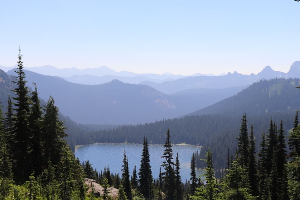 ModeratePacific Crest Trail: Chinook Pass to Laughingwater Creek Junction8.9 mi · 6 hr · 0.5 mi awayLakes, meadows and Rainier views reward this long PCT traverse.
 ModerateStafford Falls via Deer Creek3.6 mi · 2.5 hr · 2.5 mi awayBlue-green pools and a punch bowl after a steep forest drop.
 EasyDeer Creek Falls Trail0.8 mi · 45 min · 2.5 mi awayA short, steep forest walk to Deer Creek’s tiered falls.
 ChallengingCrystal Peak Trail8 mi · 6 hr · 3.9 mi awayHard climb, broad views, and a former lookout site above Crystal Lakes.
 Sight · 0.1 mi awayTipsoo LakeA short loop, wildflowers, and a chance at Rainier's reflection.
 Sight · 0.3 mi awayChinook Entrance ArchA 90-foot CCC gateway doubles as a Pacific Crest Trail crossing.Sight · 2.5 mi awayDeer Creek FallsA short downhill walk to a 60-foot gorge waterfall.
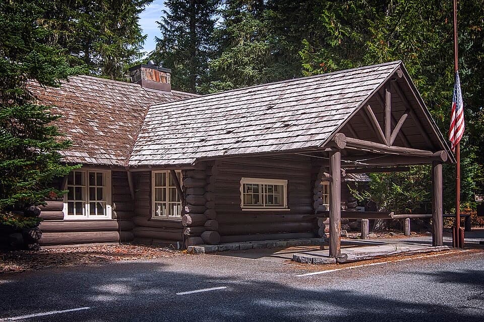 Visitor center · 3 mi awayWhite River Wilderness Information CenterGet permits, maps, and trail advice before heading toward Sunrise.
 Sight · 3.6 mi awayStafford FallsA blue-green waterfall hike with a steep climb back to the road.
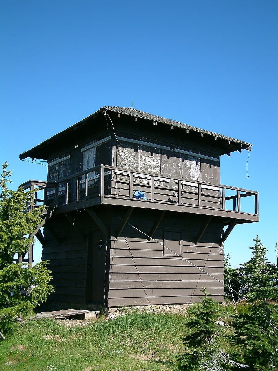 Sight · 3.8 mi awayShriner Peak Fire LookoutA 1932 lookout caps a steep hike to Rainier’s southeast panorama.
 Sight · 4 mi awaySunrise Road Columnar Rock FormationA roadside close-up of ancient lava columns and a glacier-built ridge.
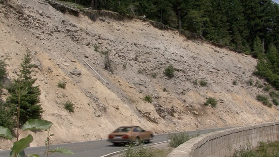 Scenic pullout · 4.1 mi awaySunrise Road PulloutA roadside geology stop for Rainier's volcanic layers and mudflow deposits.
Parkwolf’s Mount Rainier ranking

The audio tour guide for the drive, plus offline maps, trails, and wildlife heatmaps for when the signal drops.



