Challenging

Huckleberry Creek Trail

Remote creek-and-forest traverse from Forest Road 73 to Sunrise.
Huckleberry Creek Trail, Mount Rainier National Park
Distance9 mi
Typical time6 hr
DifficultyChallenging
PetsNot allowed

Overview

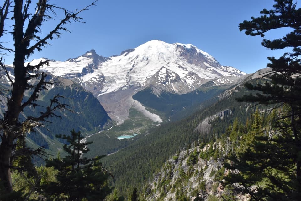
If you’re chasing solitude in Mount Rainier, this is it. Huckleberry Creek Trail threads a quiet valley from lowland forest up to Sourdough Ridge near the Sunrise area. It’s a long, committing point-to-point: roughly 8.5–9 miles one way from the lower access on Forest Road 73 to Sourdough Ridge near Sunrise, with the first 0.9 mile outside the park before you cross the boundary. You can hike it in either direction, set up a car shuttle, or just sample the first mile to the boundary for an easy family stroll.

Route, Distance & Elevation

Expect a steady, valley-long climb from Forest Road 73 (about 2,900 feet) to the high country near Sunrise (around 6,800 feet). Going uphill from FR 73 is a workout (roughly 3,800 feet of gain overall); starting high and descending to FR 73 is much easier (about 400 feet of total gain, mostly downhill). Inside the park, the trail closely follows Huckleberry Creek for roughly 7.5 miles to Sourdough Ridge.

On-Trail Experience

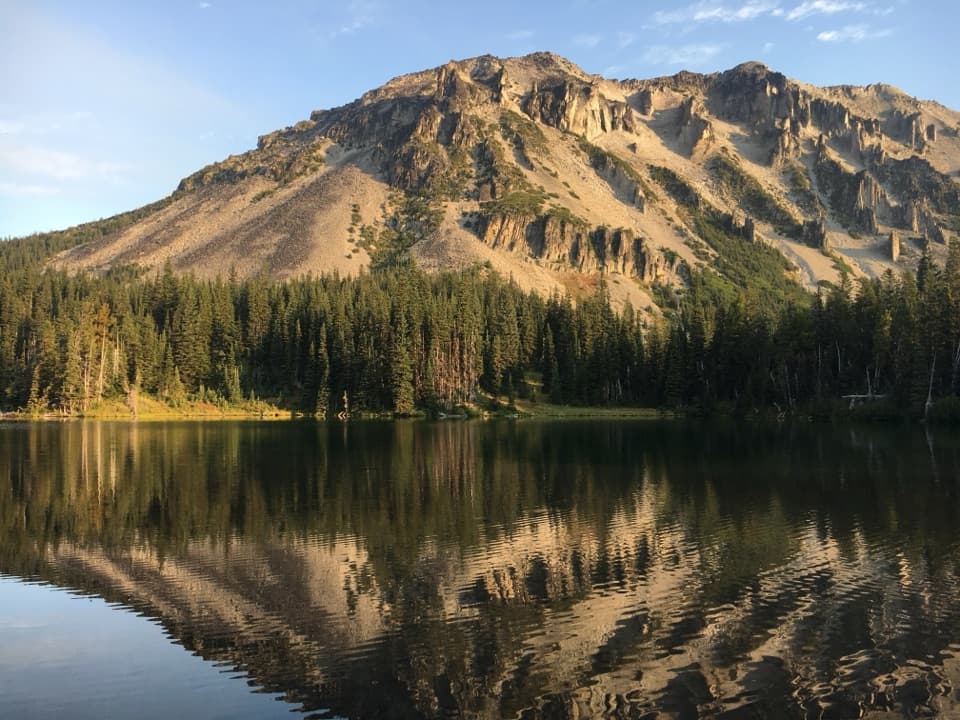
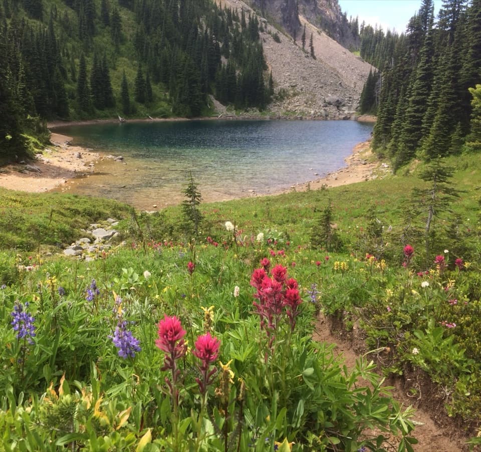
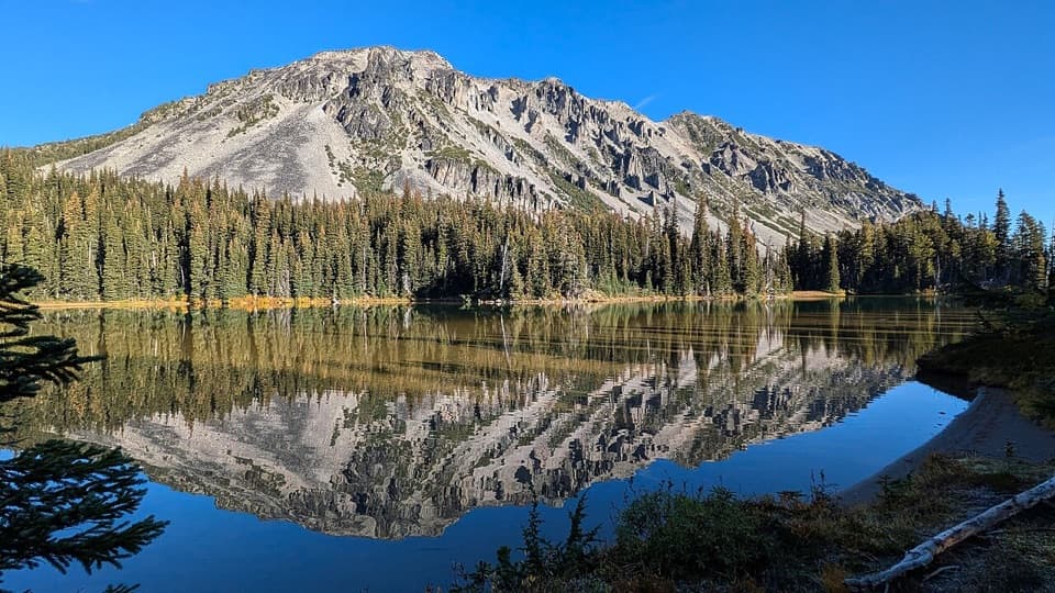
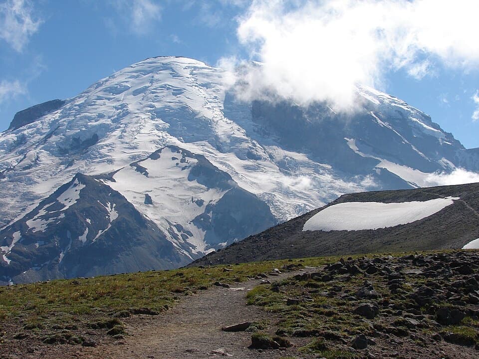
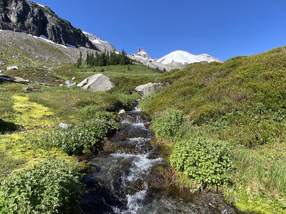
The lower miles are shaded and lush, mixing second-growth and honest-to-goodness old-growth forest. The creek is your constant companion—cool air, water sounds, and mossy banks—making this especially pleasant on warm days. Crossings are part of the deal: you’ll step over or ford tributaries like Lost Creek and Prospector Creek, and there’s a bridge over Josephine Creek around the mid-route. Expect light maintenance in places—brushy bits, blowdowns now and then—and very few people. Higher up, the trees open to subalpine meadows and views near Sourdough Ridge. Late summer can mean huckleberries (yes, the name fits), and the upper corridor holds a 1930s patrol cabin and even an old park boundary marker—nice hits of park history.

What Makes It Unique

Huckleberry Creek is one of the rare non‑glacial watersheds in the park. That means clear, less silt‑laden water and a different feel than the roaring, milky glacial streams. Combine that with the historic patrol cabin and you’ve got nature plus story—a quieter, underrated slice of Rainier.

Best Time to Hike

Aim for mid-summer through early fall. Snow can linger high into early summer; by mid‑July the full traverse usually comes into shape. Late summer is prime for berries. Shoulder seasons can bring muddy tread and lively creek crossings during melt or heavy rain. Weekdays almost guarantee solitude; even weekends are quiet compared to the rest of Sunrise.

Tips & Logistics

  • Direction matters: Start at Sunrise if you want an easier net‑downhill day; start at FR 73 for the fitness grind. Budget roughly 5 hours descending, 7 hours ascending (without long stops).
  • Water crossings: Not every crossing is bridged. Waterproof boots or quick‑dry shoes are smart; be prepared to get your feet wet during high flow.
  • Navigation: The path is established but lightly traveled—bring a map/GPS. Cell service is spotty at best.
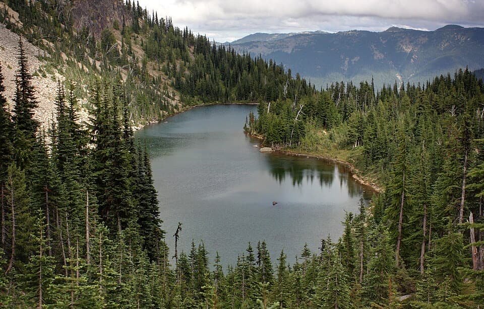
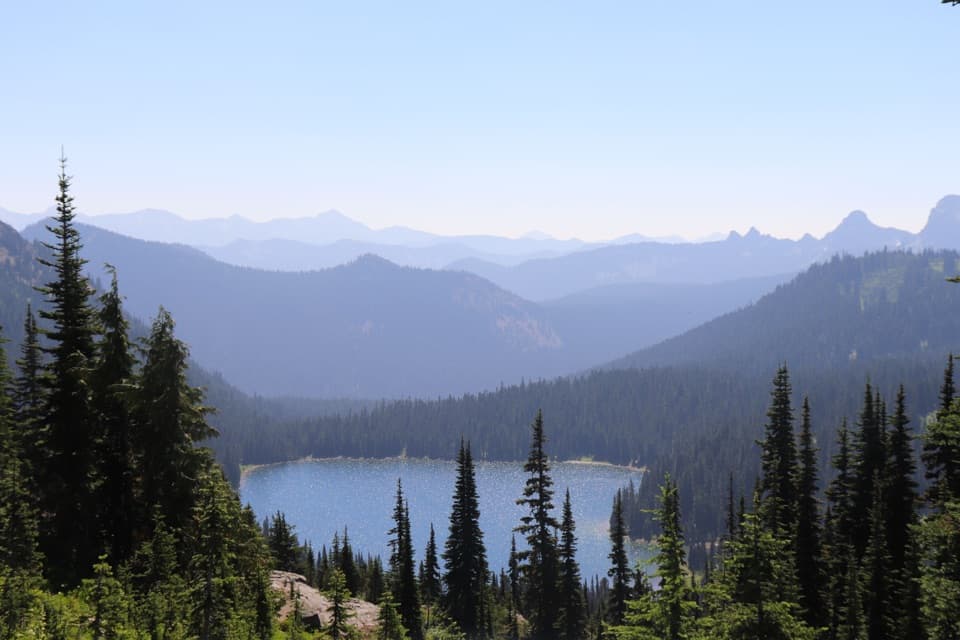
  • Camping: Forest Lake (about 7.5 miles in, ~5,700 feet) is a tranquil backcountry camp. Wilderness permits are required for any overnight inside the park.
  • Pets: Dogs must turn around at the park boundary (0.9 mile from the lower trailhead). No pets on trails inside the national park.
  • Shuttles: For a point‑to‑point day, arrange cars at FR 73 and near Sunrise. Otherwise, treat it as a long out‑and‑back or pair with adjacent trails for a bigger itinerary.

Who Will Like It (and Who Won’t)

Choose this if you value quiet, forest ambience, creekside travel, and a route that grows into subalpine views. Skip it if you want constant big-mountain panoramas with minimal effort—starting directly on Sourdough Ridge near Sunrise delivers fast‑track alpine scenery without the long valley approach.

Pros

  • One of the park’s few non‑glacial creek valleys—clear, quiet water all day
  • Seasonal huckleberries along the upper trail and a 1930s patrol cabin for history buffs
  • Genuine solitude on a lightly traveled corridor

Cons

  • Unbridged crossings can require rock‑hopping or wading, especially during melt or rain
  • Logistics-heavy if done as a full traverse (car shuttle recommended)
  • Light maintenance means brush and occasional blowdowns

Parking

Lower access at the Huckleberry Creek trailhead on Forest Road 73 (no parking pass required per current guides). Upper access via the Sunrise area near Sourdough Ridge if arranging a shuttle.

Caution

Remote, lightly maintained trail with multiple creek crossings (some unbridged). Expect limited cell service, potential snow lingering high into early summer, and wet or muddy tread in shoulder seasons. No pets past the park boundary. Carry navigation and practice bear-aware travel.

The Parkwolf tour guide sitting on a phone mounted in a car

Parkwolf Tour Guide

Like a tour guide in your car.

Bring Mount Rainier trail research into the car, with offline maps and stories that play as you drive.Download Parkwolf on the App Store