Parking
Use the Lake Eleanor Trailhead on Forest Road 73 at Eleanor Creek. A small lot is about 150 feet past the trail entrance; keep the road clear. There is no toilet at the trailhead.

Mount Rainier National Park, WA
A short forest climb to Lake Eleanor, before the Grand Park meadows.
Overview
Lake Eleanor Trail is a roughly 1.9-mile out-and-back from Forest Road 73 to Lake Eleanor and back. Allow about 1 to 1½ hours. It’s a short destination walk with a steady forest climb; this route stops at the lake, before the much longer Grand Park meadows.
 Parkwolf’s verdictIs this the hike for you?
Map & elevation
Plan your hike

The highest, rockiest slopes around here are a summer buffet for grizzly bears.
Mount Rainier Tour Guide
Parkwolf is a GPS audio tour guide for Mount Rainier National Park. As you drive, it chimes in with what’s ahead: hidden gems, upcoming stops, history, geology, and wildlife, right through your car’s speakers.
See the Mount Rainier audio tourMore stories near here in the app
“Fantastic app with many points of information… It’s great to just turn on while you’re driving and it gives you an audio tour of the national Park. We love it!!!!”


Trail guide
Start beside Eleanor Creek at the Forest Road 73 trailhead. The path enters Mount Rainier National Park within the first tenth of a mile, then climbs at a moderate grade through mixed forest. Lake Eleanor comes in just under a mile from the start, so the lake is a natural turnaround for this shorter outing.
A few established backcountry campsites sit around the lakeshore, with views across the water. Overnight camping requires a backcountry permit. No pets are allowed on Mount Rainier trails.
The trail continues beyond Lake Eleanor toward Grand Park. It climbs and then drops about 150 feet to a meadow before climbing through hemlock and fir into broader meadows, where the open route reaches views of Mount Rainier. That’s a much longer hike; turn around at the lake for the short route represented here.
Wildlife
 466 sightingsMountain GoatMost seen around 6 AMSighting map
 383 sightingsBlack BearMost seen around 7 PMSighting map
 10 sightingsWolverineMost seen around 6 AMSighting map
 58 sightingsElkMost seen around 6 AMSighting map
 574 sightingsMule DeerMost seen around 6 AMSighting map
 1,853 sightingsHoary MarmotMost seen around 6 AMSighting map
Sighting maps show where each species has been reported across Mount Rainier. Wildlife moves, so no sighting is guaranteed.
Keep exploring
 ModerateGrand Park via Lake Eleanor8.2 mi · 5 hr · At the trailheadLake Eleanor leads to a wide, Rainier-backed alpine meadow.
 ChallengingHuckleberry Creek Trail8.6 mi · 8 hr · 1.5 mi awayA long climb from creekside old growth to Sunrise's high country.
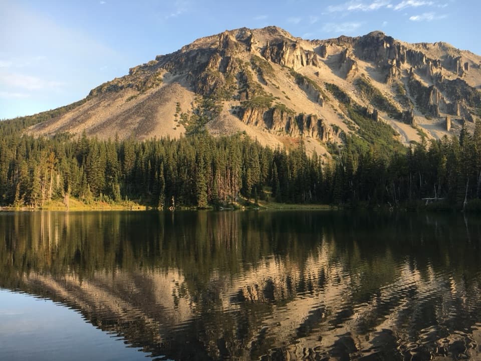 ChallengingNorthern Loop Trail36.5 mi · 4.5 days · 5.5 mi awayA rugged circuit through glacier valleys, high meadows, and deep forest.
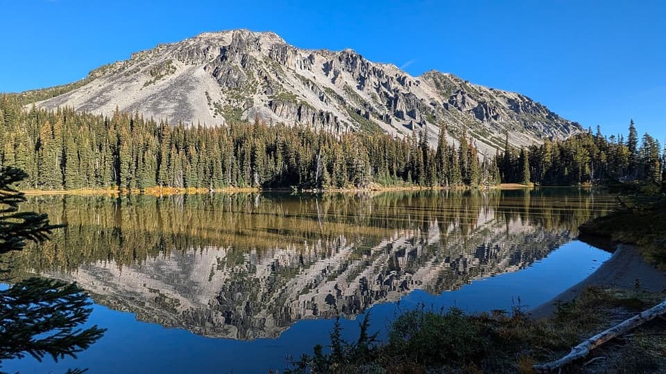 ChallengingMystic Lake Trail via Sunrise17.7 mi · 11 hr · 5.6 mi awayA long Wonderland walk to a lake between two glaciers.
 EasySunrise Nature Trail1.5 mi · 45 min · 5.6 mi awayA short climb buys Rainier and Cascade views in under an hour.
 ModerateMount Fremont Lookout Trail5.6 mi · 3.5 hr · 5.7 mi awayA rocky ridge climb to Rainier’s 1934 fire lookout.
 ModerateDege Peak via Sourdough Ridge Trail4.2 mi · 2.5 hr · 5.7 mi awayA short, open ridge walk to Dege Peak’s sweeping view.
 ModerateSkyscraper Pass Trail7.4 mi · 4.5 hr · 5.7 mi awayA rolling ridge walk to a sandy pass above alpine meadows.
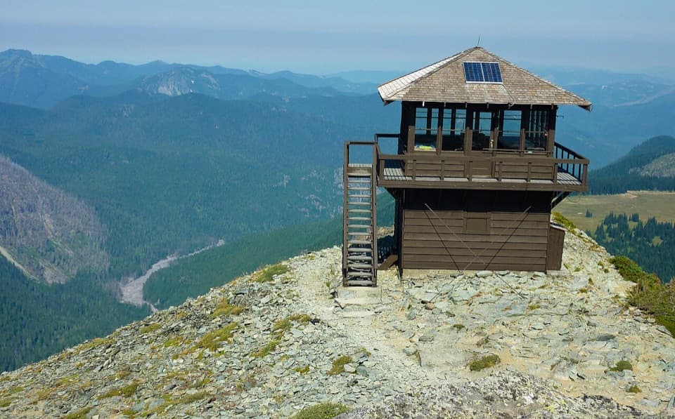 Sight · 4.6 mi awayMount Fremont Fire LookoutA long ridge hike to a 1934 wooden fire lookout.
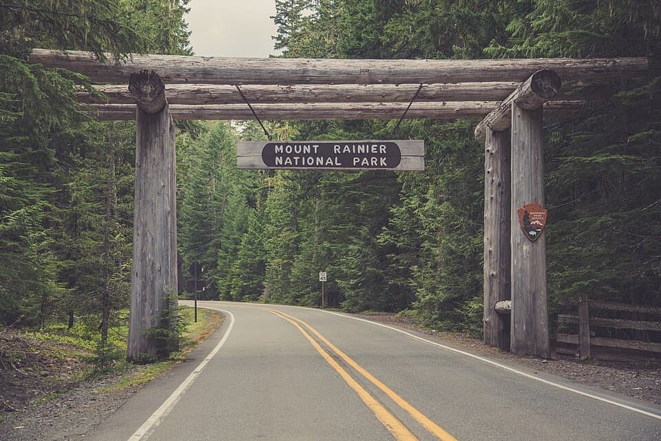 Sight · 5.1 mi awaySR 410 North Entrance ArchA cedar-log gateway on Rainier's northeast approach.
 Picnic area · 5.6 mi awaySunrise Picnic AreaPack a lunch for a tree-lined picnic with clear-day Rainier views.
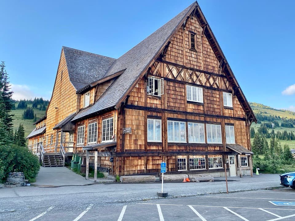 Food · 5.6 mi awaySunrise Day LodgeA 1931 timber lodge for coffee or ice cream after a hike.
 Visitor center · 5.7 mi awaySunrise Visitor CenterA historic alpine trail hub with glacier exhibits and Rainier views.
 Scenic pullout · 5.7 mi awaySunrise Road White River ViewRainier and Adams rise above the White River Valley on Sunrise Road.
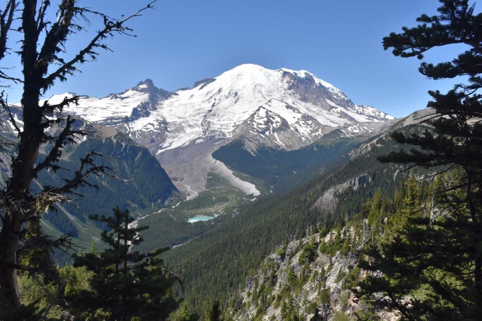 Sight · 5.8 mi awayEmmons Vista OverlooksA short meadow walk to Rainier’s biggest glacier.
 Sight · 6 mi awaySunrise Point OverlookA broad Cascade panorama from the bend of a lava ridge.
Parkwolf’s Mount Rainier ranking
The audio tour guide for the drive, plus offline maps, trails, and wildlife heatmaps for when the signal drops.




