Parking
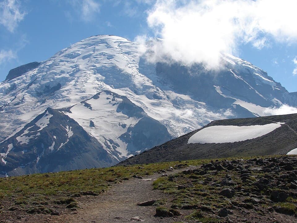
Use the corner viewpoint parking area at the hairpin on Sunrise Road. Cross the road by the kiosk to begin; this is separate from the main Sunrise Visitor Center lot.

Mount Rainier National Park, WA
A short lake walk with the steep climb on the way back.
Overview
Map & elevation
Plan your hike

The highest, rockiest slopes around here are a summer buffet for grizzly bears.
Mount Rainier Tour Guide
Parkwolf is a GPS audio tour guide for Mount Rainier National Park. As you drive, it chimes in with what’s ahead: hidden gems, upcoming stops, history, geology, and wildlife, right through your car’s speakers.
See the Mount Rainier audio tourRecorded for this trailhead
Sunrise Point: The Roadside Panorama“You're approaching Sunrise Point, the overlook at a sharp hairpin in the road.”
Plays as you drive up to this trailhead in the Parkwolf Mount Rainier Tour Guide.
More stories near here in the app
“Fantastic app with many points of information… It’s great to just turn on while you’re driving and it gives you an audio tour of the national Park. We love it!!!!”


Trail guide
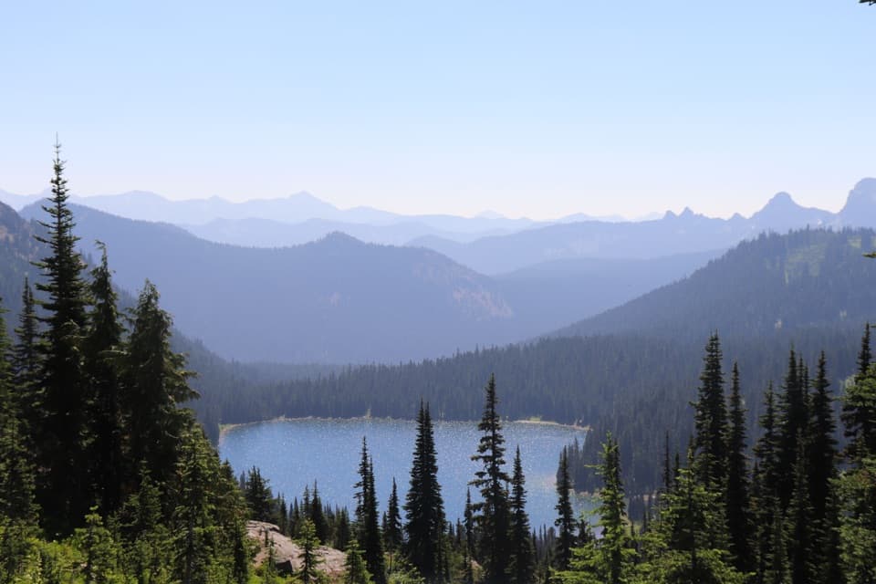
Sunrise Lake Trail is a 1.5-mile round trip from the hairpin viewpoint parking area at Sunrise Point. It follows the opening, steep section of the Palisades Lakes Trail to a signed spur and Sunrise Lake, then includes an informal footpath around much of the shore before returning the same way. It is a good low-commitment lake outing, but you climb the descent back to the car.
Cross Sunrise Road by the kiosk and follow the wide, soft trail downhill. A short talus stretch comes before the lake junction. The lake sits in a broad high-country valley below Dege Peak; the rough lakeside tread gives you a closer look at the water and its wooded shore. This short branch reaches Sunrise Lake, the first lake on the longer Palisades route.
Wildlife
 466 sightingsMountain GoatMost seen around 6 AMSighting map
 383 sightingsBlack BearMost seen around 7 PMSighting map
 10 sightingsWolverineMost seen around 6 AMSighting map
 58 sightingsElkMost seen around 6 AMSighting map
 574 sightingsMule DeerMost seen around 6 AMSighting map
 1,853 sightingsHoary MarmotMost seen around 6 AMSighting map
Sighting maps show where each species has been reported across Mount Rainier. Wildlife moves, so no sighting is guaranteed.
Keep exploring
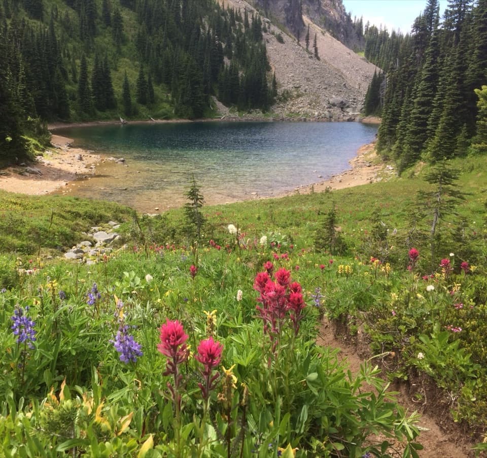 ChallengingPalisades Lakes Trail7 mi · 5 hr · At the trailheadSeven miles of alpine lakes, ending beneath the Palisades cliffs.
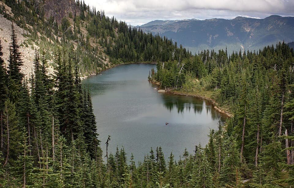 ModerateHidden Lake Spur Trail6.1 mi · 4 hr · At the trailheadAn alpine lake tucked beneath the Palisades, with a hard climb back.
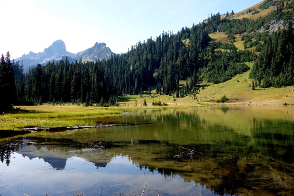 ModerateOwyhigh Lakes Trail7 mi · 4.5 hr · 1.9 mi awayA steady forest climb to lakes beneath a jagged ridge.
 ChallengingEastside Loop34.5 mi · 22 hr · 1.9 mi awayA long loop from deep forest to high alpine meadows.
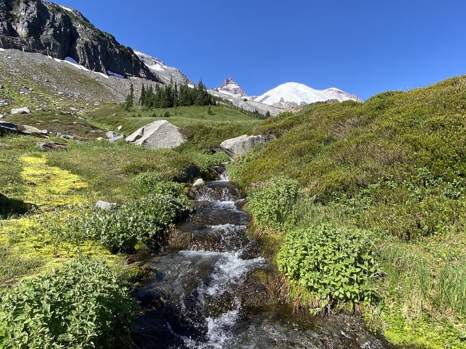 ModerateSummerland Trail8.4 mi · 4 hr · 2.3 mi awayWildflower meadows and Rainier views, after a long forest climb.
 ChallengingSummerland–Panhandle Gap Trail12 mi · 8 hr · 2.3 mi awayRainier falls away as meadow trails rise to a rocky alpine saddle.
 EasySilver Forest Trail1.9 mi · 1.3 hr · 2.6 mi awayTwo overlooks frame Rainier and Emmons Glacier above open meadows.
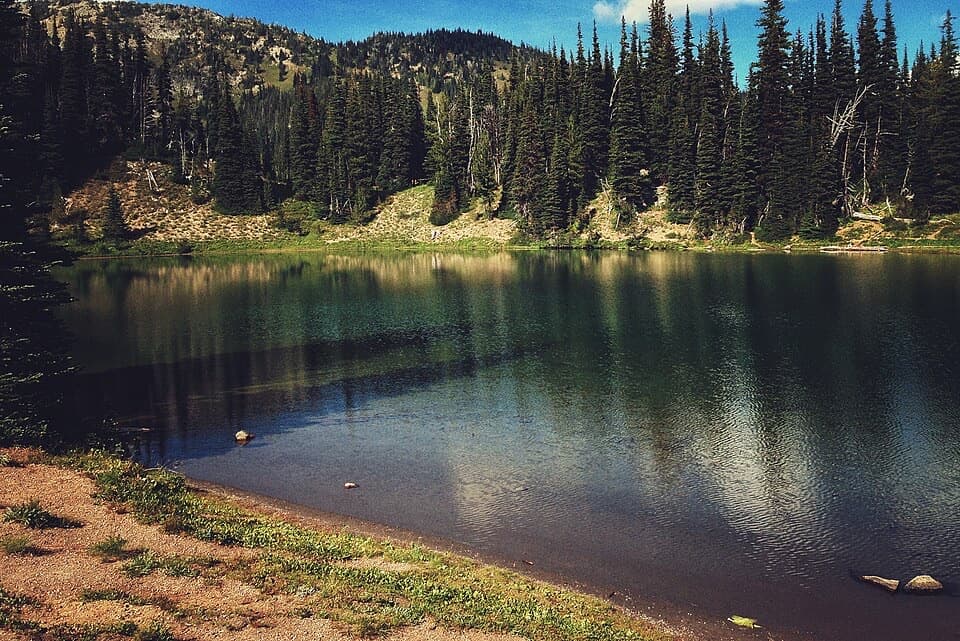 EasyShadow Lake Loop3 mi · 1.5 hr · 2.6 mi awayA short high-country loop reaches Shadow Lake through colorful meadows.
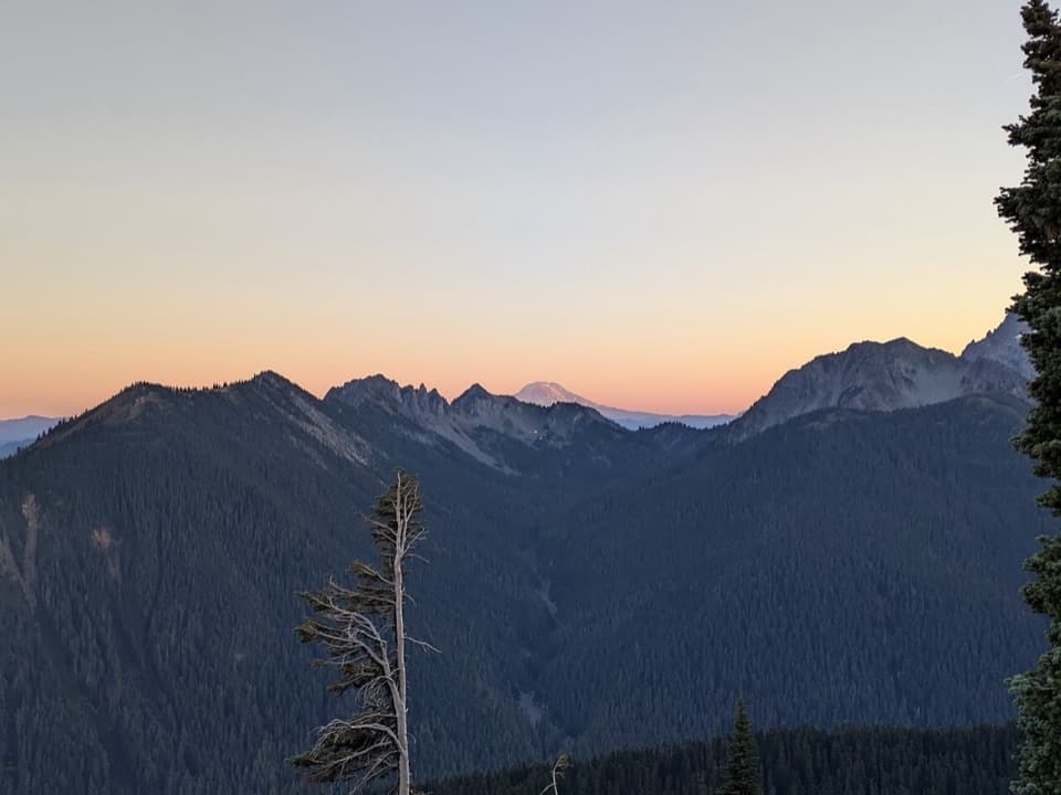 Sight · At the trailheadSunrise Point OverlookA broad Cascade panorama from the bend of a lava ridge.
 Sight · 0.8 mi awaySunrise Road Columnar Rock FormationA roadside close-up of ancient lava columns and a glacier-built ridge.
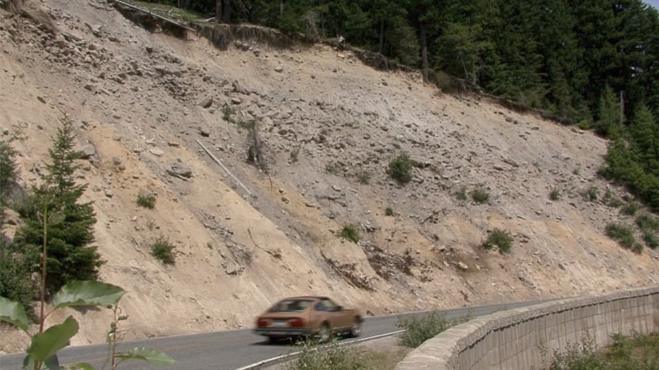 Scenic pullout · 0.9 mi awaySunrise Road PulloutA roadside geology stop for Rainier's volcanic layers and mudflow deposits.
 Scenic pullout · 1.8 mi awaySunrise Road White River ViewRainier and Adams rise above the White River Valley on Sunrise Road.
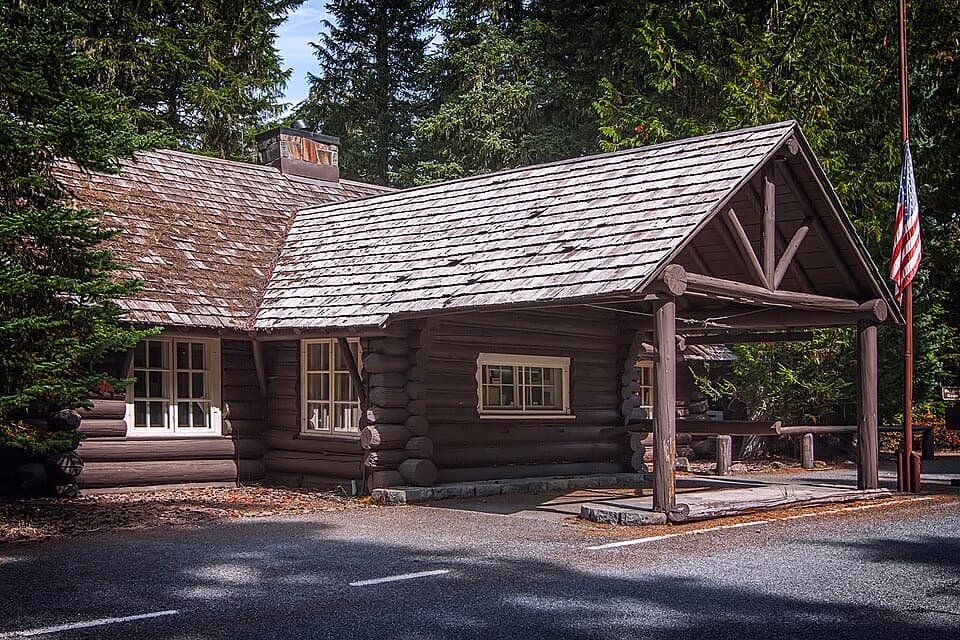 Visitor center · 1.9 mi awayWhite River Wilderness Information CenterGet permits, maps, and trail advice before heading toward Sunrise.
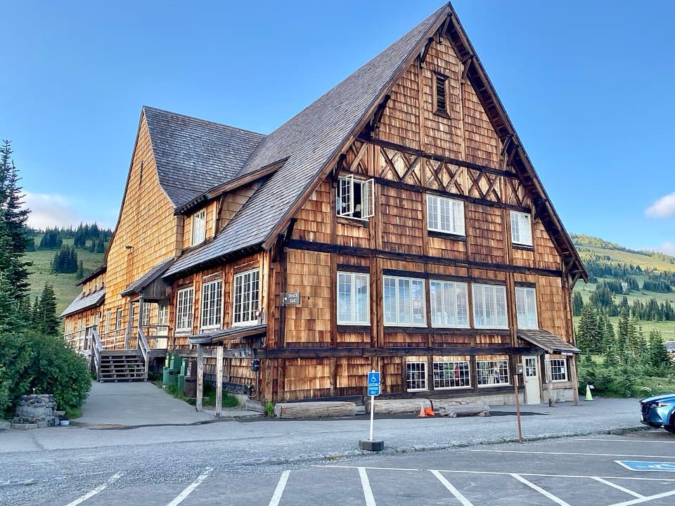 Food · 2.6 mi awaySunrise Day LodgeA 1931 timber lodge for coffee or ice cream after a hike.
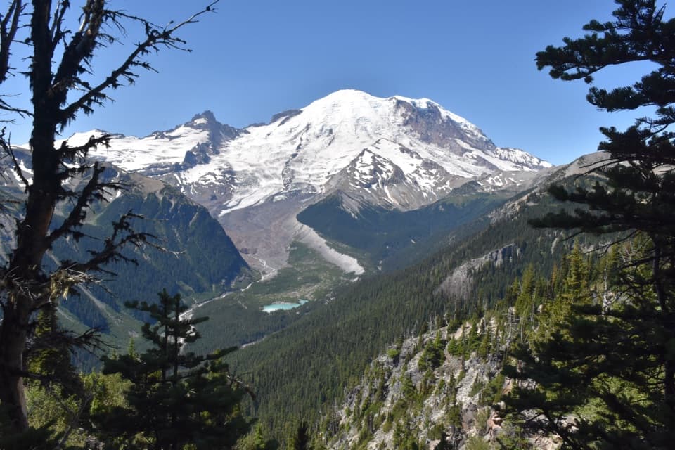 Sight · 2.6 mi awayEmmons Vista OverlooksA short meadow walk to Rainier’s biggest glacier.
 Visitor center · 2.6 mi awaySunrise Visitor CenterA historic alpine trail hub with glacier exhibits and Rainier views.
Parkwolf’s Mount Rainier ranking

The audio tour guide for the drive, plus offline maps, trails, and wildlife heatmaps for when the signal drops.