Parking
Start at Lakeside car park on Mount Robert Road. The route to Coldwater Hut is 8.2 km one way from here.

Nelson Lakes National Park, TM
A forested lakeshore walk to Coldwater Hut and its jetty.
Overview
A short side track leads to 40 m Whisky Falls if you want another stop. It isn’t included in the 8.2 km or in the mapped route. Take care around the falls, where rocks can be slippery.
 Parkwolf’s verdictA worthwhile detour
Map & elevation
Plan your hike

The highest, rockiest slopes around here are a summer buffet for grizzly bears.
Nelson Lakes Tour Guide
Parkwolf is a GPS audio tour guide for Nelson Lakes National Park. As you drive, it chimes in with what’s ahead: hidden gems, upcoming stops, history, geology, and wildlife, right through your car’s speakers.
Recorded for this trailhead
Lakeside Track to Whisky Falls“You're approaching Lakeside Track, the walking access to Whisky Falls.”
Plays as you drive up to this trailhead in the Parkwolf Nelson Lakes Tour Guide.
More stories near here in the app
“Fantastic app with many points of information… It’s great to just turn on while you’re driving and it gives you an audio tour of the national Park. We love it!!!!”


Trail guide
The Lakeside Track to Coldwater Hut is an 8.2 km (5.1 mile) point-to-point walk from Lakeside car park on Mount Robert Road to Coldwater Hut on Lake Rotoiti’s western shore. Allow about 2½ hours to the hut. This is a good route if you’re staying at the hut or arranging a water-taxi pick-up. Walking the same track back makes it 16.4 km (10.2 miles), about five hours of walking before stops.
From Mount Robert Road, the track drops through dense mānuka and kānuka before meeting the lake. It then follows the western shoreline through forested coves to the hut. Expect small stream crossings; recent rain can deepen them, so this easy-looking lakeside walk can still leave you with wet feet.
Coldwater is a standard 12-bunk hut with a jetty. Bring a sleeping bag, food and cooking gear. A DOC hut ticket is required, and booking arrangements can change, so check the current instructions before you plan around a bunk. Water taxis can pick up at the hut’s jetty; arrange that before you set out if you aren’t walking back. Dogs aren’t allowed on this route.
Wildlife
 20 sightingsNew Zealand FalconMost seen around 9 AMSighting map
 39 sightingsWekaMost seen around 7 AMSighting map
 11 sightingsKererūMost seen around 9 AMSighting map
 55 sightingsBlack SwanMost seen around 8 AMSighting map
 23 sightingsParadise ShelduckMost seen around 6 AMSighting map
 17 sightingsTūīMost seen around 7 AMSighting map
Sighting maps show where each species has been reported across Nelson Lakes. Wildlife moves, so no sighting is guaranteed.
Keep exploring
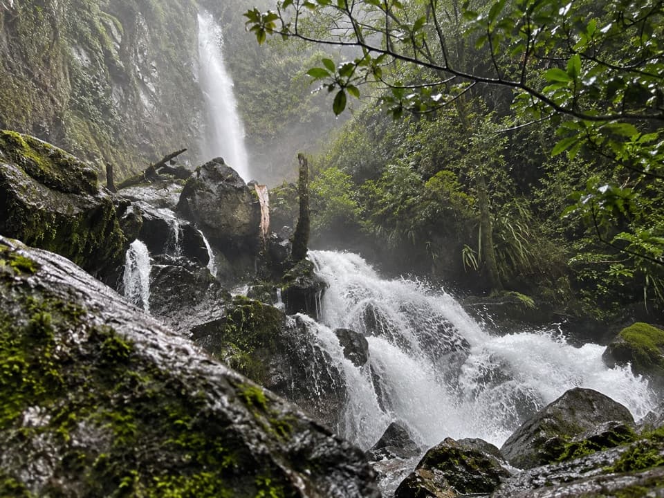 ModerateWhisky Falls via Lakeside Track10.8 km · 3.5 hr · At the trailheadA nearly 40 m waterfall wrapped in moss and ferns.
 ChallengingMount Robert Circuit9 km · 5 hr · 1.1 km awayA 9 km alpine loop with Lake Rotoiti views and steep climbing.
 ChallengingAngelus Hut via Pinchgut Track and Robert Ridge Route12.2 km · 6 hr · 1.1 km awayA long, exposed ridge walk to an alpine lakeside hut.
 ChallengingAngelus Hut Circuit via Robert Ridge and Speargrass Track23.4 km · 12 hr · 1.1 km awayAn exposed ridge to a glacial lake, then back by Speargrass Creek.
 ModerateSpeargrass Track to Speargrass Hut14.6 km · 6 hr · 1.1 km awayBeech forest gives way to a hut in a tussock clearing.
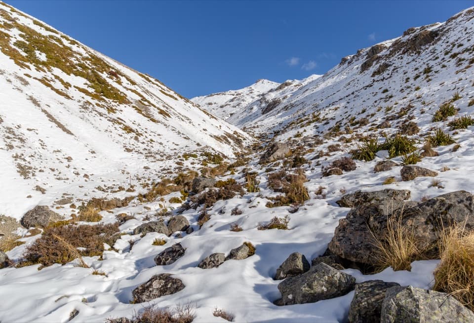 ChallengingAngelus Hut via Speargrass Track and Speargrass Creek Route11.2 km · 6 hr · 1.1 km awayA demanding creek route to a high alpine lake hut.
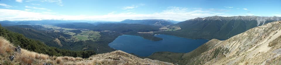 ChallengingMount Robert–Julius Summit15.6 km · 7.5 hr · 1.1 km awayA big climb for Lake Rotoiti views and a high, exposed ridge.
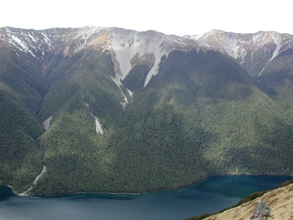 ChallengingBushline Hut via Paddy’s Track8.1 km · 4.5 hr · 1.1 km awayA steep climb to a high hut above Lake Rotoiti.
 Sight · 1.4 km awayLake Rotoiti ViewPinchgut climbs to a wide view of Lake Rotoiti’s two bays.
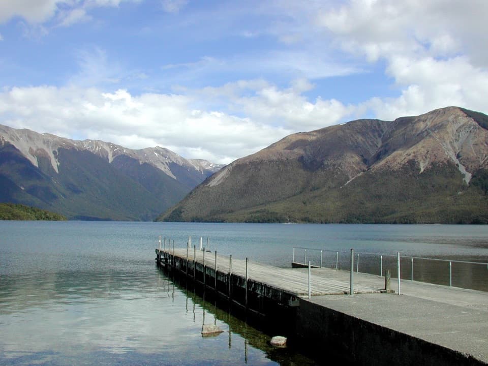 Sight · 1.8 km awayWest Bay, Lake RotoitiShort walks lead from lake views to glacier-shaped ponds.Campground · 2 km awayWest Bay CampsiteA quiet, tree-screened base beside Lake Rotoiti.
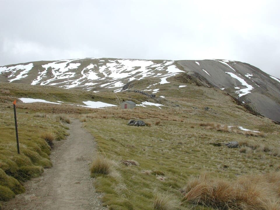 Sight · 2.6 km awayRelax ShelterA small ridge shelter reached above the bushline on Mount Robert.
 Sight · 2.7 km awayLake Rotoiti – Kerr Bay and JettyA mountain-framed jetty with eels beneath the water.
 Visitor center · 2.7 km awayNelson Lakes National Park Visitor CentreA good first stop for track advice, maps, and backcountry supplies.
 Campground · 2.8 km awayTeetotal CampsiteA quiet tent base beside Teetotal’s trails and winter skating pond.
 Sight · 2.8 km awayDuck PondA rare chance to skate on natural pond ice.
Parkwolf’s Nelson Lakes ranking
The audio tour guide for the drive, plus offline maps, trails, and wildlife heatmaps for when the signal drops.



