Parking
Tutaki Valley road end. A signed farm track leads across paddocks by stiles; confirm current access and parking instructions with DOC before setting out.

Nelson Lakes National Park, TM
A tough river traverse between Tutaki and D’Urville.
Overview
Map & elevation
Plan your hike

The highest, rockiest slopes around here are a summer buffet for grizzly bears.
Nelson Lakes Tour Guide
Parkwolf is a GPS audio tour guide for Nelson Lakes National Park. As you drive, it chimes in with what’s ahead: hidden gems, upcoming stops, history, geology, and wildlife, right through your car’s speakers.
“Fantastic app with many points of information… It’s great to just turn on while you’re driving and it gives you an audio tour of the national Park. We love it!!!!”


Trail guide
Tiraumea Track is a remote point-to-point tramp from the Tutaki Valley road end to D’Urville Hut, about 14 miles (23 km) one way. It follows the Tiraumea River upstream to Tiraumea Hut, climbs over Tiraumea Saddle, then drops toward the D’Urville River and hut. It’s a serious full-day undertaking for experienced trampers who are comfortable with repeated river crossings and route-finding. Allow around eight to nine hours if you walk it straight through; Tiraumea Hut, about 9 miles from the Tutaki end, is a practical overnight stop. Plan your exit from D’Urville Hut before you start.
The first access is a signed farm track from Tutaki Valley road end, then paddocks and stiles before the bush. Confirm the current entry instructions with DOC before setting out, since this approach crosses farmland. After a short marked bush section, the route follows the river upstream. Expect grassy flats, boggy cutty grass, scratchy scrub, and mossy, rooty beech forest rather than one continuous, easy-to-follow tread. Markers can be intermittent, especially through the middle third; a topo map helps you keep your bearings, but it may not show the exact footpath.
River fords shape the day. One low-flow trip counted about 43 crossings on the return and described water from shin to thigh depth for that hiker. Treat that as one trip’s conditions, not a fixed count or depth. The river has deep pools, and safe crossing points change with flow. Follow DOC’s river-safety advice: wait or turn back if a crossing isn’t safe.
Tiraumea Hut is a six-bunk standard hut in a clearing; the through-route continues from there over Tiraumea Saddle and down toward D’Urville Hut. DOC’s listed walking time from hut to hut is about 2½ hours. Don’t confuse this continuation with the separate Mole Saddle branch from Tiraumea Hut. Dog access for the whole route wasn’t confirmed, so check with DOC before bringing one.
Wildlife
 20 sightingsNew Zealand FalconMost seen around 9 AMSighting map
 39 sightingsWekaMost seen around 7 AMSighting map
 11 sightingsKererūMost seen around 9 AMSighting map
 55 sightingsBlack SwanMost seen around 8 AMSighting map
 23 sightingsParadise ShelduckMost seen around 6 AMSighting map
 17 sightingsTūīMost seen around 7 AMSighting map
Sighting maps show where each species has been reported across Nelson Lakes. Wildlife moves, so no sighting is guaranteed.
Keep exploring
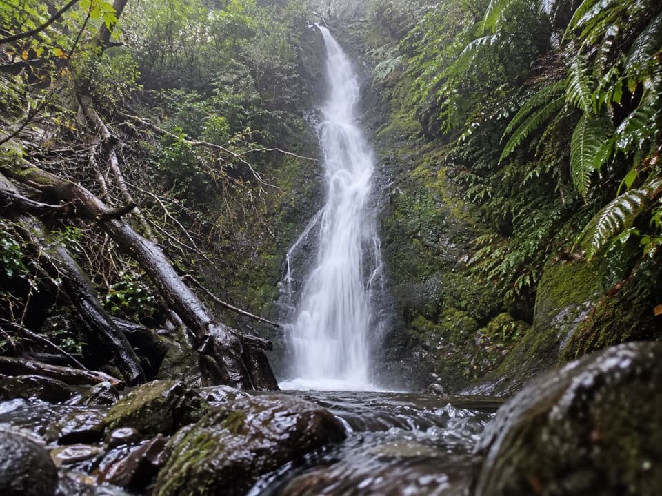 ModerateBraeburn Walk3.9 km · 2 hr · 9.9 km awayMossy falls at the end of an old forest road.
 EasyFlower Brothers Walk0.5 km · 15 min · 10.4 km awayA short lakeshore walk through kahikatea forest to the Gowan outlet.
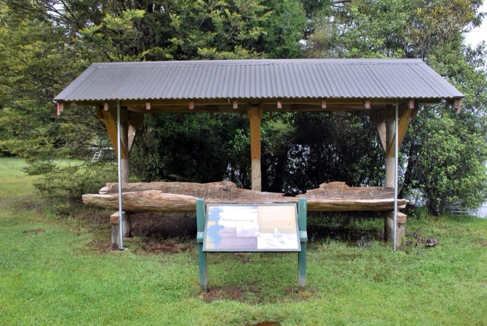 EasyLake Rotoroa Nature Walk1.3 km · 30 min · 10.5 km awayA fern-rich forest loop with quick glimpses of Lake Rotoroa
 ChallengingJameson Ridge Track13.8 km · 5.5 hr · 14.7 km awayA forest climb to an open ridge above Mole Stream.ModerateMole–Jamieson Loop15.4 km · 6.5 hr · 14.8 km awayA creek-and-ridge circuit to open views at Mole Saddle.
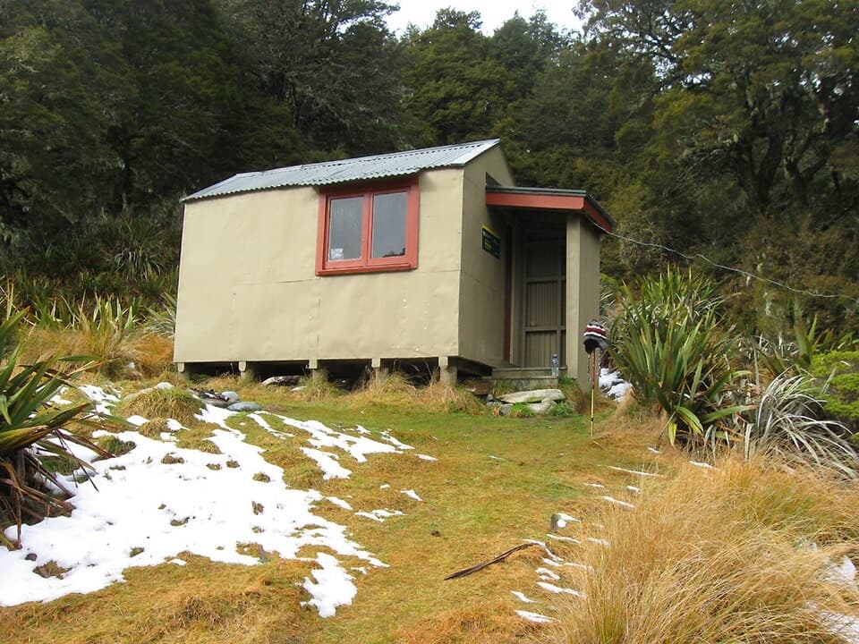 ModerateMole Stream Track to Mole Hut13.5 km · 6.5 hr · 14.9 km awayA rough riverside approach to Mole Hut at the bush edge.
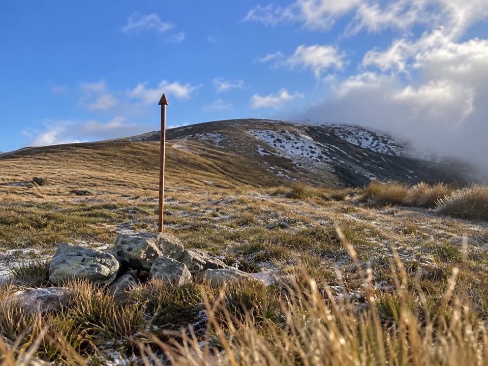 ChallengingMole Saddle–Tiraumea Track5.8 km · 4 hr · 15 km awayAn undulating ridge walk down to a backcountry hut.
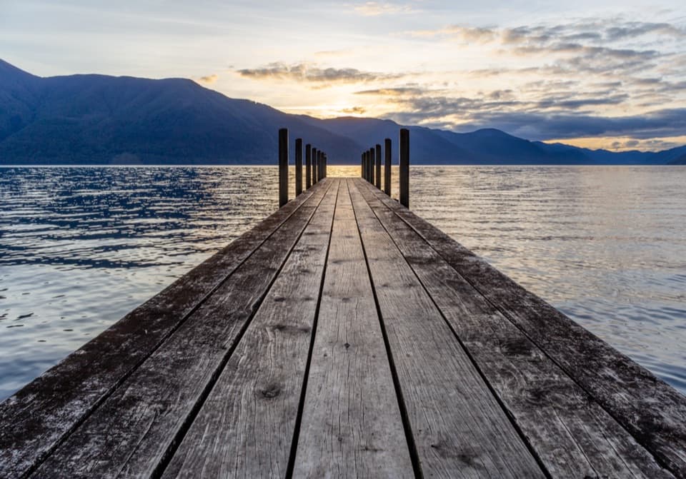 ModerateD’Urville–Sabine Track7.9 km · 2 hr · 15.3 km awayA remote 4.9-mile hut link with a serious stream crossing.
 Sight · 9.9 km awayBraeburn FallsTake the steep forest spur to a mossy waterfall.
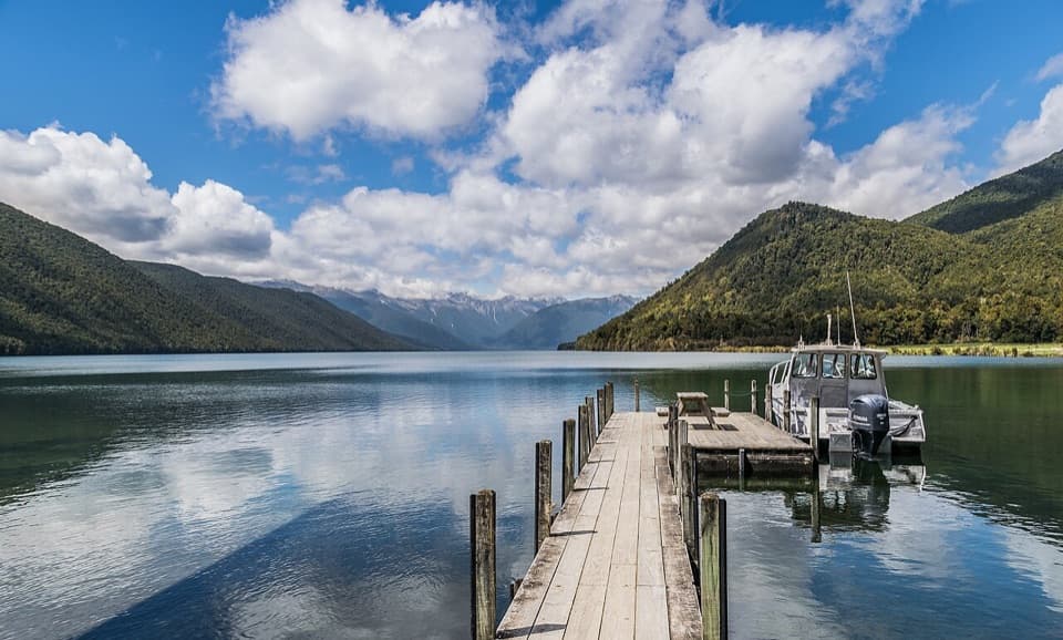 Sight · 10.6 km awayLake Rotoroa – Foreshore and JettyJetty, boat ramp and glacier-carved lake, all at the road’s end.
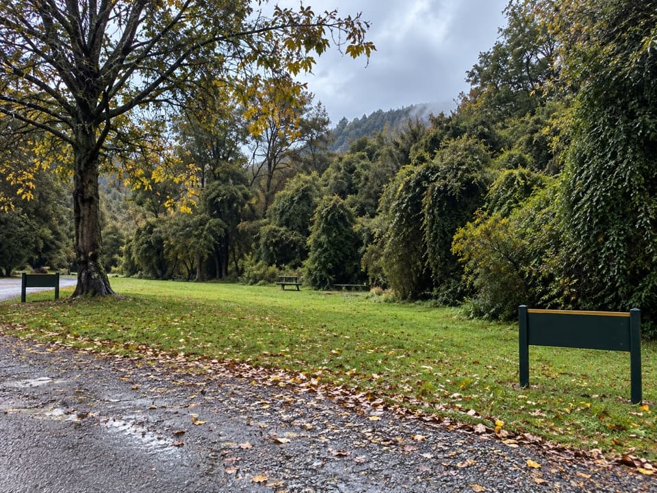 Campground · 10.6 km awayLake Rotoroa CampsiteA simple tent camp for lake days and forest walks.
 Lodging · 11.2 km awayTiraumea HutA six-bunk hut for a remote, river-crossing backcountry trip.
 Lodging · 15.3 km awayD'Urville HutA 10-bunk lakeside hut with a jetty for boats and kayaks.Lodging · 15.5 km awayMole HutFour bunks put you within reach of a tarn-dotted ridge.
Parkwolf’s Nelson Lakes ranking

The audio tour guide for the drive, plus offline maps, trails, and wildlife heatmaps for when the signal drops.





