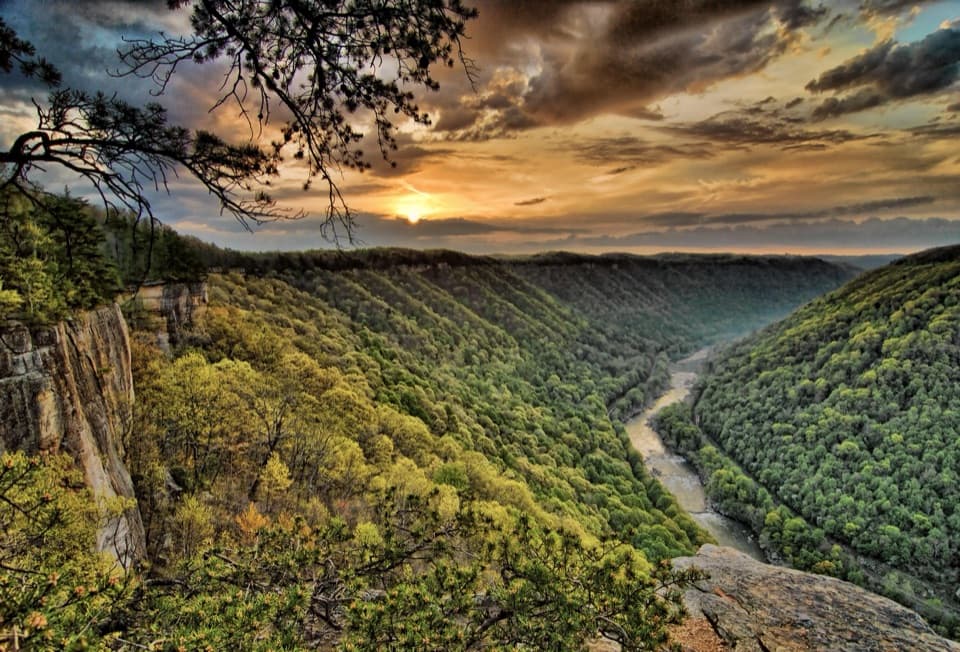
Army Camp Campground in New River Gorge National Park

Campground · New River Gorge National Park

Army Camp Campground

Free, primitive camping where the New River loops around.

Photo: National Park Service
Type
Campground
Nearest trail
1.1 mi
Audio stories
4 nearby
  • Restrooms
  • Parking
  • Picnic tables

Hear the audio tour

Army Camp and the Floating Bridges

Overview

About Army Camp Campground

Why stop

  • Free camping in a quiet bend with separate river access.

Heads up

  • No drinking water or hookups; the unmarked dirt-road approach is narrow and winding.

Map

Where it is

Loading the New River Gorge map
Full map
CampgroundArmy Camp Campground37.85814, -81.09903
Keep this map with you offline in the Parkwolf app

Plan your stop

Before you go

5 active New River Gorge alerts

  • ClosureRend and Church Loop trails closedRend Trail is closed from both trailheads through approximately December 2027; Church Loop Trail is also closed because its only access is from Rend.Official details
  • ClosureKaymoor Miners Trail weekday closureThe upper Kaymoor Miners Trail is closed Monday–Thursday through November 19 for trail rehabilitation.Official details
See all 5 alerts
A park ranger sits on a dash-mounted phone, talking, as Parkwolf’s Tour Guide plays “Army Cutworm Moths: A Grizzly Bear Buffet” on Grand Loop Road below Dunraven Pass in Yellowstone
Parkwolf Tour GuideThe highest, rockiest slopes around here are a summer buffet for grizzly bears.

New River Gorge Tour Guide

Your drive to Army Camp Campground, narrated.

Parkwolf is a GPS audio tour guide for New River Gorge National Park. As you drive, it chimes in with what’s ahead: hidden gems, upcoming stops, history, geology, and wildlife, right through your car’s speakers.

See the New River Gorge audio tour

Recorded for this place

Army Camp and the Floating Bridges
0:00 / 0:31
“You're nearing Army Camp Campground, tucked into a tight bend of the New River.”

Plays as you drive up to Army Camp Campground in the Parkwolf New River Gorge Tour Guide.

More stories near here in the app

  • McCreery River Access
  • The Woodrat’s Rocky Pantry
  • Commuting in a Coal Bucket
  • Turkey Spur's Wooden Platforms
  • 92 audio storiesacross New River Gorge’s roads, triggered by GPS as you drive
  • Wildlife heatmapsfor Black Bear, White-tailed Deer, Pileated Woodpecker, and 13 more
  • Works offlinemaps, 49 trails, 55 places, and audio download before you lose signal
  • CarPlay readysimple controls built for the drive
★★★★★
“Fantastic app with many points of information… It’s great to just turn on while you’re driving and it gives you an audio tour of the national Park. We love it!!!!”
JMJamesApp Store review
Download Parkwolf on the App StoreGet Parkwolf on Google Play

4.7 from 8,600+ ratings

Guide

More about Army Camp Campground

A quiet camp in a tight bendArmy Camp Campground is an 11-site primitive campground and day-use area tucked into a tight…

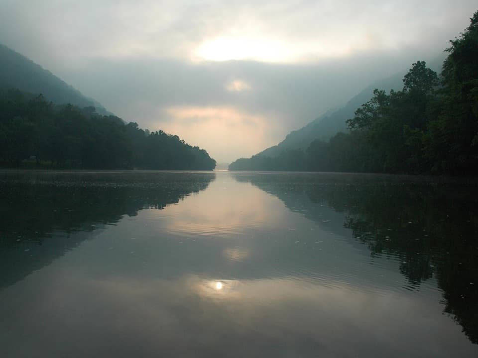
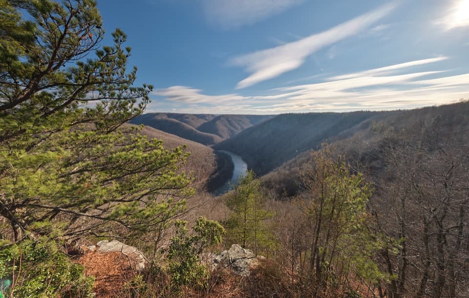
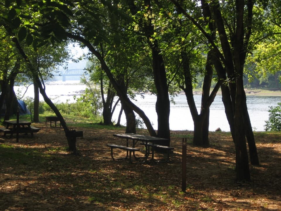
Army Camp Campground is an 11-site primitive campground and day-use area tucked into a tight bend of the New River. It suits campers after a simple, free base and a quiet stretch by the river; the individual pads are set back from the water, with a separate sandy river edge nearby. Sites are first come, first served, with no reservations.

Come preparedThe approach is an unmarked dirt road off Route 41 near Prince.

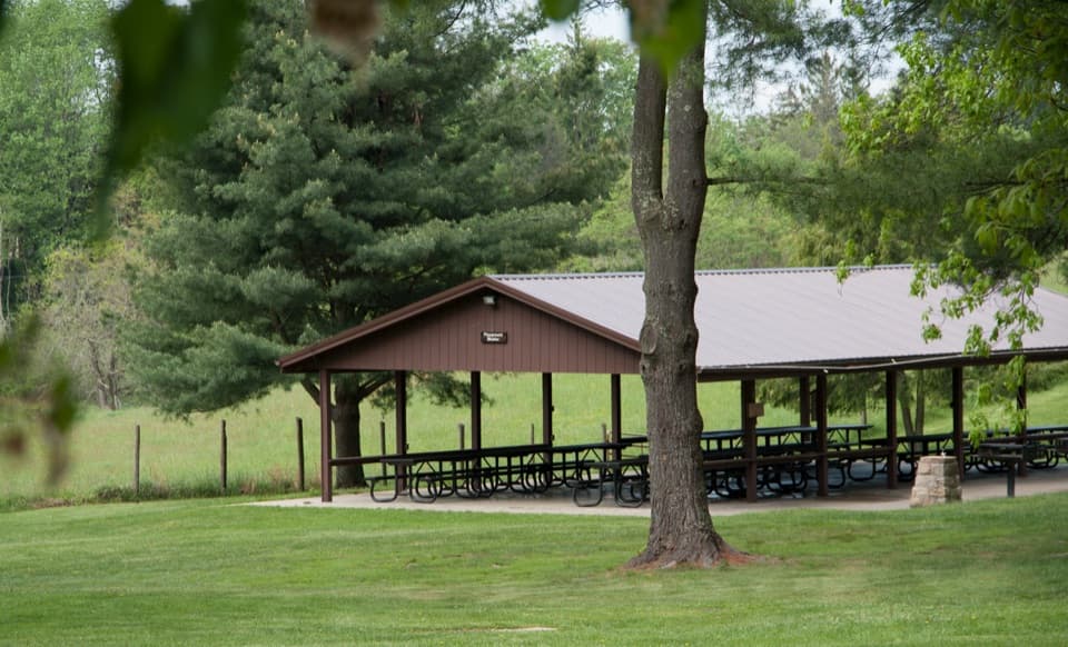
The approach is an unmarked dirt road off Route 41 near Prince. Several visitors describe it as narrow and winding, so take it slowly. Bring drinking water, food, and supplies: there is no potable water, electricity, hookups, shower, or camp store, and markets are several miles away. Sites have composting toilets, picnic tables, and fire rings with grills; there is also a shaded day-use picnic area. One campsite and the composting restroom are listed as accessible. The river has powerful currents, rocky banks, shoals, and sudden drop-offs, so the park strongly discourages swimming.

A former Army bridge campThis flat river bottom was farmland before the Army chose it for floating-bridge training…

This flat river bottom was farmland before the Army chose it for floating-bridge training around 1950. The 1428th Engineer Float Bridge Company practiced assembling bridges to move equipment and soldiers across streams; usually 100 to 150 troops stayed here for six- to eight-week sessions. Training ended in 1957 and the camp closed in the early 1960s. Foundations and concrete floors from 11 buildings, plus a concrete water tank, remain. The New River bends west, north, and east within about half a mile here, giving the campground its distinctive setting.

Wildlife

Wildlife in New River Gorge

All New River Gorge wildlife maps

Sighting maps show where each species has been reported across New River Gorge. Wildlife moves, so no sighting is guaranteed.

Keep exploring

Near Army Camp Campground

See it all on the map

Trails nearby

More stops nearby

Parkwolf’s New River Gorge ranking

Top sights in New River Gorge

All 55 places
  1. 1New River Gorge BridgeSight
  2. 2Sandstone FallsSight
  3. 3Grandview Main OverlookSight
  4. 4Diamond Point OverlookSight
  5. 5Long Point OverlookSight
  6. 6Nuttallburg Historic SiteSight

Take Parkwolf to New River Gorge.

The audio tour guide for the drive, plus offline maps, trails, and wildlife heatmaps for when the signal drops.

4.7 from 8,600+ ratings

Download Parkwolf on the App StoreGet Parkwolf on Google Play