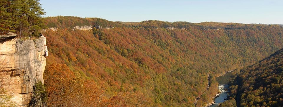
Terry Top Trail in New River Gorge National Park

New River Gorge National Park, WV

Terry Top Trail

A quiet ridge walk ending at a nineteenth-century family cemetery.

Length
3.4mi
Time
2hr
Elev. change
325ft
Difficulty
Moderate
  • Dogs allowed
  • High point 2,444 ft

Hear the audio tour

Army Camp and the Floating Bridges

Overview

About Terry Top Trail

Why go

  • A quiet woods-to-ridge walk with a cemetery at the end.

Heads up

  • One steeper stretch and no published parking capacity at the gate.

Map & elevation

The route

Loading the New River Gorge map
Full map
Elevation2,119–2,444 ft
TrailheadTerry Top Trailhead, Mill Creek Road gate37.86797, -81.08233
Keep this map with you offline in the Parkwolf app

Plan your hike

Before you go

Parking

The trail starts at a gate on Mill Creek Road about 0.4 miles inside the park boundary. Local directions describe room to park beside it, but no formal lot size or capacity is published. No restroom or drinking water is reported at this trailhead.

Safety

One section is steeper than the rest. There is no drinking water at trailheads, so carry your own.

5 active New River Gorge alerts

  • ClosureRend and Church Loop trails closedRend Trail is closed from both trailheads through approximately December 2027; Church Loop Trail is also closed because its only access is from Rend.Official details
  • ClosureKaymoor Miners Trail weekday closureThe upper Kaymoor Miners Trail is closed Monday–Thursday through November 19 for trail rehabilitation.Official details
See all 5 alerts
A park ranger sits on a dash-mounted phone, talking, as Parkwolf’s Tour Guide plays “Army Cutworm Moths: A Grizzly Bear Buffet” on Grand Loop Road below Dunraven Pass in Yellowstone
Parkwolf Tour GuideThe highest, rockiest slopes around here are a summer buffet for grizzly bears.

New River Gorge Tour Guide

Your drive to Terry Top Trail, narrated.

Parkwolf is a GPS audio tour guide for New River Gorge National Park. As you drive, it chimes in with what’s ahead: hidden gems, upcoming stops, history, geology, and wildlife, right through your car’s speakers.

See the New River Gorge audio tour

Recorded for this area

Army Camp and the Floating Bridges
0:00 / 0:31
“You're nearing Army Camp Campground, tucked into a tight bend of the New River.”

Plays on the road 1.1 mi from the trailhead in the Parkwolf New River Gorge Tour Guide.

More stories near here in the app

  • Commuting in a Coal Bucket
  • McCreery River Access
  • Turkey Spur's Wooden Platforms
  • Grandview Sandbar by the River
  • 92 audio storiesacross New River Gorge’s roads, triggered by GPS as you drive
  • Wildlife heatmapsfor Black Bear, White-tailed Deer, Pileated Woodpecker, and 13 more
  • Works offlinemaps, 49 trails, 55 places, and audio download before you lose signal
  • CarPlay readysimple controls built for the drive
★★★★★
“Fantastic app with many points of information… It’s great to just turn on while you’re driving and it gives you an audio tour of the national Park. We love it!!!!”
JMJamesApp Store review
Download Parkwolf on the App StoreGet Parkwolf on Google Play

4.7 from 8,600+ ratings

Trail guide

Hiking Terry Top Trail

The walkTerry Top Trail is a 3.

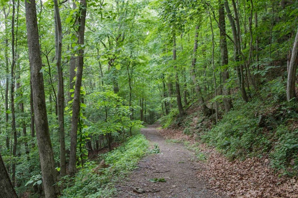
Terry Top Trail is a 3.4-mile out-and-back from a gate off Mill Creek Road to a nineteenth-century family cemetery. It drops through dense forest, opens onto a ridge where the New River Gorge comes into view, passes a vernal pool, and returns along the same corridor. Allow about two hours. This is a quiet walk for people who like a wooded route with a modest historical endpoint. It is moderate, with one steeper stretch.

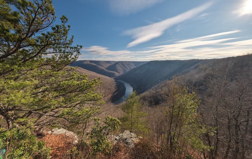
Where the gorge appearsThe first stretch descends through thick woods before the ridgeline opens.

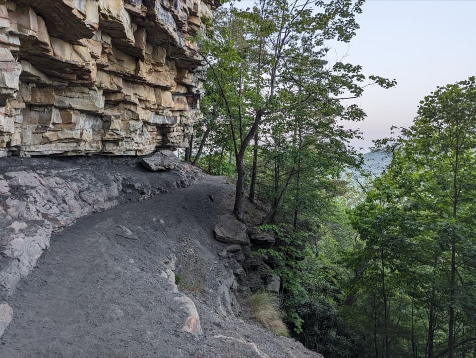
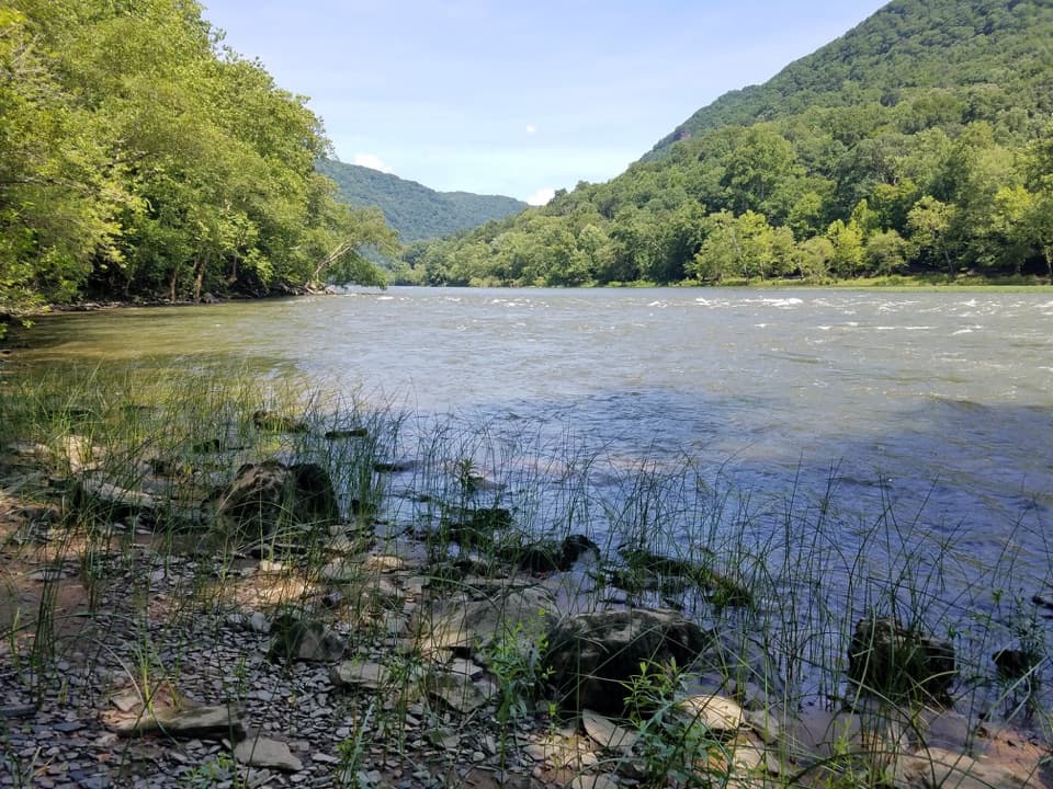
The first stretch descends through thick woods before the ridgeline opens. The broad, well-defined track continues through more open meadow-like ground, with the pool and cemetery farther along. The gorge first appears at the ridge; leaving trees at the edge of a photo helps show how the walk moves from forest into open country.

The cemetery at the endThe walk ends at a family cemetery described as dating to the nineteenth century.

The walk ends at a family cemetery described as dating to the nineteenth century. Yucca plants have been reported among the graves, but their proposed use as grave markers is unverified, and the family’s identity and history were not established. The cemetery is the endpoint; its family history and the story behind the planting have not been established.

Starting at Mill Creek RoadUse the gate on Mill Creek Road about 0.

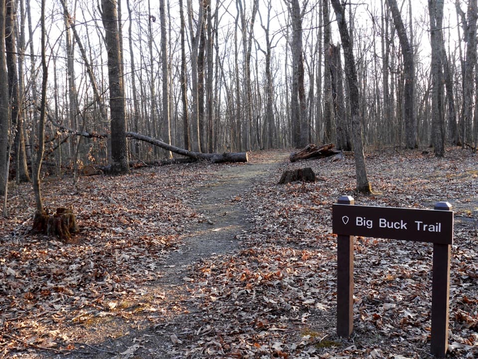
Use the gate on Mill Creek Road about 0.4 miles inside the park boundary; it is also the return point. Directions describe room to park beside the gate, but not a formal lot or capacity. There are no restrooms at the gate and no drinking water at the trailhead; bring what you need. Dogs are allowed on park trails on a physical leash no longer than six feet; bring water for yourself and your dog.

Wildlife

Wildlife in New River Gorge

All New River Gorge wildlife maps

Sighting maps show where each species has been reported across New River Gorge. Wildlife moves, so no sighting is guaranteed.

Keep exploring

Near Terry Top Trail

See it all on the map

Trails that start nearby

Places near the trailhead

Parkwolf’s New River Gorge ranking

Top-rated trails in New River Gorge

All 49 trails
  1. 1Endless Wall TrailModerate · 2.4 mi
  2. 2Long Point TrailModerate · 3.2 mi
  3. 3Grandview Rim TrailModerate · 3.2 mi
  4. 4Sandstone Falls BoardwalkEasy · 0.5 mi
  5. 5Castle Rock TrailChallenging · 0.6 mi
  6. 6Grandview Rim LoopModerate · 3 mi

Take Parkwolf to New River Gorge.

The audio tour guide for the drive, plus offline maps, trails, and wildlife heatmaps for when the signal drops.

4.7 from 8,600+ ratings

Download Parkwolf on the App StoreGet Parkwolf on Google Play