Parking
Use the Glade Creek Grist Mill or Administration Building lot. From the mill lot, follow the paved cabin-access road about half a mile to the gate below Cabin 13, the official trailhead.
New River Gorge National Park, WV
Boiler and falls reward a long walk on an old rail grade.
Overview
Map & elevation
Plan your hike

The highest, rockiest slopes around here are a summer buffet for grizzly bears.
New River Gorge Tour Guide
Parkwolf is a GPS audio tour guide for New River Gorge National Park. As you drive, it chimes in with what’s ahead: hidden gems, upcoming stops, history, geology, and wildlife, right through your car’s speakers.
See the New River Gorge audio tourMore stories near here in the app
“Fantastic app with many points of information… It’s great to just turn on while you’re driving and it gives you an audio tour of the national Park. We love it!!!!”


Trail guide
Old Sewell is a 9-mile out-and-back on a former narrow-gauge rail grade, from the gate below Cabin 13 to the trail’s signed end near the New River Gorge boundary. It runs through wooded, rugged Babcock country toward the river, then you return on the same route. Allow about five hours for the hike; the half-mile paved approach from the Grist Mill lot is extra.
The park’s current trail page lists 9 miles, which fits a 4.46-mile mapped corridor walked out and back. Its 2024 trail map instead gives 5.5 miles one way. That difference is unresolved. I’d use 11 miles as the conservative trail-distance plan until you confirm the current signed mileage at the gate; the 9-mile field value reflects the measured corridor and current listing.
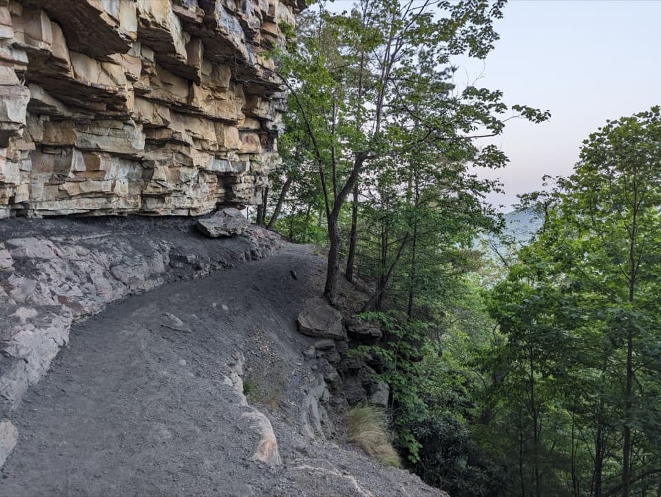
The trail is a crushed-rock surface on the old railroad grade. The way out is a gradual descent; the return is a long, gradual climb. The route is rated moderate, and a published trail account counts 12 benches along it. No water refill point is documented on the route, so plan to carry what you need for the full walk.
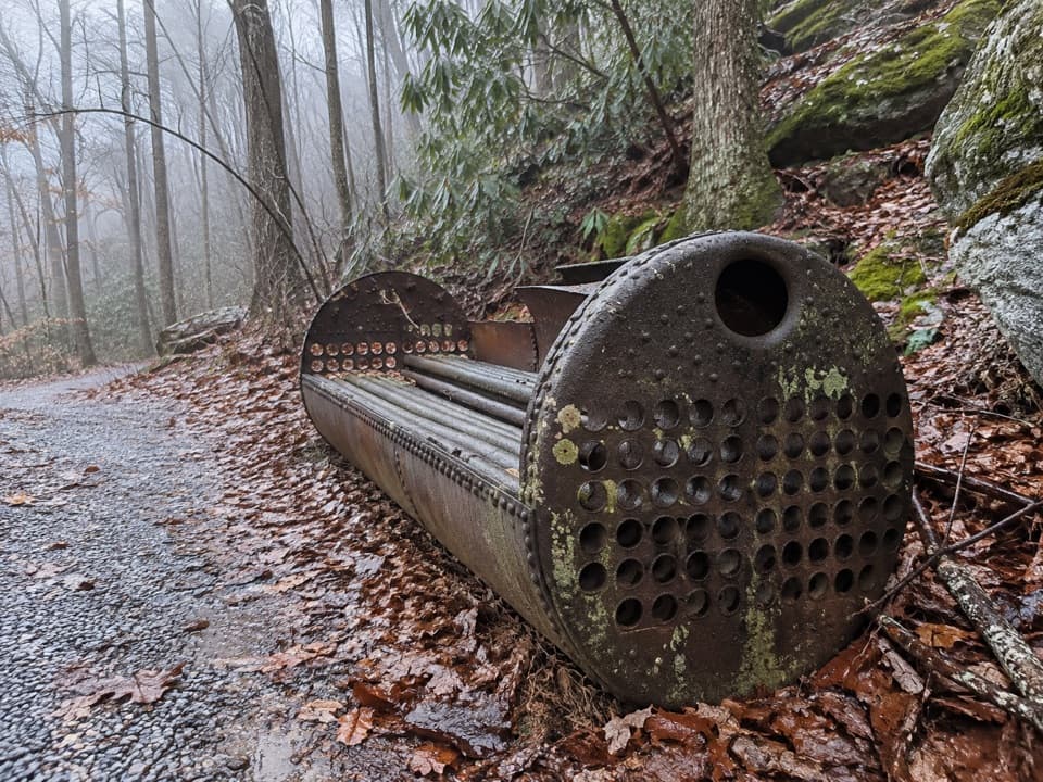
A century-old boiler sits beside the trail near a bridge over Flanagan’s Branch and a small waterfall. The bridge reuses stone supports from an earlier railroad trestle. This is the best place to stop for a closer look; frame the boiler with the water and stonework if you want a photo that tells the story of the route. Accounts disagree about the boiler’s first job: a site sign says it powered a locomotive, while a railroad history describes it first serving a sawmill and later becoming a water tank for Shay locomotives.
The three-foot-gauge Manns Creek Railroad opened in 1886 to move coal from the Clifftop area to Sewell, where the coal was turned into coke. Sewell had more than 300 residents in the early 1900s, and coke production continued there until 1956. The signed Old Sewell route ends before the townsite; the old grade continues beyond it, but that continuation is rough and brushy and is not included in this mapped hike. Do not enter active CSX railroad property or remove artifacts.
Use the Glade Creek Grist Mill or Administration Building parking lot. From the mill lot, follow the paved cabin-access road about half a mile to the official trail gate below Cabin 13. The gristmill is a separate stop by the access road. Dogs are allowed; keep them leashed, with a physical leash no longer than six feet in the National Park portion.
Wildlife
 18 sightingsBlack BearMost seen around 7 PMSighting map
 126 sightingsWhite-tailed DeerMost seen around 6 AMSighting map
 25 sightingsPileated WoodpeckerMost seen around 8 AMSighting map
 15 sightingsBarred OwlMost seen around 7 PMSighting map
 14 sightingsWild TurkeyMost seen around 6 AMSighting map
 58 sightingsCopperheadMost seen around 7 PMSighting map
Sighting maps show where each species has been reported across New River Gorge. Wildlife moves, so no sighting is guaranteed.
Keep exploring
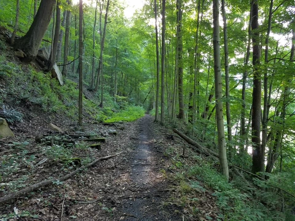 ModerateSouthside Trail14 mi · 5.5 hr · 4.1 mi awayA long river rail grade past abandoned coal towns
 ModerateBrooklyn Mine Trail5.4 mi · 3.3 hr · 4.7 mi awayA shaded old road leads to the ruins of a coal mine.
 ModerateBeauty Mountain Trail1.1 mi · 45 min · 5.9 mi awayA short ridge walk opens onto wide views over the New River.
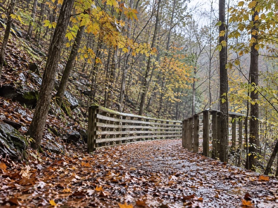 EasyKeeneys Creek Rail Trail3.3 mi · 1.5 hr · 6.2 mi awayA gentle rail grade through mining country, creek views, and trestles.
 ModerateNuttallburg Loop2.5 mi · 2 hr · 6.2 mi awayA short coal-town loop past coke ovens and a towering tipple.
 EasyTipple Trail1.2 mi · 1 hr · 6.7 mi awayA short walk past the conveyor to the tipple and coke ovens.
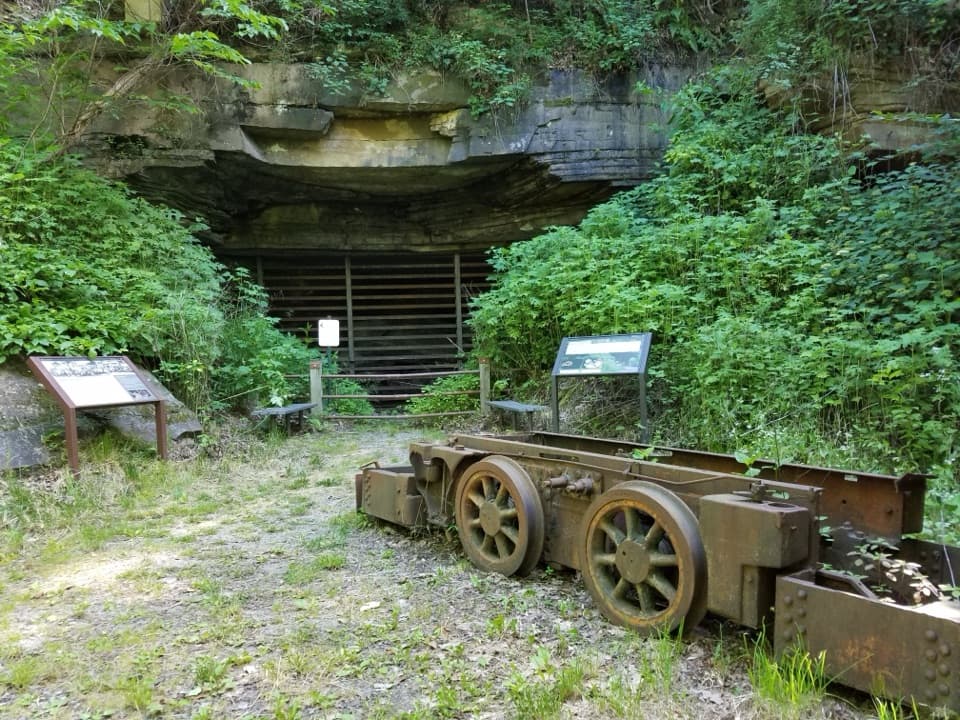 ModerateHeadhouse Trail1.4 mi · 1.5 hr · 6.9 mi awayA short, steep descent to a remarkably intact coal-mine complex.
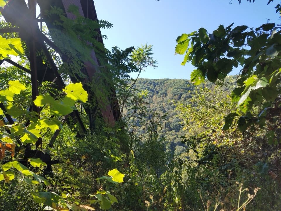 ChallengingConveyor Trail0.8 mi · 1.3 hr · 6.9 mi awayA short, steep climb under Nuttallburg's old coal conveyor.
 Sight · 2 mi awayCamp Washington-CarverA pioneering Black 4-H camp with a second life in the arts.
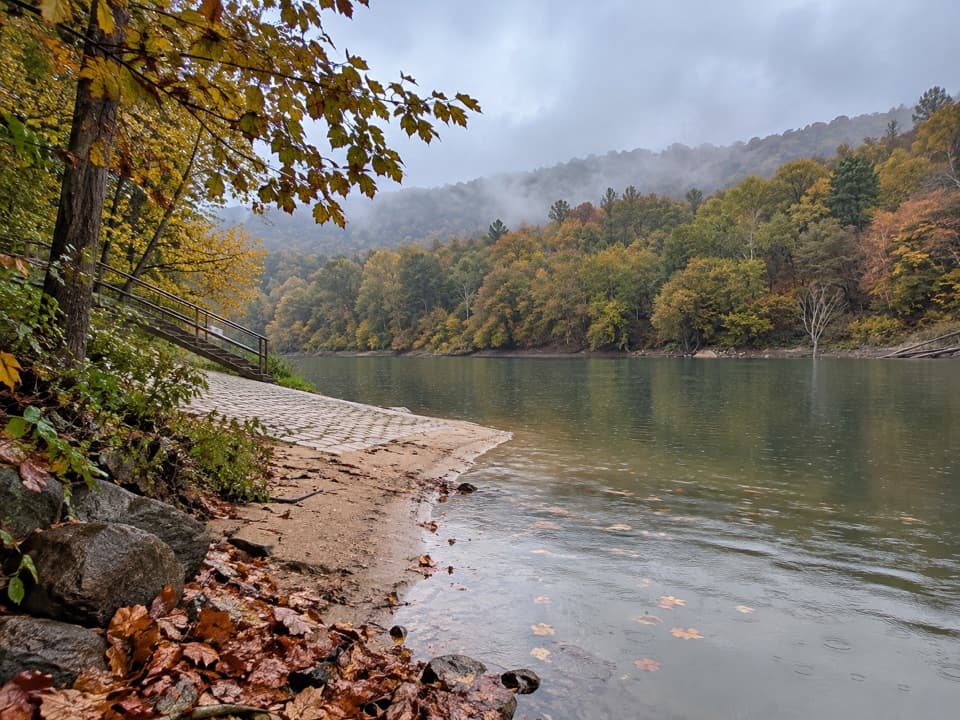 Sight · 4.1 mi awayCunard River AccessA river put-in beside a trail through former mining towns.
 Sight · 4.2 mi awayRed Ash Island CemeteryA wooded island cemetery ties miners’ losses to everyday community life.
 Campground · 4.2 mi awayBrooklyn CampgroundFive tent sites beside the New River and Southside Trail.
 Sight · 4.3 mi awayBrooklyn Mining Complex & Community RuinsA 1890s coal camp left a ruined tipple and coke ovens.
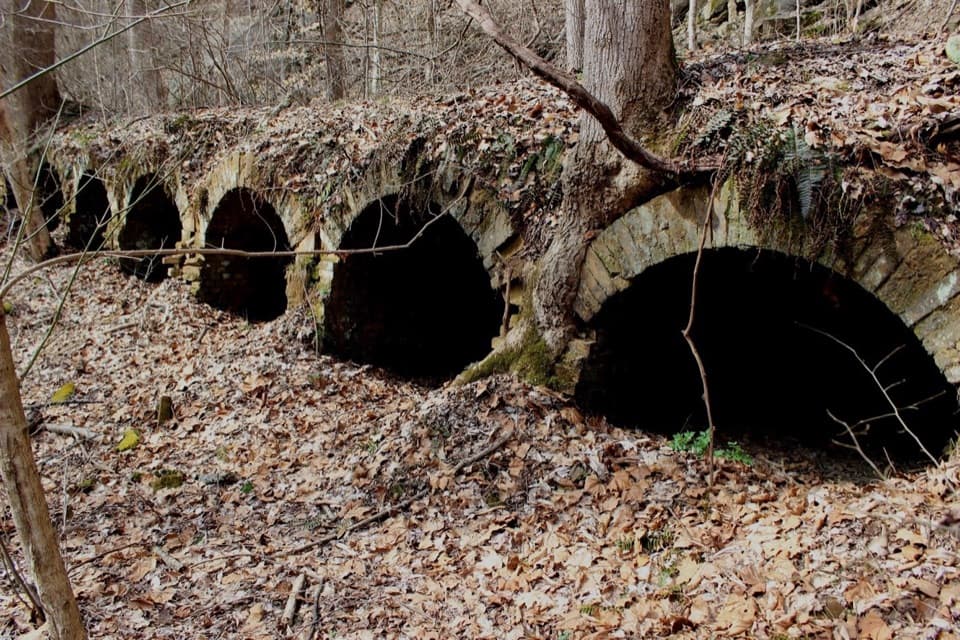 Sight · 5.6 mi awayRed Ash Community and Mining RuinsSee an unusual bread-loaf coke-oven design on the Southside Trail.
 Sight · 6.4 mi awayRush Run Community RuinsA vanished coal town, with beehive ovens still by the trail.Sight · 6.7 mi awayNuttallburg Historic SiteA preserved coal town with a rust-red tipple and a tricky drive.
Parkwolf’s New River Gorge ranking

The audio tour guide for the drive, plus offline maps, trails, and wildlife heatmaps for when the signal drops.